Trenton is a city in northeastern Butler County, Ohio, United States, west of Middletown. The population was 13,021 at the 2020 census. It is part of the Cincinnati metropolitan area.
| Name: | Trenton city |
|---|---|
| LSAD Code: | 25 |
| LSAD Description: | city (suffix) |
| State: | Ohio |
| County: | Butler County |
| Elevation: | 650 ft (198 m) |
| Total Area: | 4.85 sq mi (12.55 km²) |
| Land Area: | 4.84 sq mi (12.54 km²) |
| Water Area: | 0.00 sq mi (0.01 km²) |
| Total Population: | 13,021 |
| Population Density: | 2,688.62/sq mi (1,038.12/km²) |
| ZIP code: | 45067 |
| Area code: | 513 |
| FIPS code: | 3977322 |
| GNISfeature ID: | 1061703 |
| Website: | www.ci.trenton.oh.us |
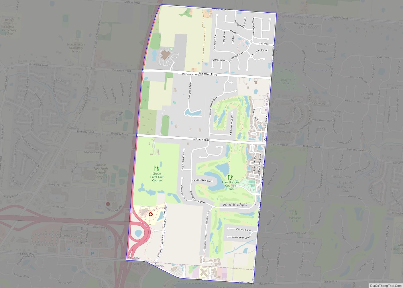
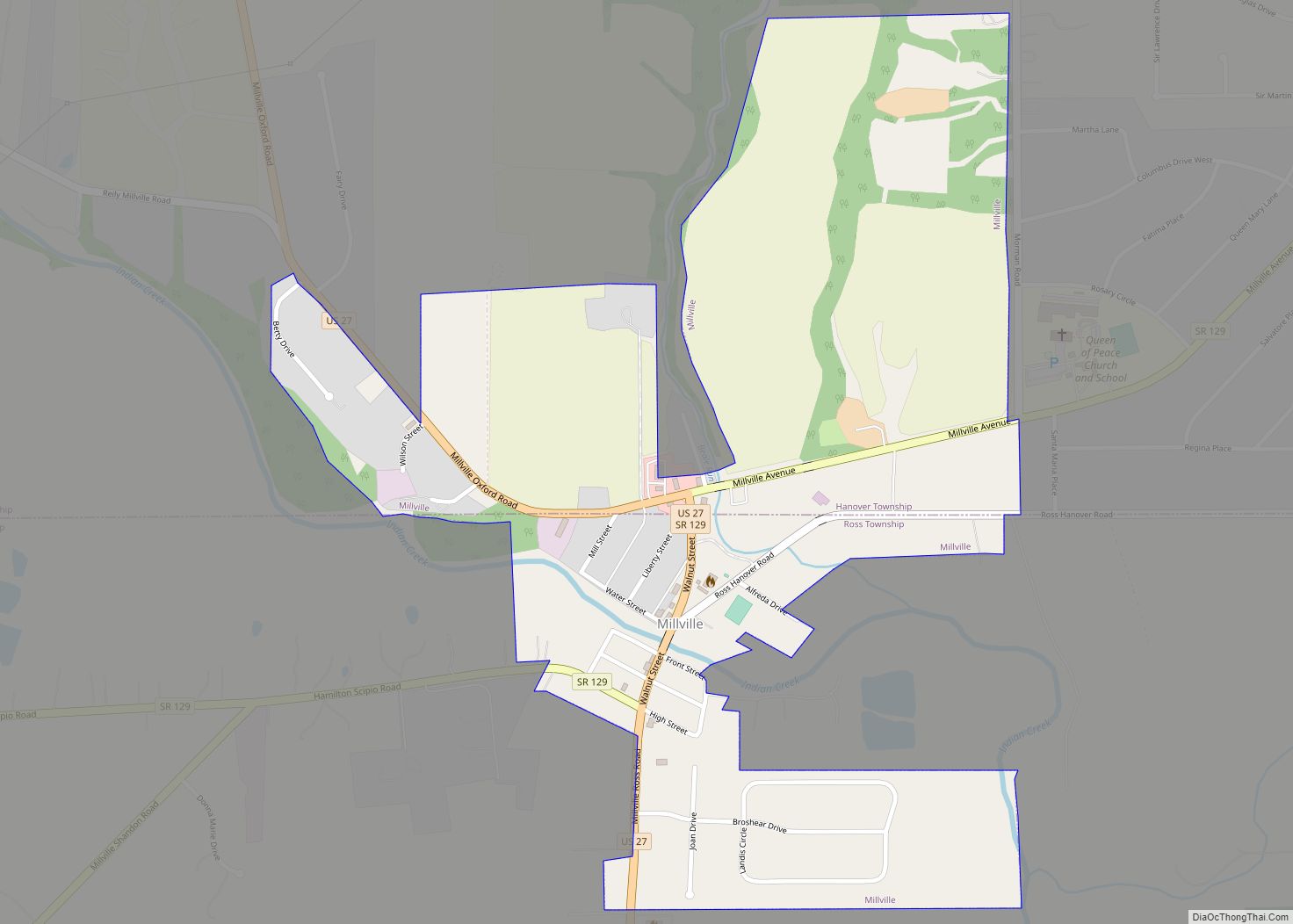
Online Interactive Map
Click on ![]() to view map in "full screen" mode.
to view map in "full screen" mode.
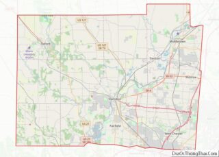
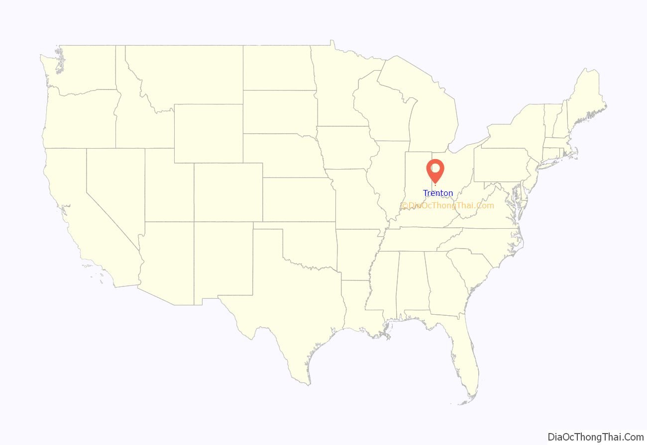
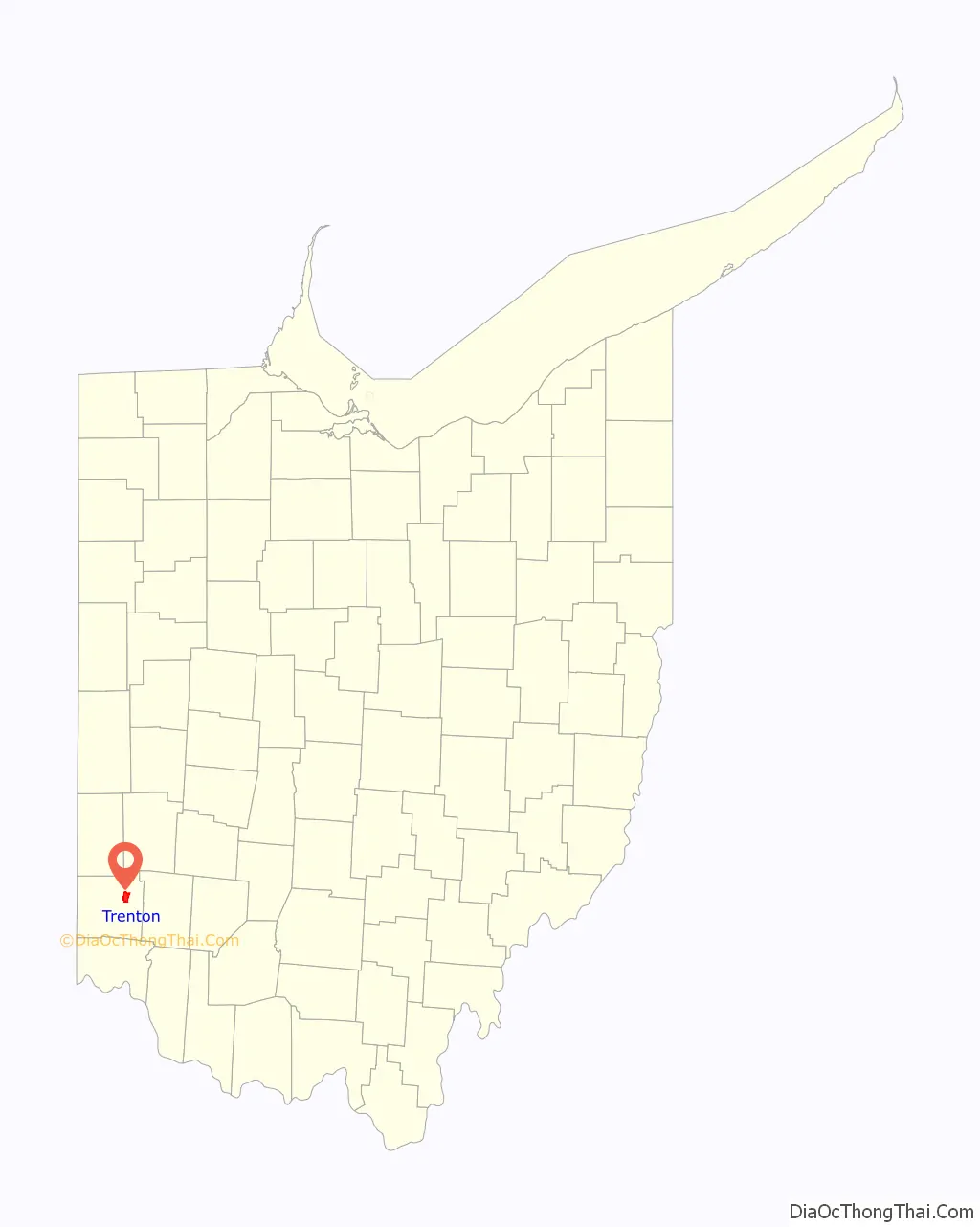
Trenton location map. Where is Trenton city?
History
Trenton was originally called Bloomfield, and under the latter name was platted in 1815. Bloomfield was named for Joseph Bloomfield, governor of New Jersey. In 1831, it was discovered that there was already a Bloomfield post office in Ohio, and so the town was renamed after the state capital of New Jersey at Trenton. Originally in Madison Township, it later annexed land in Wayne Township.
Trenton was once a stop on the Cincinnati, Hamilton and Dayton Railway.
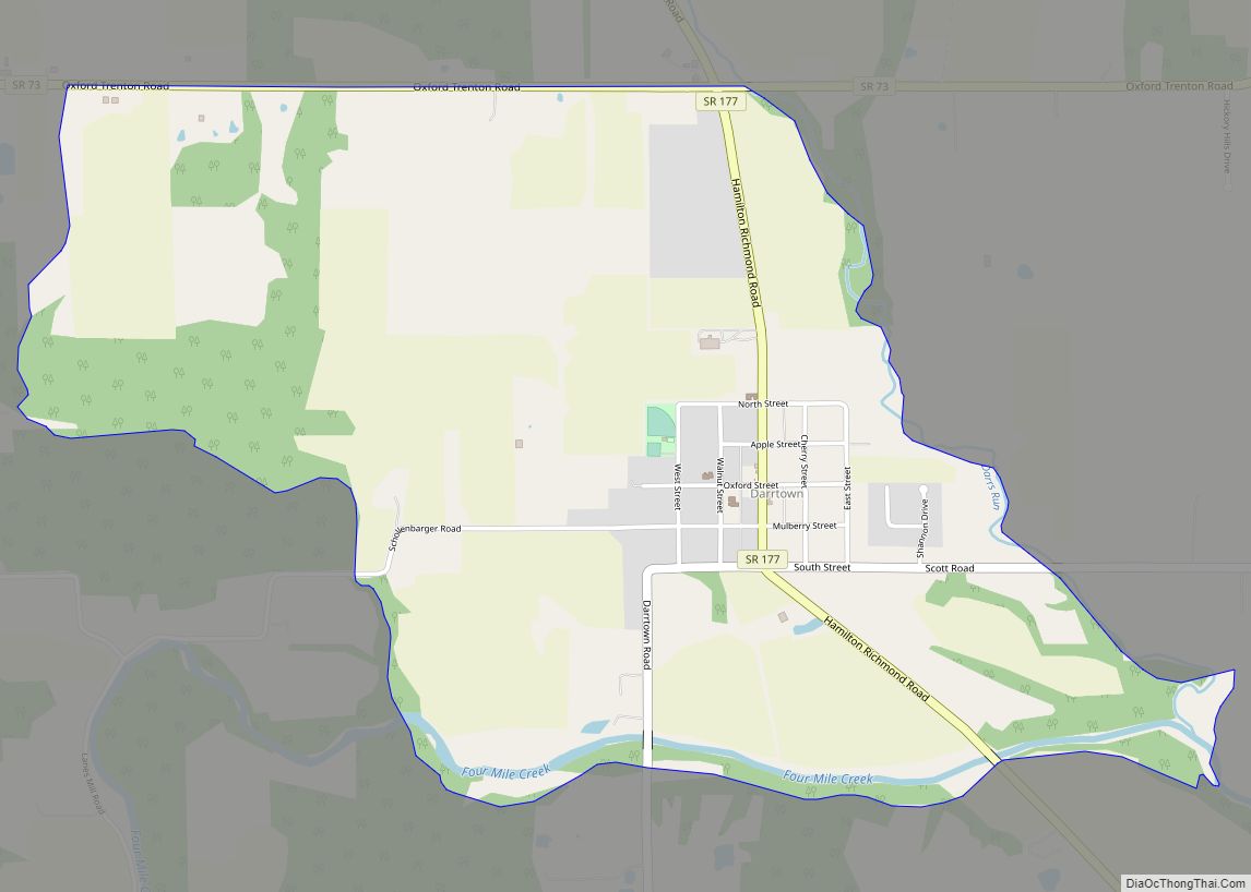
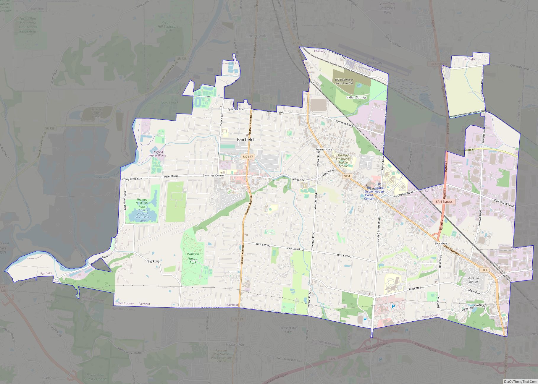
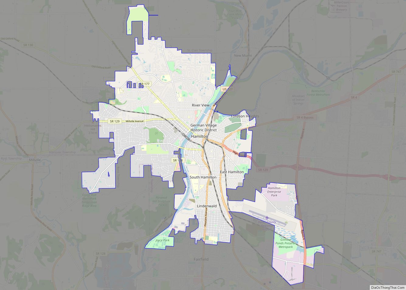
Trenton Road Map
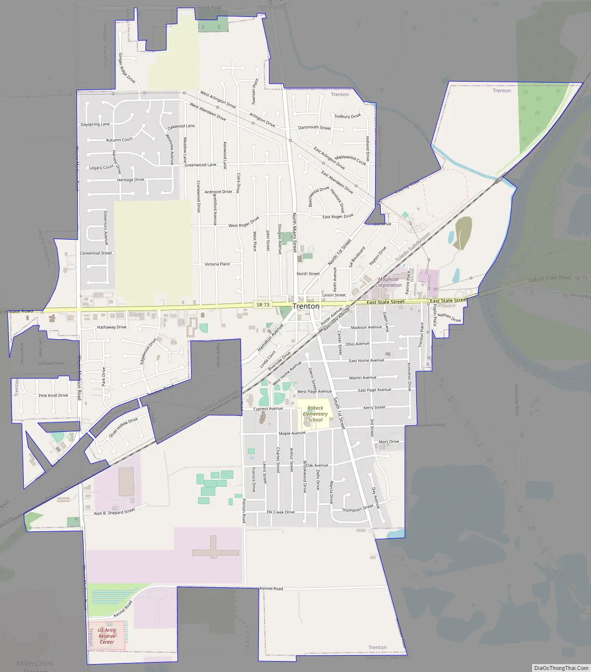
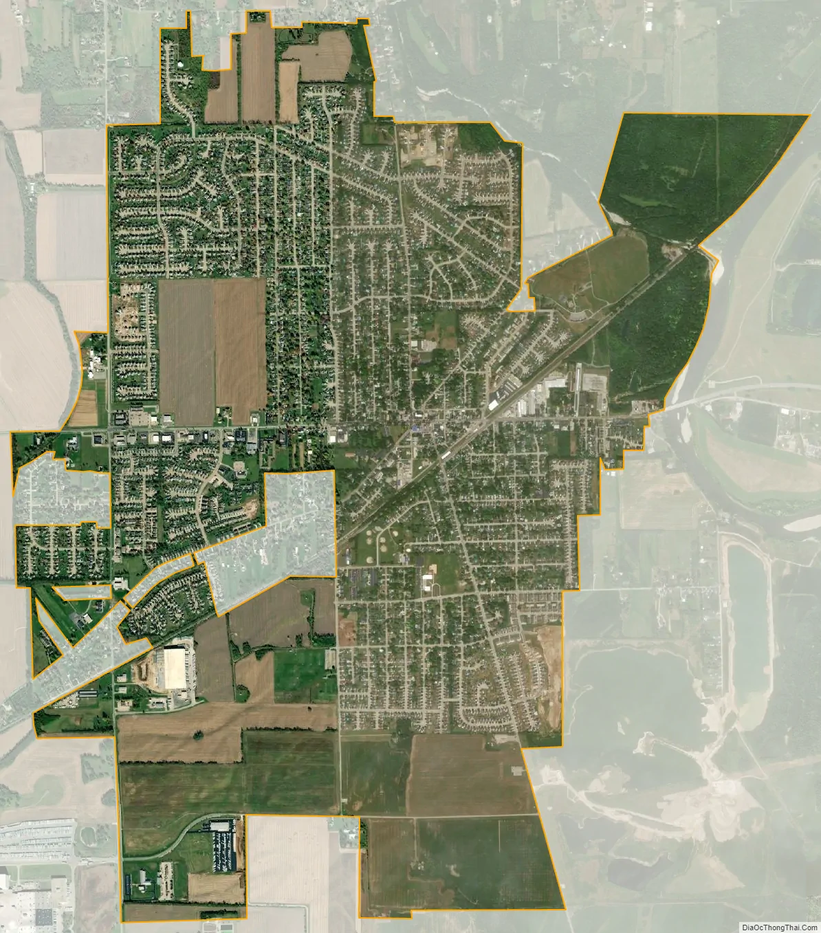
Trenton city Satellite Map
Geography
Trenton is located at 39°28′55″N 84°27′34″W / 39.48194°N 84.45944°W / 39.48194; -84.45944 (39.481909, -84.459460). The city lies on the west bank of the Great Miami River.
According to the United States Census Bureau, the city has a total area of 4.56 square miles (11.81 km), all land.
See also
Map of Ohio State and its subdivision:- Adams
- Allen
- Ashland
- Ashtabula
- Athens
- Auglaize
- Belmont
- Brown
- Butler
- Carroll
- Champaign
- Clark
- Clermont
- Clinton
- Columbiana
- Coshocton
- Crawford
- Cuyahoga
- Darke
- Defiance
- Delaware
- Erie
- Fairfield
- Fayette
- Franklin
- Fulton
- Gallia
- Geauga
- Greene
- Guernsey
- Hamilton
- Hancock
- Hardin
- Harrison
- Henry
- Highland
- Hocking
- Holmes
- Huron
- Jackson
- Jefferson
- Knox
- Lake
- Lake Erie
- Lawrence
- Licking
- Logan
- Lorain
- Lucas
- Madison
- Mahoning
- Marion
- Medina
- Meigs
- Mercer
- Miami
- Monroe
- Montgomery
- Morgan
- Morrow
- Muskingum
- Noble
- Ottawa
- Paulding
- Perry
- Pickaway
- Pike
- Portage
- Preble
- Putnam
- Richland
- Ross
- Sandusky
- Scioto
- Seneca
- Shelby
- Stark
- Summit
- Trumbull
- Tuscarawas
- Union
- Van Wert
- Vinton
- Warren
- Washington
- Wayne
- Williams
- Wood
- Wyandot
- Alabama
- Alaska
- Arizona
- Arkansas
- California
- Colorado
- Connecticut
- Delaware
- District of Columbia
- Florida
- Georgia
- Hawaii
- Idaho
- Illinois
- Indiana
- Iowa
- Kansas
- Kentucky
- Louisiana
- Maine
- Maryland
- Massachusetts
- Michigan
- Minnesota
- Mississippi
- Missouri
- Montana
- Nebraska
- Nevada
- New Hampshire
- New Jersey
- New Mexico
- New York
- North Carolina
- North Dakota
- Ohio
- Oklahoma
- Oregon
- Pennsylvania
- Rhode Island
- South Carolina
- South Dakota
- Tennessee
- Texas
- Utah
- Vermont
- Virginia
- Washington
- West Virginia
- Wisconsin
- Wyoming