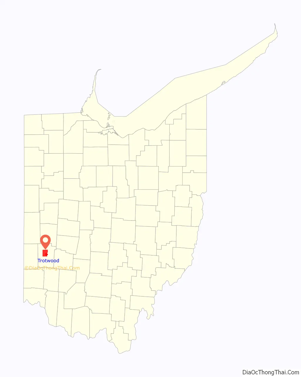
Trotwood is a city in Montgomery County, Ohio, United States and is a suburb of Dayton.
The population was 23,070 at the 2020 census. It is part of the Dayton Metropolitan Statistical Area. The city is served by the Trotwood-Madison City School District.
| Name: | Trotwood city |
|---|---|
| LSAD Code: | 25 |
| LSAD Description: | city (suffix) |
| State: | Ohio |
| County: | Montgomery County |
| Elevation: | 840 ft (260 m) |
| Total Area: | 30.51 sq mi (79.02 km²) |
| Land Area: | 30.49 sq mi (78.96 km²) |
| Water Area: | 0.02 sq mi (0.06 km²) |
| Total Population: | 23,070 |
| Population Density: | 756.72/sq mi (292.17/km²) |
| Area code: | 937, 326 |
| FIPS code: | 3977504 |
| GNISfeature ID: | 1061709 |
| Website: | https://trotwood.org/ |
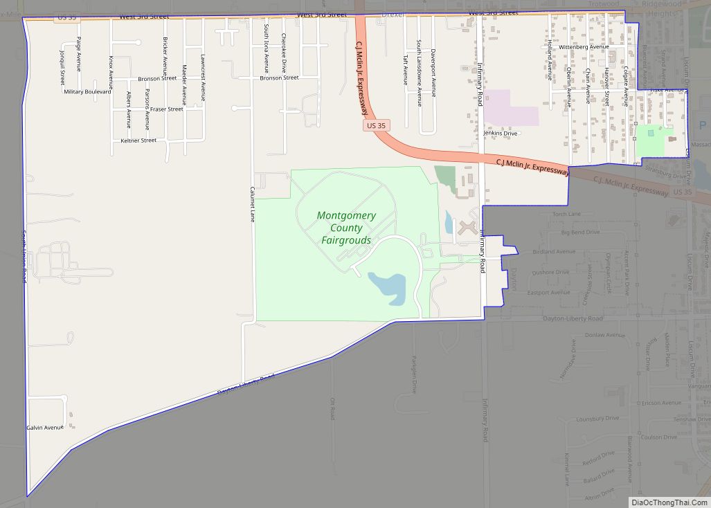
Online Interactive Map
Click on ![]() to view map in "full screen" mode.
to view map in "full screen" mode.
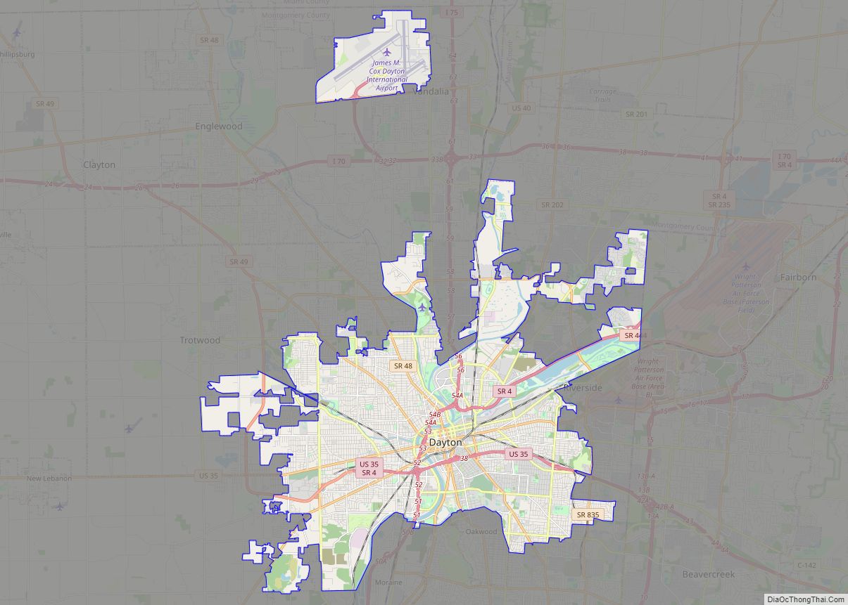
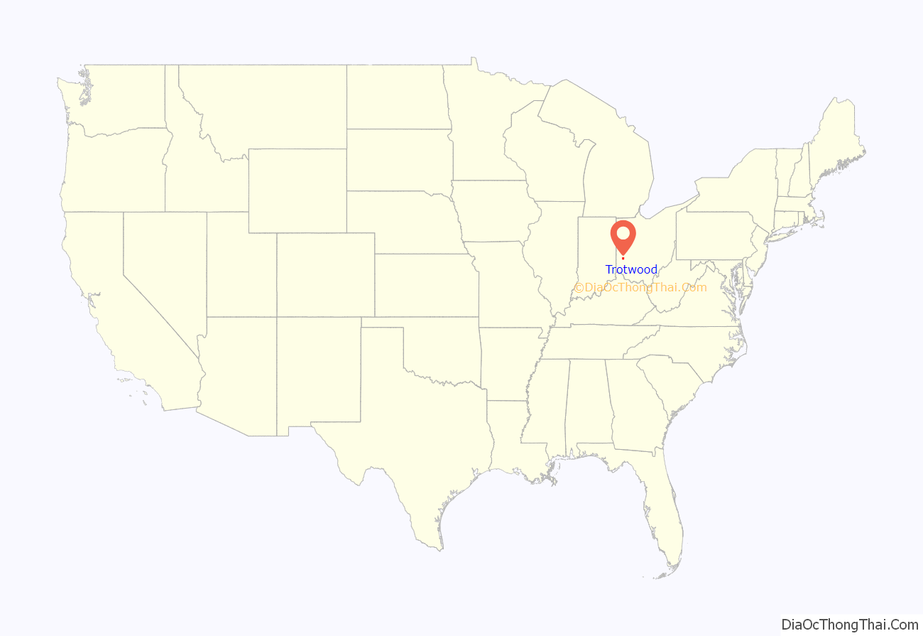
Trotwood location map. Where is Trotwood city?
History
Trotwood was originally called Higgins Station, and under the latter name was platted in 1854.
The Village of Trotwood was incorporated in 1901 from portions of Madison Township (the township itself was established in 1809); in 1996 the village and township merged into a single political entity. This merger resulted in the creation of a Trotwood neighborhood (Townview) that is completely surrounded by the City of Dayton. Several smaller sections are attached to Trotwood by only a roadway or a small strip of land. The merger also added a large rural area to this suburban community consisting of farms, golf courses, and large rural estates.
On May 27, 2019, Trotwood sustained significant damage from an EF-4 tornado that swept through Dayton area. The city suffered damage to 500 homes and 59 homes were destroyed. The Memorial Day tornado struck at 11:00 p.m. after the National Weather Service issued a tornado warning at 10:30 p.m.
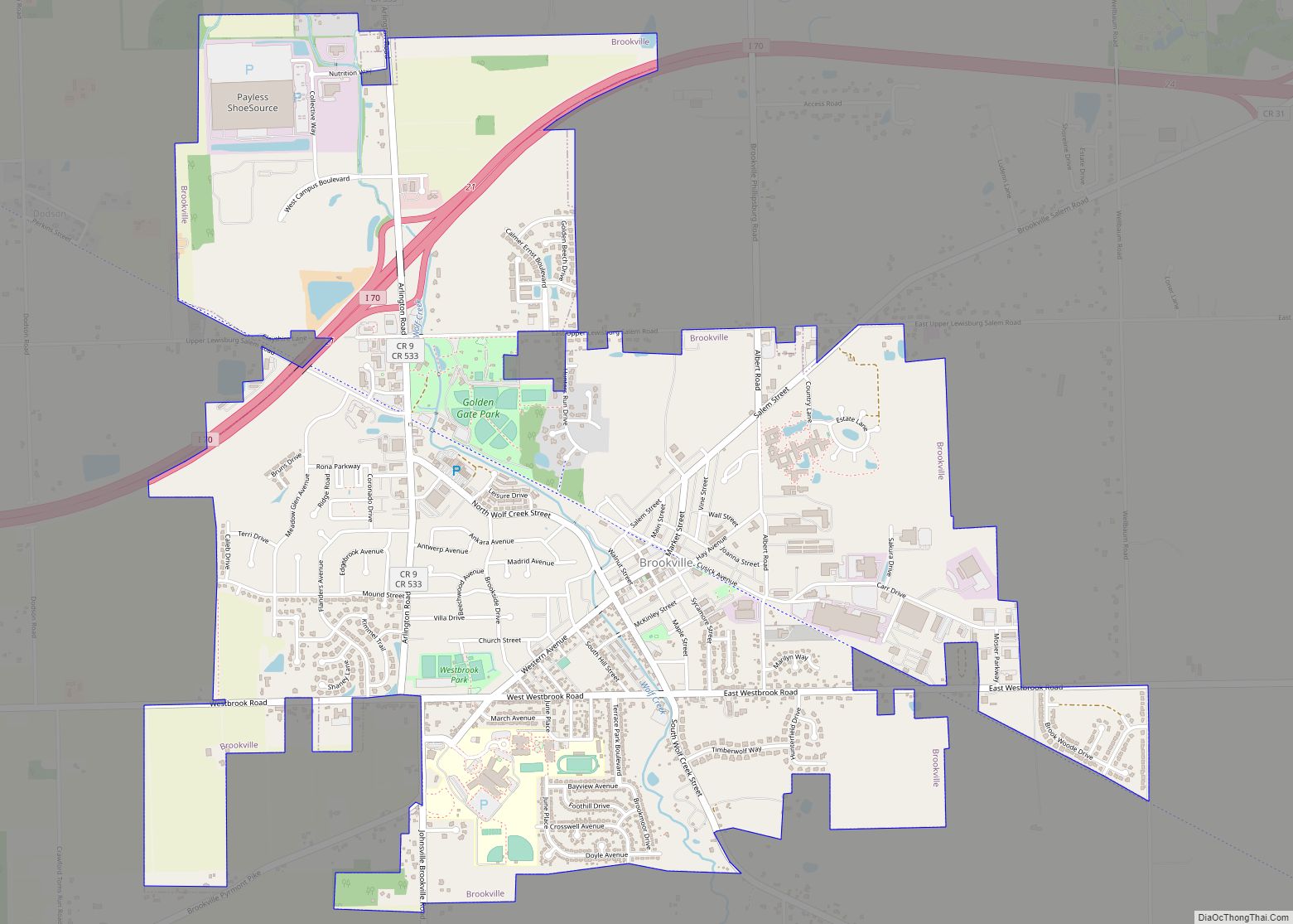
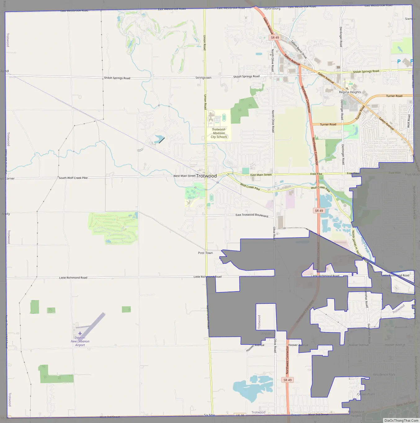
Trotwood Road Map
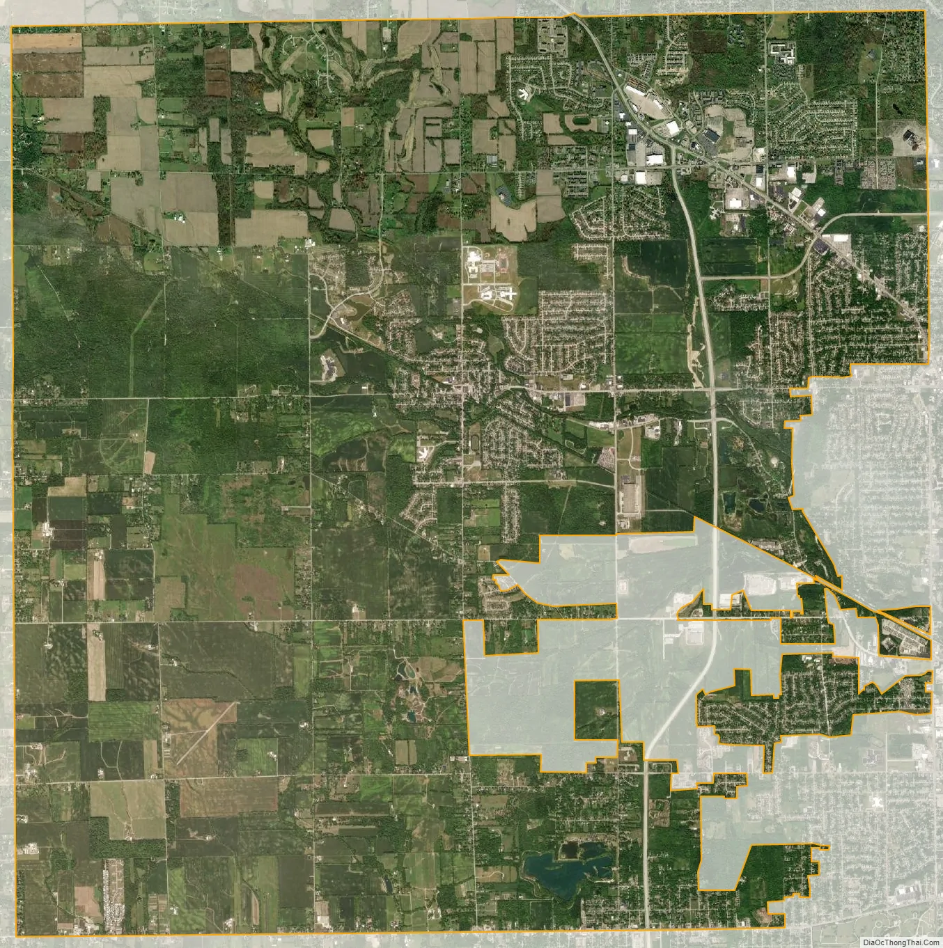
Trotwood city Satellite Map
Geography
According to the United States Census Bureau, the city has a total area of 30.50 square miles (78.99 km), of which 30.49 square miles (78.97 km) is land and 0.01 square miles (0.03 km) is water.
Wolf Creek, a tributary of the Miami River, runs through Trotwood providing fishing and many scenic areas. Along Wolf Creek is the only state park in Montgomery County. The 3,000-acre (12 km) Sycamore Woods State Park at 4675 N. Diamond Mill Road, Trotwood, Ohio offers horseback riding, hiking, hunting, and group camping.
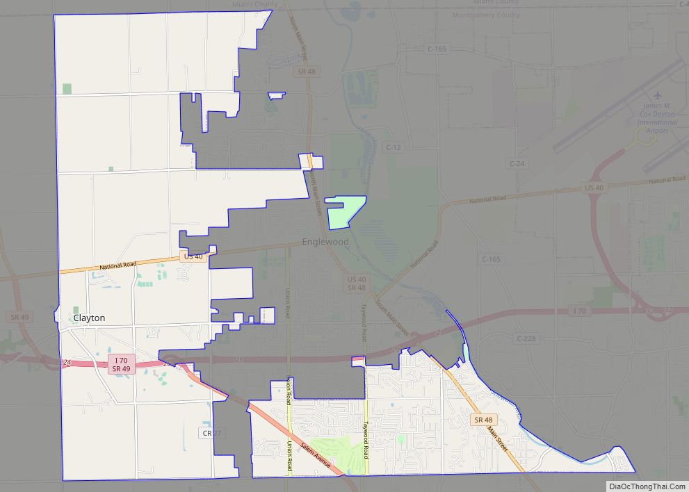
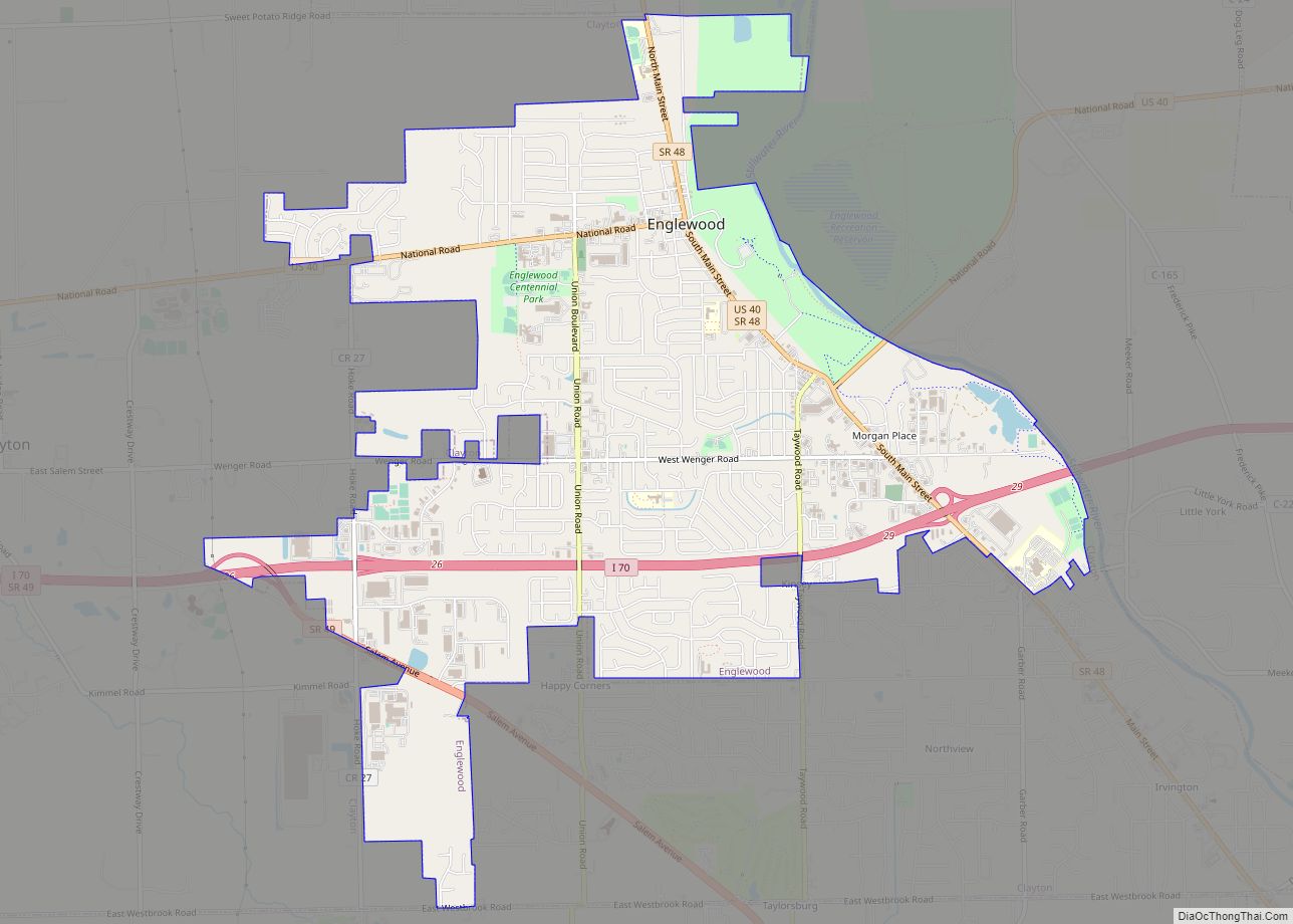
The city is adjacent to the cities of Dayton, Clayton (since Clayton merged with its surrounding Randolph Township in 1998) and Englewood.
See also
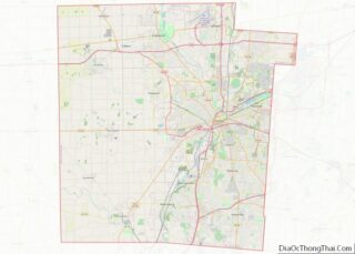
Map of Ohio State and its subdivision:- Adams
- Allen
- Ashland
- Ashtabula
- Athens
- Auglaize
- Belmont
- Brown
- Butler
- Carroll
- Champaign
- Clark
- Clermont
- Clinton
- Columbiana
- Coshocton
- Crawford
- Cuyahoga
- Darke
- Defiance
- Delaware
- Erie
- Fairfield
- Fayette
- Franklin
- Fulton
- Gallia
- Geauga
- Greene
- Guernsey
- Hamilton
- Hancock
- Hardin
- Harrison
- Henry
- Highland
- Hocking
- Holmes
- Huron
- Jackson
- Jefferson
- Knox
- Lake
- Lake Erie
- Lawrence
- Licking
- Logan
- Lorain
- Lucas
- Madison
- Mahoning
- Marion
- Medina
- Meigs
- Mercer
- Miami
- Monroe
- Montgomery
- Morgan
- Morrow
- Muskingum
- Noble
- Ottawa
- Paulding
- Perry
- Pickaway
- Pike
- Portage
- Preble
- Putnam
- Richland
- Ross
- Sandusky
- Scioto
- Seneca
- Shelby
- Stark
- Summit
- Trumbull
- Tuscarawas
- Union
- Van Wert
- Vinton
- Warren
- Washington
- Wayne
- Williams
- Wood
- Wyandot
- Alabama
- Alaska
- Arizona
- Arkansas
- California
- Colorado
- Connecticut
- Delaware
- District of Columbia
- Florida
- Georgia
- Hawaii
- Idaho
- Illinois
- Indiana
- Iowa
- Kansas
- Kentucky
- Louisiana
- Maine
- Maryland
- Massachusetts
- Michigan
- Minnesota
- Mississippi
- Missouri
- Montana
- Nebraska
- Nevada
- New Hampshire
- New Jersey
- New Mexico
- New York
- North Carolina
- North Dakota
- Ohio
- Oklahoma
- Oregon
- Pennsylvania
- Rhode Island
- South Carolina
- South Dakota
- Tennessee
- Texas
- Utah
- Vermont
- Virginia
- Washington
- West Virginia
- Wisconsin
- Wyoming