Urbancrest is a village in Franklin County, Ohio, United States. The population was 1,031 at the 2020 census. Urbancrest is in the South-Western City Schools District.
| Name: | Urbancrest village |
|---|---|
| LSAD Code: | 47 |
| LSAD Description: | village (suffix) |
| State: | Ohio |
| County: | Franklin County |
| Elevation: | 840 ft (256 m) |
| Total Area: | 0.59 sq mi (1.52 km²) |
| Land Area: | 0.59 sq mi (1.52 km²) |
| Water Area: | 0.00 sq mi (0.00 km²) |
| Total Population: | 1,031 |
| Population Density: | 1,759.39/sq mi (679.44/km²) |
| ZIP code: | 43123 |
| Area code: | 614 |
| FIPS code: | 3979100 |
| GNISfeature ID: | 1049263 |
Online Interactive Map
Click on ![]() to view map in "full screen" mode.
to view map in "full screen" mode.
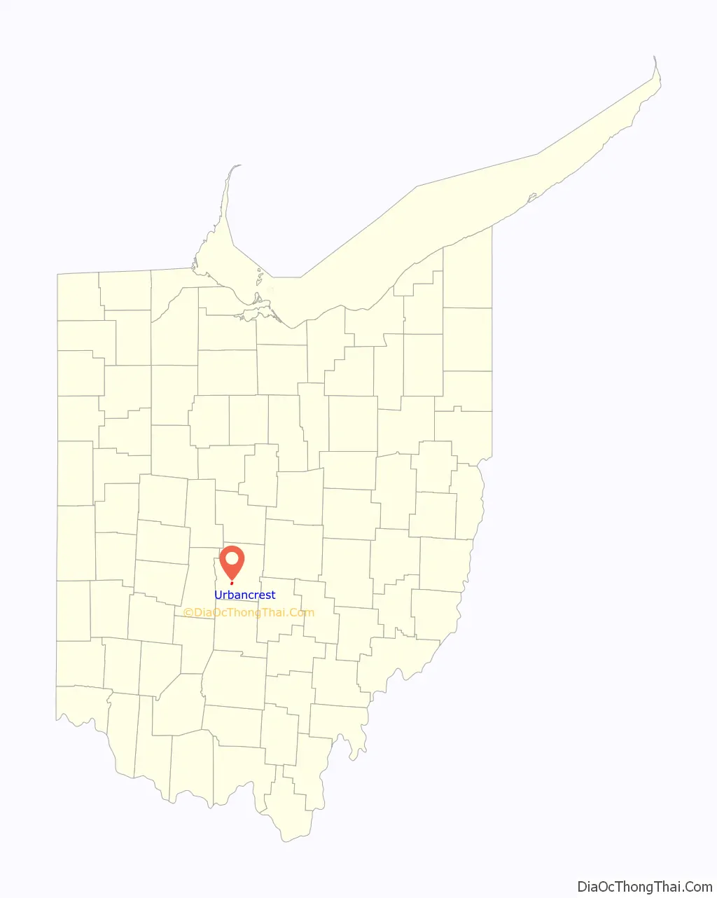
Urbancrest location map. Where is Urbancrest village?

History
Urbancrest was first settled in 1889, with the first church, later known as Union Baptist Church, being founded in 1892. The village was then incorporated in 1948. In 1971, Urbancrest elected Ellen Walker Craig-Jones as mayor, making her the first African-American female mayor elected in the United States of America.
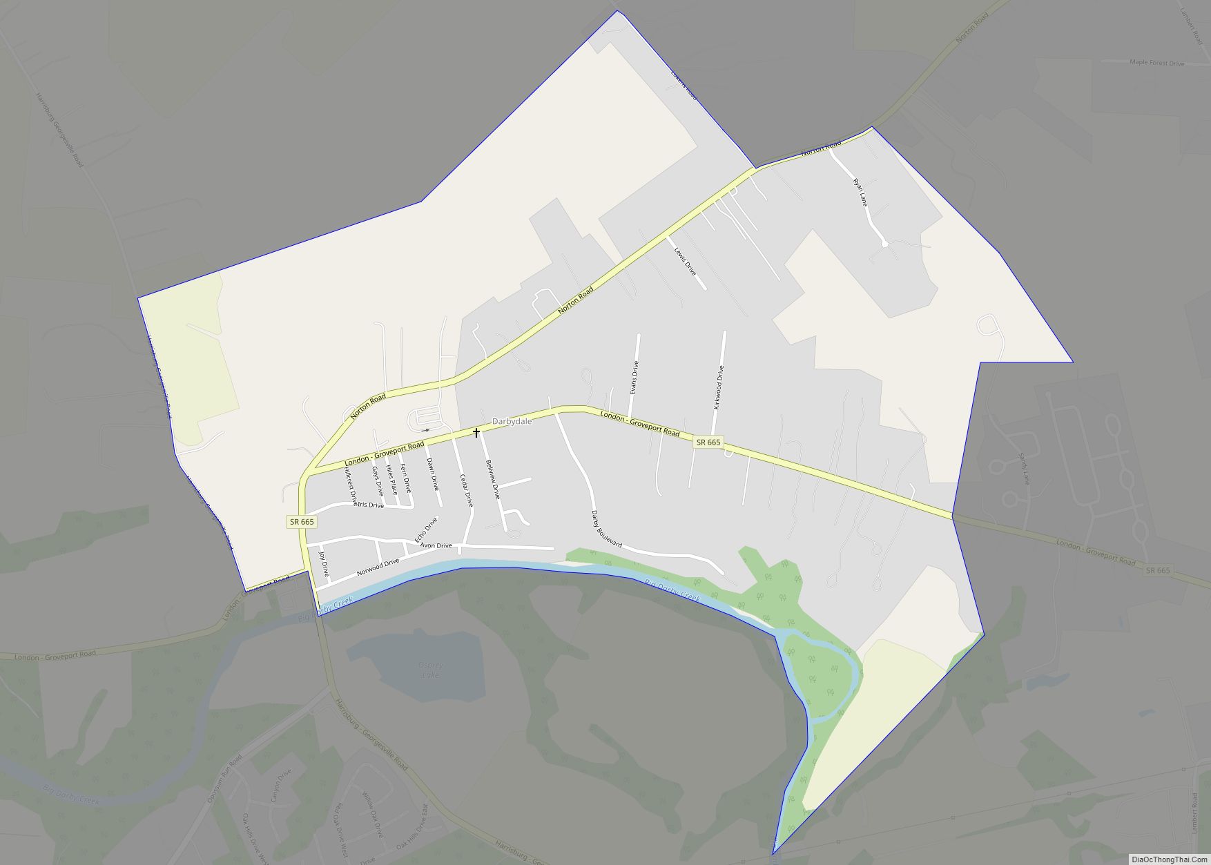
Urbancrest Road Map

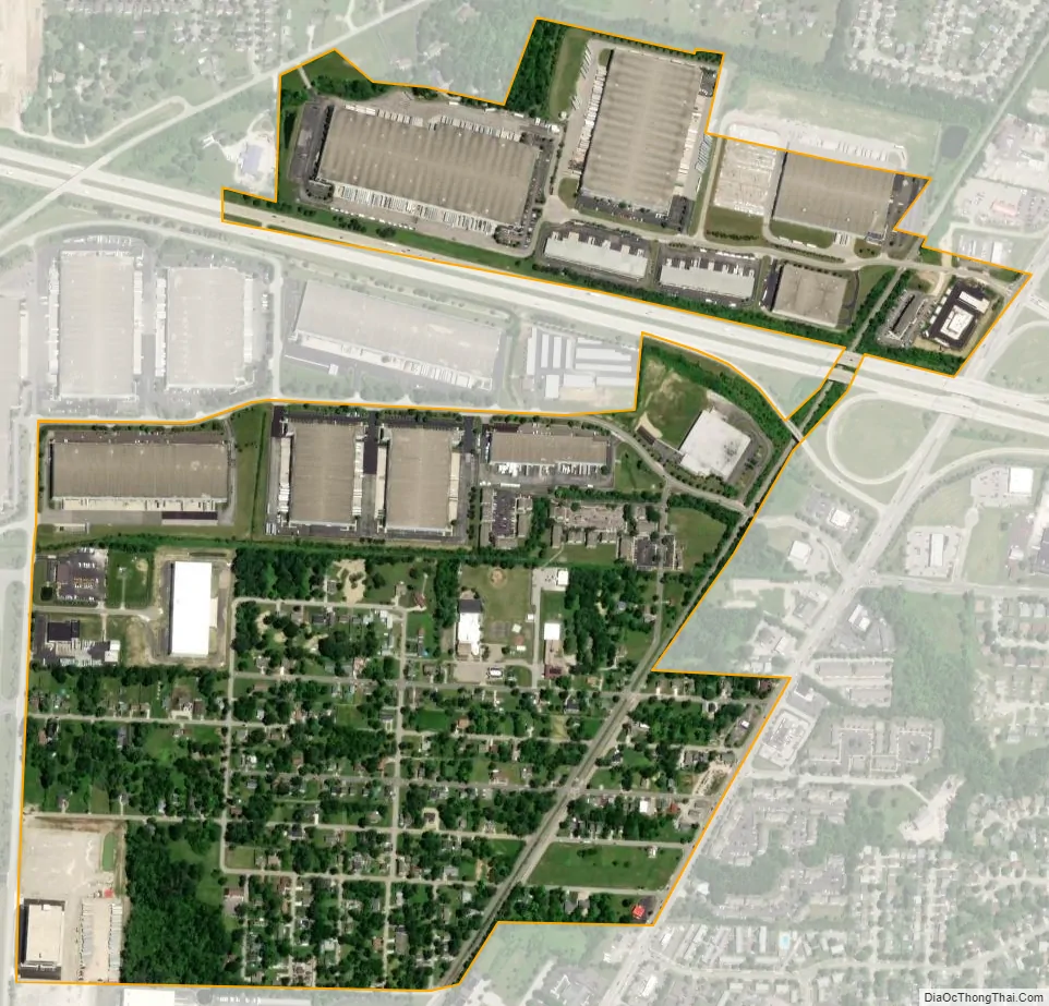
Urbancrest city Satellite Map
Geography
Urbancrest is located at 39°53′55″N 83°5′8″W / 39.89861°N 83.08556°W / 39.89861; -83.08556 (39.898611, -83.085443).
According to the United States Census Bureau, the village has a total area of 0.60 square miles (1.55 km), all land.
Urbancrest borders Columbus, Ohio and Grove City, Ohio.
It is entirely located in the South-Western City School District.
See also
Map of Ohio State and its subdivision:- Adams
- Allen
- Ashland
- Ashtabula
- Athens
- Auglaize
- Belmont
- Brown
- Butler
- Carroll
- Champaign
- Clark
- Clermont
- Clinton
- Columbiana
- Coshocton
- Crawford
- Cuyahoga
- Darke
- Defiance
- Delaware
- Erie
- Fairfield
- Fayette
- Franklin
- Fulton
- Gallia
- Geauga
- Greene
- Guernsey
- Hamilton
- Hancock
- Hardin
- Harrison
- Henry
- Highland
- Hocking
- Holmes
- Huron
- Jackson
- Jefferson
- Knox
- Lake
- Lake Erie
- Lawrence
- Licking
- Logan
- Lorain
- Lucas
- Madison
- Mahoning
- Marion
- Medina
- Meigs
- Mercer
- Miami
- Monroe
- Montgomery
- Morgan
- Morrow
- Muskingum
- Noble
- Ottawa
- Paulding
- Perry
- Pickaway
- Pike
- Portage
- Preble
- Putnam
- Richland
- Ross
- Sandusky
- Scioto
- Seneca
- Shelby
- Stark
- Summit
- Trumbull
- Tuscarawas
- Union
- Van Wert
- Vinton
- Warren
- Washington
- Wayne
- Williams
- Wood
- Wyandot
- Alabama
- Alaska
- Arizona
- Arkansas
- California
- Colorado
- Connecticut
- Delaware
- District of Columbia
- Florida
- Georgia
- Hawaii
- Idaho
- Illinois
- Indiana
- Iowa
- Kansas
- Kentucky
- Louisiana
- Maine
- Maryland
- Massachusetts
- Michigan
- Minnesota
- Mississippi
- Missouri
- Montana
- Nebraska
- Nevada
- New Hampshire
- New Jersey
- New Mexico
- New York
- North Carolina
- North Dakota
- Ohio
- Oklahoma
- Oregon
- Pennsylvania
- Rhode Island
- South Carolina
- South Dakota
- Tennessee
- Texas
- Utah
- Vermont
- Virginia
- Washington
- West Virginia
- Wisconsin
- Wyoming