Van Buren is a village in Hancock County, Ohio, United States. The population was 328 at the 2010 census.
| Name: | Van Buren village |
|---|---|
| LSAD Code: | 47 |
| LSAD Description: | village (suffix) |
| State: | Ohio |
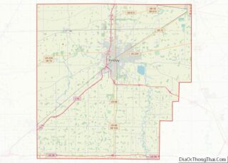
| County: | Hancock County |
| Total Area: | 0.26 sq mi (0.67 km²) |
| Land Area: | 0.26 sq mi (0.67 km²) |
| Water Area: | 0.00 sq mi (0.00 km²) |
| Total Population: | 396 |
| Population Density: | 1,534.88/sq mi (593.39/km²) |
| ZIP code: | 45889 |
| Area code: | 419 |
| FIPS code: | 3979394 |
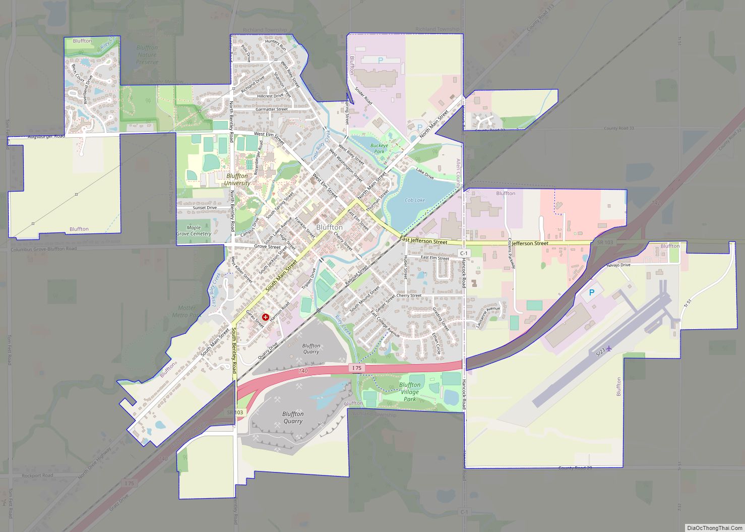
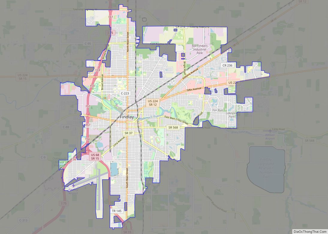
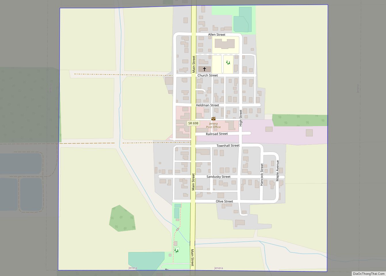
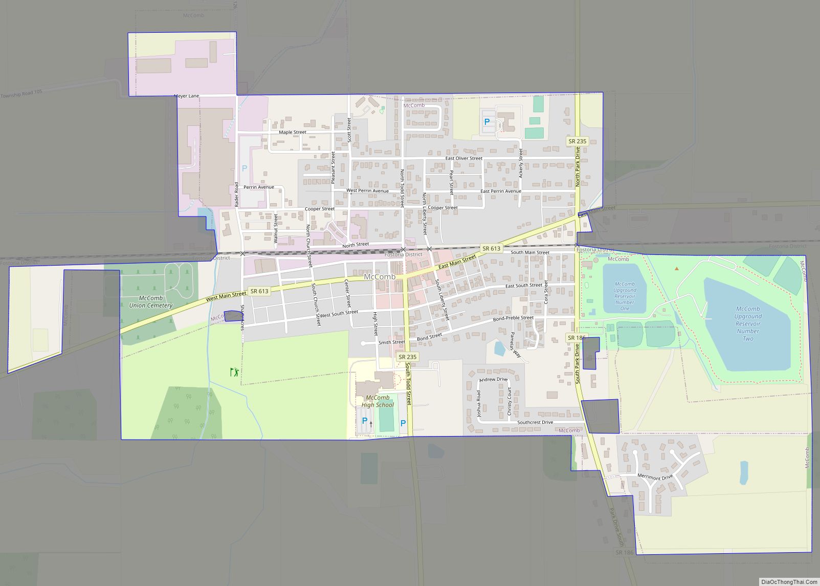
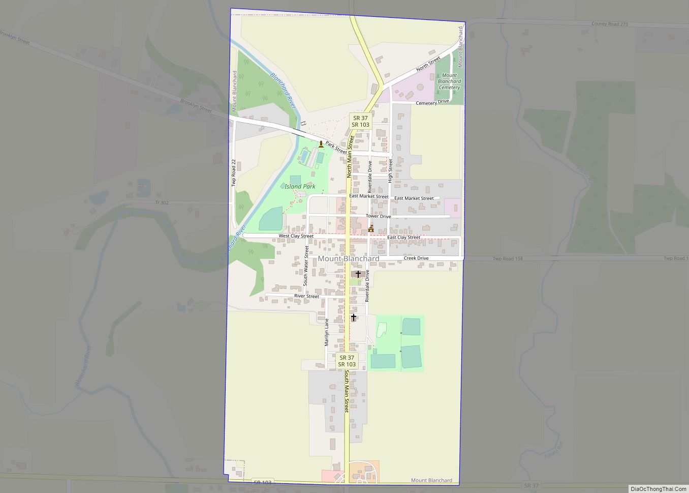
Online Interactive Map
Click on ![]() to view map in "full screen" mode.
to view map in "full screen" mode.
Van Buren location map. Where is Van Buren village?


History
Van Buren was laid out in 1833, and named for Martin Van Buren, then incumbent Vice President (1833–1837) and afterward President of the United States (1837–1841). The village was incorporated in 1866.
The first schoolhouse in Allen Township was a small log structure built in 1836. It was built of round logs covered with a clapboard roof, had greased paper windows and a huge fireplace at one end. About 1870 a two-room brick building was built on East Market Street. This building was later condemned and a four-room school was erected and used till 1917 when the schools of Allen Township were centralized and the present school, Van Buren High School, was erected.
A post office called Van Buren has been in operation since 1835.
Van Buren Road Map

Van Buren city Satellite Map

Geography
Van Buren is located at 41°8′18″N 83°38′57″W / 41.13833°N 83.64917°W / 41.13833; -83.64917 (41.138229, -83.649122).
According to the United States Census Bureau, the village has a total area of 0.26 square miles (0.67 km), all land.
See also
Map of Ohio State and its subdivision:- Adams
- Allen
- Ashland
- Ashtabula
- Athens
- Auglaize
- Belmont
- Brown
- Butler
- Carroll
- Champaign
- Clark
- Clermont
- Clinton
- Columbiana
- Coshocton
- Crawford
- Cuyahoga
- Darke
- Defiance
- Delaware
- Erie
- Fairfield
- Fayette
- Franklin
- Fulton
- Gallia
- Geauga
- Greene
- Guernsey
- Hamilton
- Hancock
- Hardin
- Harrison
- Henry
- Highland
- Hocking
- Holmes
- Huron
- Jackson
- Jefferson
- Knox
- Lake
- Lake Erie
- Lawrence
- Licking
- Logan
- Lorain
- Lucas
- Madison
- Mahoning
- Marion
- Medina
- Meigs
- Mercer
- Miami
- Monroe
- Montgomery
- Morgan
- Morrow
- Muskingum
- Noble
- Ottawa
- Paulding
- Perry
- Pickaway
- Pike
- Portage
- Preble
- Putnam
- Richland
- Ross
- Sandusky
- Scioto
- Seneca
- Shelby
- Stark
- Summit
- Trumbull
- Tuscarawas
- Union
- Van Wert
- Vinton
- Warren
- Washington
- Wayne
- Williams
- Wood
- Wyandot
- Alabama
- Alaska
- Arizona
- Arkansas
- California
- Colorado
- Connecticut
- Delaware
- District of Columbia
- Florida
- Georgia
- Hawaii
- Idaho
- Illinois
- Indiana
- Iowa
- Kansas
- Kentucky
- Louisiana
- Maine
- Maryland
- Massachusetts
- Michigan
- Minnesota
- Mississippi
- Missouri
- Montana
- Nebraska
- Nevada
- New Hampshire
- New Jersey
- New Mexico
- New York
- North Carolina
- North Dakota
- Ohio
- Oklahoma
- Oregon
- Pennsylvania
- Rhode Island
- South Carolina
- South Dakota
- Tennessee
- Texas
- Utah
- Vermont
- Virginia
- Washington
- West Virginia
- Wisconsin
- Wyoming