Wadsworth is a city in Medina County, Ohio, United States. It is counted as part of the Cleveland metropolitan area, although it functions mainly as a suburb of Akron. Founded on March 1, 1814, the city was named after General Elijah Wadsworth, a Revolutionary War hero and War of 1812 officer who owned the largest share of the lands that became Medina County, Ohio. The population was 24,007 at the 2020 census.
A post office called Wadsworth has been in operation since 1823.
| Name: | Wadsworth city |
|---|---|
| LSAD Code: | 25 |
| LSAD Description: | city (suffix) |
| State: | Ohio |
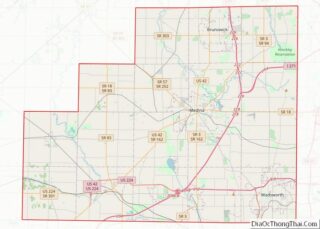
| County: | Medina County |
| Founded: | March 1, 1814; 209 years ago (1814-03-01) |
| Incorporated: | January 1, 1876; 147 years ago (1876-01-01) (village) |
| Elevation: | 1,168 ft (356 m) |
| Total Area: | 11.34 sq mi (29.38 km²) |
| Land Area: | 11.34 sq mi (29.36 km²) |
| Water Area: | 0.01 sq mi (0.02 km²) |
| Population Density: | 2,117.95/sq mi (817.72/km²) |
| ZIP code: | 44281-44282 |
| Area code: | 234, 330 |
| FIPS code: | 3980304 |
| GNISfeature ID: | 1065441 |
| Website: | https://www.wadsworthcity.com/ |
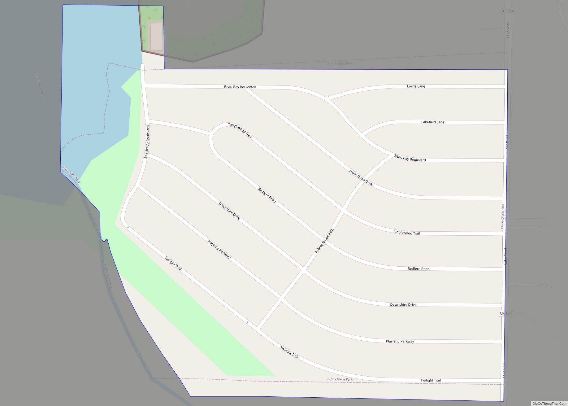
Online Interactive Map
Click on ![]() to view map in "full screen" mode.
to view map in "full screen" mode.
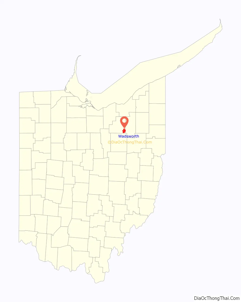
Wadsworth location map. Where is Wadsworth city?

Wadsworth Road Map

Wadsworth city Satellite Map

Geography
According to the United States Census Bureau, the city has a total area of 10.62 square miles (27.51 km), all land. It is located just a few miles south of the Saint Lawrence River Divide.
Nearby cities include Akron and Cleveland.
See also
Map of Ohio State and its subdivision:- Adams
- Allen
- Ashland
- Ashtabula
- Athens
- Auglaize
- Belmont
- Brown
- Butler
- Carroll
- Champaign
- Clark
- Clermont
- Clinton
- Columbiana
- Coshocton
- Crawford
- Cuyahoga
- Darke
- Defiance
- Delaware
- Erie
- Fairfield
- Fayette
- Franklin
- Fulton
- Gallia
- Geauga
- Greene
- Guernsey
- Hamilton
- Hancock
- Hardin
- Harrison
- Henry
- Highland
- Hocking
- Holmes
- Huron
- Jackson
- Jefferson
- Knox
- Lake
- Lake Erie
- Lawrence
- Licking
- Logan
- Lorain
- Lucas
- Madison
- Mahoning
- Marion
- Medina
- Meigs
- Mercer
- Miami
- Monroe
- Montgomery
- Morgan
- Morrow
- Muskingum
- Noble
- Ottawa
- Paulding
- Perry
- Pickaway
- Pike
- Portage
- Preble
- Putnam
- Richland
- Ross
- Sandusky
- Scioto
- Seneca
- Shelby
- Stark
- Summit
- Trumbull
- Tuscarawas
- Union
- Van Wert
- Vinton
- Warren
- Washington
- Wayne
- Williams
- Wood
- Wyandot
- Alabama
- Alaska
- Arizona
- Arkansas
- California
- Colorado
- Connecticut
- Delaware
- District of Columbia
- Florida
- Georgia
- Hawaii
- Idaho
- Illinois
- Indiana
- Iowa
- Kansas
- Kentucky
- Louisiana
- Maine
- Maryland
- Massachusetts
- Michigan
- Minnesota
- Mississippi
- Missouri
- Montana
- Nebraska
- Nevada
- New Hampshire
- New Jersey
- New Mexico
- New York
- North Carolina
- North Dakota
- Ohio
- Oklahoma
- Oregon
- Pennsylvania
- Rhode Island
- South Carolina
- South Dakota
- Tennessee
- Texas
- Utah
- Vermont
- Virginia
- Washington
- West Virginia
- Wisconsin
- Wyoming