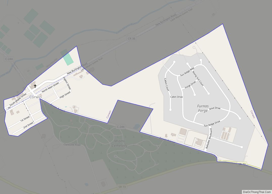
Waynesville is a village in Wayne Township, Warren County, Ohio, United States. The population was 2,669 at the 2020 census. It is named for General “Mad” Anthony Wayne. The village, located at the crossroads of U.S. Route 42 and State Route 73, is known for its antique stores and its annual sauerkraut festival. Caesar Creek State Park is located 5 miles (8.0 km) east of the village.
Waynesville is served by the Mary L. Cook Public Library. In 2005, the library loaned more than 203,000 items to its 8,000 cardholders. Total holdings in 2005 were over 67,000 volumes with over 110 periodical subscriptions. In addition the community is served by WYNS, a low-powered community radio station which also streams on the internet.
| Name: | Waynesville village |
|---|---|
| LSAD Code: | 47 |
| LSAD Description: | village (suffix) |
| State: | Ohio |
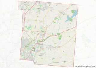
| County: | Warren County |
| Total Area: | 2.37 sq mi (6.13 km²) |
| Land Area: | 2.36 sq mi (6.12 km²) |
| Water Area: | 0.01 sq mi (0.02 km²) |
| Total Population: | 2,669 |
| Population Density: | 1,129.50/sq mi (436.18/km²) |
| FIPS code: | 3982418 |
| Website: | www.waynesville-ohio.org |
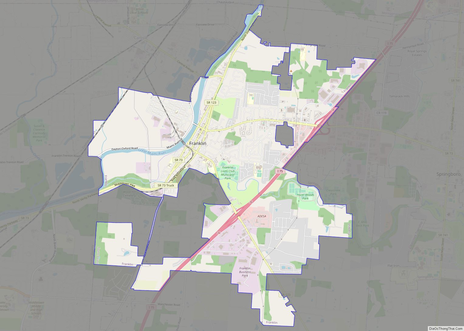
Online Interactive Map
Click on ![]() to view map in "full screen" mode.
to view map in "full screen" mode.
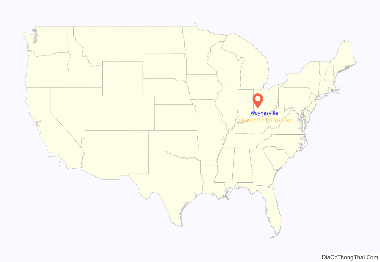
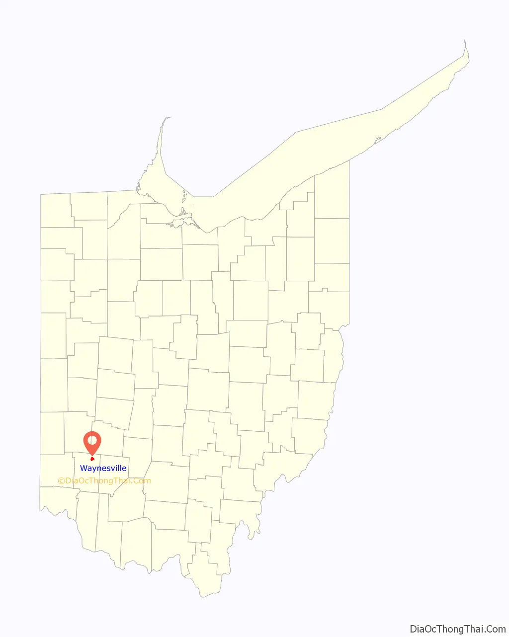
Waynesville location map. Where is Waynesville village?
History
Waynesville was laid out in 1796. It was named in honor of General “Mad” Anthony Wayne. Waynesville was originally built up chiefly by Quakers. A post office has been in operation at Waynesville since 1804.
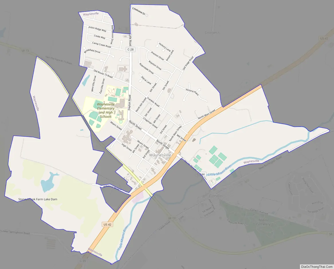
Waynesville Road Map
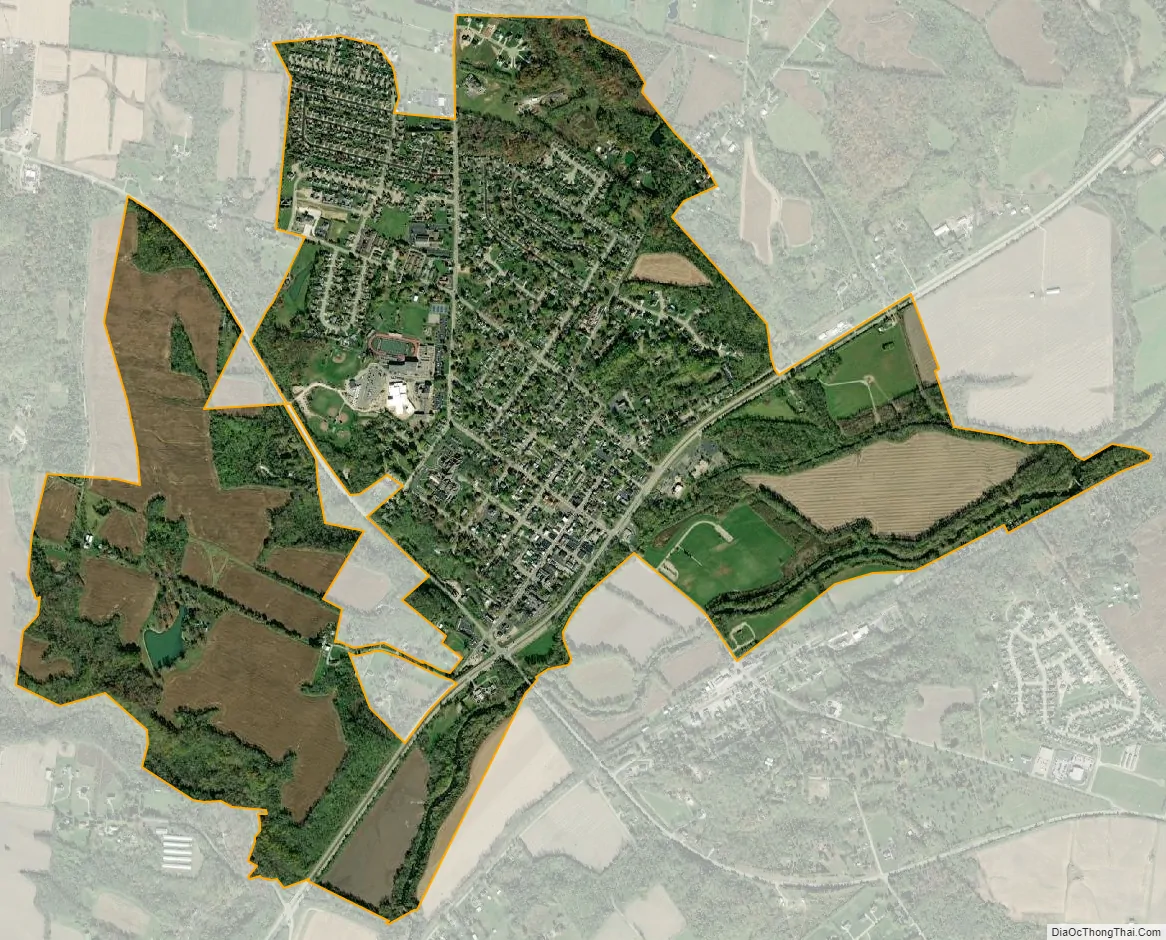
Waynesville city Satellite Map
Geography
According to the United States Census Bureau, the village has a total area of 2.39 square miles (6.19 km), of which 2.38 square miles (6.16 km) is land and 0.01 square miles (0.03 km) is water.
Little Miami River is the only river that flows through Waynesville.
See also
Map of Ohio State and its subdivision:- Adams
- Allen
- Ashland
- Ashtabula
- Athens
- Auglaize
- Belmont
- Brown
- Butler
- Carroll
- Champaign
- Clark
- Clermont
- Clinton
- Columbiana
- Coshocton
- Crawford
- Cuyahoga
- Darke
- Defiance
- Delaware
- Erie
- Fairfield
- Fayette
- Franklin
- Fulton
- Gallia
- Geauga
- Greene
- Guernsey
- Hamilton
- Hancock
- Hardin
- Harrison
- Henry
- Highland
- Hocking
- Holmes
- Huron
- Jackson
- Jefferson
- Knox
- Lake
- Lake Erie
- Lawrence
- Licking
- Logan
- Lorain
- Lucas
- Madison
- Mahoning
- Marion
- Medina
- Meigs
- Mercer
- Miami
- Monroe
- Montgomery
- Morgan
- Morrow
- Muskingum
- Noble
- Ottawa
- Paulding
- Perry
- Pickaway
- Pike
- Portage
- Preble
- Putnam
- Richland
- Ross
- Sandusky
- Scioto
- Seneca
- Shelby
- Stark
- Summit
- Trumbull
- Tuscarawas
- Union
- Van Wert
- Vinton
- Warren
- Washington
- Wayne
- Williams
- Wood
- Wyandot
- Alabama
- Alaska
- Arizona
- Arkansas
- California
- Colorado
- Connecticut
- Delaware
- District of Columbia
- Florida
- Georgia
- Hawaii
- Idaho
- Illinois
- Indiana
- Iowa
- Kansas
- Kentucky
- Louisiana
- Maine
- Maryland
- Massachusetts
- Michigan
- Minnesota
- Mississippi
- Missouri
- Montana
- Nebraska
- Nevada
- New Hampshire
- New Jersey
- New Mexico
- New York
- North Carolina
- North Dakota
- Ohio
- Oklahoma
- Oregon
- Pennsylvania
- Rhode Island
- South Carolina
- South Dakota
- Tennessee
- Texas
- Utah
- Vermont
- Virginia
- Washington
- West Virginia
- Wisconsin
- Wyoming