Wellington is a village in Lorain County, Ohio. The population was 4,799 at the time of the 2020 census.
| Name: | Wellington village |
|---|---|
| LSAD Code: | 47 |
| LSAD Description: | village (suffix) |
| State: | Ohio |
| County: | Lorain County |
| Total Area: | 3.94 sq mi (10.19 km²) |
| Land Area: | 3.64 sq mi (9.44 km²) |
| Water Area: | 0.29 sq mi (0.75 km²) 7.46% |
| Total Population: | 4,799 |
| Population Density: | 1,316.96/sq mi (508.45/km²) |
| Area code: | 440 |
| FIPS code: | 3982642 |
| Website: | http://www.villageofwellington.com |
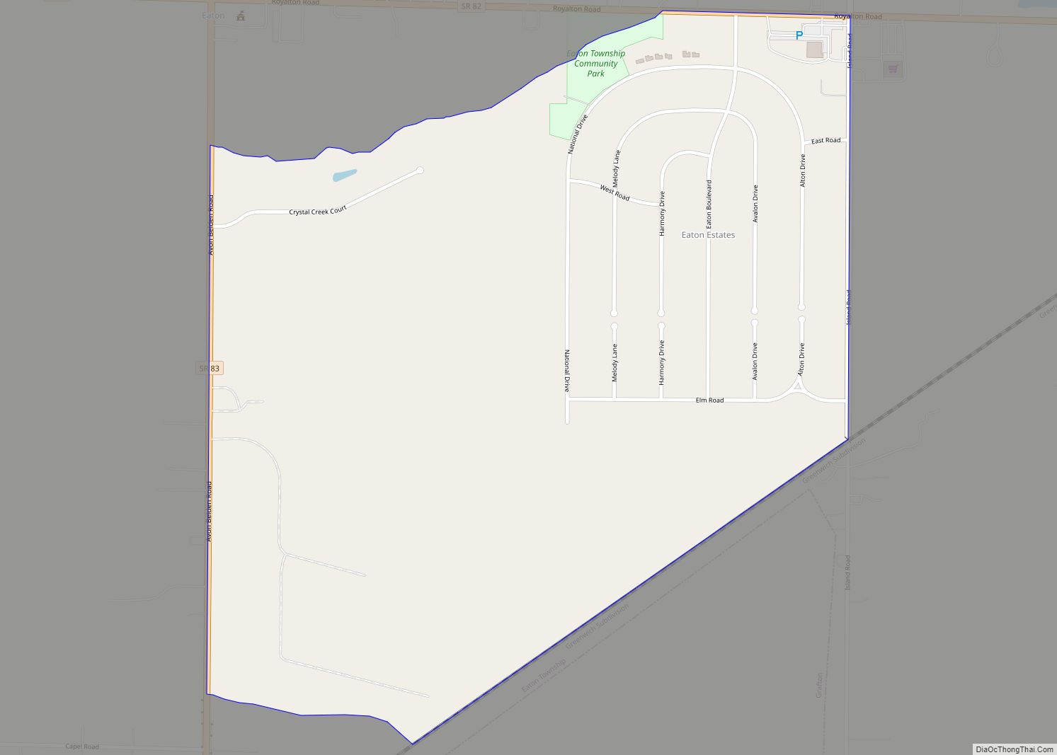
Online Interactive Map
Click on ![]() to view map in "full screen" mode.
to view map in "full screen" mode.
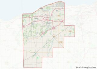
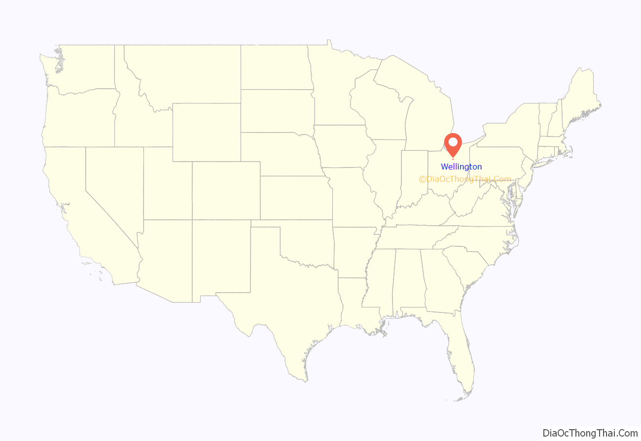
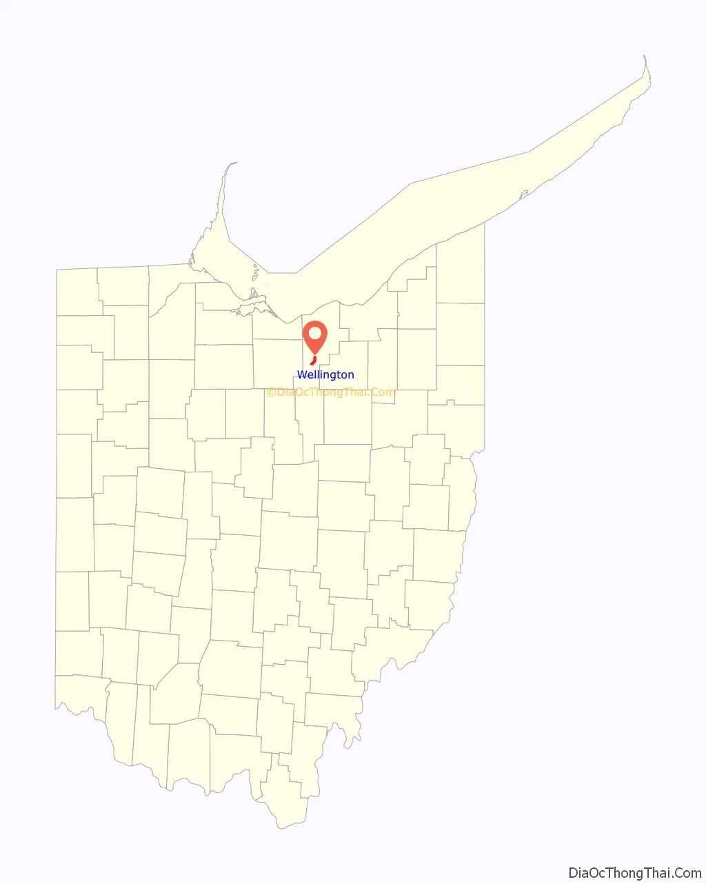
Wellington location map. Where is Wellington village?
History
Some say the village was named after William Welling, a local resident, while others believe the name is derived from the title of the Duke of Wellington.
Wellington was incorporated as a village in 1855.
In 1858, the former American House Hotel (later torn down and replaced by Herrick Memorial Library) was the site of the Oberlin-Wellington Rescue. A group of men, both white and black and many from Oberlin, swarmed the hotel to rescue runaway slave John Price. He was being held by a US Marshal and his men, who intended to return him to his master in Kentucky.
The abolitionists transported Price out of town en route to the Underground Railroad and helped convey him to Canada. Thirty-seven men were indicted, but only two, Simeon M. Bushnell and Charles Henry Langston, were tried in federal court for interfering with the marshal in carrying out the Fugitive Slave Law. After Langston’s eloquent speech about slavery and discrimination, the judge gave them light sentences. The events and trial received national attention, and kept the issue of slavery at the forefront of debate.
Archibald M. Willard, painter of the patriotic Spirit of ’76 painting, lived in Wellington during the 19th century. He is buried in Greenwood Cemetery on the outskirts of the village. The Spirit of ’76 Museum, also located in Wellington, is dedicated to Willard and the history of Wellington. The original drum and fife used as models in the painting are also on display.
On New Year’s Day, 1951, two eleven-year-old boys, Gerald Kordelsky and William Flood, accidentally drowned in an abandoned well at Chismar Farm in Wellington.
In 2010, Wellington was named the “Best Old House Neighborhood” for the state of Ohio by This Old House Magazine in their annual feature article.
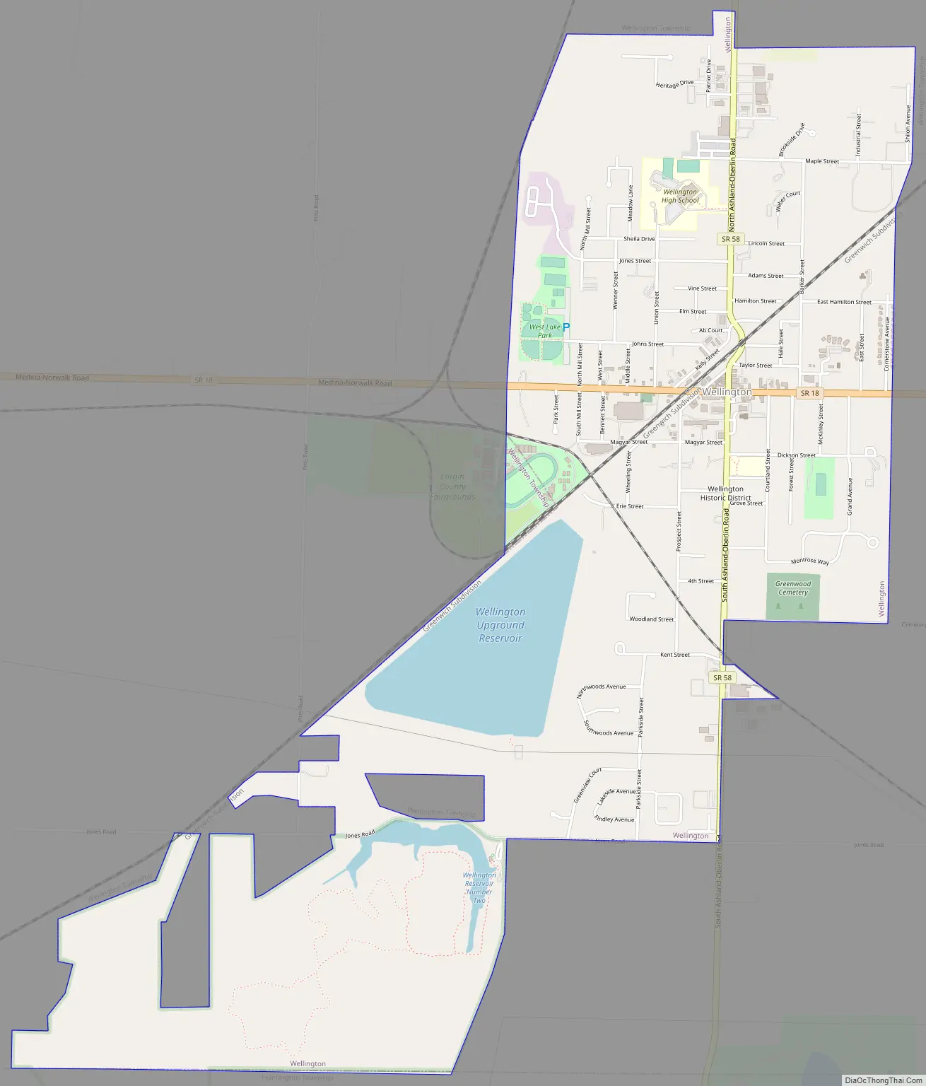
Wellington Road Map
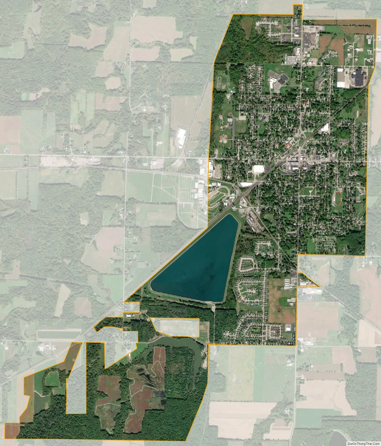
Wellington city Satellite Map
Geography
Wellington is located at the intersection of State Routes 18 and 58.
According to the United States Census Bureau, the village has a total area of 3.89 square miles (10.08 km), of which 3.60 square miles (9.32 km) is land and 0.29 square miles (0.75 km) is water.
See also
Map of Ohio State and its subdivision:- Adams
- Allen
- Ashland
- Ashtabula
- Athens
- Auglaize
- Belmont
- Brown
- Butler
- Carroll
- Champaign
- Clark
- Clermont
- Clinton
- Columbiana
- Coshocton
- Crawford
- Cuyahoga
- Darke
- Defiance
- Delaware
- Erie
- Fairfield
- Fayette
- Franklin
- Fulton
- Gallia
- Geauga
- Greene
- Guernsey
- Hamilton
- Hancock
- Hardin
- Harrison
- Henry
- Highland
- Hocking
- Holmes
- Huron
- Jackson
- Jefferson
- Knox
- Lake
- Lake Erie
- Lawrence
- Licking
- Logan
- Lorain
- Lucas
- Madison
- Mahoning
- Marion
- Medina
- Meigs
- Mercer
- Miami
- Monroe
- Montgomery
- Morgan
- Morrow
- Muskingum
- Noble
- Ottawa
- Paulding
- Perry
- Pickaway
- Pike
- Portage
- Preble
- Putnam
- Richland
- Ross
- Sandusky
- Scioto
- Seneca
- Shelby
- Stark
- Summit
- Trumbull
- Tuscarawas
- Union
- Van Wert
- Vinton
- Warren
- Washington
- Wayne
- Williams
- Wood
- Wyandot
- Alabama
- Alaska
- Arizona
- Arkansas
- California
- Colorado
- Connecticut
- Delaware
- District of Columbia
- Florida
- Georgia
- Hawaii
- Idaho
- Illinois
- Indiana
- Iowa
- Kansas
- Kentucky
- Louisiana
- Maine
- Maryland
- Massachusetts
- Michigan
- Minnesota
- Mississippi
- Missouri
- Montana
- Nebraska
- Nevada
- New Hampshire
- New Jersey
- New Mexico
- New York
- North Carolina
- North Dakota
- Ohio
- Oklahoma
- Oregon
- Pennsylvania
- Rhode Island
- South Carolina
- South Dakota
- Tennessee
- Texas
- Utah
- Vermont
- Virginia
- Washington
- West Virginia
- Wisconsin
- Wyoming