West Carrollton is a city in Montgomery County, Ohio, United States. A suburb of Dayton, its population was 13,129 at the 2020 census. It is part of the Dayton Metropolitan Statistical Area. The Great Miami River runs through the town and forms most of its northern border.
| Name: | West Carrollton city |
|---|---|
| LSAD Code: | 25 |
| LSAD Description: | city (suffix) |
| State: | Ohio |
| County: | Montgomery County |
| Elevation: | 702 ft (214 m) |
| Total Area: | 6.65 sq mi (17.23 km²) |
| Land Area: | 6.43 sq mi (16.65 km²) |
| Water Area: | 0.22 sq mi (0.58 km²) |
| Total Population: | 13,129 |
| Population Density: | 2,042.47/sq mi (788.55/km²) |
| ZIP code: | 45449 |
| Area code: | 937, 326 |
| FIPS code: | 3983090 |
| GNISfeature ID: | 1065462 |
| Website: | www.westcarrollton.org |
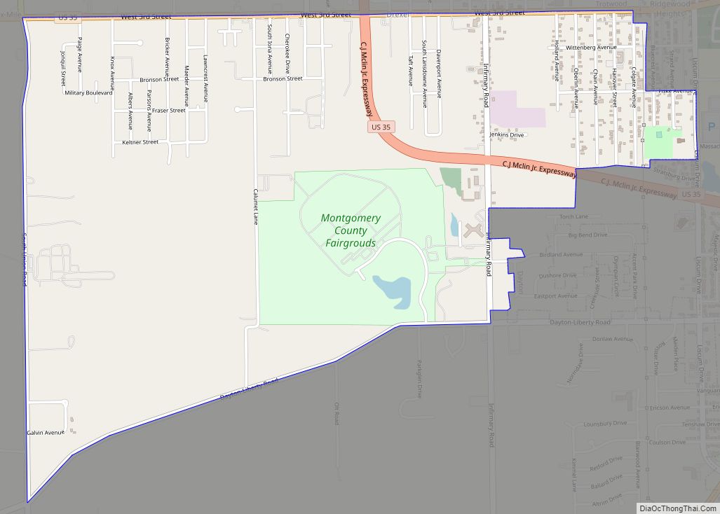
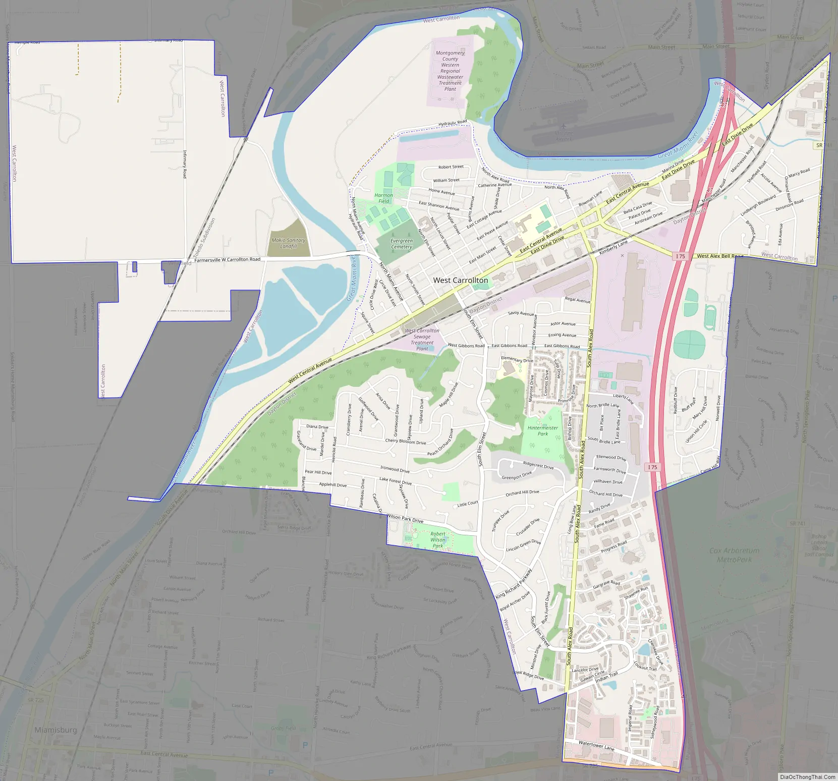
Online Interactive Map
Click on ![]() to view map in "full screen" mode.
to view map in "full screen" mode.
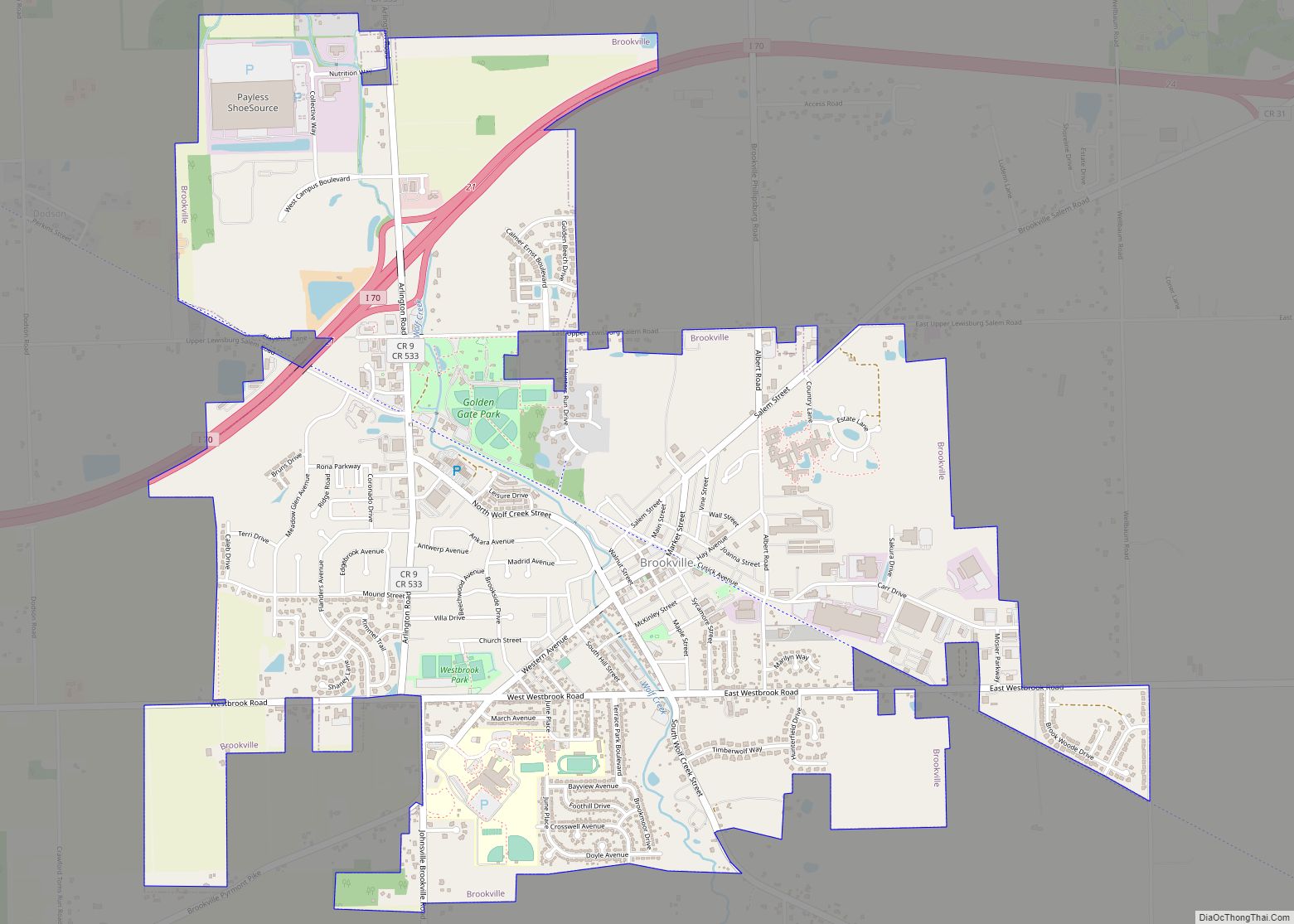
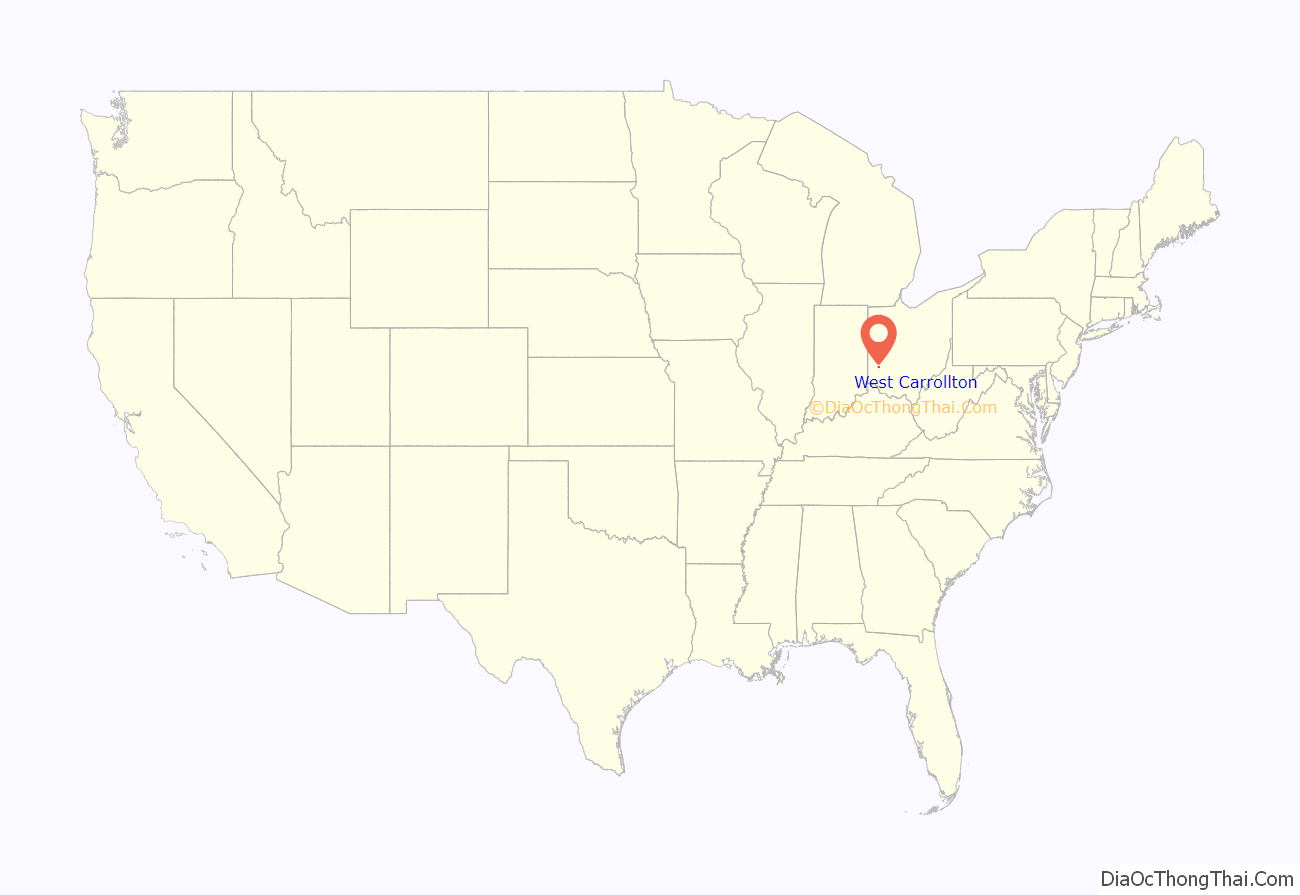
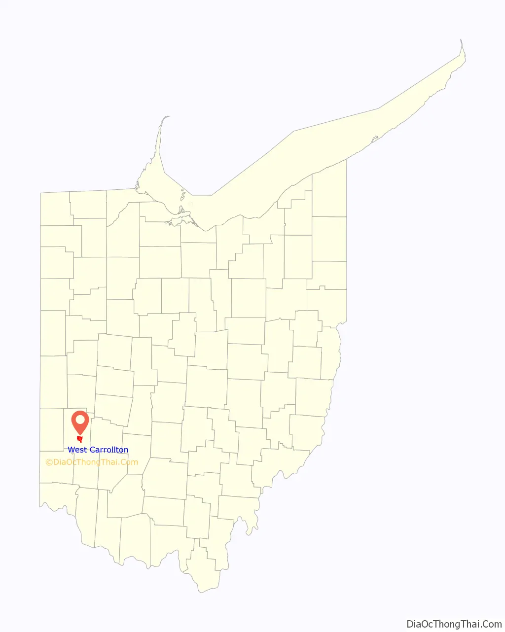
West Carrollton location map. Where is West Carrollton city?
History
West Carrollton was originally called Carrollton, and under the latter name was laid out in 1830. This changed was said to have occurred in response to the amount of mail erroneously received for the second city of Carrollton, OH. Before its current city symbol, the symbol of West Carrollton was a simple pentagon. This resembled the city’s rich transportation history, as the small town at one point had five forms of transport running through it: train, canal, riverboats, trolleys and cars.
West Carrollton Road Map
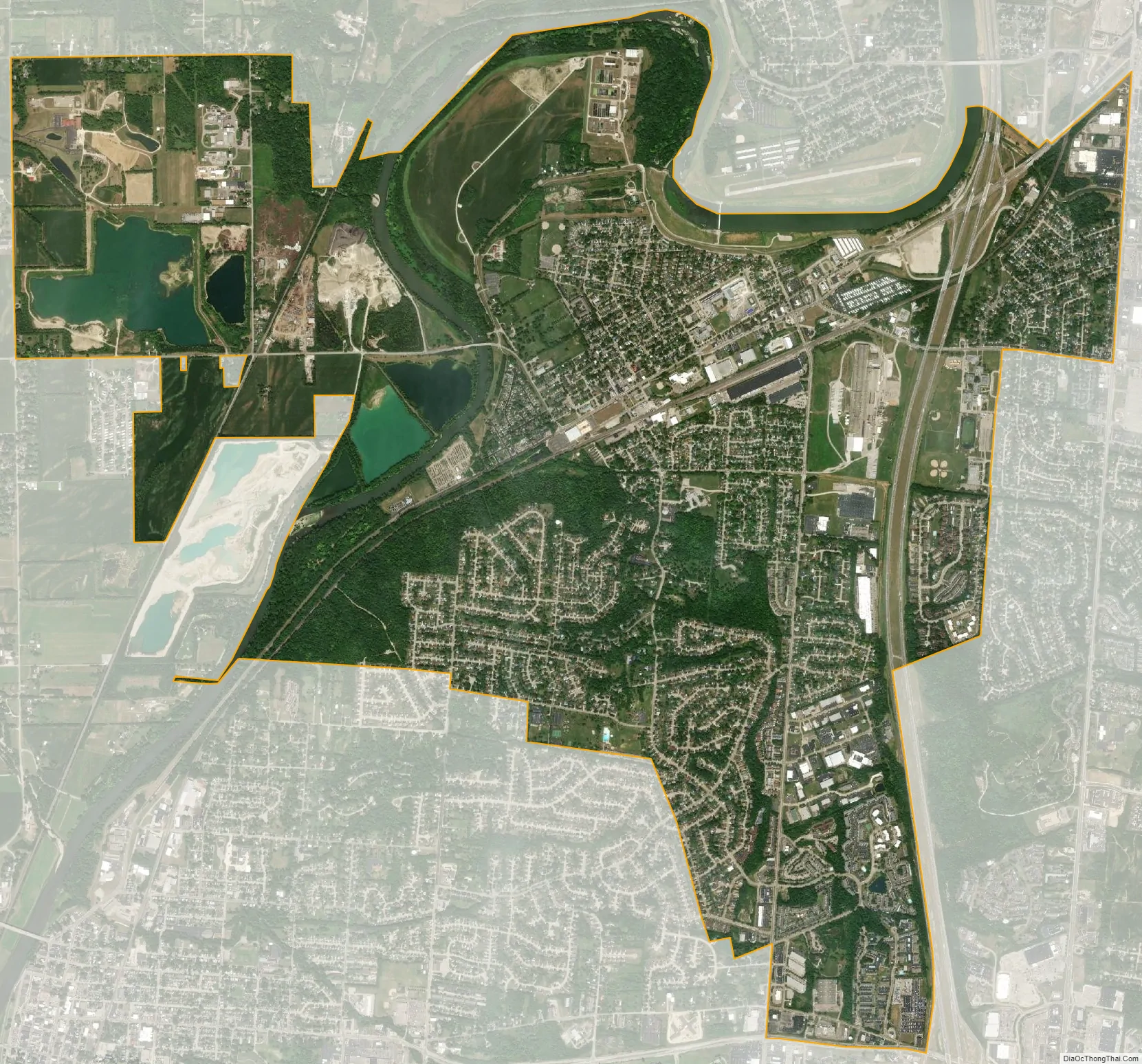
West Carrollton city Satellite Map
Geography
West Carrollton is located at 39°40′5″N 84°14′53″W / 39.66806°N 84.24806°W / 39.66806; -84.24806 (39.668050, -84.247991).
According to the United States Census Bureau, the city has a total area of 6.66 square miles (17.25 km), of which 6.44 square miles (16.68 km) is land and 0.22 square miles (0.57 km) is water.
See also
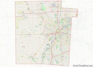
Map of Ohio State and its subdivision:- Adams
- Allen
- Ashland
- Ashtabula
- Athens
- Auglaize
- Belmont
- Brown
- Butler
- Carroll
- Champaign
- Clark
- Clermont
- Clinton
- Columbiana
- Coshocton
- Crawford
- Cuyahoga
- Darke
- Defiance
- Delaware
- Erie
- Fairfield
- Fayette
- Franklin
- Fulton
- Gallia
- Geauga
- Greene
- Guernsey
- Hamilton
- Hancock
- Hardin
- Harrison
- Henry
- Highland
- Hocking
- Holmes
- Huron
- Jackson
- Jefferson
- Knox
- Lake
- Lake Erie
- Lawrence
- Licking
- Logan
- Lorain
- Lucas
- Madison
- Mahoning
- Marion
- Medina
- Meigs
- Mercer
- Miami
- Monroe
- Montgomery
- Morgan
- Morrow
- Muskingum
- Noble
- Ottawa
- Paulding
- Perry
- Pickaway
- Pike
- Portage
- Preble
- Putnam
- Richland
- Ross
- Sandusky
- Scioto
- Seneca
- Shelby
- Stark
- Summit
- Trumbull
- Tuscarawas
- Union
- Van Wert
- Vinton
- Warren
- Washington
- Wayne
- Williams
- Wood
- Wyandot
- Alabama
- Alaska
- Arizona
- Arkansas
- California
- Colorado
- Connecticut
- Delaware
- District of Columbia
- Florida
- Georgia
- Hawaii
- Idaho
- Illinois
- Indiana
- Iowa
- Kansas
- Kentucky
- Louisiana
- Maine
- Maryland
- Massachusetts
- Michigan
- Minnesota
- Mississippi
- Missouri
- Montana
- Nebraska
- Nevada
- New Hampshire
- New Jersey
- New Mexico
- New York
- North Carolina
- North Dakota
- Ohio
- Oklahoma
- Oregon
- Pennsylvania
- Rhode Island
- South Carolina
- South Dakota
- Tennessee
- Texas
- Utah
- Vermont
- Virginia
- Washington
- West Virginia
- Wisconsin
- Wyoming