Williamsburg is a village in Clermont County, Ohio, United States. The population was 2,570 at the 2020 census.
| Name: | Williamsburg village |
|---|---|
| LSAD Code: | 47 |
| LSAD Description: | village (suffix) |
| State: | Ohio |
| County: | Clermont County |
| Total Area: | 2.59 sq mi (6.72 km²) |
| Land Area: | 2.56 sq mi (6.63 km²) |
| Water Area: | 0.04 sq mi (0.09 km²) |
| Total Population: | 2,570 |
| Population Density: | 1,004.30/sq mi (387.77/km²) |
| ZIP code: | 45176 |
| Area code: | 513 |
| FIPS code: | 3985288 |
| Website: | http://www.williamsburgohio.org/ |
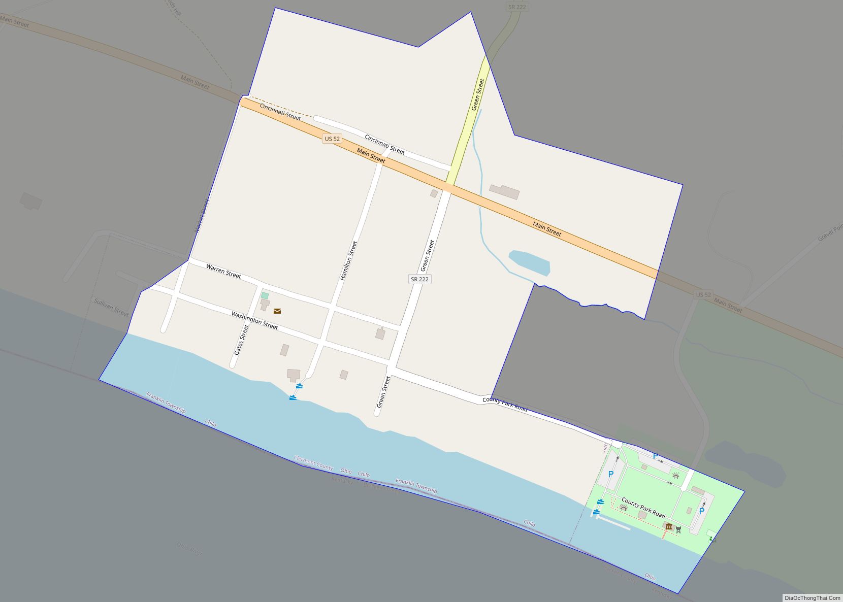
Online Interactive Map
Click on ![]() to view map in "full screen" mode.
to view map in "full screen" mode.
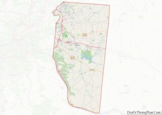
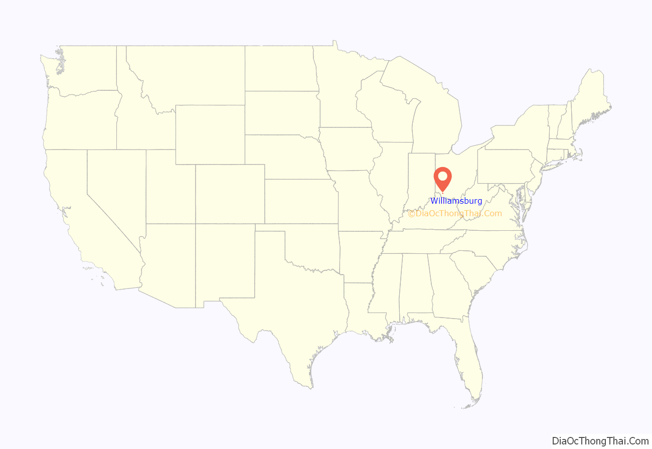
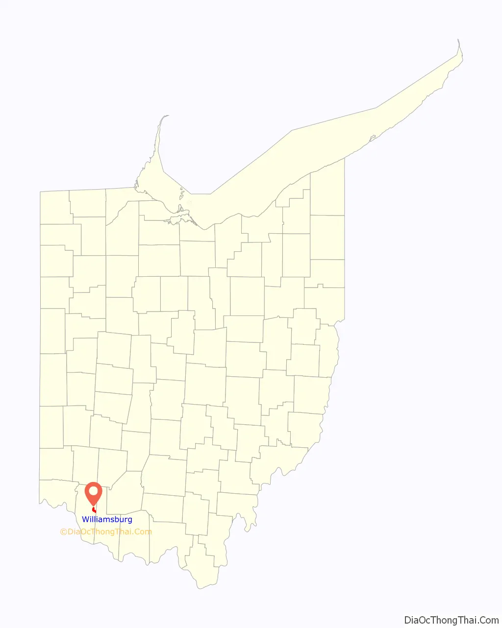
Williamsburg location map. Where is Williamsburg village?
History
Williamsburg was founded in 1796 by General William Lytle of the prominent Lytle family of Cincinnati. The village was named after the city of Williamsburg, Virginia. A post office called Williamsburgh was established in 1802, and the name was changed to Williamsburg in 1893.
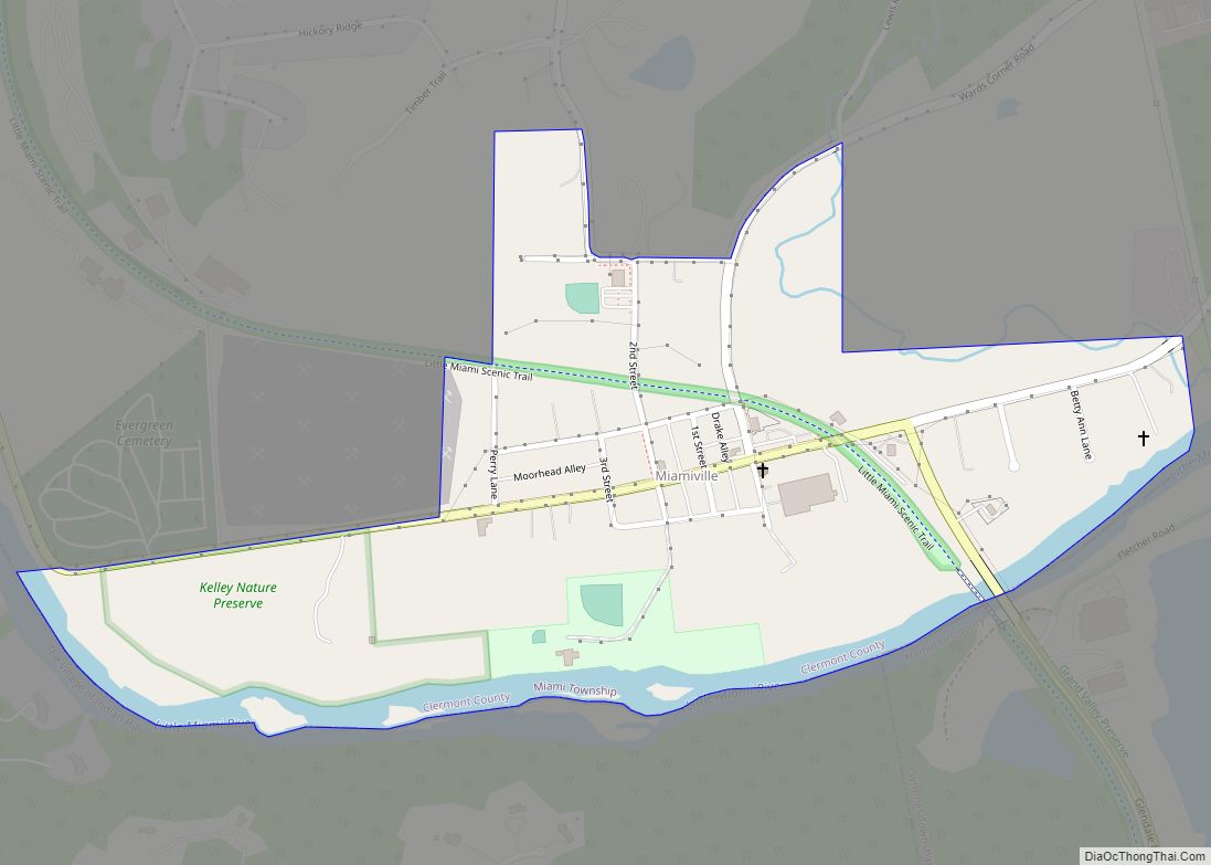
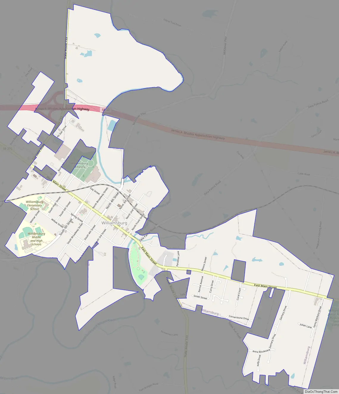
Williamsburg Road Map
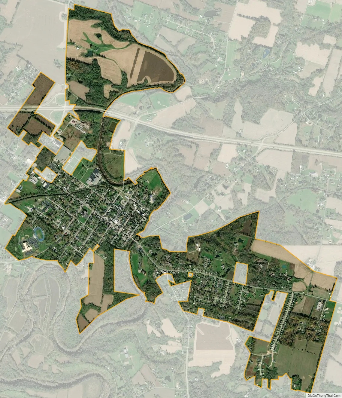
Williamsburg city Satellite Map
Geography
Williamsburg is located at 39°3′17″N 84°3′13″W / 39.05472°N 84.05361°W / 39.05472; -84.05361 (39.054788, -84.053576).
According to the United States Census Bureau, the village has a total area of 1.97 square miles (5.10 km), of which 1.95 square miles (5.05 km) is land and 0.02 square miles (0.05 km) is water.
See also
Map of Ohio State and its subdivision:- Adams
- Allen
- Ashland
- Ashtabula
- Athens
- Auglaize
- Belmont
- Brown
- Butler
- Carroll
- Champaign
- Clark
- Clermont
- Clinton
- Columbiana
- Coshocton
- Crawford
- Cuyahoga
- Darke
- Defiance
- Delaware
- Erie
- Fairfield
- Fayette
- Franklin
- Fulton
- Gallia
- Geauga
- Greene
- Guernsey
- Hamilton
- Hancock
- Hardin
- Harrison
- Henry
- Highland
- Hocking
- Holmes
- Huron
- Jackson
- Jefferson
- Knox
- Lake
- Lake Erie
- Lawrence
- Licking
- Logan
- Lorain
- Lucas
- Madison
- Mahoning
- Marion
- Medina
- Meigs
- Mercer
- Miami
- Monroe
- Montgomery
- Morgan
- Morrow
- Muskingum
- Noble
- Ottawa
- Paulding
- Perry
- Pickaway
- Pike
- Portage
- Preble
- Putnam
- Richland
- Ross
- Sandusky
- Scioto
- Seneca
- Shelby
- Stark
- Summit
- Trumbull
- Tuscarawas
- Union
- Van Wert
- Vinton
- Warren
- Washington
- Wayne
- Williams
- Wood
- Wyandot
- Alabama
- Alaska
- Arizona
- Arkansas
- California
- Colorado
- Connecticut
- Delaware
- District of Columbia
- Florida
- Georgia
- Hawaii
- Idaho
- Illinois
- Indiana
- Iowa
- Kansas
- Kentucky
- Louisiana
- Maine
- Maryland
- Massachusetts
- Michigan
- Minnesota
- Mississippi
- Missouri
- Montana
- Nebraska
- Nevada
- New Hampshire
- New Jersey
- New Mexico
- New York
- North Carolina
- North Dakota
- Ohio
- Oklahoma
- Oregon
- Pennsylvania
- Rhode Island
- South Carolina
- South Dakota
- Tennessee
- Texas
- Utah
- Vermont
- Virginia
- Washington
- West Virginia
- Wisconsin
- Wyoming