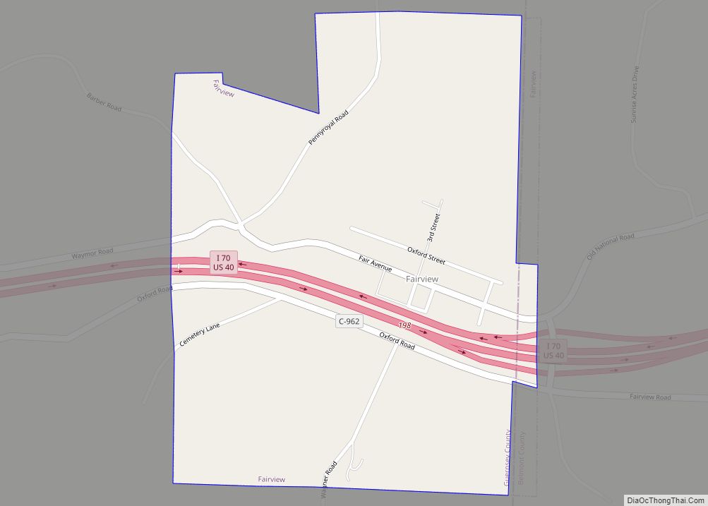
Wolfhurst is a census-designated place (CDP) in Belmont County, Ohio, United States. It is part of the Wheeling, West Virginia Metropolitan Statistical Area. The population was 1,239 at the 2010 census.
| Name: | Wolfhurst CDP |
|---|---|
| LSAD Code: | 57 |
| LSAD Description: | CDP (suffix) |
| State: | Ohio |
| County: | Belmont County |
| Elevation: | 690 ft (210 m) |
| Total Area: | 0.50 sq mi (1.30 km²) |
| Land Area: | 0.48 sq mi (1.25 km²) |
| Water Area: | 0.02 sq mi (0.04 km²) |
| Total Population: | 1,119 |
| Population Density: | 2,311.98/sq mi (893.09/km²) |
| Area code: | 740 |
| FIPS code: | 3986282 |
| GNISfeature ID: | 1048055 |
Online Interactive Map
Click on ![]() to view map in "full screen" mode.
to view map in "full screen" mode.
Wolfhurst location map. Where is Wolfhurst CDP?


Wolfhurst Road Map

Wolfhurst city Satellite Map

Geography
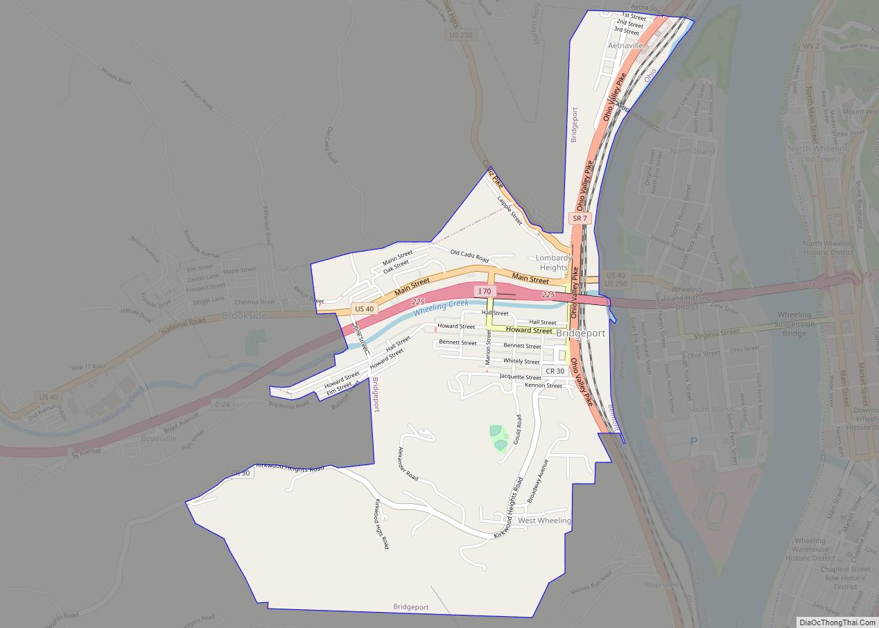
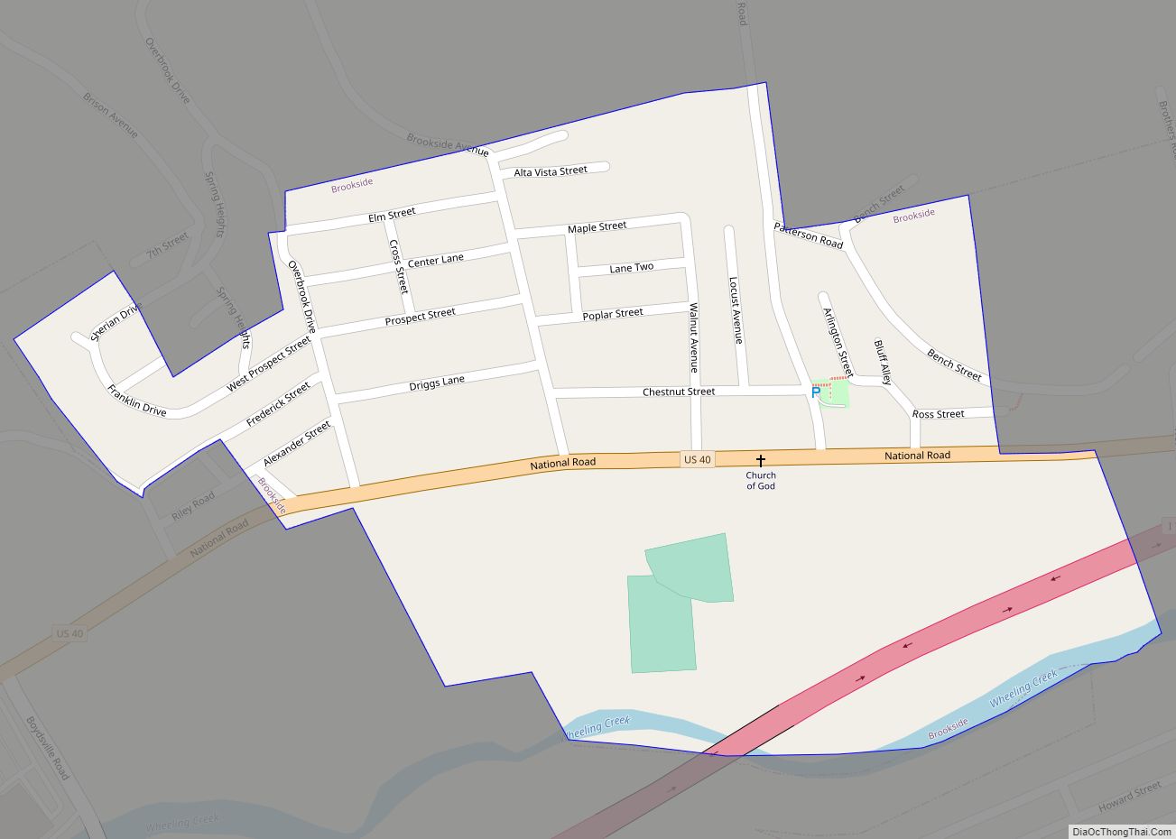
Wolfhurst is located in eastern Belmont County at 40°1′43″N 80°48′57″W / 40.02861°N 80.81583°W / 40.02861; -80.81583 (40.028736, -80.815811), in the valley of Wheeling Creek. It is bordered to the northwest by Lansing, and the village of Brookside is 1 mile (1.6 km) to the east. U.S. Route 40, the National Road, passes through the center of Wolfhurst, leading east 4 miles (6 km) to downtown Wheeling, West Virginia.
According to the United States Census Bureau, the Wolfhurst CDP has a total area of 0.50 square miles (1.30 km), of which 0.015 square miles (0.04 km), or 3.38%, is water.
See also
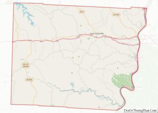
Map of Ohio State and its subdivision:- Adams
- Allen
- Ashland
- Ashtabula
- Athens
- Auglaize
- Belmont
- Brown
- Butler
- Carroll
- Champaign
- Clark
- Clermont
- Clinton
- Columbiana
- Coshocton
- Crawford
- Cuyahoga
- Darke
- Defiance
- Delaware
- Erie
- Fairfield
- Fayette
- Franklin
- Fulton
- Gallia
- Geauga
- Greene
- Guernsey
- Hamilton
- Hancock
- Hardin
- Harrison
- Henry
- Highland
- Hocking
- Holmes
- Huron
- Jackson
- Jefferson
- Knox
- Lake
- Lake Erie
- Lawrence
- Licking
- Logan
- Lorain
- Lucas
- Madison
- Mahoning
- Marion
- Medina
- Meigs
- Mercer
- Miami
- Monroe
- Montgomery
- Morgan
- Morrow
- Muskingum
- Noble
- Ottawa
- Paulding
- Perry
- Pickaway
- Pike
- Portage
- Preble
- Putnam
- Richland
- Ross
- Sandusky
- Scioto
- Seneca
- Shelby
- Stark
- Summit
- Trumbull
- Tuscarawas
- Union
- Van Wert
- Vinton
- Warren
- Washington
- Wayne
- Williams
- Wood
- Wyandot
- Alabama
- Alaska
- Arizona
- Arkansas
- California
- Colorado
- Connecticut
- Delaware
- District of Columbia
- Florida
- Georgia
- Hawaii
- Idaho
- Illinois
- Indiana
- Iowa
- Kansas
- Kentucky
- Louisiana
- Maine
- Maryland
- Massachusetts
- Michigan
- Minnesota
- Mississippi
- Missouri
- Montana
- Nebraska
- Nevada
- New Hampshire
- New Jersey
- New Mexico
- New York
- North Carolina
- North Dakota
- Ohio
- Oklahoma
- Oregon
- Pennsylvania
- Rhode Island
- South Carolina
- South Dakota
- Tennessee
- Texas
- Utah
- Vermont
- Virginia
- Washington
- West Virginia
- Wisconsin
- Wyoming