Buffalo is a town in, and the county seat of, Harding County, South Dakota, United States. The population was 346 at the 2020 census.
| Name: | Buffalo town |
|---|---|
| LSAD Code: | 43 |
| LSAD Description: | town (suffix) |
| State: | South Dakota |
| County: | Harding County |
| Incorporated: | 1949 |
| Elevation: | 2,881 ft (878 m) |
| Total Area: | 0.55 sq mi (1.43 km²) |
| Land Area: | 0.55 sq mi (1.43 km²) |
| Water Area: | 0.00 sq mi (0.00 km²) |
| Total Population: | 346 |
| Population Density: | 624.55/sq mi (241.29/km²) |
| ZIP code: | 57720 |
| Area code: | 605 |
| FIPS code: | 4608140 |
| GNISfeature ID: | 1254110 |
| Website: | townofbuffalo.municipalimpact.com |
Online Interactive Map
Click on ![]() to view map in "full screen" mode.
to view map in "full screen" mode.
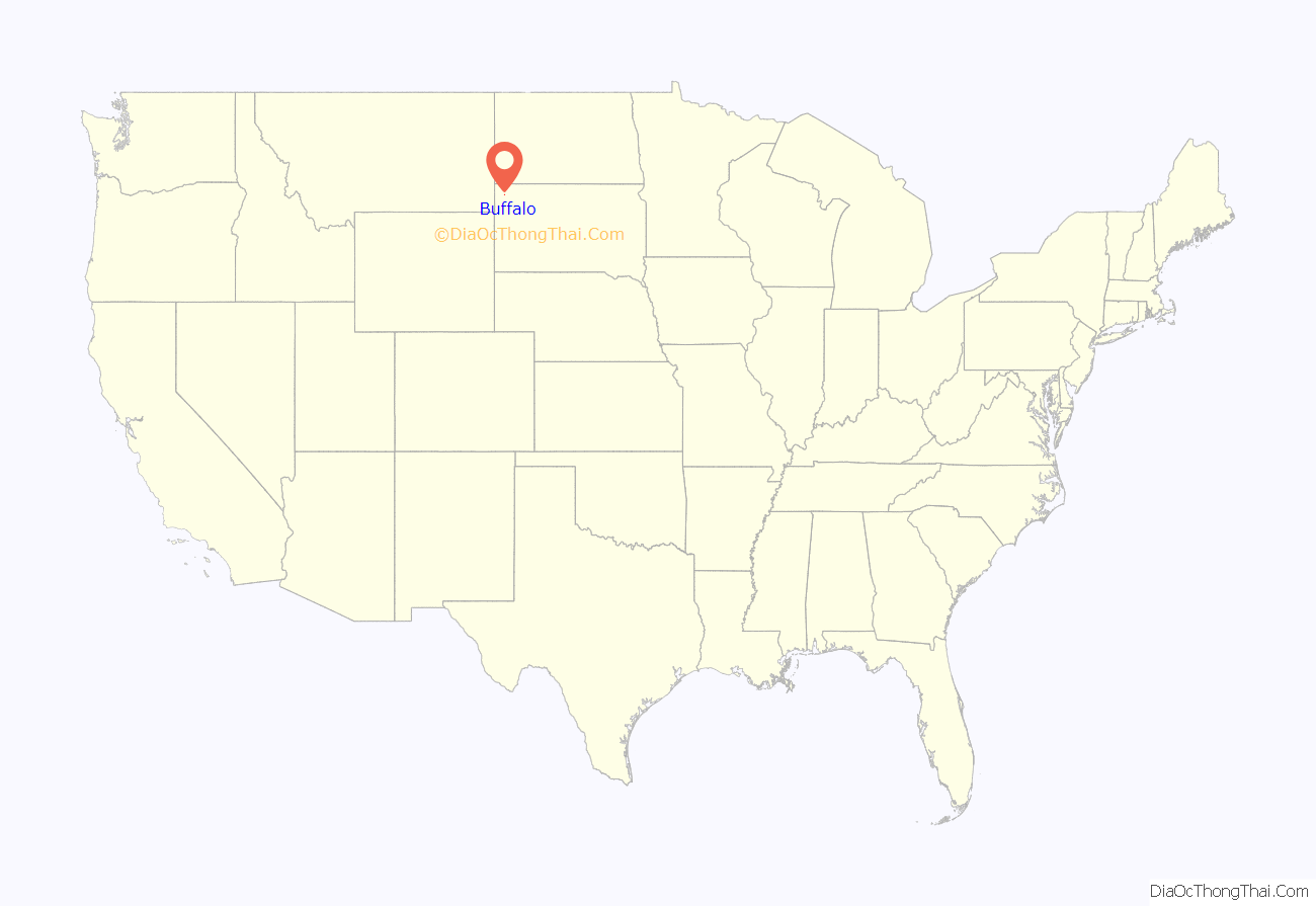
Buffalo location map. Where is Buffalo town?
History
Buffalo was established in 1909. It was named for the large herds of bison (mistakenly called buffalo) that once roamed the area. It is about fifty miles west of Bison, South Dakota.
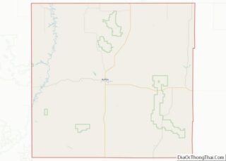
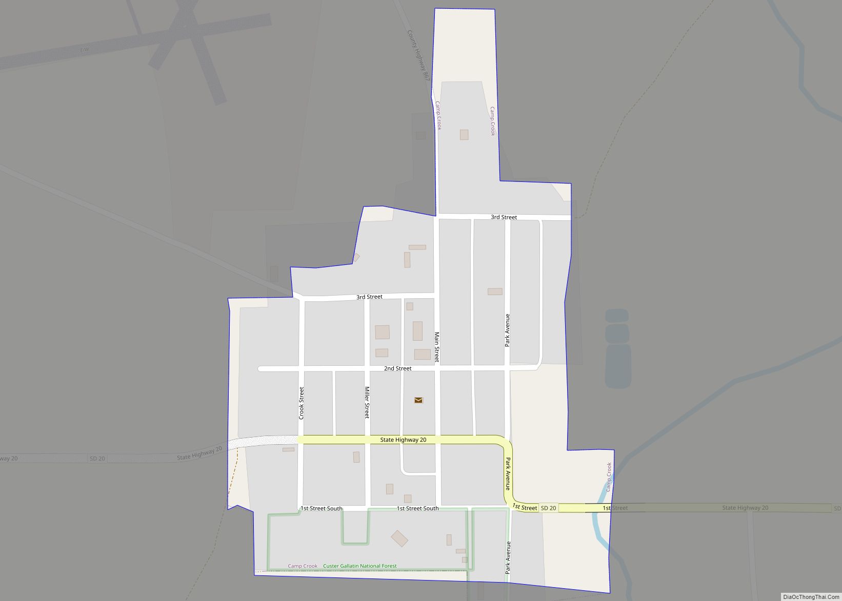
Buffalo Road Map
Buffalo city Satellite Map
Geography
Buffalo, South Dakota, is located at 45°35′5″N 103°32′42″W / 45.58472°N 103.54500°W / 45.58472; -103.54500 (45.584845, -103.545001). According to the United States Census Bureau, the town has a total area of 0.55 square miles (1.42 km), all land.
Climate
Buffalo has a cold semi-arid climate (Köppen BSk). Like all of the High Plains, this climate features summers with cool to pleasant mornings and typically very warm to hot afternoons, alongside winters that average freezing but are extremely variable due to the conflict between hot Chinook winds and cold Arctic air. Annual precipitation is quite low at around 14.5 inches or 370 millimetres and concentrated in the spring and summer months from April to August. Buffalo lies within USDA hardiness zone 4a, meaning temperatures can drop to as low as −30 to −25 °F (−34.4 to −31.7 °C).
See also
Map of South Dakota State and its subdivision:- Aurora
- Beadle
- Bennett
- Bon Homme
- Brookings
- Brown
- Brule
- Buffalo
- Butte
- Campbell
- Charles Mix
- Clark
- Clay
- Codington
- Corson
- Custer
- Davison
- Day
- Deuel
- Dewey
- Douglas
- Edmunds
- Fall River
- Faulk
- Grant
- Gregory
- Haakon
- Hamlin
- Hand
- Hanson
- Harding
- Hughes
- Hutchinson
- Hyde
- Jackson
- Jerauld
- Jones
- Kingsbury
- Lake
- Lawrence
- Lincoln
- Lyman
- Marshall
- McCook
- McPherson
- Meade
- Mellette
- Miner
- Minnehaha
- Moody
- Pennington
- Perkins
- Potter
- Roberts
- Sanborn
- Shannon
- Spink
- Stanley
- Sully
- Todd
- Tripp
- Turner
- Union
- Walworth
- Yankton
- Ziebach
- Alabama
- Alaska
- Arizona
- Arkansas
- California
- Colorado
- Connecticut
- Delaware
- District of Columbia
- Florida
- Georgia
- Hawaii
- Idaho
- Illinois
- Indiana
- Iowa
- Kansas
- Kentucky
- Louisiana
- Maine
- Maryland
- Massachusetts
- Michigan
- Minnesota
- Mississippi
- Missouri
- Montana
- Nebraska
- Nevada
- New Hampshire
- New Jersey
- New Mexico
- New York
- North Carolina
- North Dakota
- Ohio
- Oklahoma
- Oregon
- Pennsylvania
- Rhode Island
- South Carolina
- South Dakota
- Tennessee
- Texas
- Utah
- Vermont
- Virginia
- Washington
- West Virginia
- Wisconsin
- Wyoming


