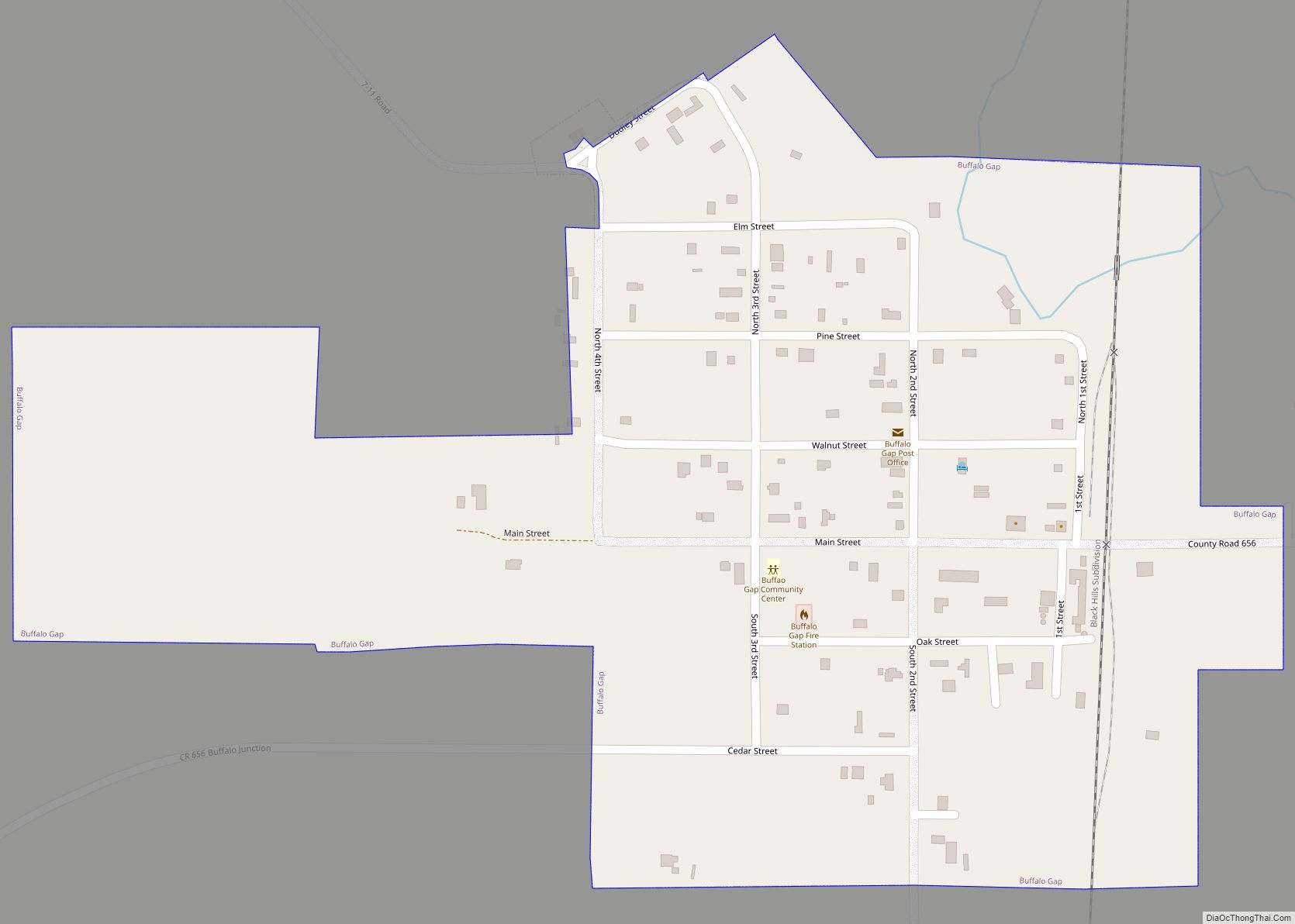
Buffalo Gap (Lakota: pté tȟathíyopa otȟúŋwahe; “buffalo gap village”) is a town in Custer County, South Dakota, United States. The population was 131 at the 2020 census.
| Name: | Buffalo Gap town |
|---|---|
| LSAD Code: | 43 |
| LSAD Description: | town (suffix) |
| State: | South Dakota |
| County: | Custer County |
| Elevation: | 3,261 ft (994 m) |
| Total Area: | 0.31 sq mi (0.79 km²) |
| Land Area: | 0.31 sq mi (0.79 km²) |
| Water Area: | 0.00 sq mi (0.00 km²) |
| Total Population: | 131 |
| Population Density: | 428.10/sq mi (165.50/km²) |
| Area code: | 605 |
| FIPS code: | 4608340 |
| GNISfeature ID: | 1254122 |
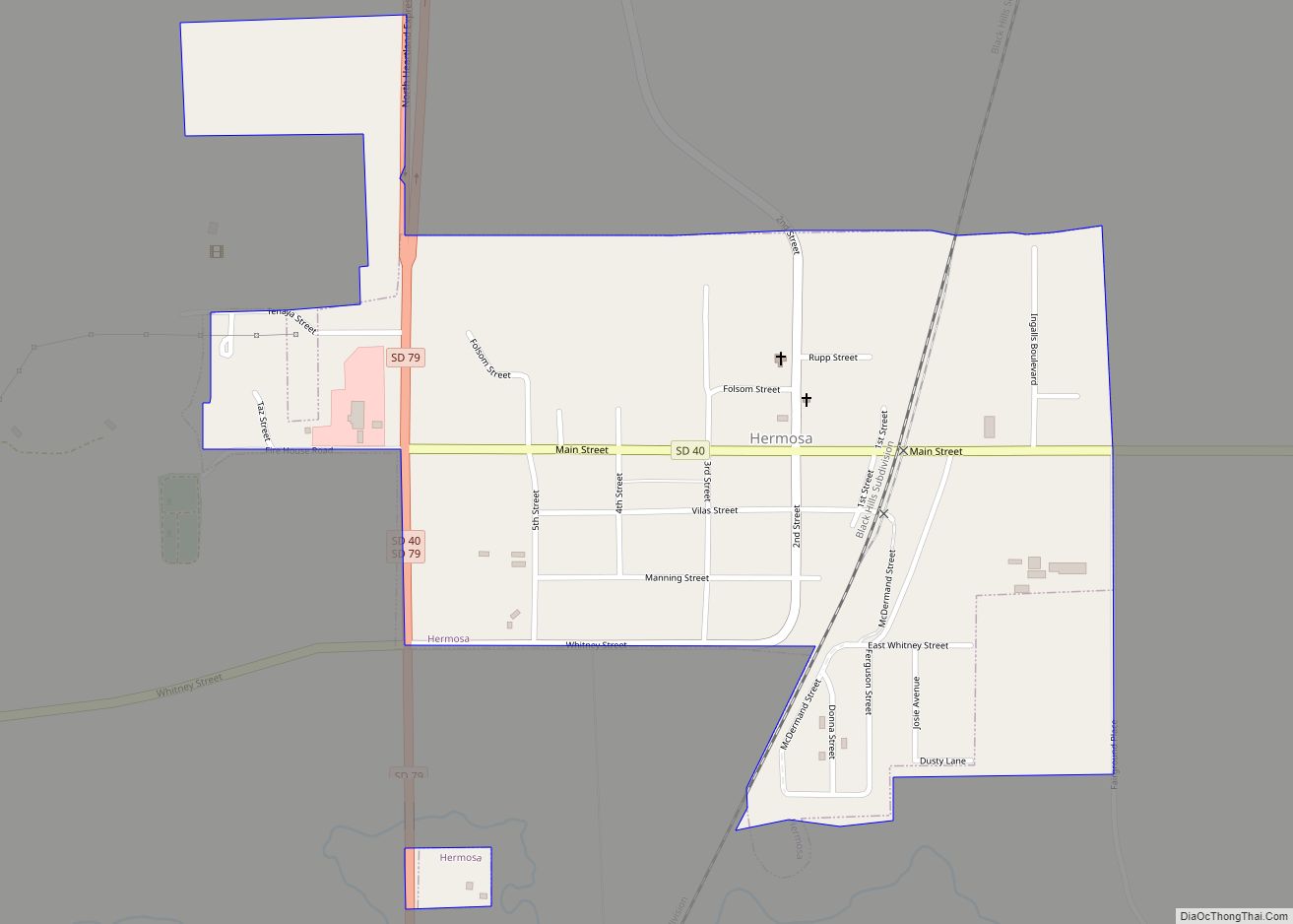
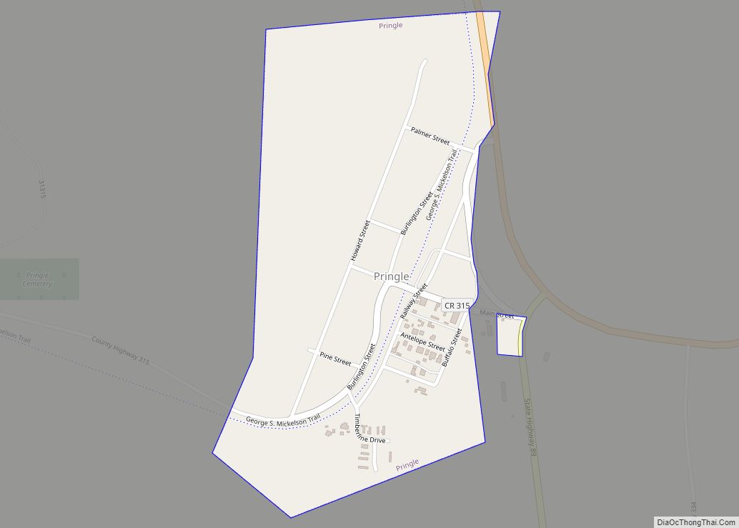
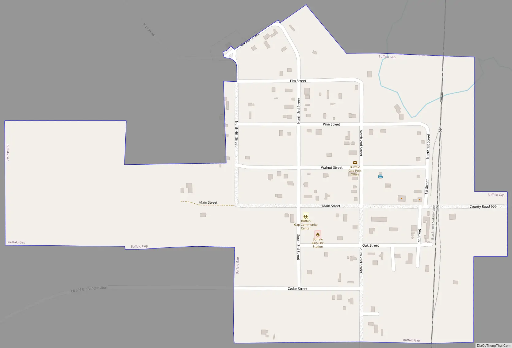
Online Interactive Map
Click on ![]() to view map in "full screen" mode.
to view map in "full screen" mode.
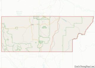
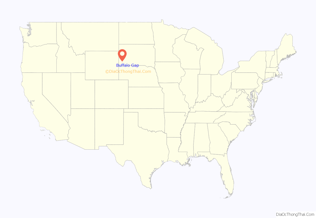
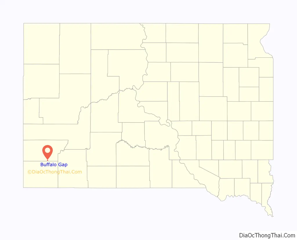
Buffalo Gap location map. Where is Buffalo Gap town?
History
A very old western South Dakota town, Buffalo Gap was founded in 1877. By 1885, it was a railroad spur for the Fremont, Elkhorn and Missouri Valley Railroad line, with more than 1,200 residents. Today, the town has about 180 residents.
In its early years it was one of the largest towns in South Dakota, but it received the same fate as many other towns of that era. A resident’s cow kicked over a lantern and it burned the town to the ground, as happened with the Great Chicago Fire and many others. The town never fully recovered and was never rebuilt to its former grandeur.
The name comes from a gap to the west of town that sheltered buffalo herds in earlier times. Although Buffalo Gap burned down several times, there are a number of historic buildings still standing. Located on State Hwy 79 between Hermosa and Hot Springs, Buffalo Gap intersects with County Road 656, an “off the beaten path” that travelers can take into the Buffalo Gap National Grasslands, Badlands National Park and the Pine Ridge Indian Reservation
Part of the action of the French book La Brèche aux buffles takes place in Buffalo Gap.
Buffalo Gap Road Map
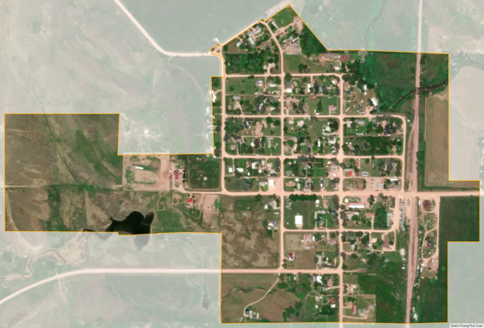
Buffalo Gap city Satellite Map
Geography
Buffalo Gap is located at 43°29′33″N 103°18′51″W / 43.49250°N 103.31417°W / 43.49250; -103.31417 (43.492562, -103.314267).
According to the United States Census Bureau, the town has a total area of 0.31 square miles (0.80 km), all land.
Buffalo Gap has been assigned the ZIP code 57722 and the FIPS place code 08460.
See also
Map of South Dakota State and its subdivision:- Aurora
- Beadle
- Bennett
- Bon Homme
- Brookings
- Brown
- Brule
- Buffalo
- Butte
- Campbell
- Charles Mix
- Clark
- Clay
- Codington
- Corson
- Custer
- Davison
- Day
- Deuel
- Dewey
- Douglas
- Edmunds
- Fall River
- Faulk
- Grant
- Gregory
- Haakon
- Hamlin
- Hand
- Hanson
- Harding
- Hughes
- Hutchinson
- Hyde
- Jackson
- Jerauld
- Jones
- Kingsbury
- Lake
- Lawrence
- Lincoln
- Lyman
- Marshall
- McCook
- McPherson
- Meade
- Mellette
- Miner
- Minnehaha
- Moody
- Pennington
- Perkins
- Potter
- Roberts
- Sanborn
- Shannon
- Spink
- Stanley
- Sully
- Todd
- Tripp
- Turner
- Union
- Walworth
- Yankton
- Ziebach
- Alabama
- Alaska
- Arizona
- Arkansas
- California
- Colorado
- Connecticut
- Delaware
- District of Columbia
- Florida
- Georgia
- Hawaii
- Idaho
- Illinois
- Indiana
- Iowa
- Kansas
- Kentucky
- Louisiana
- Maine
- Maryland
- Massachusetts
- Michigan
- Minnesota
- Mississippi
- Missouri
- Montana
- Nebraska
- Nevada
- New Hampshire
- New Jersey
- New Mexico
- New York
- North Carolina
- North Dakota
- Ohio
- Oklahoma
- Oregon
- Pennsylvania
- Rhode Island
- South Carolina
- South Dakota
- Tennessee
- Texas
- Utah
- Vermont
- Virginia
- Washington
- West Virginia
- Wisconsin
- Wyoming