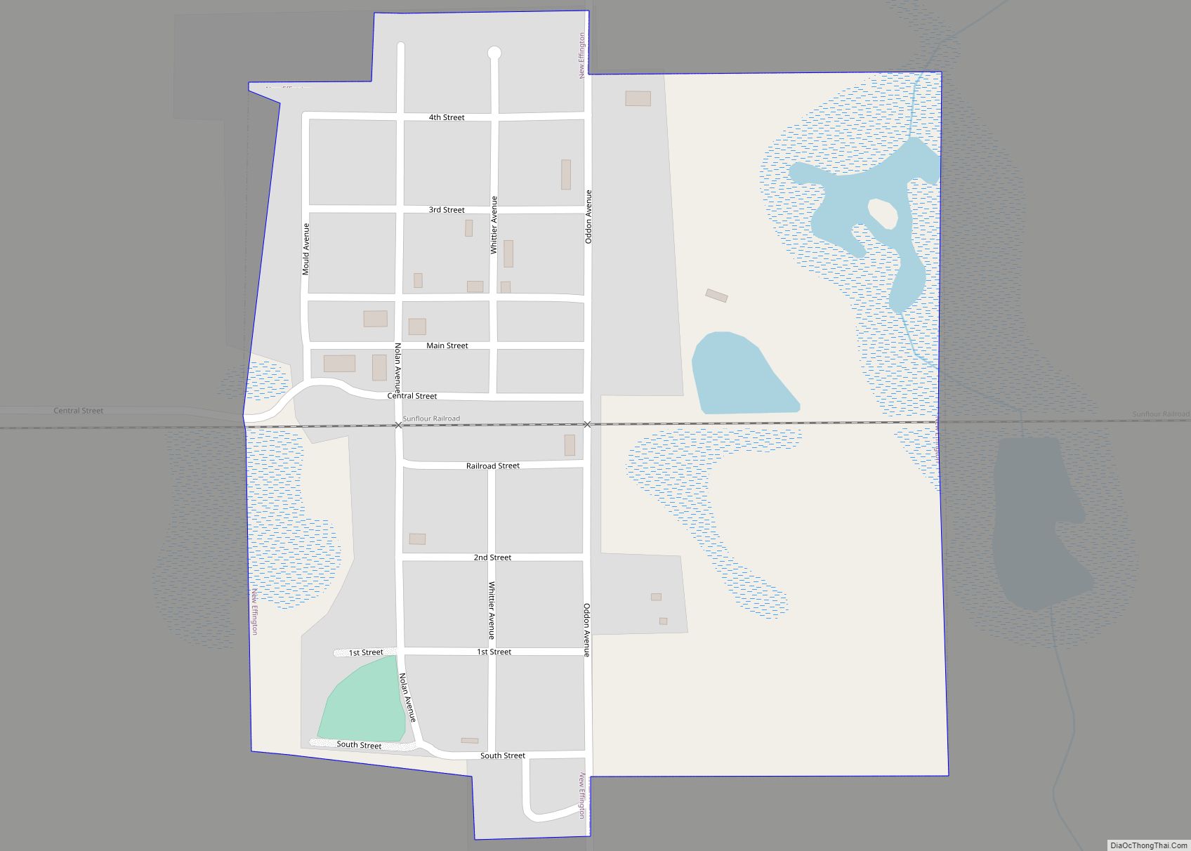
Claire City is a town in Roberts County, South Dakota, United States. The population was 82 at the 2020 census.
| Name: | Claire City town |
|---|---|
| LSAD Code: | 43 |
| LSAD Description: | town (suffix) |
| State: | South Dakota |
| County: | Roberts County |
| Incorporated: | 1913 |
| Elevation: | 1,201 ft (366 m) |
| Total Area: | 0.18 sq mi (0.47 km²) |
| Land Area: | 0.18 sq mi (0.47 km²) |
| Water Area: | 0.00 sq mi (0.00 km²) |
| Total Population: | 82 |
| Population Density: | 448.09/sq mi (173.04/km²) |
| ZIP code: | 57224 |
| Area code: | 605 |
| FIPS code: | 4612020 |
| GNISfeature ID: | 1254369 |
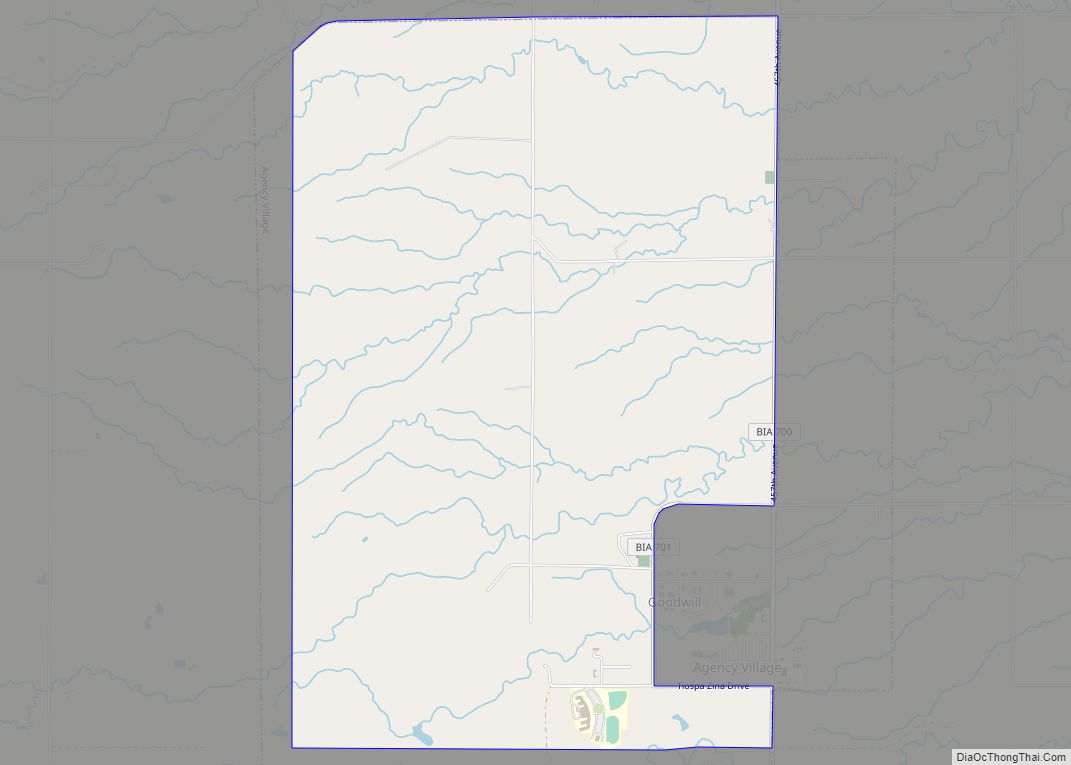
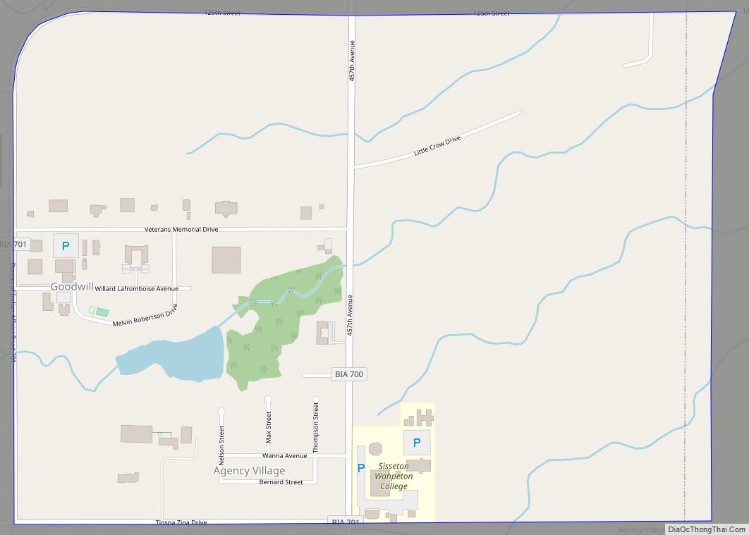
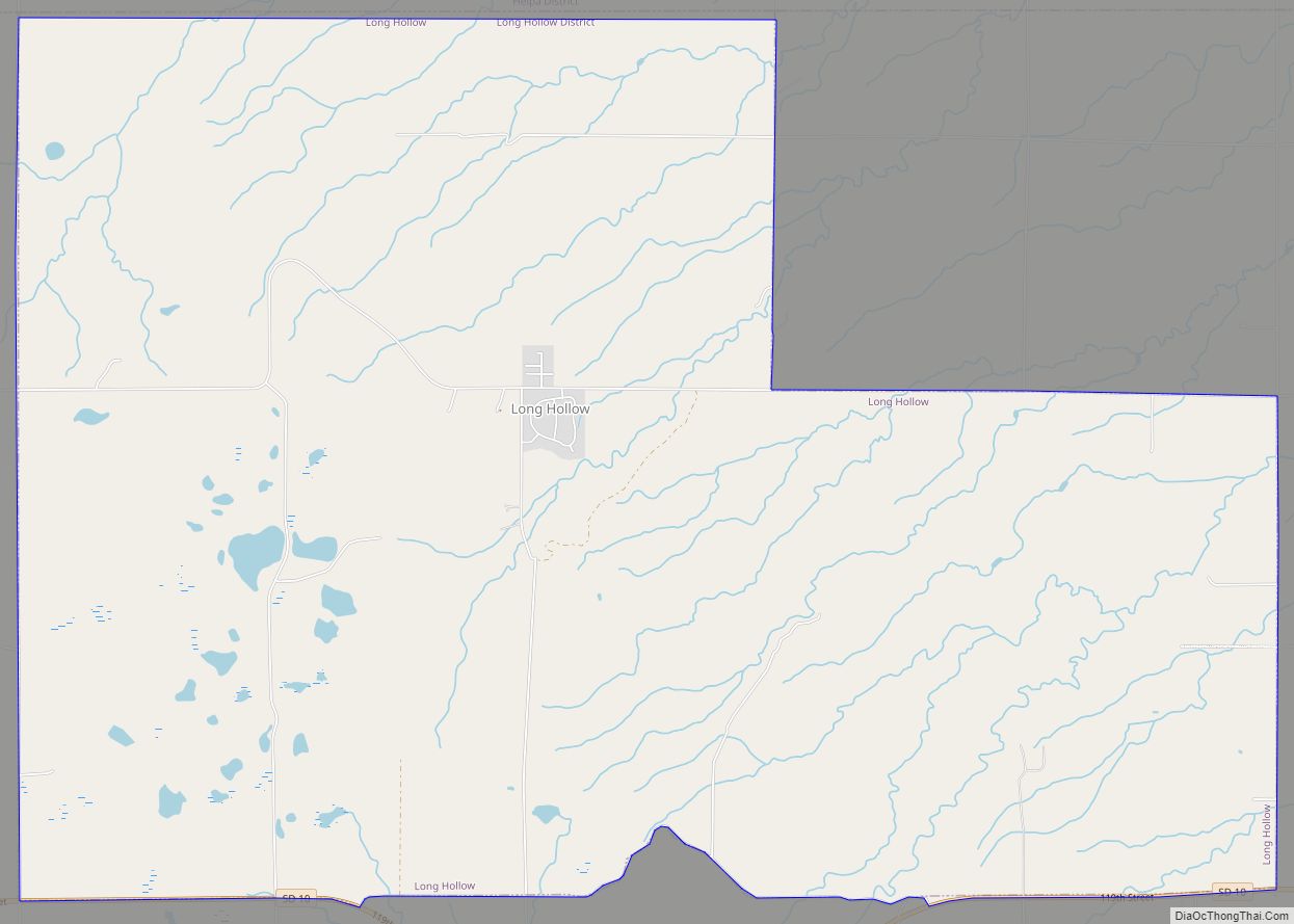
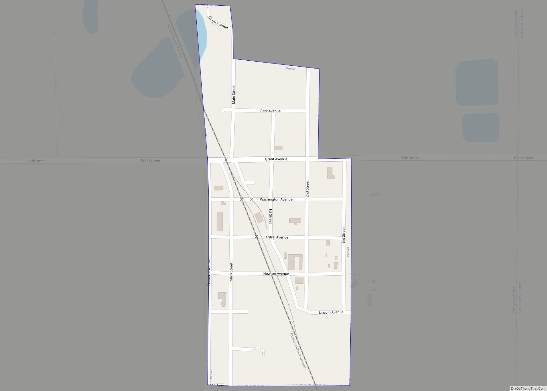
Online Interactive Map
Click on ![]() to view map in "full screen" mode.
to view map in "full screen" mode.
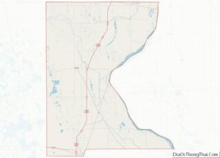
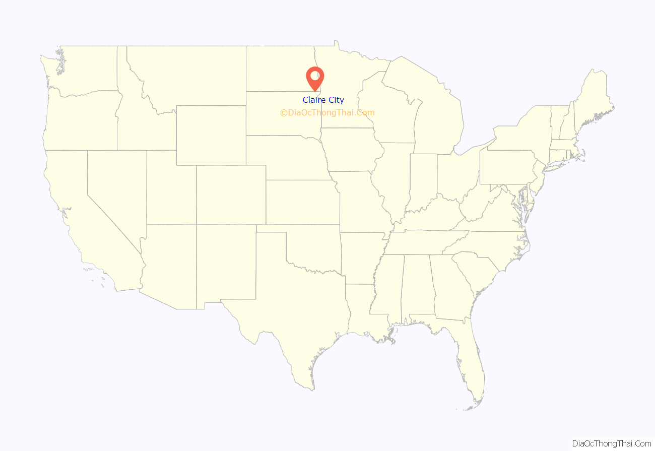
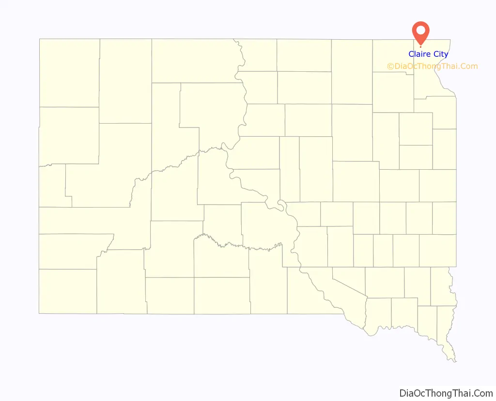
Claire City location map. Where is Claire City town?
History
Claire City was founded in 1913 and named by A. E. Feeney, one of the four donors of the town site, for his wife, Claire. Mrs. Feeney was still living on land adjoining the town in 1941. The post office in Claire City was established November 21, 1913. The first postmaster was Ben Sandsmark; the post office moved into the Herb Bladow building in 1968.
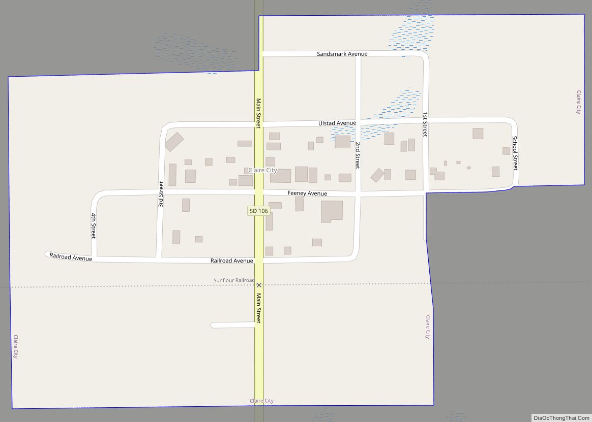
Claire City Road Map
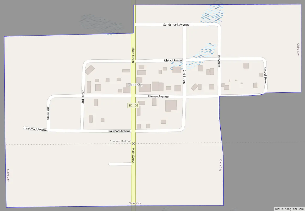
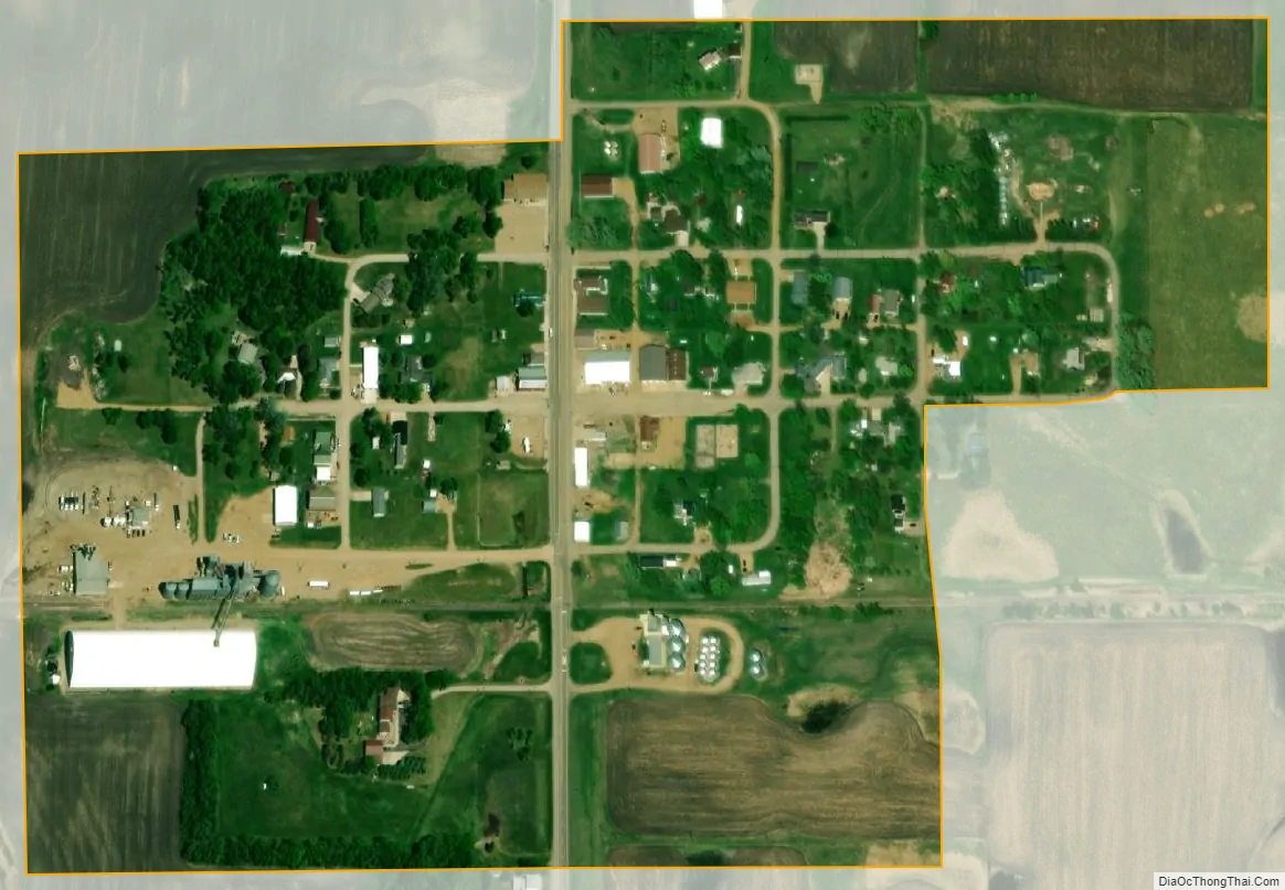
Claire City city Satellite Map
Geography
Claire City is located at 45°51′27″N 97°6′10″W / 45.85750°N 97.10278°W / 45.85750; -97.10278 (45.857403, -97.102739).
According to the United States Census Bureau, the town has a total area of 0.18 square miles (0.47 km), all land.
Claire City has been assigned the ZIP code 57224 and the FIPS place code 12020.
See also
Map of South Dakota State and its subdivision:- Aurora
- Beadle
- Bennett
- Bon Homme
- Brookings
- Brown
- Brule
- Buffalo
- Butte
- Campbell
- Charles Mix
- Clark
- Clay
- Codington
- Corson
- Custer
- Davison
- Day
- Deuel
- Dewey
- Douglas
- Edmunds
- Fall River
- Faulk
- Grant
- Gregory
- Haakon
- Hamlin
- Hand
- Hanson
- Harding
- Hughes
- Hutchinson
- Hyde
- Jackson
- Jerauld
- Jones
- Kingsbury
- Lake
- Lawrence
- Lincoln
- Lyman
- Marshall
- McCook
- McPherson
- Meade
- Mellette
- Miner
- Minnehaha
- Moody
- Pennington
- Perkins
- Potter
- Roberts
- Sanborn
- Shannon
- Spink
- Stanley
- Sully
- Todd
- Tripp
- Turner
- Union
- Walworth
- Yankton
- Ziebach
- Alabama
- Alaska
- Arizona
- Arkansas
- California
- Colorado
- Connecticut
- Delaware
- District of Columbia
- Florida
- Georgia
- Hawaii
- Idaho
- Illinois
- Indiana
- Iowa
- Kansas
- Kentucky
- Louisiana
- Maine
- Maryland
- Massachusetts
- Michigan
- Minnesota
- Mississippi
- Missouri
- Montana
- Nebraska
- Nevada
- New Hampshire
- New Jersey
- New Mexico
- New York
- North Carolina
- North Dakota
- Ohio
- Oklahoma
- Oregon
- Pennsylvania
- Rhode Island
- South Carolina
- South Dakota
- Tennessee
- Texas
- Utah
- Vermont
- Virginia
- Washington
- West Virginia
- Wisconsin
- Wyoming