Cresbard is a town in Faulk County, South Dakota, United States. The population was 96 at the 2020 census.
| Name: | Cresbard town |
|---|---|
| LSAD Code: | 43 |
| LSAD Description: | town (suffix) |
| State: | South Dakota |
| County: | Faulk County |
| Incorporated: | 1909 |
| Elevation: | 1,450 ft (442 m) |
| Total Area: | 0.42 sq mi (1.08 km²) |
| Land Area: | 0.41 sq mi (1.07 km²) |
| Water Area: | 0.00 sq mi (0.01 km²) |
| Total Population: | 96 |
| Population Density: | 231.33/sq mi (89.38/km²) |
| ZIP code: | 57435 |
| Area code: | 605 |
| FIPS code: | 4614580 |
| GNISfeature ID: | 1254541 |
| Website: | www.cresbardsd.com |
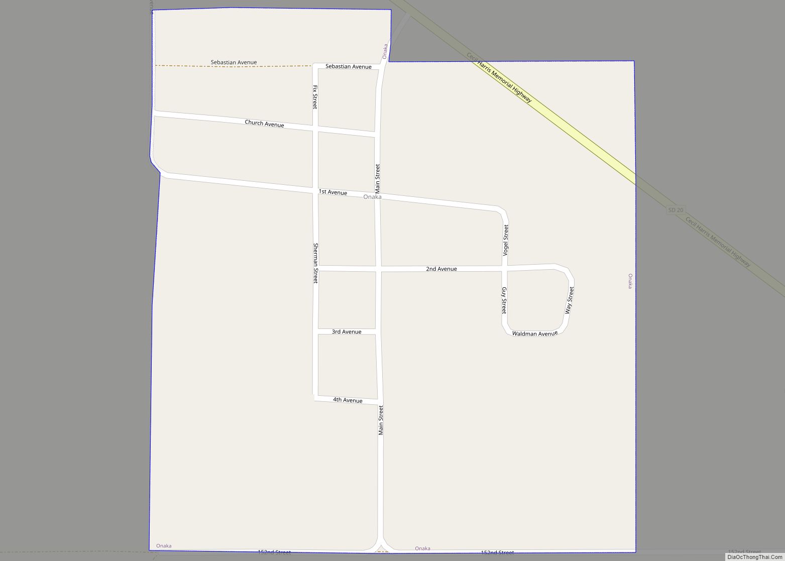
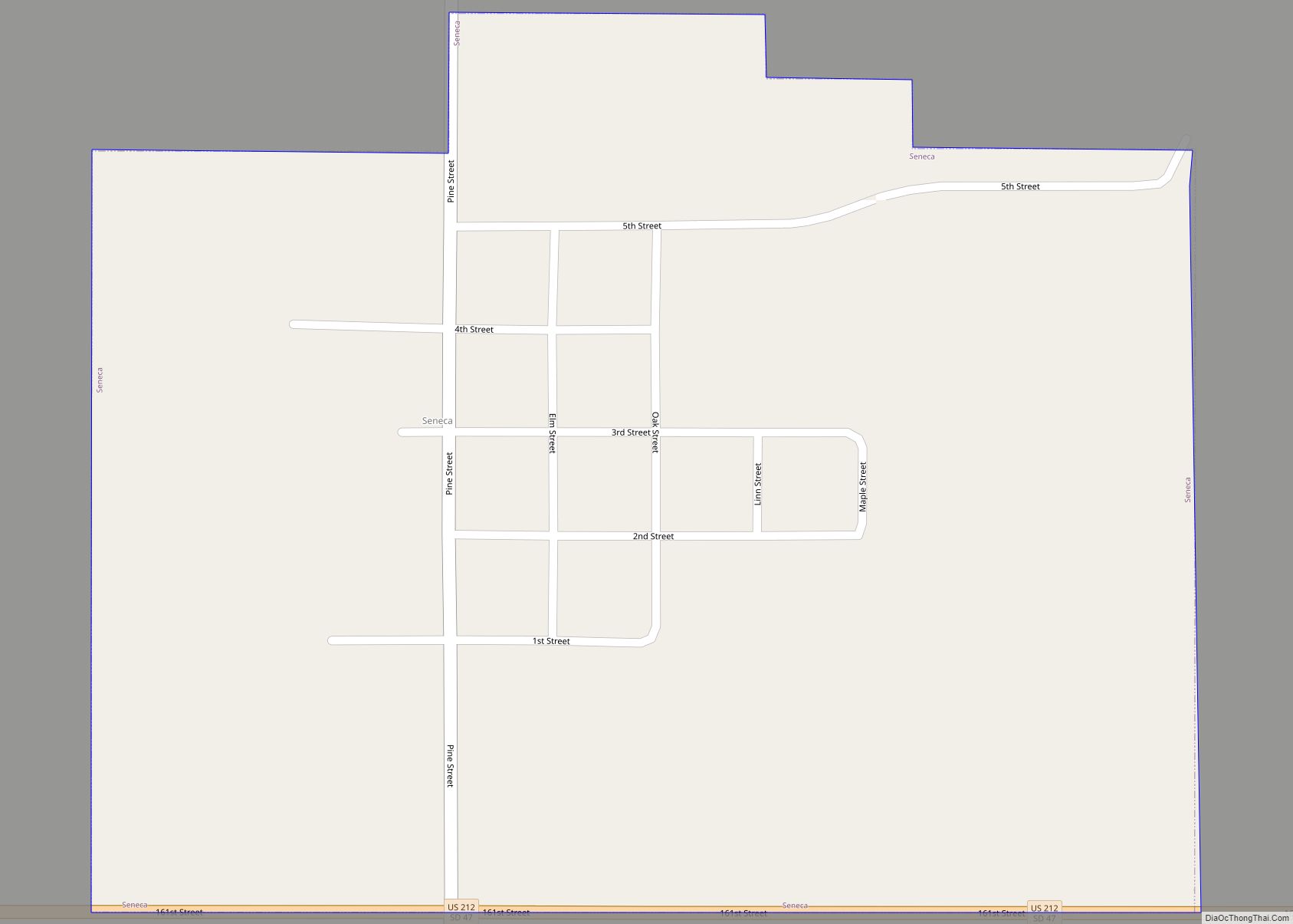
Online Interactive Map
Click on ![]() to view map in "full screen" mode.
to view map in "full screen" mode.
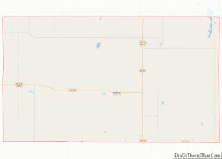
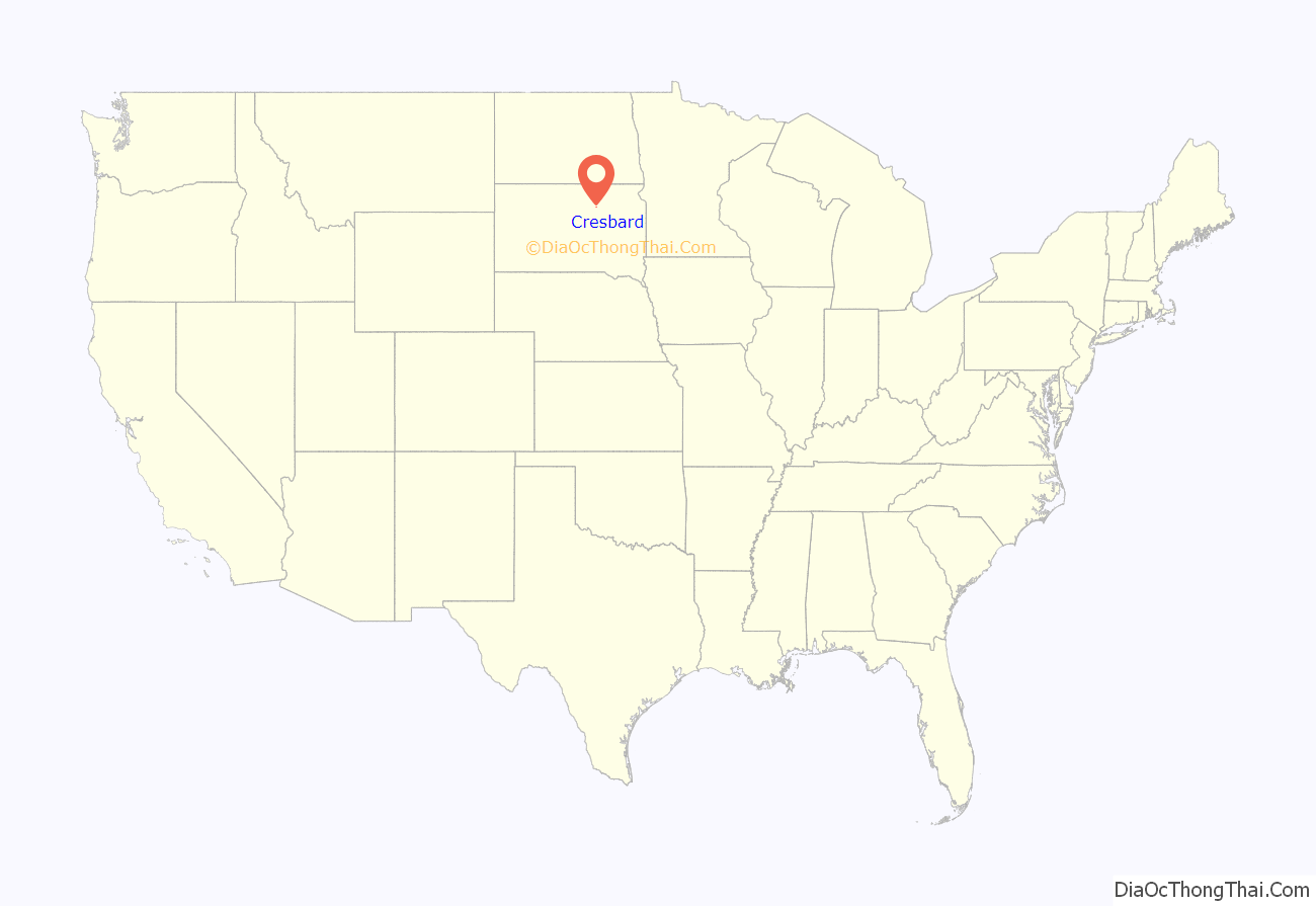
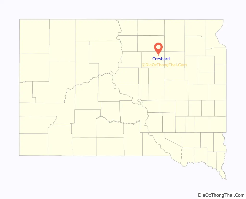
Cresbard location map. Where is Cresbard town?
History
Cresbard celebrated its centennial in 2006. The town was founded in 1906 when the Minneapolis & St Louis Railway completed a line from Watertown, South Dakota, to LeBeau, South Dakota on the east bank of the Missouri River. It was incorporated in 1909. The name is an amalgam of Cressey and Bard, the names of two local families. In its early years, it served as a grain and livestock center for the northern tier of Faulk County, South Dakota. Cresbard became a well known consolidated school district by the 1920s serving at least seven smaller communities in the surrounding area. The school’s marching and concert band won national recognition in the 1950s and boys basketball and cross country teams won state titles.
The railway was abandoned by 1940 and State Highway 20 served as the town’s main link to the outside world. Following a nationwide population upswing after World War II the agriculture-based economy of the area began to show a decreasing population. The population of the school fell from a high of 350 in the 60s and 70s to less than 100 students by the late 1990s.
Because of dwindling high school population (16 at last count [1]) citizens of Cresbard spent several years exploring their options. In 2004 the town’s total population fell to 121 and the decision was made to redistrict the schools. The high school [2] closed and was offered for sale on the internet the following year at a price calculated to attract outside business. It was purchased to serve as the corporate headquarters of Keenspot Entertainment by Chris Crosby and Chris’s mother Terri, Keenspot’s co-owner. Keenspot Entertainment is a growing publisher of more than 50 online comics and related materials including a number of Crosby’s own projects such as the pseudo-autobiographical Superosity which briefly was set in a fictionalized Cresbard during the story arcs “Back in the Green”[3] and “South Dakotan Christmas”[4] in which the high school was parodied as an abandoned mental hospital. In keeping with his wacky, satirical style, Crosby’s comic characters fled from South Dakota following a fictionalized version of the Blizzard of November 28–29, 2005 [5].
As of 2007, the primary non-agricultural commercial venture in the town of Cresbard and surrounding areas is services related to the recreational hunting of pheasant, ducks, geese, deer, and buffalo [6].
Cresbard is also the home of an hotel and restaurant, museum, auto shop, oil supply company, insurance agency, a branch of Dacotah Bank, Senior Citizens center, two churches (one Lutheran Church—Missouri Synod and one Methodist), and a local fire and rescue. It is surrounded by farmland.
Among the businesses that closed due to the decrease in population were a grocery store, drug store, hardware store, small movie theater, laundromat, and farm implement dealership. The town no longer operates the grain elevator or lumberyard [7]. The services these businesses represent can now be found in neighboring towns, such as Aberdeen, South Dakota which is 40 miles away.
Ruth Wood, a retired school teacher and farm wife characterizes Cresbard as “a place where we cannot lie about our age, our background or our school pranks. There will always be someone around who remembers all of the facts (or will supply them anyway). There is no need to put on airs or pretense.” [8]
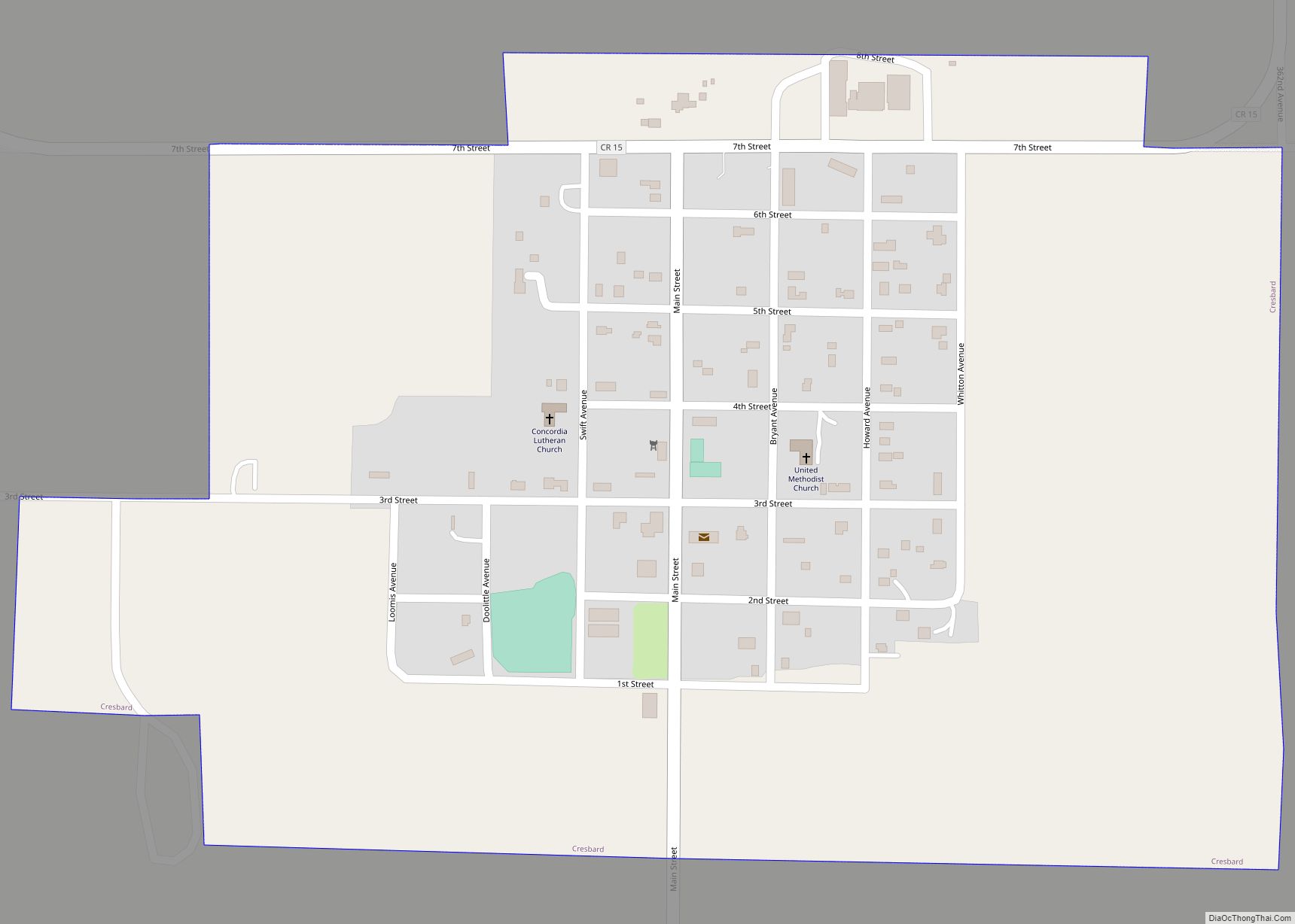
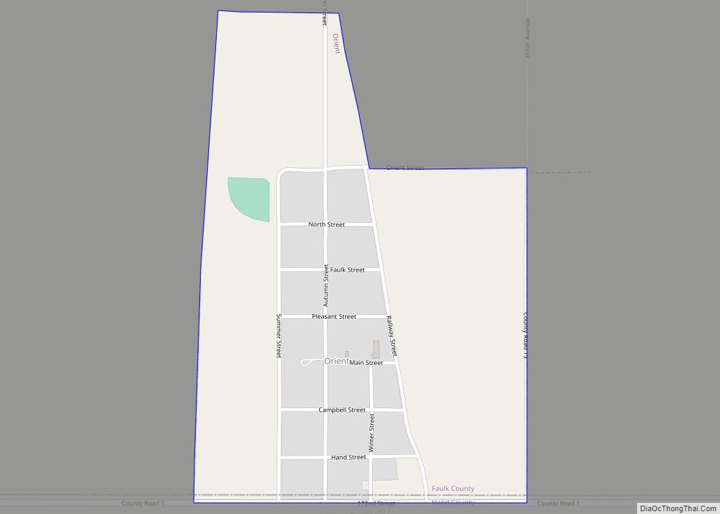
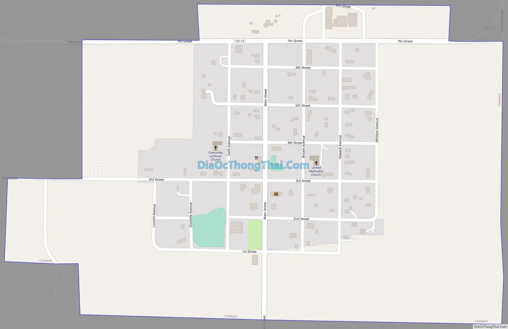
Cresbard Road Map
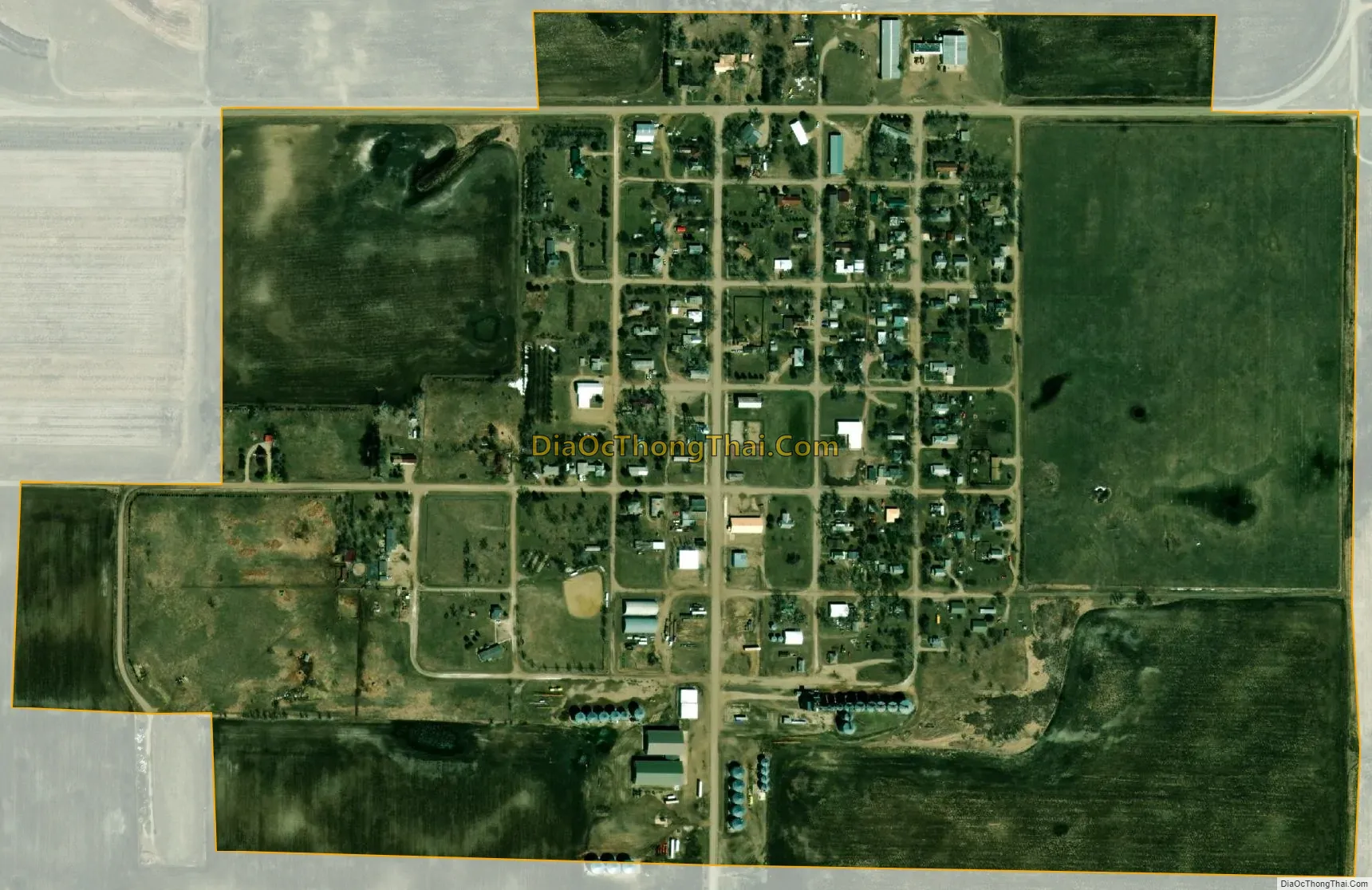
Cresbard city Satellite Map
Geography
Cresbard is located at 45°10′14″N 98°56′53″W / 45.17056°N 98.94806°W / 45.17056; -98.94806 (45.170570, -98.947921).
According to the United States Census Bureau, the town has a total area of 0.42 square miles (1.09 km), all land.
Cresbard has been assigned the ZIP code 57435 and the FIPS place code 14580.
See also
Map of South Dakota State and its subdivision:- Aurora
- Beadle
- Bennett
- Bon Homme
- Brookings
- Brown
- Brule
- Buffalo
- Butte
- Campbell
- Charles Mix
- Clark
- Clay
- Codington
- Corson
- Custer
- Davison
- Day
- Deuel
- Dewey
- Douglas
- Edmunds
- Fall River
- Faulk
- Grant
- Gregory
- Haakon
- Hamlin
- Hand
- Hanson
- Harding
- Hughes
- Hutchinson
- Hyde
- Jackson
- Jerauld
- Jones
- Kingsbury
- Lake
- Lawrence
- Lincoln
- Lyman
- Marshall
- McCook
- McPherson
- Meade
- Mellette
- Miner
- Minnehaha
- Moody
- Pennington
- Perkins
- Potter
- Roberts
- Sanborn
- Shannon
- Spink
- Stanley
- Sully
- Todd
- Tripp
- Turner
- Union
- Walworth
- Yankton
- Ziebach
- Alabama
- Alaska
- Arizona
- Arkansas
- California
- Colorado
- Connecticut
- Delaware
- District of Columbia
- Florida
- Georgia
- Hawaii
- Idaho
- Illinois
- Indiana
- Iowa
- Kansas
- Kentucky
- Louisiana
- Maine
- Maryland
- Massachusetts
- Michigan
- Minnesota
- Mississippi
- Missouri
- Montana
- Nebraska
- Nevada
- New Hampshire
- New Jersey
- New Mexico
- New York
- North Carolina
- North Dakota
- Ohio
- Oklahoma
- Oregon
- Pennsylvania
- Rhode Island
- South Carolina
- South Dakota
- Tennessee
- Texas
- Utah
- Vermont
- Virginia
- Washington
- West Virginia
- Wisconsin
- Wyoming