Frederick is a town in northwestern Brown County, South Dakota, United States. The population was 215 at the 2020 census. Home to the annual Frederick Finn Fest, the town is part of the Aberdeen Micropolitan Statistical Area.
| Name: | Frederick town |
|---|---|
| LSAD Code: | 43 |
| LSAD Description: | town (suffix) |
| State: | South Dakota |
| County: | Brown County |
| Incorporated: | 1882 |
| Elevation: | 1,381 ft (421 m) |
| Total Area: | 1.35 sq mi (3.51 km²) |
| Land Area: | 1.35 sq mi (3.51 km²) |
| Water Area: | 0.00 sq mi (0.00 km²) |
| Total Population: | 215 |
| Population Density: | 158.79/sq mi (61.29/km²) |
| ZIP code: | 57441 |
| Area code: | 605 |
| FIPS code: | 4622860 |
| GNISfeature ID: | 1255150 |
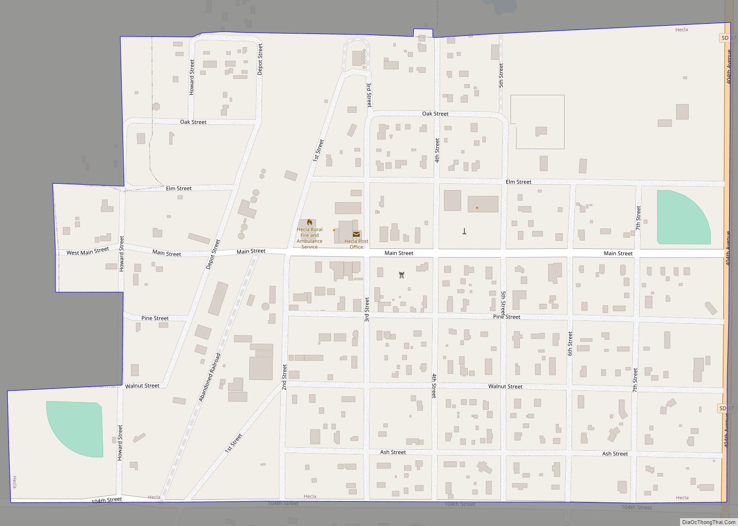
Online Interactive Map
Click on ![]() to view map in "full screen" mode.
to view map in "full screen" mode.
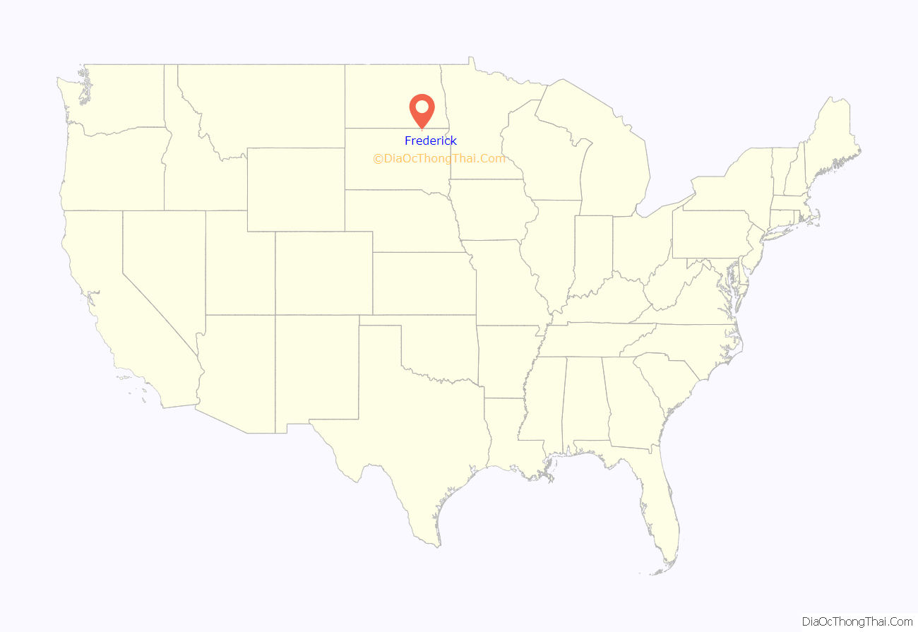
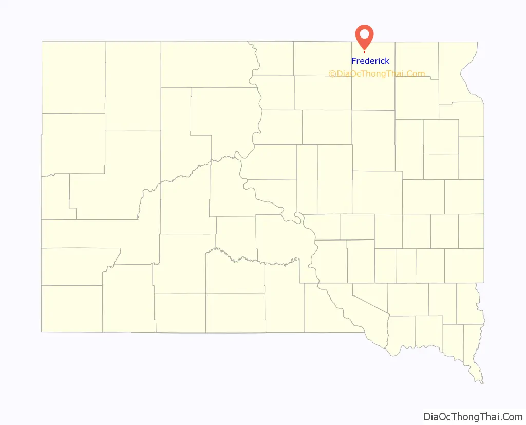
Frederick location map. Where is Frederick town?
History
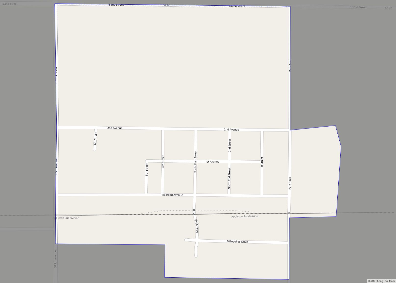
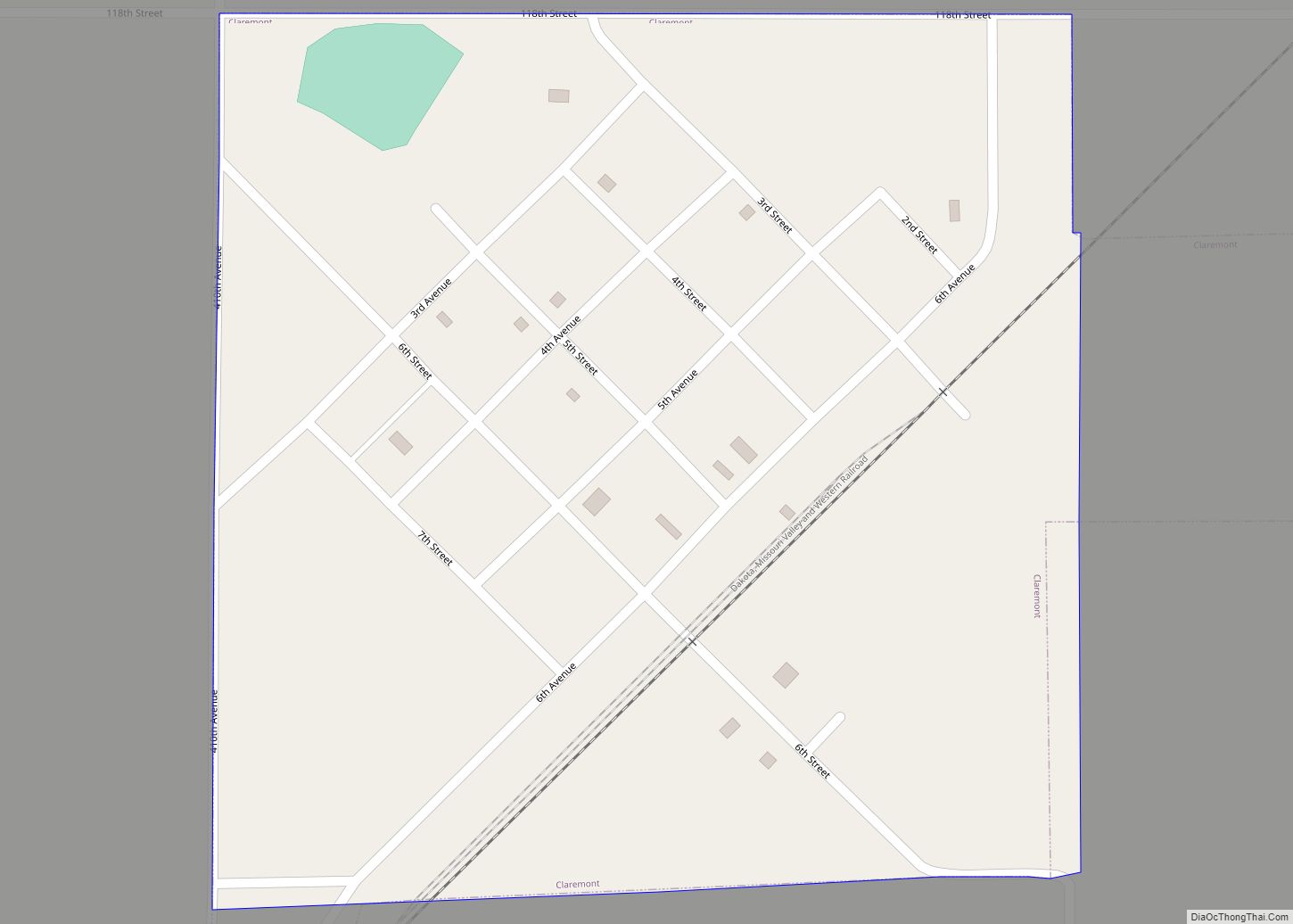
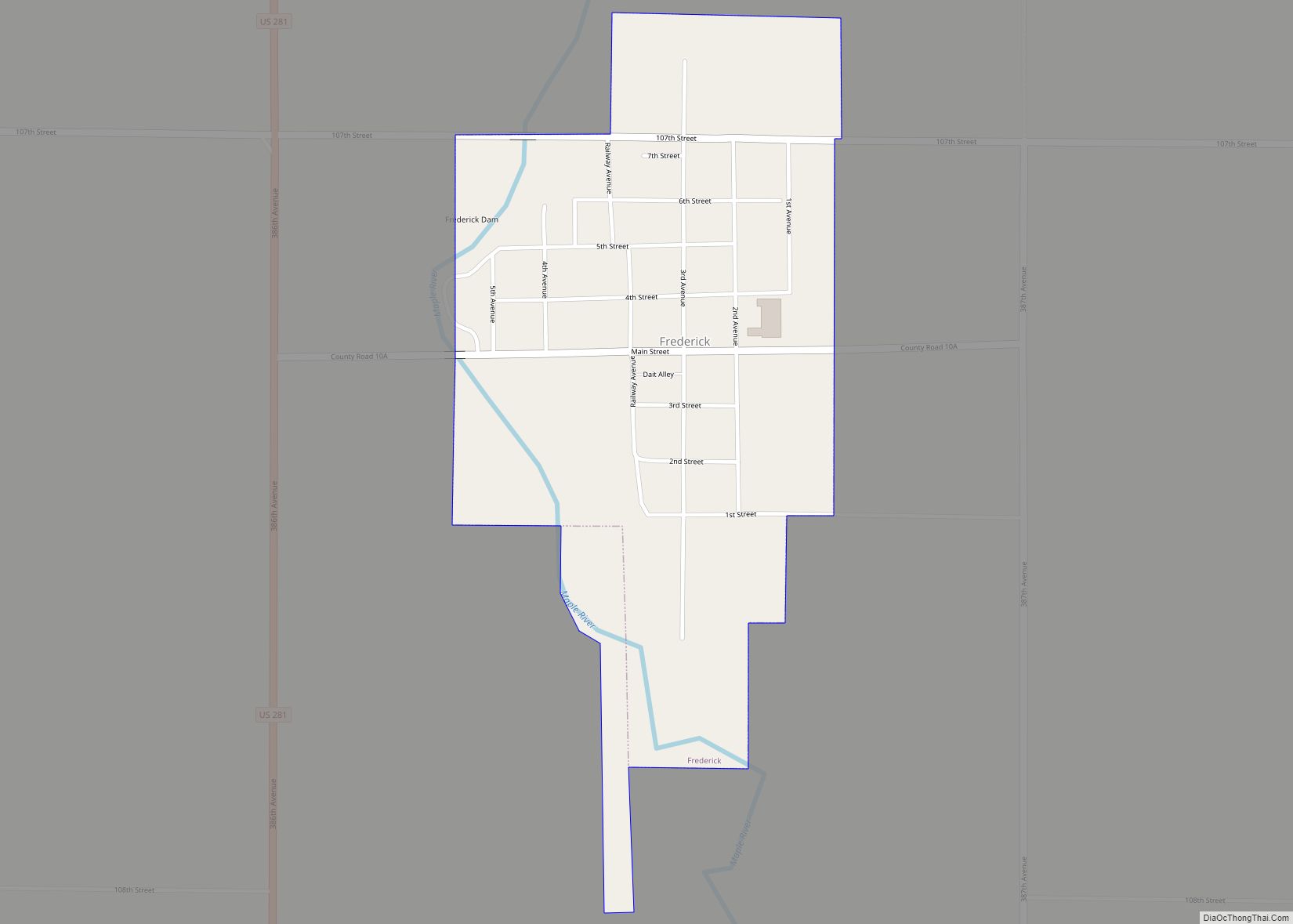
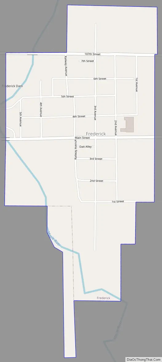
Frederick was a railway town platted and sold to pioneers by the Chicago, Milwaukee & St. Paul Railroad, which completed track into it on September 12, 1881. Its grid of blocks was aligned by compass, with numbered avenues running north–south, and numbered streets running east–west. Main Street and Railway Avenue intersect at the grid’s core. Incorporated on June 21, 1882, Frederick was named after the railroad’s Finnish immigration agent and sales clerk—Kustaa “Frederick” Bergstadius.
On July 2, 1921, a tornado swept through the downtown and “practically every building in the town was demolished”, but only one resident was killed, after his home was torn from its foundation while he was trying to get his family into the storm cellar.
Frederick Road Map
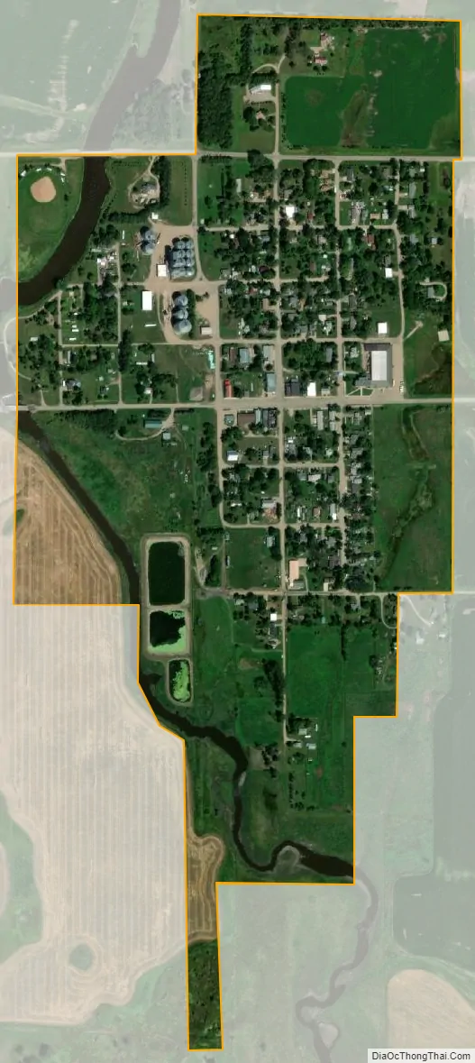
Frederick city Satellite Map
Geography
Frederick is located at 45°49′58″N 98°30′25″W / 45.83278°N 98.50694°W / 45.83278; -98.50694 (45.832812, -98.507026).
According to the United States Census Bureau, the town has a total area of 0.39 square miles (1.01 km), all land. Frederick is drained by the Maple River.
The town is connected by U.S. Route 281.
Frederick has been assigned the ZIP code 57441 and the FIPS place code 22860.
See also
Map of South Dakota State and its subdivision:- Aurora
- Beadle
- Bennett
- Bon Homme
- Brookings
- Brown
- Brule
- Buffalo
- Butte
- Campbell
- Charles Mix
- Clark
- Clay
- Codington
- Corson
- Custer
- Davison
- Day
- Deuel
- Dewey
- Douglas
- Edmunds
- Fall River
- Faulk
- Grant
- Gregory
- Haakon
- Hamlin
- Hand
- Hanson
- Harding
- Hughes
- Hutchinson
- Hyde
- Jackson
- Jerauld
- Jones
- Kingsbury
- Lake
- Lawrence
- Lincoln
- Lyman
- Marshall
- McCook
- McPherson
- Meade
- Mellette
- Miner
- Minnehaha
- Moody
- Pennington
- Perkins
- Potter
- Roberts
- Sanborn
- Shannon
- Spink
- Stanley
- Sully
- Todd
- Tripp
- Turner
- Union
- Walworth
- Yankton
- Ziebach
- Alabama
- Alaska
- Arizona
- Arkansas
- California
- Colorado
- Connecticut
- Delaware
- District of Columbia
- Florida
- Georgia
- Hawaii
- Idaho
- Illinois
- Indiana
- Iowa
- Kansas
- Kentucky
- Louisiana
- Maine
- Maryland
- Massachusetts
- Michigan
- Minnesota
- Mississippi
- Missouri
- Montana
- Nebraska
- Nevada
- New Hampshire
- New Jersey
- New Mexico
- New York
- North Carolina
- North Dakota
- Ohio
- Oklahoma
- Oregon
- Pennsylvania
- Rhode Island
- South Carolina
- South Dakota
- Tennessee
- Texas
- Utah
- Vermont
- Virginia
- Washington
- West Virginia
- Wisconsin
- Wyoming