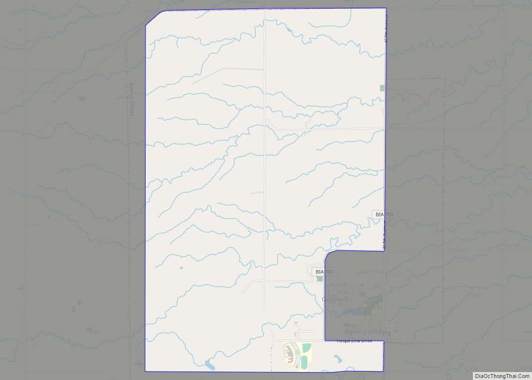
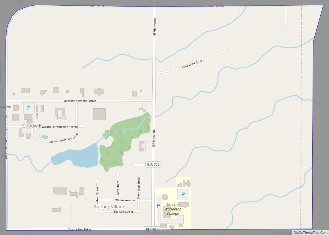
Goodwill is an unincorporated community and former census-designated place (CDP) in Roberts County, South Dakota, United States. Prior to the 2020 Census, the CDP was merged into the Agency Village census-designated place. Over 90% of the population is Native American.
| Name: | Goodwill CDP |
|---|---|
| LSAD Code: | 57 |
| LSAD Description: | CDP (suffix) |
| State: | South Dakota |
| County: | Roberts County |
| Elevation: | 85 ft (26 m) |
| Total Area: | 513 |
| FIPS code: | 4624775 |
| GNISfeature ID: | 2584555 |
Online Interactive Map
Click on ![]() to view map in "full screen" mode.
to view map in "full screen" mode.
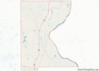
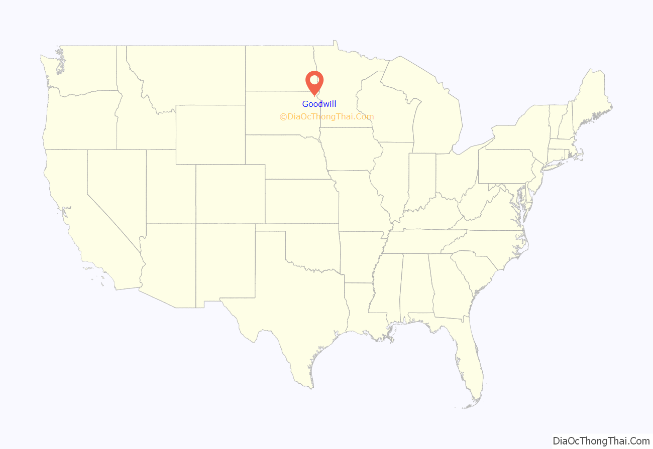
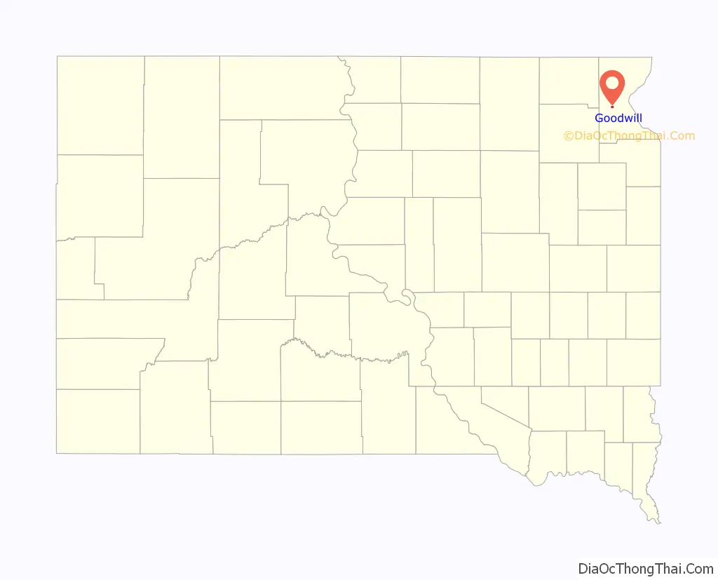
Goodwill location map. Where is Goodwill CDP?
Goodwill Road Map
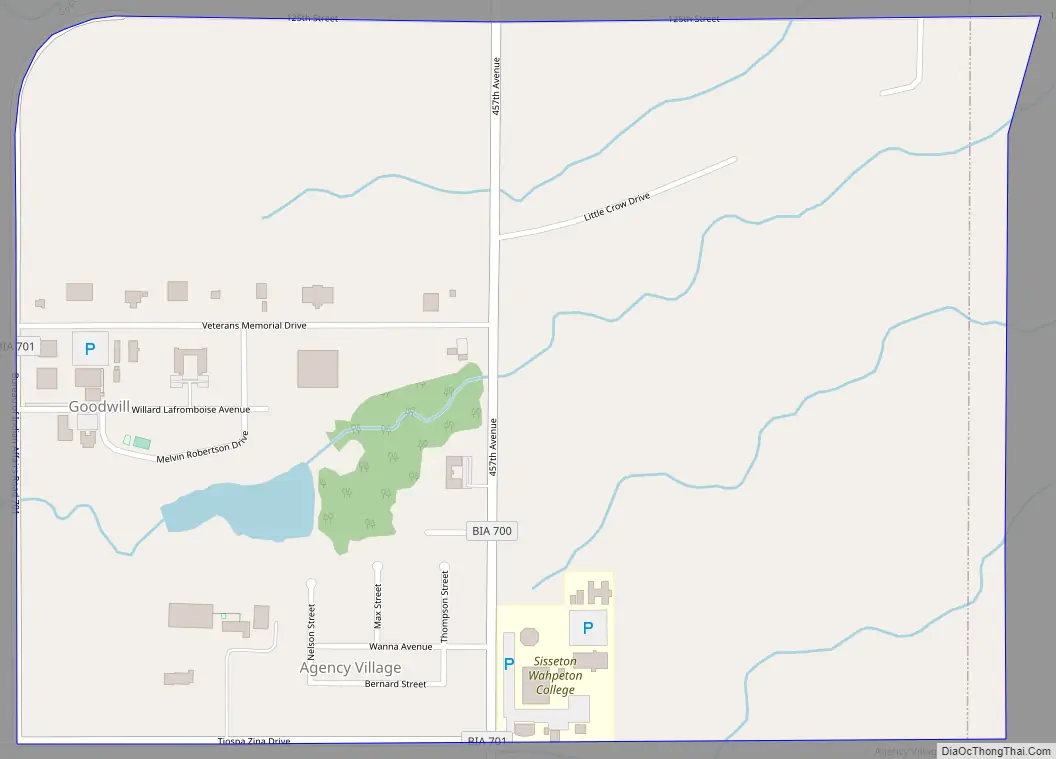
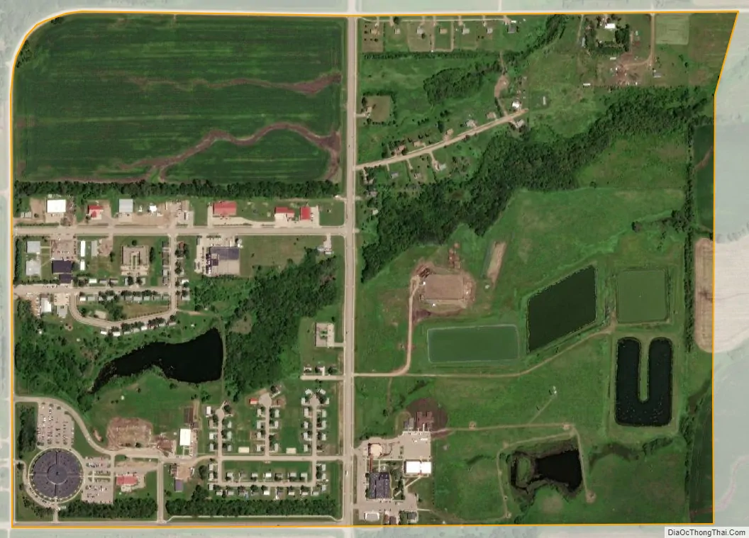
Goodwill city Satellite Map
See also
Map of South Dakota State and its subdivision:- Aurora
- Beadle
- Bennett
- Bon Homme
- Brookings
- Brown
- Brule
- Buffalo
- Butte
- Campbell
- Charles Mix
- Clark
- Clay
- Codington
- Corson
- Custer
- Davison
- Day
- Deuel
- Dewey
- Douglas
- Edmunds
- Fall River
- Faulk
- Grant
- Gregory
- Haakon
- Hamlin
- Hand
- Hanson
- Harding
- Hughes
- Hutchinson
- Hyde
- Jackson
- Jerauld
- Jones
- Kingsbury
- Lake
- Lawrence
- Lincoln
- Lyman
- Marshall
- McCook
- McPherson
- Meade
- Mellette
- Miner
- Minnehaha
- Moody
- Pennington
- Perkins
- Potter
- Roberts
- Sanborn
- Shannon
- Spink
- Stanley
- Sully
- Todd
- Tripp
- Turner
- Union
- Walworth
- Yankton
- Ziebach
- Alabama
- Alaska
- Arizona
- Arkansas
- California
- Colorado
- Connecticut
- Delaware
- District of Columbia
- Florida
- Georgia
- Hawaii
- Idaho
- Illinois
- Indiana
- Iowa
- Kansas
- Kentucky
- Louisiana
- Maine
- Maryland
- Massachusetts
- Michigan
- Minnesota
- Mississippi
- Missouri
- Montana
- Nebraska
- Nevada
- New Hampshire
- New Jersey
- New Mexico
- New York
- North Carolina
- North Dakota
- Ohio
- Oklahoma
- Oregon
- Pennsylvania
- Rhode Island
- South Carolina
- South Dakota
- Tennessee
- Texas
- Utah
- Vermont
- Virginia
- Washington
- West Virginia
- Wisconsin
- Wyoming