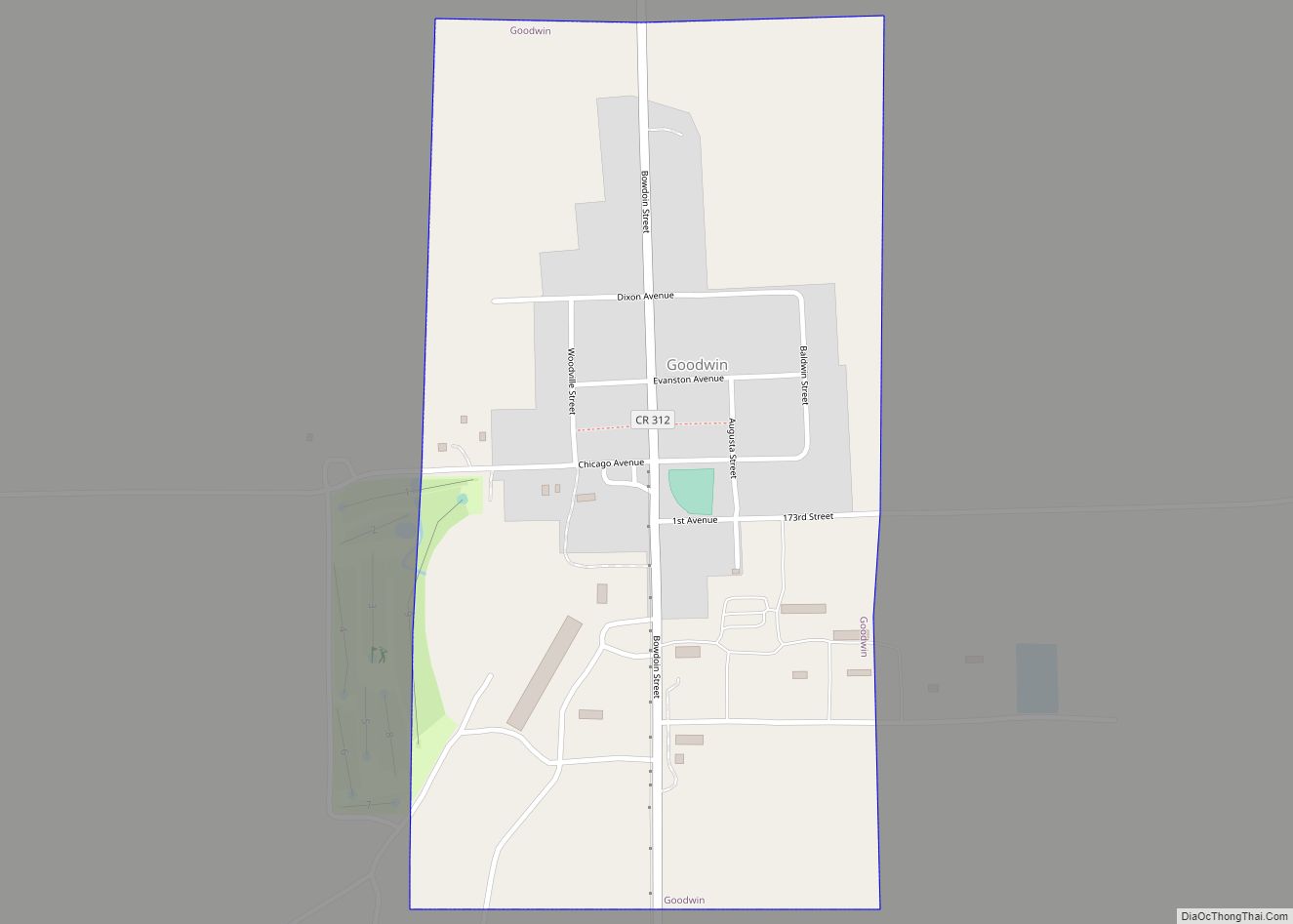
Goodwin is a town in Deuel County, South Dakota, United States, where the population was 147 at the 2020 census.
| Name: | Goodwin town |
|---|---|
| LSAD Code: | 43 |
| LSAD Description: | town (suffix) |
| State: | South Dakota |
| County: | Deuel County |
| Elevation: | 1,998 ft (609 m) |
| Total Area: | 0.47 sq mi (1.23 km²) |
| Land Area: | 0.47 sq mi (1.23 km²) |
| Water Area: | 0.00 sq mi (0.00 km²) |
| Total Population: | 147 |
| Population Density: | 310.13/sq mi (119.68/km²) |
| ZIP code: | 57238 |
| Area code: | 605 |
| FIPS code: | 4624820 |
| GNISfeature ID: | 1265645 |
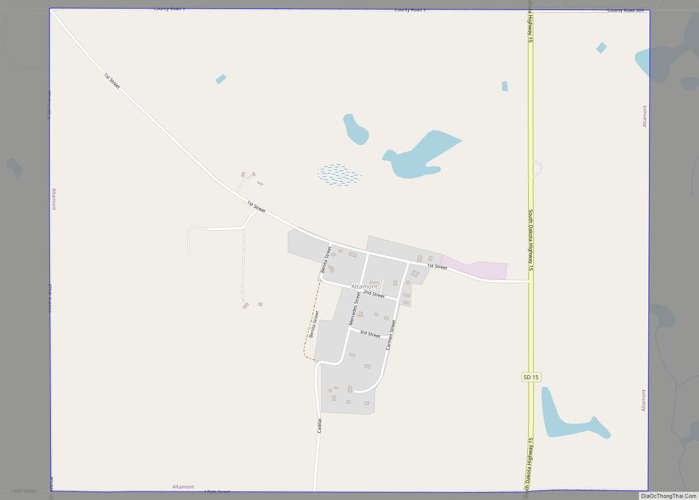
Online Interactive Map
Click on ![]() to view map in "full screen" mode.
to view map in "full screen" mode.
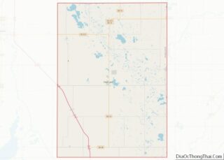
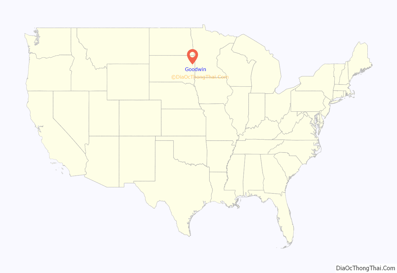
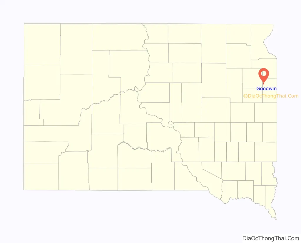
Goodwin location map. Where is Goodwin town?
History
Goodwin was platted in 1878, when the railroad was built into the area. The town was named for George P. Goodwin, a railroad official. A post office has been in operation in Goodwin since 1878. It is still running today. On May 30th 2022, the Town was struck by a tornado that would damage many homes and businesses and would be rated EF3.
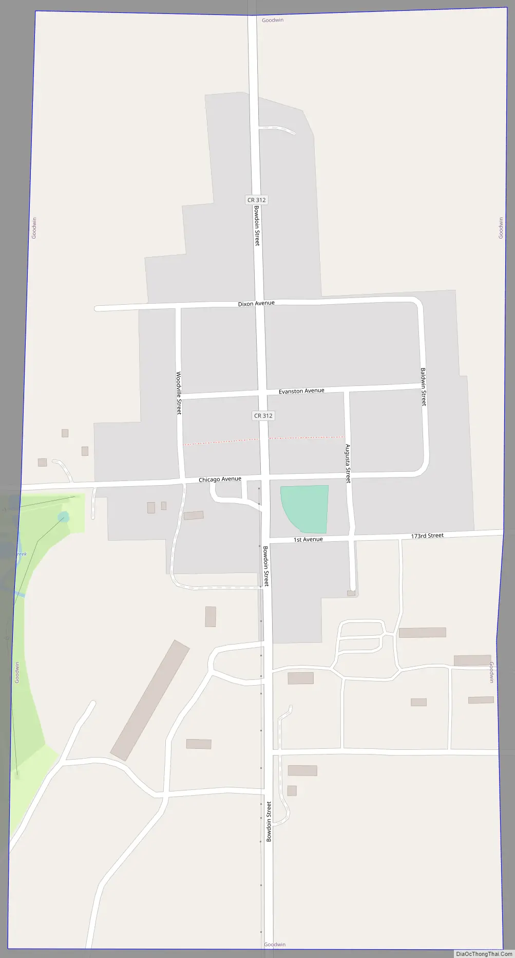
Goodwin Road Map
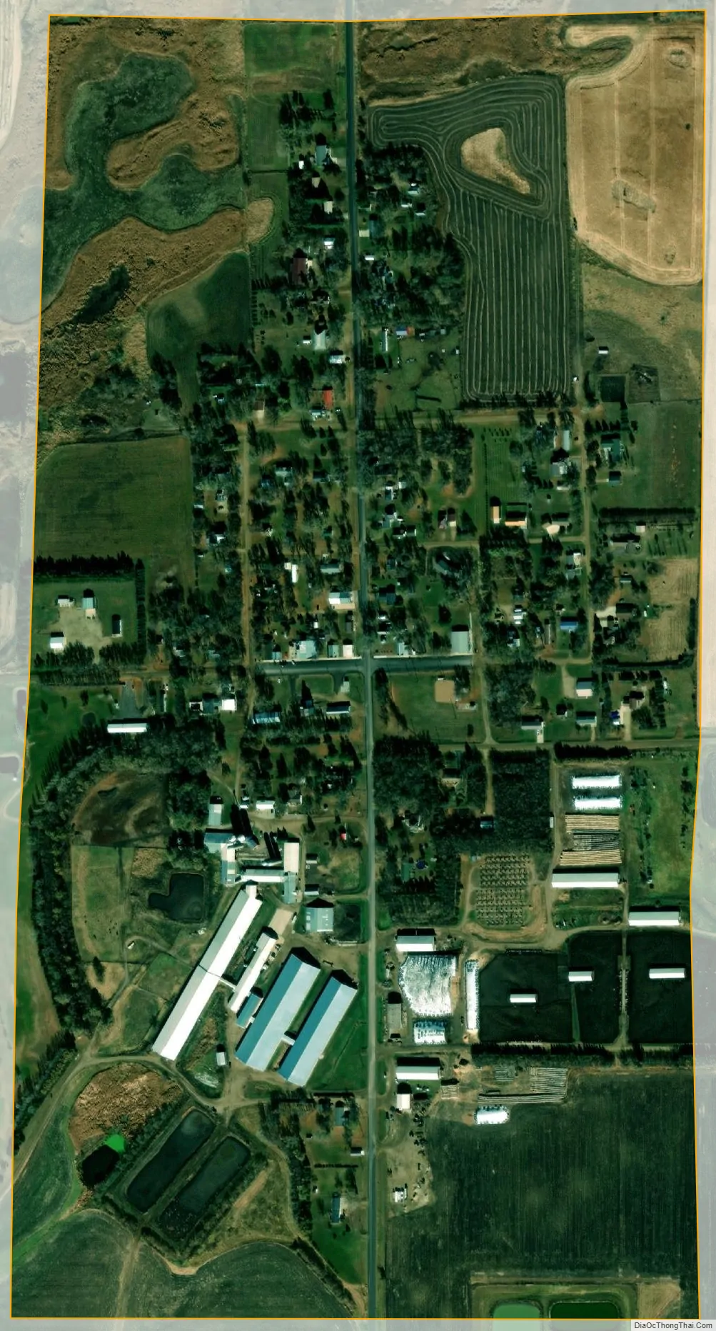
Goodwin city Satellite Map
Geography
Goodwin is located at 44°52′41″N 96°50′56″W / 44.87806°N 96.84889°W / 44.87806; -96.84889 (44.877950, -96.848924).
According to the United States Census Bureau, the town has a total land area of 0.47 square miles (1.22 km), all land.
Goodwin has been assigned the ZIP code 57238 and the FIPS place code 24820.
See also
Map of South Dakota State and its subdivision:- Aurora
- Beadle
- Bennett
- Bon Homme
- Brookings
- Brown
- Brule
- Buffalo
- Butte
- Campbell
- Charles Mix
- Clark
- Clay
- Codington
- Corson
- Custer
- Davison
- Day
- Deuel
- Dewey
- Douglas
- Edmunds
- Fall River
- Faulk
- Grant
- Gregory
- Haakon
- Hamlin
- Hand
- Hanson
- Harding
- Hughes
- Hutchinson
- Hyde
- Jackson
- Jerauld
- Jones
- Kingsbury
- Lake
- Lawrence
- Lincoln
- Lyman
- Marshall
- McCook
- McPherson
- Meade
- Mellette
- Miner
- Minnehaha
- Moody
- Pennington
- Perkins
- Potter
- Roberts
- Sanborn
- Shannon
- Spink
- Stanley
- Sully
- Todd
- Tripp
- Turner
- Union
- Walworth
- Yankton
- Ziebach
- Alabama
- Alaska
- Arizona
- Arkansas
- California
- Colorado
- Connecticut
- Delaware
- District of Columbia
- Florida
- Georgia
- Hawaii
- Idaho
- Illinois
- Indiana
- Iowa
- Kansas
- Kentucky
- Louisiana
- Maine
- Maryland
- Massachusetts
- Michigan
- Minnesota
- Mississippi
- Missouri
- Montana
- Nebraska
- Nevada
- New Hampshire
- New Jersey
- New Mexico
- New York
- North Carolina
- North Dakota
- Ohio
- Oklahoma
- Oregon
- Pennsylvania
- Rhode Island
- South Carolina
- South Dakota
- Tennessee
- Texas
- Utah
- Vermont
- Virginia
- Washington
- West Virginia
- Wisconsin
- Wyoming