Keystone is a town in the Black Hills region of Pennington County, South Dakota, United States. The population was 240 at the 2020 census. It had its origins in 1883 as a mining town, and has since transformed itself into a resort town, serving the needs of the millions of visitors to the Mount Rushmore National Memorial, which is located just beyond the town limits. Keystone was heavily damaged in the 1972 Black Hills flood.
The town took its name from a local mine, which most likely was named after the keystone Masonic symbol.
| Name: | Keystone town |
|---|---|
| LSAD Code: | 43 |
| LSAD Description: | town (suffix) |
| State: | South Dakota |
| County: | Pennington County |
| Elevation: | 4,331 ft (1,320 m) |
| Total Area: | 3.00 sq mi (7.77 km²) |
| Land Area: | 3.00 sq mi (7.77 km²) |
| Water Area: | 0.00 sq mi (0.00 km²) |
| Total Population: | 240 |
| Population Density: | 80.00/sq mi (30.89/km²) |
| ZIP code: | 57751 |
| Area code: | 605 |
| FIPS code: | 4633820 |
| GNISfeature ID: | 1261912 |
Online Interactive Map
Click on ![]() to view map in "full screen" mode.
to view map in "full screen" mode.
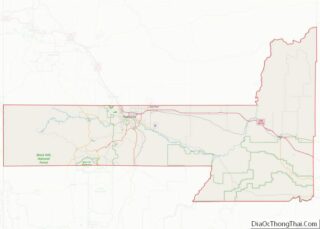
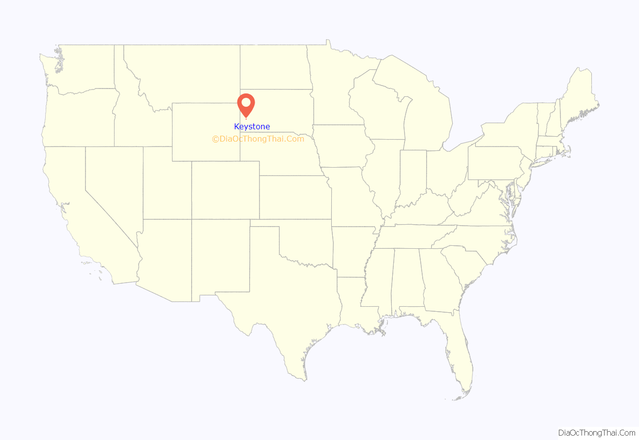
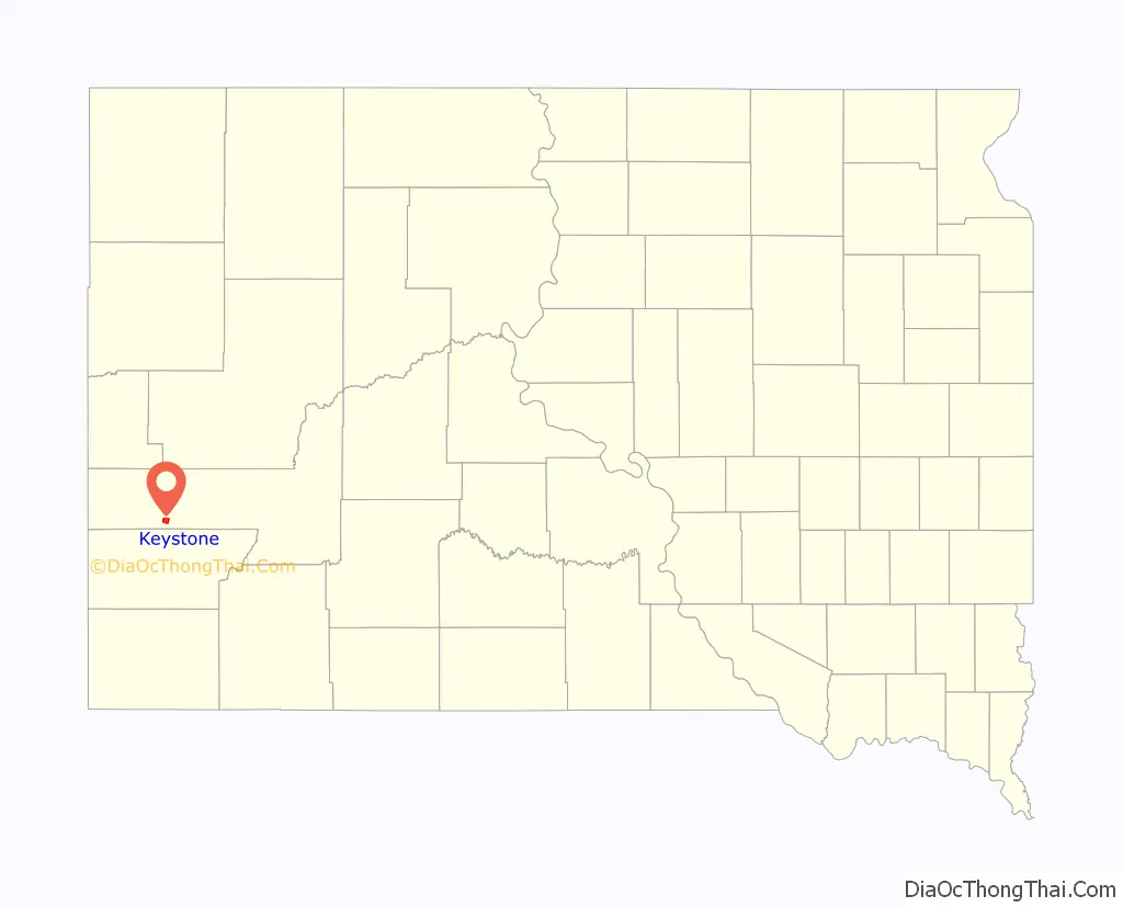
Keystone location map. Where is Keystone town?
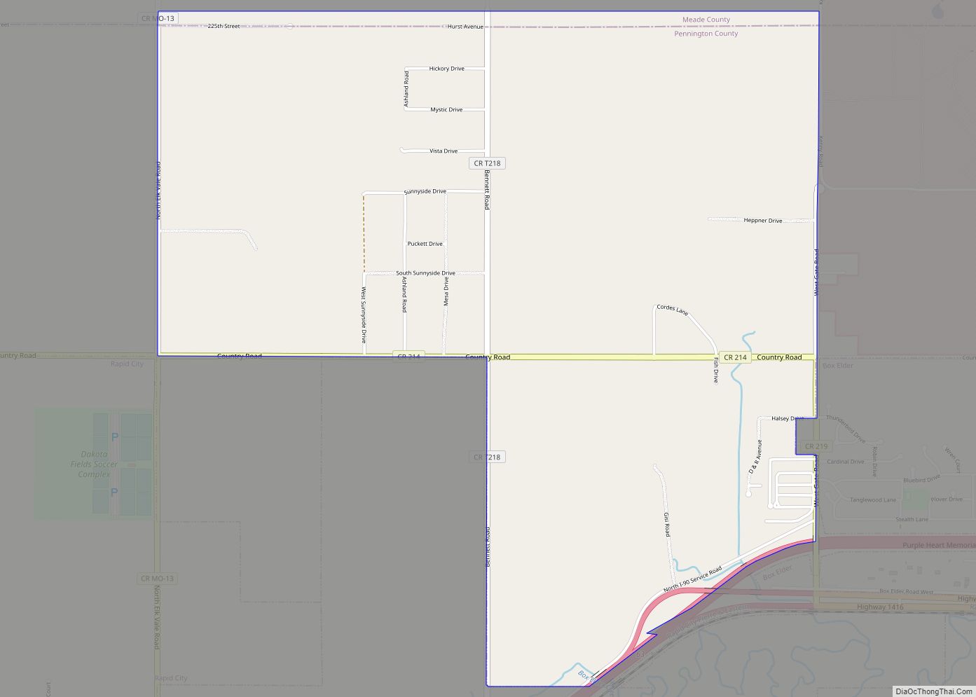
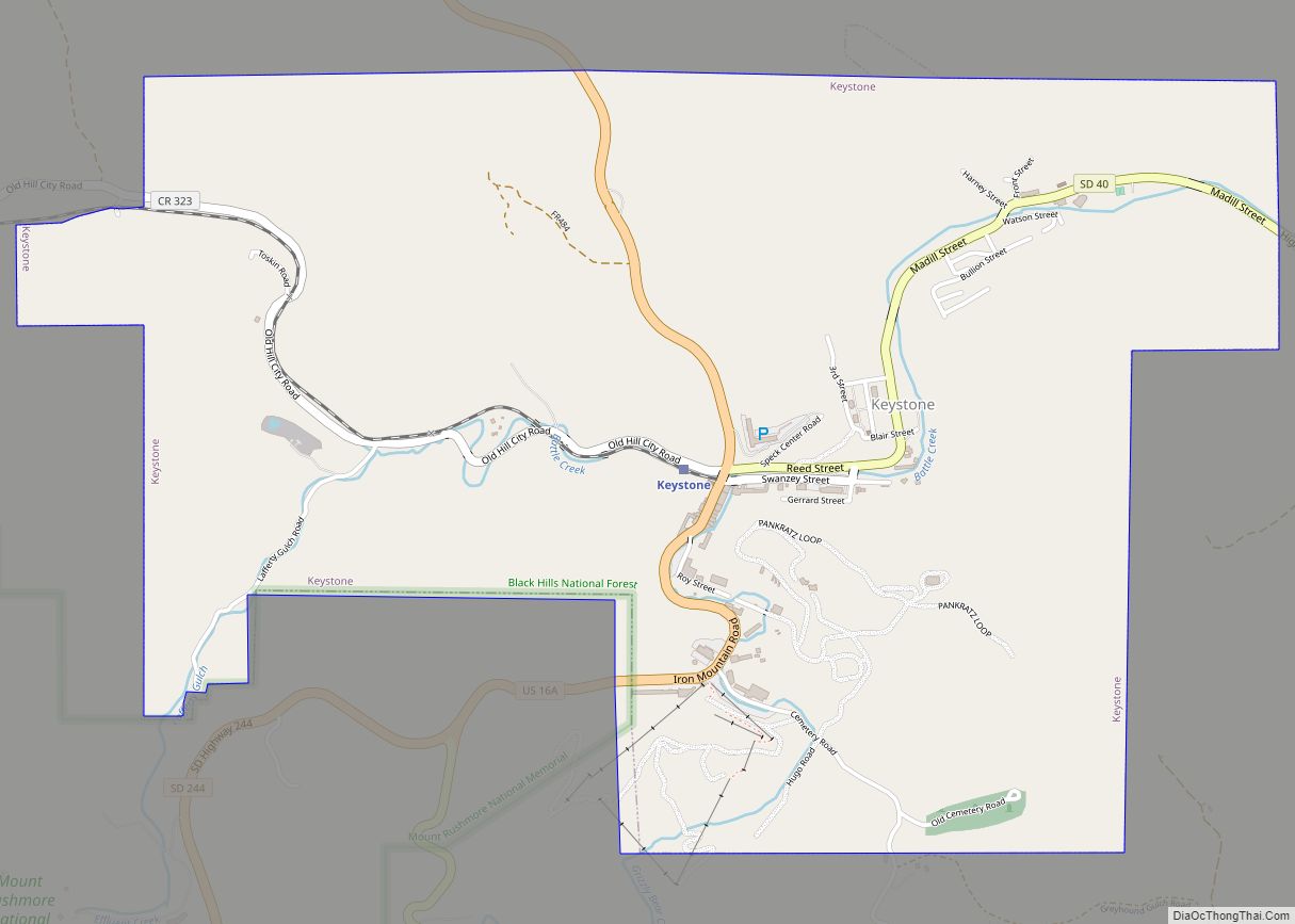
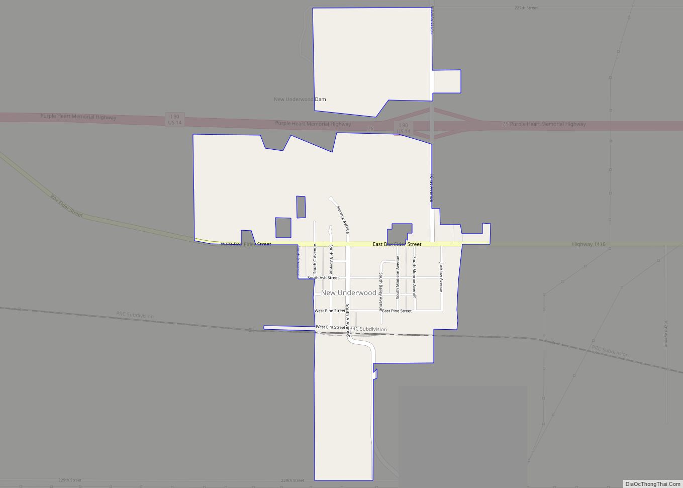
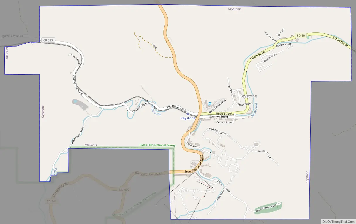
Keystone Road Map
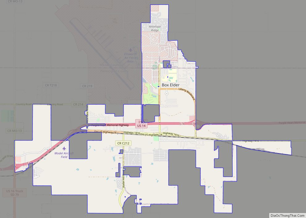
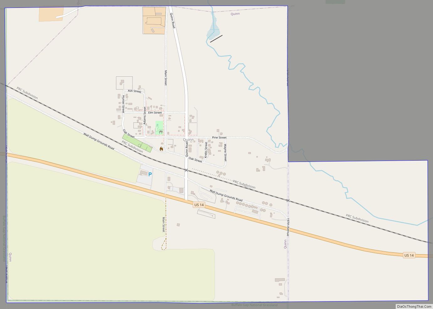
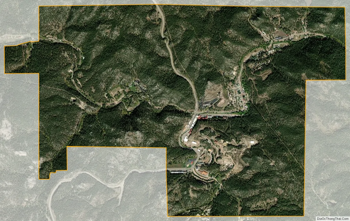
Keystone city Satellite Map
Geography
Keystone is located at 43°53′37″N 103°25′34″W / 43.893744°N 103.426080°W / 43.893744; -103.426080.
According to the United States Census Bureau, the town has a total area of 2.86 square miles (7.41 km), all land.
Keystone has been assigned the ZIP code 57751 and the FIPS place code 33820.
See also
Map of South Dakota State and its subdivision:- Aurora
- Beadle
- Bennett
- Bon Homme
- Brookings
- Brown
- Brule
- Buffalo
- Butte
- Campbell
- Charles Mix
- Clark
- Clay
- Codington
- Corson
- Custer
- Davison
- Day
- Deuel
- Dewey
- Douglas
- Edmunds
- Fall River
- Faulk
- Grant
- Gregory
- Haakon
- Hamlin
- Hand
- Hanson
- Harding
- Hughes
- Hutchinson
- Hyde
- Jackson
- Jerauld
- Jones
- Kingsbury
- Lake
- Lawrence
- Lincoln
- Lyman
- Marshall
- McCook
- McPherson
- Meade
- Mellette
- Miner
- Minnehaha
- Moody
- Pennington
- Perkins
- Potter
- Roberts
- Sanborn
- Shannon
- Spink
- Stanley
- Sully
- Todd
- Tripp
- Turner
- Union
- Walworth
- Yankton
- Ziebach
- Alabama
- Alaska
- Arizona
- Arkansas
- California
- Colorado
- Connecticut
- Delaware
- District of Columbia
- Florida
- Georgia
- Hawaii
- Idaho
- Illinois
- Indiana
- Iowa
- Kansas
- Kentucky
- Louisiana
- Maine
- Maryland
- Massachusetts
- Michigan
- Minnesota
- Mississippi
- Missouri
- Montana
- Nebraska
- Nevada
- New Hampshire
- New Jersey
- New Mexico
- New York
- North Carolina
- North Dakota
- Ohio
- Oklahoma
- Oregon
- Pennsylvania
- Rhode Island
- South Carolina
- South Dakota
- Tennessee
- Texas
- Utah
- Vermont
- Virginia
- Washington
- West Virginia
- Wisconsin
- Wyoming