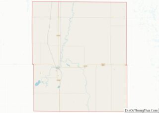
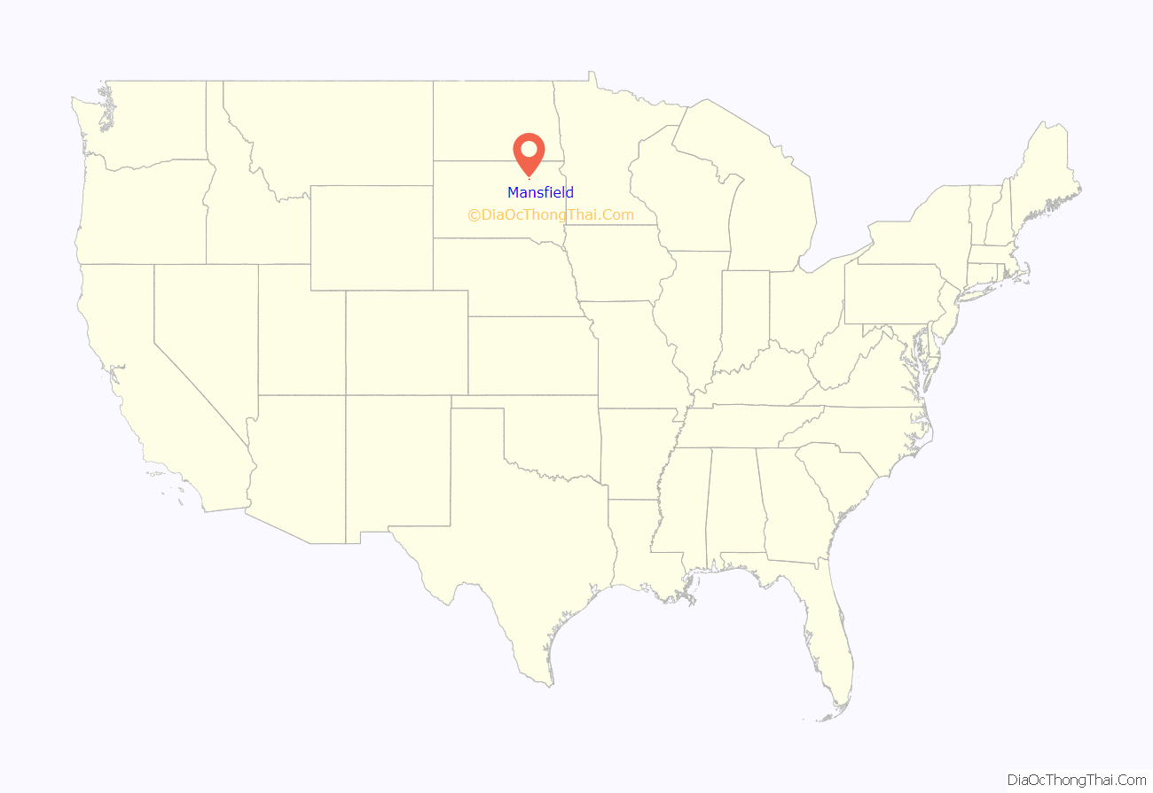
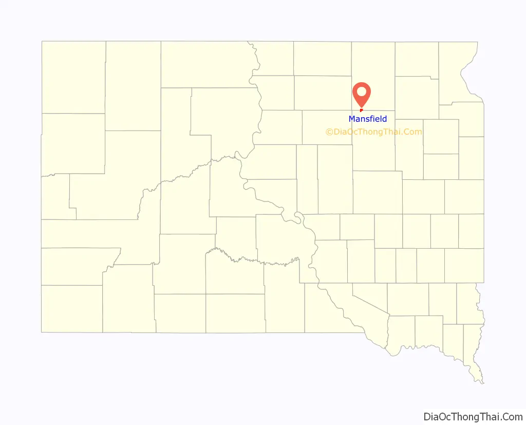
Mansfield is an unincorporated community and census-designated place on the border between Brown and Spink counties, South Dakota, United States. The population was 86 according to the 2020 census.
Located 2 miles (3 km) west of Highway 281, it is approximately 18 miles (29 km) south of Aberdeen, the third largest city in South Dakota. The James River flows 7 miles (11 km) east of Mansfield, and the surrounding James River Valley is some of the richest farmland in the state. Additionally, this area is widely known for its large variety of game and is a popular pheasant hunting venue.
| Name: | Mansfield CDP |
|---|---|
| LSAD Code: | 57 |
| LSAD Description: | CDP (suffix) |
| State: | South Dakota |
| County: | Brown County, Spink County |
| Elevation: | 1,296 ft (395 m) |
| Total Area: | 2.41 sq mi (6.24 km²) |
| Land Area: | 2.41 sq mi (6.24 km²) |
| Water Area: | 0.00 sq mi (0.00 km²) |
| Total Population: | 86 |
| Population Density: | 35.67/sq mi (13.77/km²) |
| ZIP code: | 57460 |
| Area code: | 605 |
| FIPS code: | 4640580 |
| GNISfeature ID: | 1256319 |
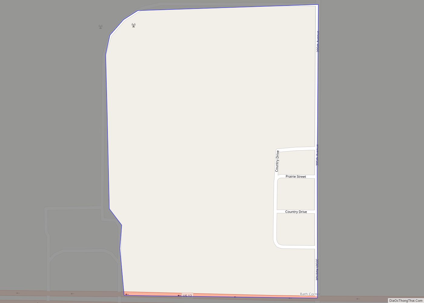
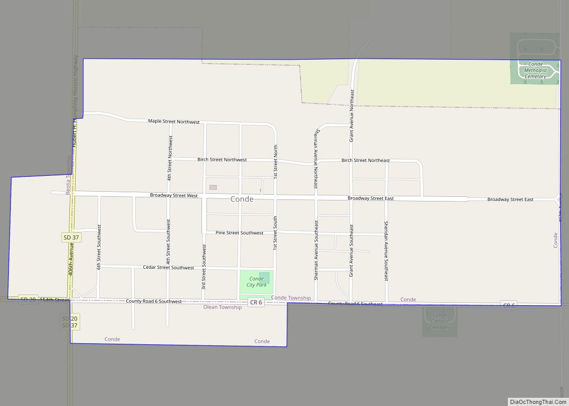
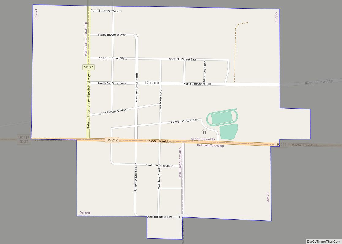
Online Interactive Map
Click on ![]() to view map in "full screen" mode.
to view map in "full screen" mode.
Mansfield location map. Where is Mansfield CDP?
History
Mansfield was named for John Mansfield, who owned the land where the community is located. John Mansfield was also credited with bringing the railroad to the site.
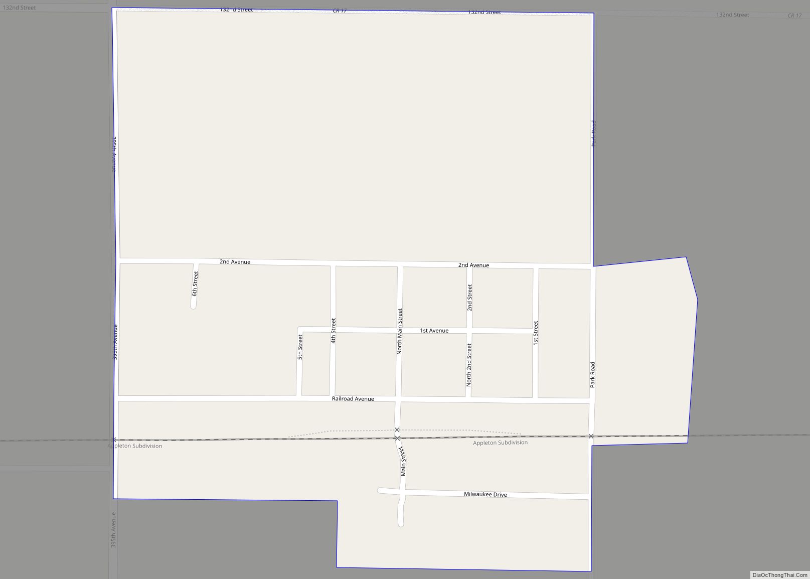
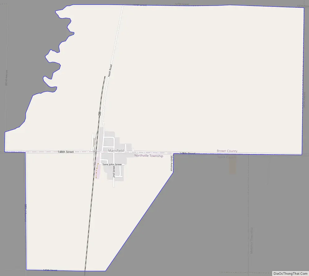
Mansfield Road Map
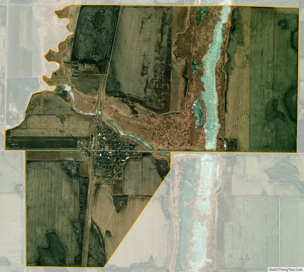
Mansfield city Satellite Map
See also
Map of South Dakota State and its subdivision:- Aurora
- Beadle
- Bennett
- Bon Homme
- Brookings
- Brown
- Brule
- Buffalo
- Butte
- Campbell
- Charles Mix
- Clark
- Clay
- Codington
- Corson
- Custer
- Davison
- Day
- Deuel
- Dewey
- Douglas
- Edmunds
- Fall River
- Faulk
- Grant
- Gregory
- Haakon
- Hamlin
- Hand
- Hanson
- Harding
- Hughes
- Hutchinson
- Hyde
- Jackson
- Jerauld
- Jones
- Kingsbury
- Lake
- Lawrence
- Lincoln
- Lyman
- Marshall
- McCook
- McPherson
- Meade
- Mellette
- Miner
- Minnehaha
- Moody
- Pennington
- Perkins
- Potter
- Roberts
- Sanborn
- Shannon
- Spink
- Stanley
- Sully
- Todd
- Tripp
- Turner
- Union
- Walworth
- Yankton
- Ziebach
- Alabama
- Alaska
- Arizona
- Arkansas
- California
- Colorado
- Connecticut
- Delaware
- District of Columbia
- Florida
- Georgia
- Hawaii
- Idaho
- Illinois
- Indiana
- Iowa
- Kansas
- Kentucky
- Louisiana
- Maine
- Maryland
- Massachusetts
- Michigan
- Minnesota
- Mississippi
- Missouri
- Montana
- Nebraska
- Nevada
- New Hampshire
- New Jersey
- New Mexico
- New York
- North Carolina
- North Dakota
- Ohio
- Oklahoma
- Oregon
- Pennsylvania
- Rhode Island
- South Carolina
- South Dakota
- Tennessee
- Texas
- Utah
- Vermont
- Virginia
- Washington
- West Virginia
- Wisconsin
- Wyoming