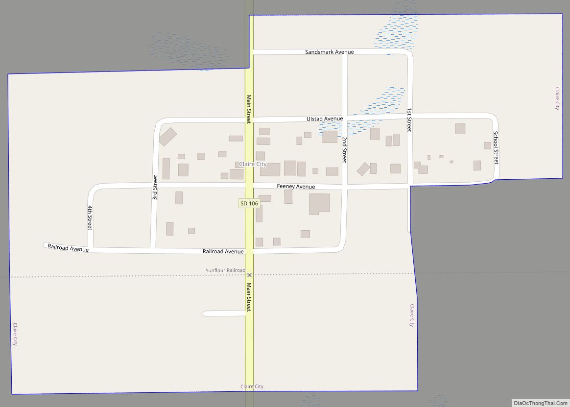
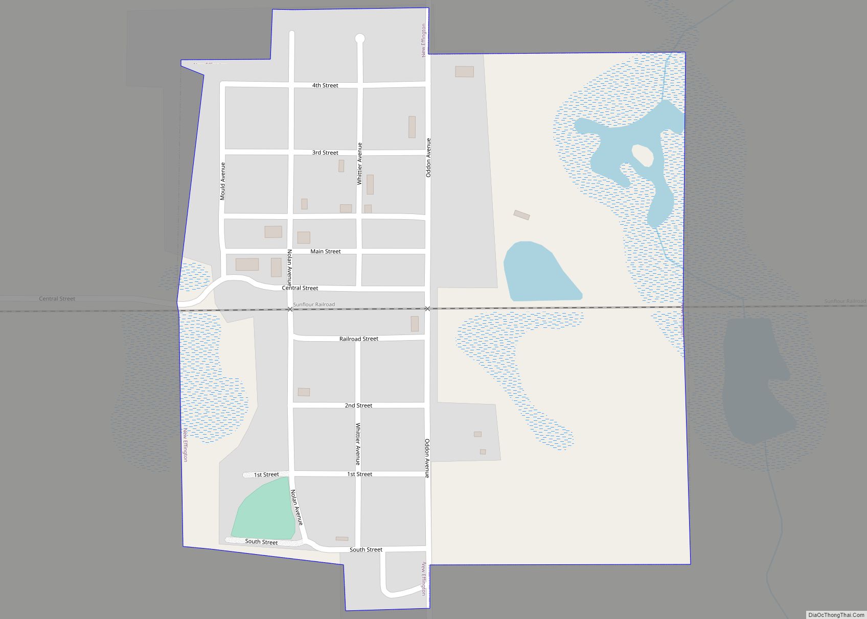
New Effington is a town in Roberts County, South Dakota, United States. The population was 234 at the 2020 census.
New Effington was laid out in 1913, after a proposed railroad further away from the original city Effington spurred the need to move the town. Needing a new name they simply added “New”, the original being a reference to one of the first women (named Ellie) to get a homestead in the original town.
| Name: | New Effington town |
|---|---|
| LSAD Code: | 43 |
| LSAD Description: | town (suffix) |
| State: | South Dakota |
| County: | Roberts County |
| Incorporated: | 1914 |
| Elevation: | 1,099 ft (335 m) |
| Total Area: | 0.27 sq mi (0.70 km²) |
| Land Area: | 0.26 sq mi (0.68 km²) |
| Water Area: | 0.01 sq mi (0.03 km²) |
| Total Population: | 234 |
| Population Density: | 896.55/sq mi (345.84/km²) |
| ZIP code: | 57255 |
| Area code: | 605 |
| FIPS code: | 4644820 |
| GNISfeature ID: | 1260945 |
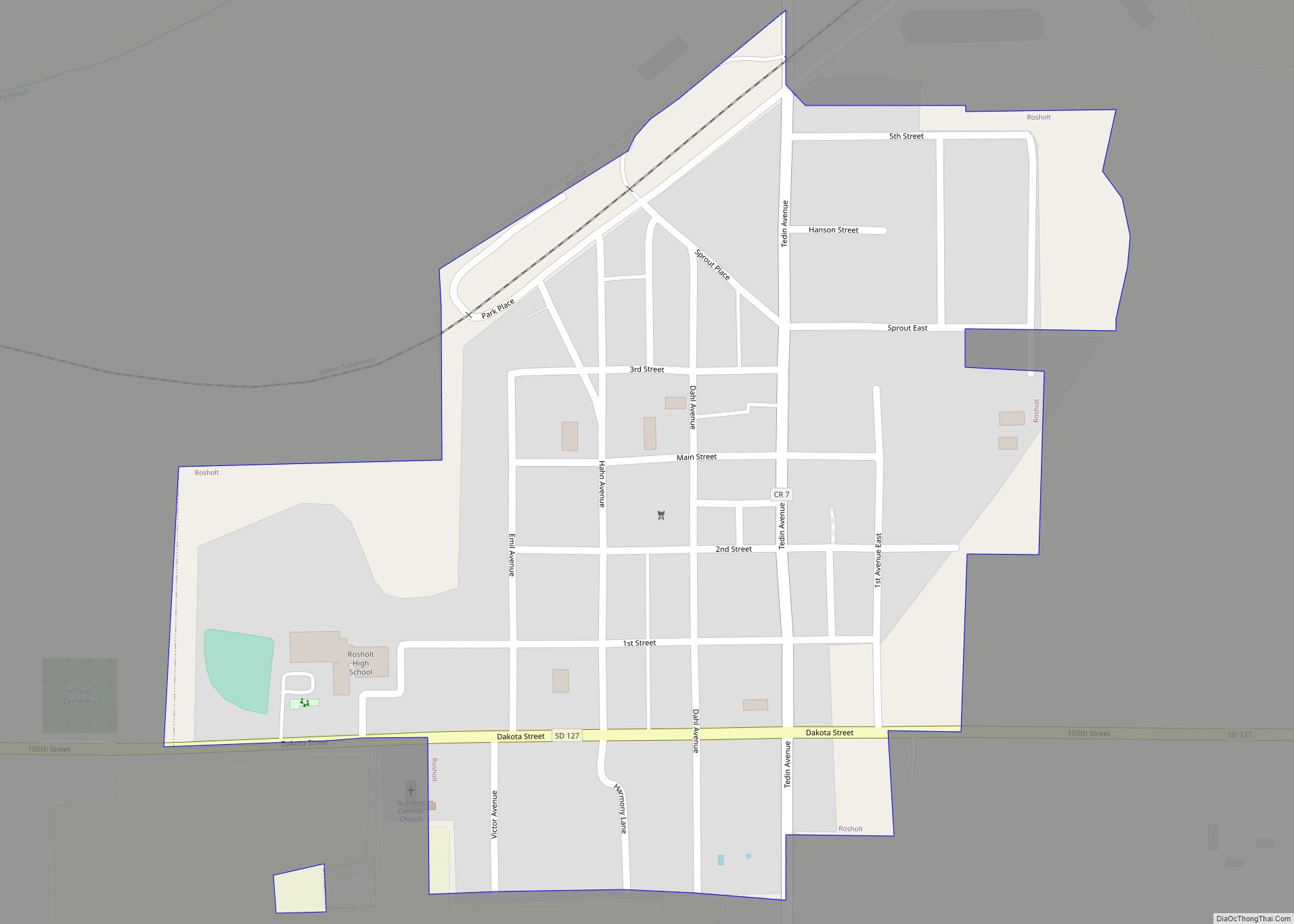
Online Interactive Map
Click on ![]() to view map in "full screen" mode.
to view map in "full screen" mode.
New Effington location map. Where is New Effington town?
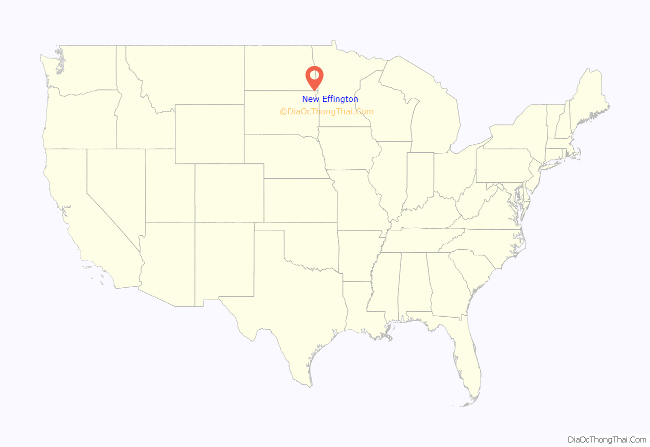
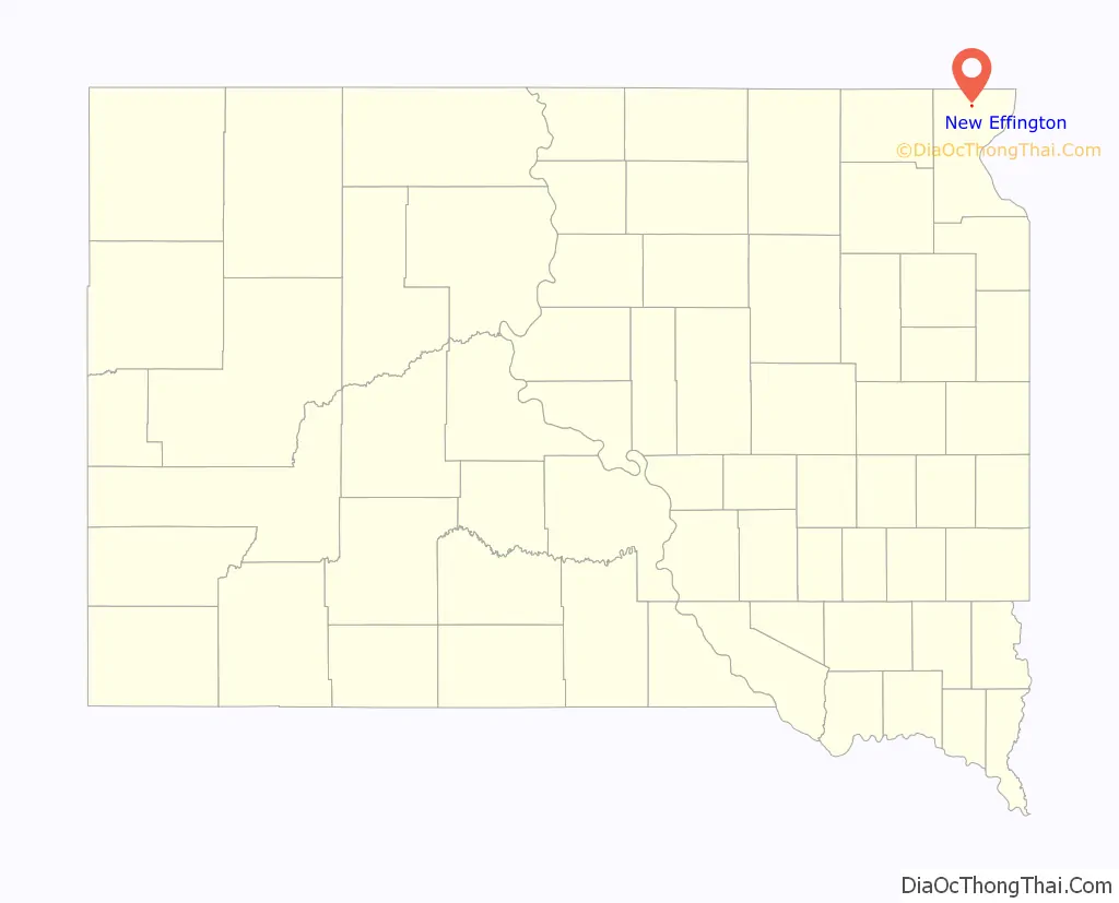
New Effington Road Map
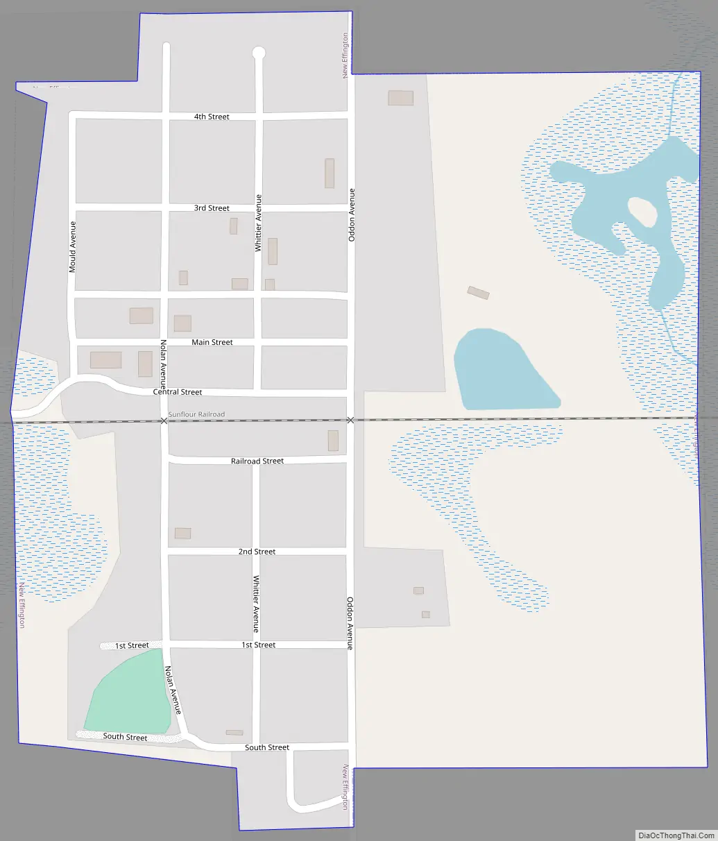
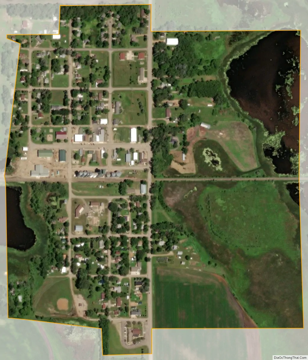
New Effington city Satellite Map
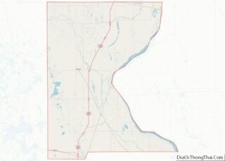
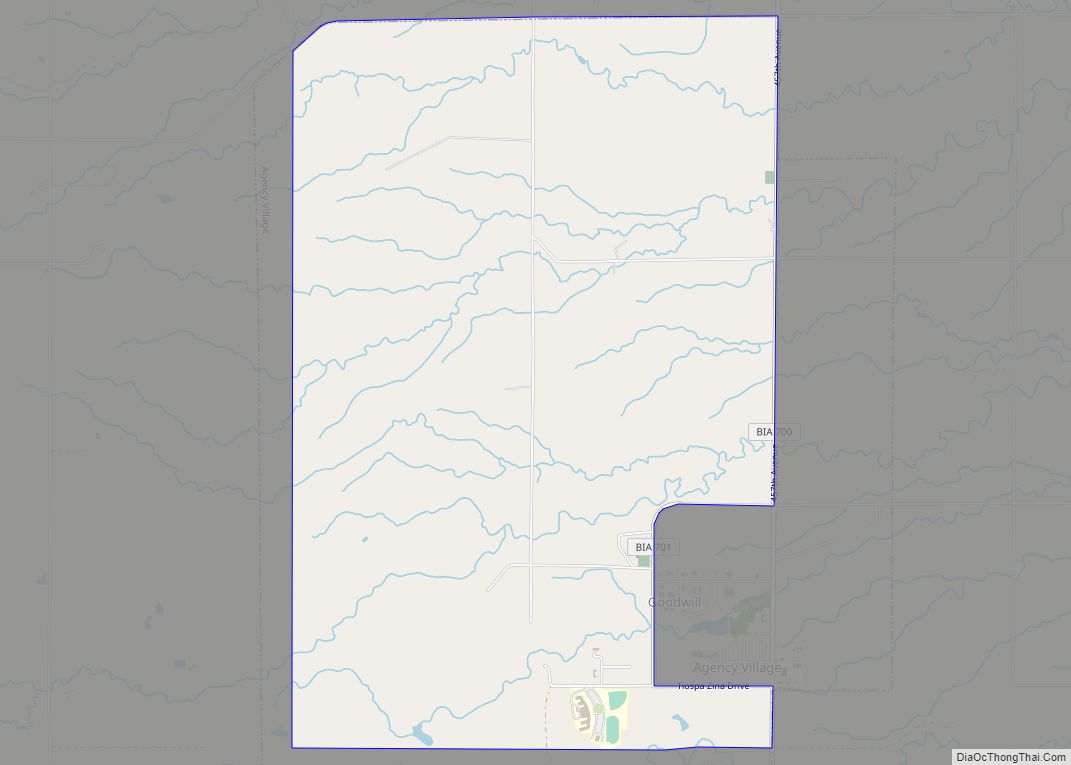
Geography
New Effington is located at 45°51′22″N 96°55′9″W / 45.85611°N 96.91917°W / 45.85611; -96.91917 (45.856135, -96.919074).
According to the United States Census Bureau, the town has a total area of 0.27 square miles (0.70 km), of which 0.26 square miles (0.67 km) is land and 0.01 square miles (0.03 km) is water.
New Effington has been assigned the ZIP code 57255 and the FIPS place code 44860.
See also
Map of South Dakota State and its subdivision:- Aurora
- Beadle
- Bennett
- Bon Homme
- Brookings
- Brown
- Brule
- Buffalo
- Butte
- Campbell
- Charles Mix
- Clark
- Clay
- Codington
- Corson
- Custer
- Davison
- Day
- Deuel
- Dewey
- Douglas
- Edmunds
- Fall River
- Faulk
- Grant
- Gregory
- Haakon
- Hamlin
- Hand
- Hanson
- Harding
- Hughes
- Hutchinson
- Hyde
- Jackson
- Jerauld
- Jones
- Kingsbury
- Lake
- Lawrence
- Lincoln
- Lyman
- Marshall
- McCook
- McPherson
- Meade
- Mellette
- Miner
- Minnehaha
- Moody
- Pennington
- Perkins
- Potter
- Roberts
- Sanborn
- Shannon
- Spink
- Stanley
- Sully
- Todd
- Tripp
- Turner
- Union
- Walworth
- Yankton
- Ziebach
- Alabama
- Alaska
- Arizona
- Arkansas
- California
- Colorado
- Connecticut
- Delaware
- District of Columbia
- Florida
- Georgia
- Hawaii
- Idaho
- Illinois
- Indiana
- Iowa
- Kansas
- Kentucky
- Louisiana
- Maine
- Maryland
- Massachusetts
- Michigan
- Minnesota
- Mississippi
- Missouri
- Montana
- Nebraska
- Nevada
- New Hampshire
- New Jersey
- New Mexico
- New York
- North Carolina
- North Dakota
- Ohio
- Oklahoma
- Oregon
- Pennsylvania
- Rhode Island
- South Carolina
- South Dakota
- Tennessee
- Texas
- Utah
- Vermont
- Virginia
- Washington
- West Virginia
- Wisconsin
- Wyoming