New Underwood (Lakota: wóȟešma tȟéča; “new undergrowth”) is a city in Pennington County, South Dakota, United States. The population was 590 at the 2020 Census.
New Underwood got its start circa 1906. The city was named for John Underwood, a cattleman. Until 2017, it was home to the world’s smallest biker bar, which is now closed.
| Name: | New Underwood city |
|---|---|
| LSAD Code: | 25 |
| LSAD Description: | city (suffix) |
| State: | South Dakota |
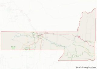
| County: | Pennington County |
| Elevation: | 2,844 ft (867 m) |
| Total Area: | 1.46 sq mi (3.78 km²) |
| Land Area: | 1.46 sq mi (3.78 km²) |
| Water Area: | 0.00 sq mi (0.00 km²) |
| Total Population: | 590 |
| Population Density: | 404.39/sq mi (156.16/km²) |
| ZIP code: | 57761 |
| Area code: | 605 |
| FIPS code: | 4645060 |
| GNISfeature ID: | 1256685 |
| Website: | www.newunderwood.com |
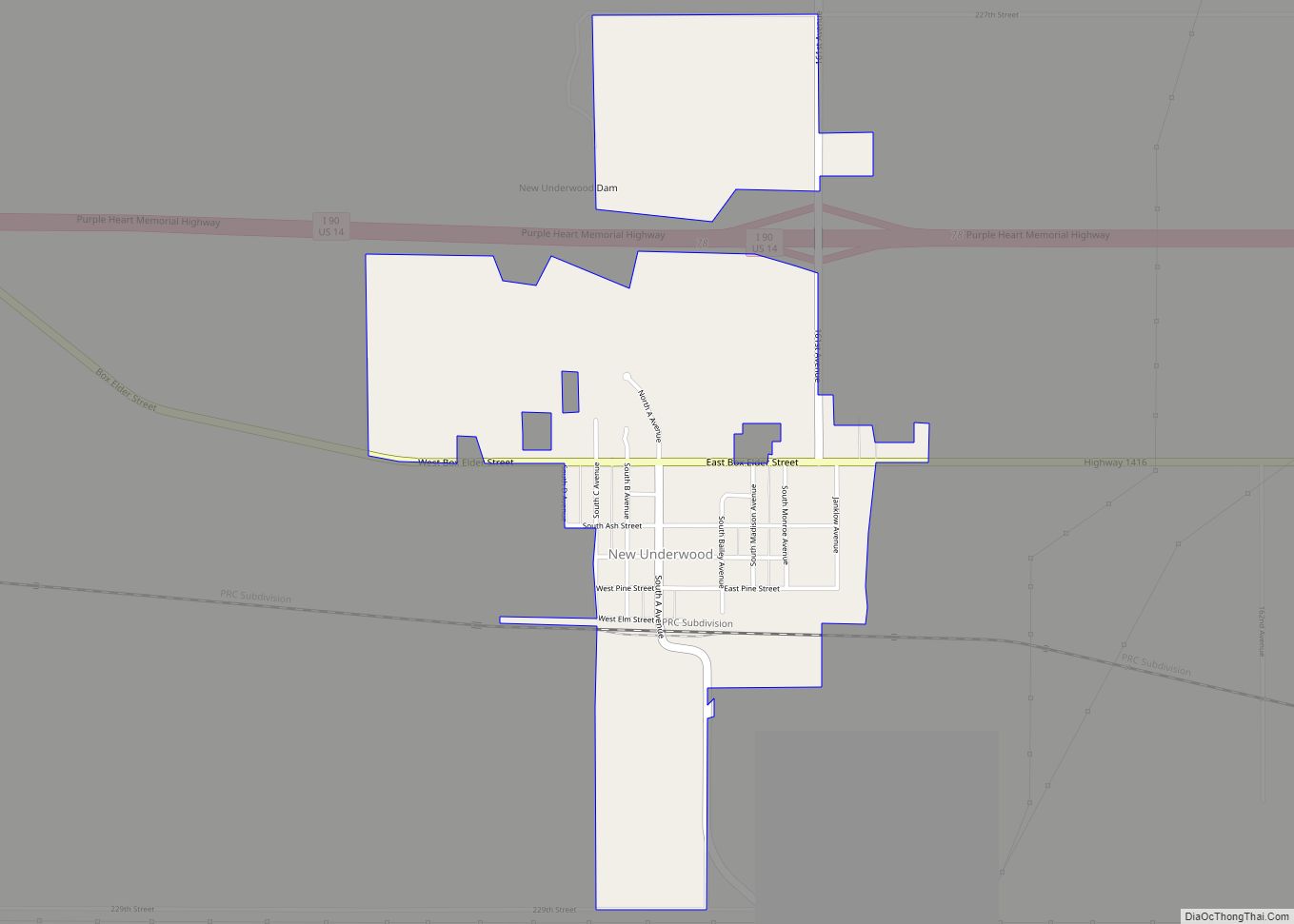
Online Interactive Map
Click on ![]() to view map in "full screen" mode.
to view map in "full screen" mode.
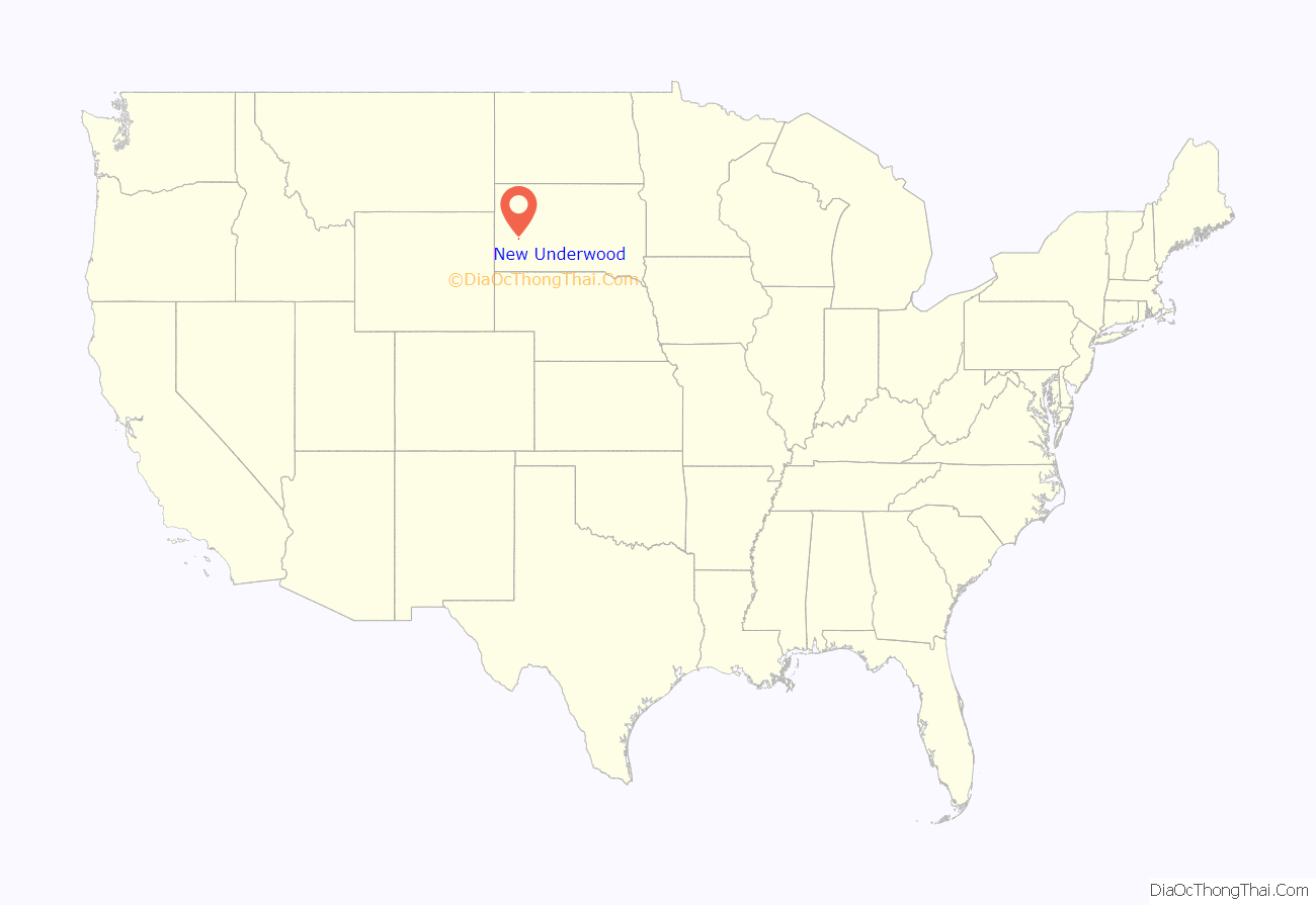
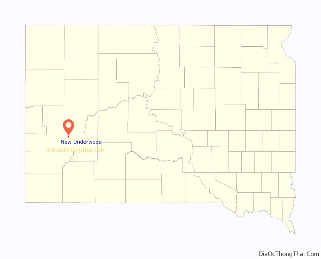
New Underwood location map. Where is New Underwood city?
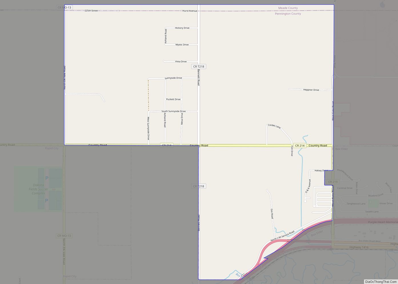
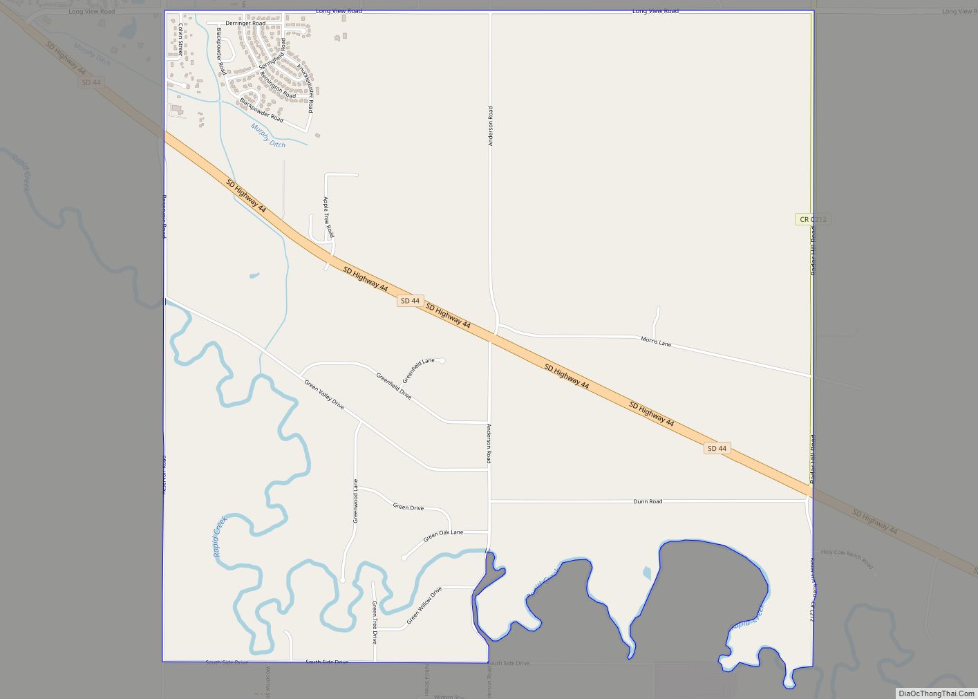
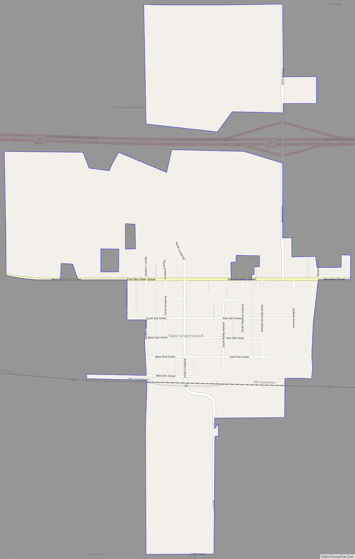
New Underwood Road Map
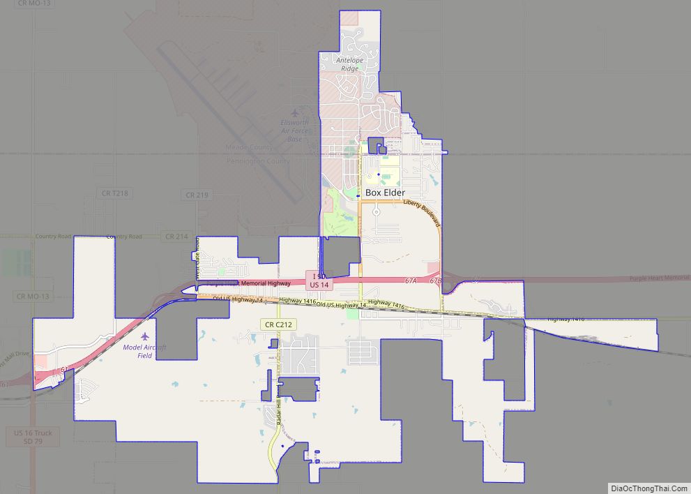
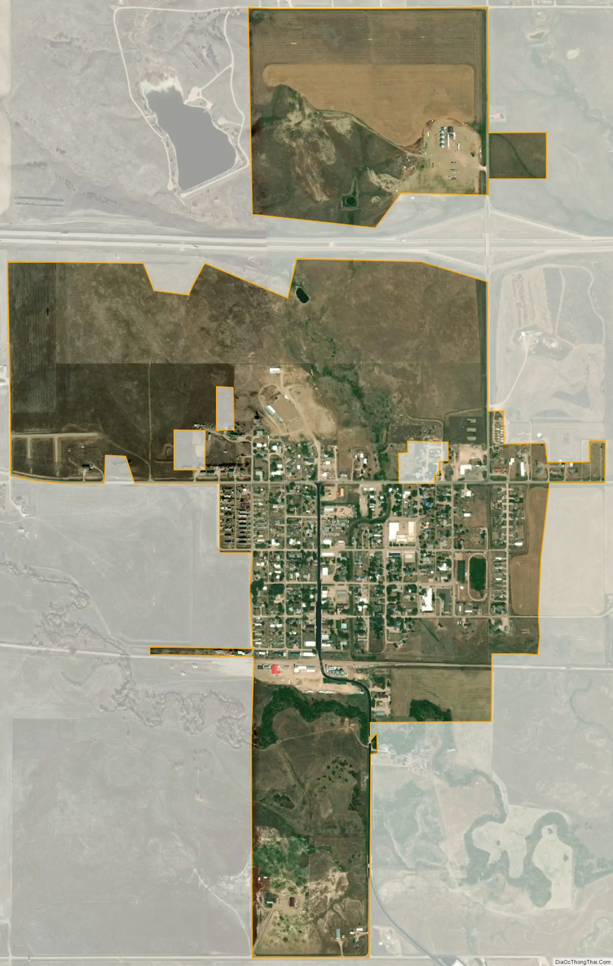
New Underwood city Satellite Map
Geography
New Underwood is located at 44°5′38″N 102°50′3″W / 44.09389°N 102.83417°W / 44.09389; -102.83417 (44.093843, -102.834055).
According to the United States Census Bureau, the city has a total area of 1.00 square mile (2.59 km), all land.
New Underwood has been assigned the ZIP code 57761 and the FIPS place code 45060.
See also
Map of South Dakota State and its subdivision:- Aurora
- Beadle
- Bennett
- Bon Homme
- Brookings
- Brown
- Brule
- Buffalo
- Butte
- Campbell
- Charles Mix
- Clark
- Clay
- Codington
- Corson
- Custer
- Davison
- Day
- Deuel
- Dewey
- Douglas
- Edmunds
- Fall River
- Faulk
- Grant
- Gregory
- Haakon
- Hamlin
- Hand
- Hanson
- Harding
- Hughes
- Hutchinson
- Hyde
- Jackson
- Jerauld
- Jones
- Kingsbury
- Lake
- Lawrence
- Lincoln
- Lyman
- Marshall
- McCook
- McPherson
- Meade
- Mellette
- Miner
- Minnehaha
- Moody
- Pennington
- Perkins
- Potter
- Roberts
- Sanborn
- Shannon
- Spink
- Stanley
- Sully
- Todd
- Tripp
- Turner
- Union
- Walworth
- Yankton
- Ziebach
- Alabama
- Alaska
- Arizona
- Arkansas
- California
- Colorado
- Connecticut
- Delaware
- District of Columbia
- Florida
- Georgia
- Hawaii
- Idaho
- Illinois
- Indiana
- Iowa
- Kansas
- Kentucky
- Louisiana
- Maine
- Maryland
- Massachusetts
- Michigan
- Minnesota
- Mississippi
- Missouri
- Montana
- Nebraska
- Nevada
- New Hampshire
- New Jersey
- New Mexico
- New York
- North Carolina
- North Dakota
- Ohio
- Oklahoma
- Oregon
- Pennsylvania
- Rhode Island
- South Carolina
- South Dakota
- Tennessee
- Texas
- Utah
- Vermont
- Virginia
- Washington
- West Virginia
- Wisconsin
- Wyoming