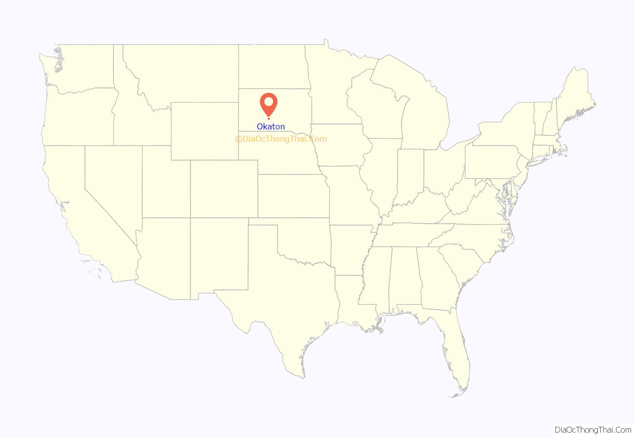
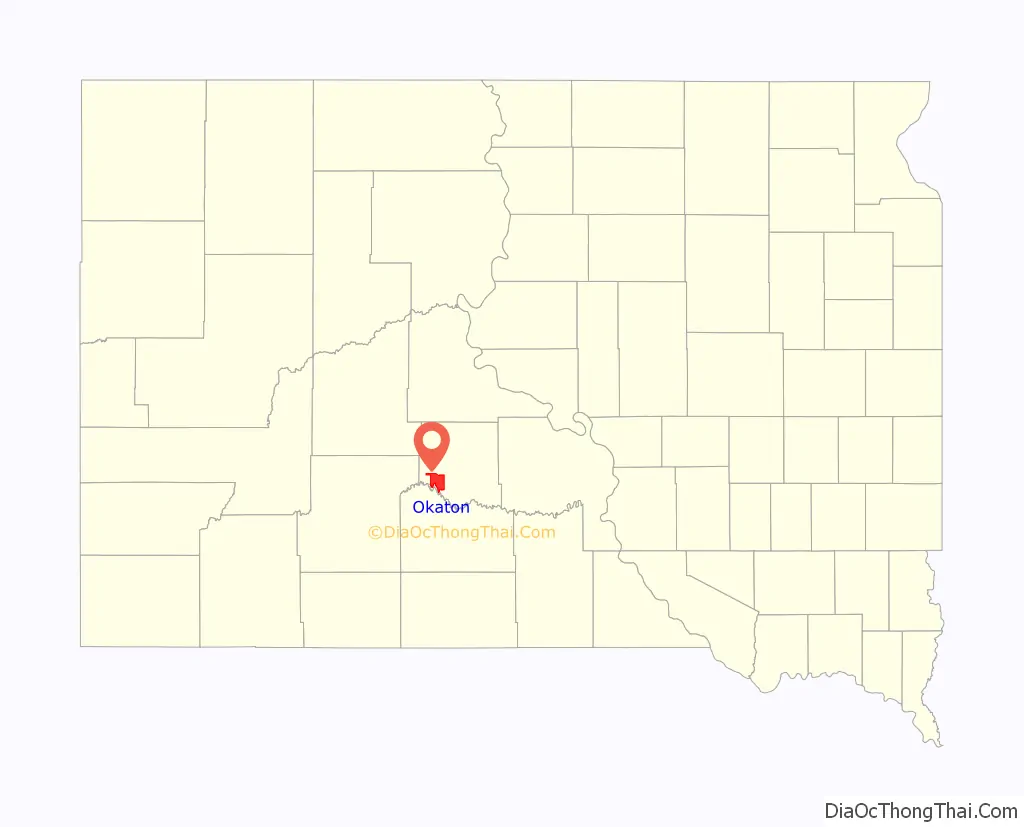
Okaton is a hamlet in Jones County, South Dakota, United States. As of the 2020 census, the population was 31. There are no services or businesses there; Okaton had last been the location of an old-west town exhibit, but it closed when the owner(s) died.
| Name: | Okaton CDP |
|---|---|
| LSAD Code: | 57 |
| LSAD Description: | CDP (suffix) |
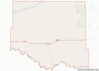
| State: | South Dakota |
| County: | Jones County |
| Total Area: | 29.8 sq mi (77.2 km²) |
| Land Area: | 29.8 sq mi (77.1 km²) |
| Water Area: | 0 sq mi (0.1 km²) |
| Total Population: | 31 |
| Population Density: | 1.2/sq mi (0.47/km²) |
| FIPS code: | 4646620 |
Online Interactive Map
Click on ![]() to view map in "full screen" mode.
to view map in "full screen" mode.
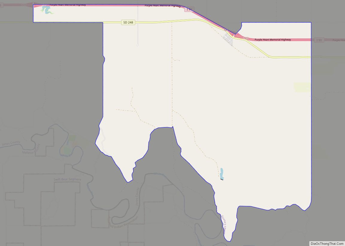
Okaton location map. Where is Okaton CDP?
History
Okaton had its start in 1906 by the building of the Milwaukee Railroad through that territory. It had a post office, but this closed in 2013; postal service is now provided from Murdo. There was also, until recently, a “western town” tourist attraction with a petting zoo and a functioning store. The town’s entire business district had been on the town road furthest from the interstate highway, which bypassed the town; but which was closest to the railroad tracks. The closure of the railroad, followed by the interstate’s placement, largely accounted for the town’s dwindling.
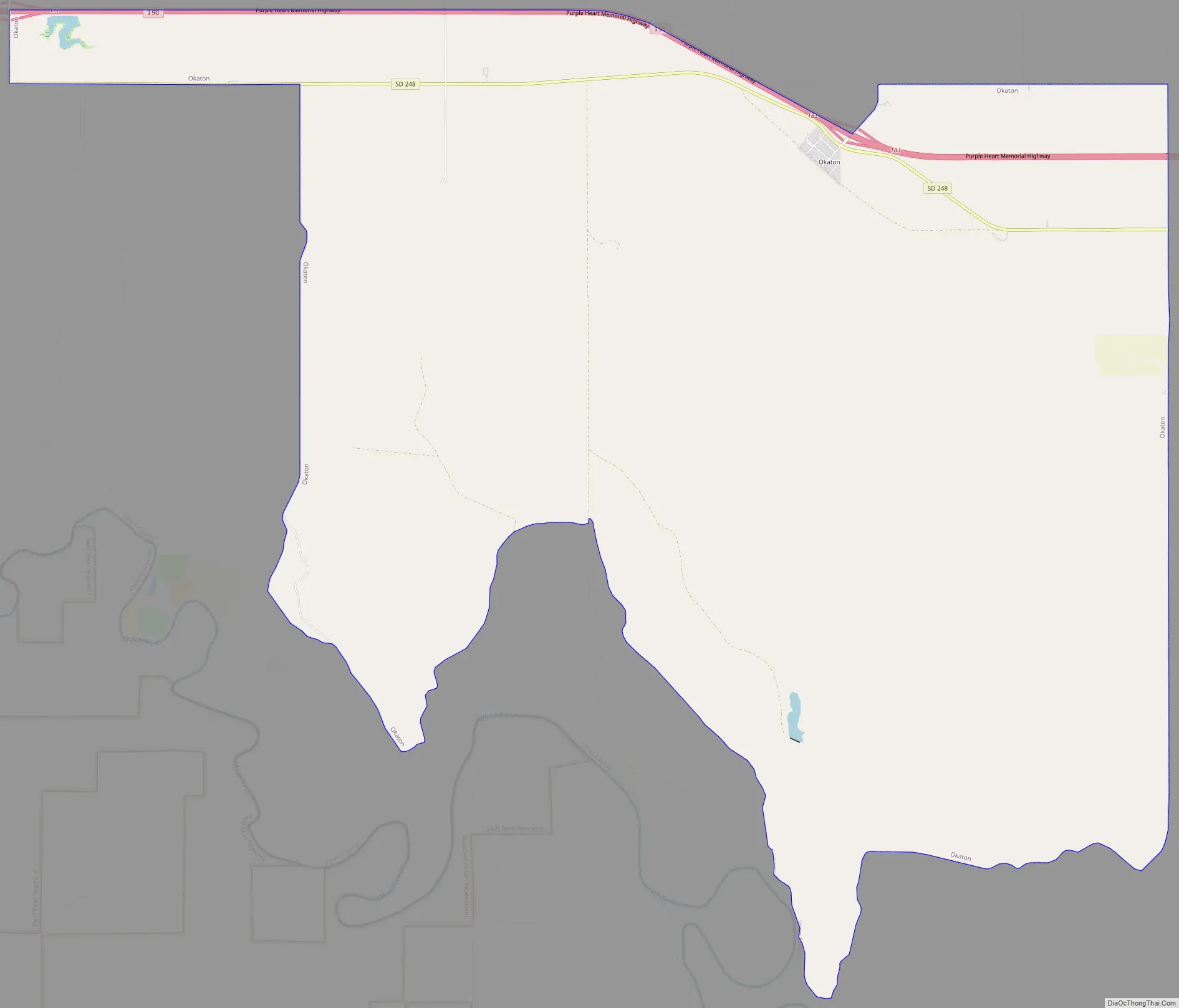
Okaton Road Map
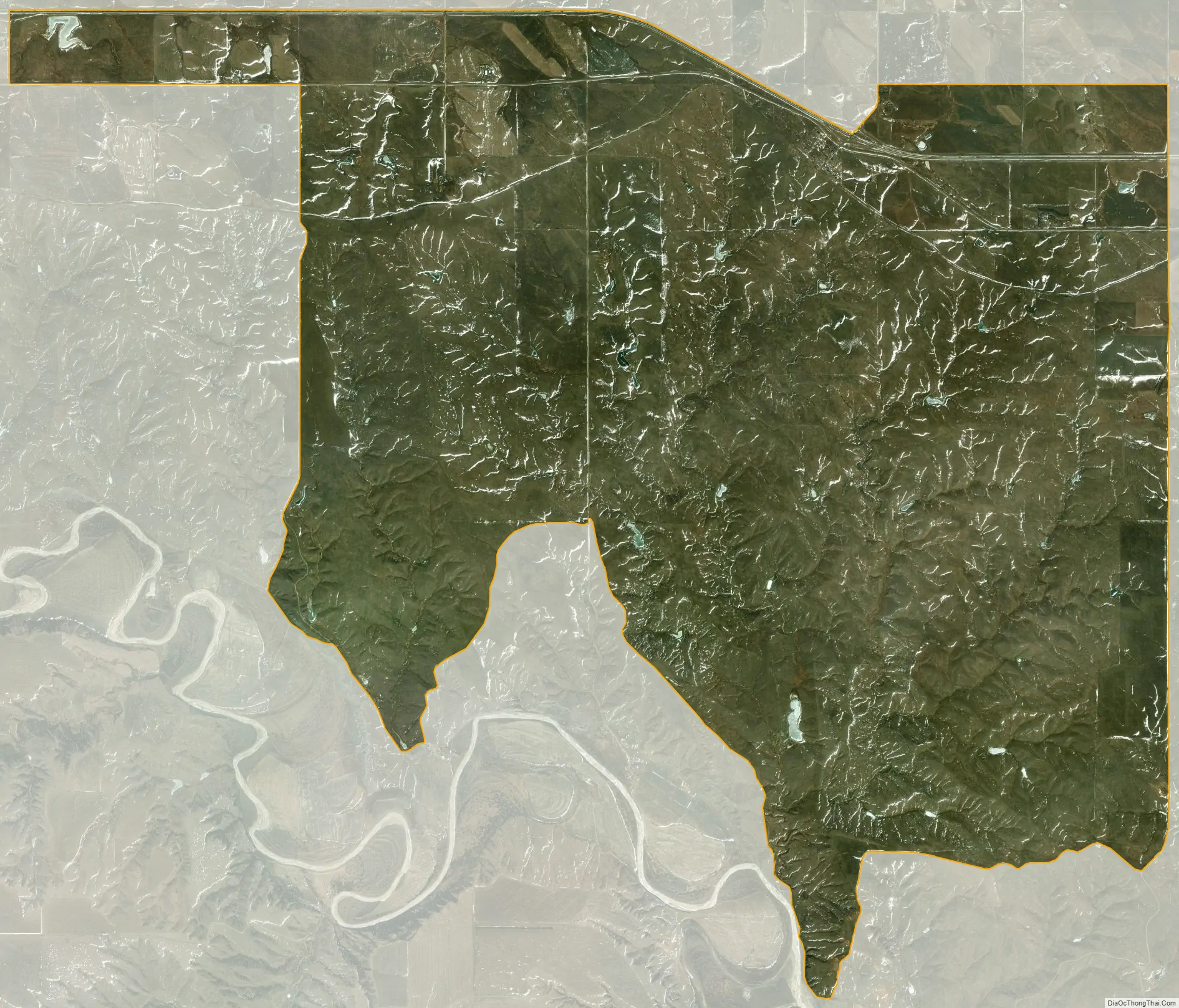
Okaton city Satellite Map
Geography
Okaton is located at 43°53′13″N 100°53′33″W / 43.88694°N 100.89250°W / 43.88694; -100.89250 (43.88706, -100.89239).
According to the United States Census Bureau, Okaton has a total area of 29.8 square miles (77 km), of which 29.8 square miles (77 km) is land and 0.04 square miles (0.10 km) of it (0.10%) is water.
Okaton falls within the territory of ZIP code 57562, based in Murdo, its county seat.
See also
Map of South Dakota State and its subdivision:- Aurora
- Beadle
- Bennett
- Bon Homme
- Brookings
- Brown
- Brule
- Buffalo
- Butte
- Campbell
- Charles Mix
- Clark
- Clay
- Codington
- Corson
- Custer
- Davison
- Day
- Deuel
- Dewey
- Douglas
- Edmunds
- Fall River
- Faulk
- Grant
- Gregory
- Haakon
- Hamlin
- Hand
- Hanson
- Harding
- Hughes
- Hutchinson
- Hyde
- Jackson
- Jerauld
- Jones
- Kingsbury
- Lake
- Lawrence
- Lincoln
- Lyman
- Marshall
- McCook
- McPherson
- Meade
- Mellette
- Miner
- Minnehaha
- Moody
- Pennington
- Perkins
- Potter
- Roberts
- Sanborn
- Shannon
- Spink
- Stanley
- Sully
- Todd
- Tripp
- Turner
- Union
- Walworth
- Yankton
- Ziebach
- Alabama
- Alaska
- Arizona
- Arkansas
- California
- Colorado
- Connecticut
- Delaware
- District of Columbia
- Florida
- Georgia
- Hawaii
- Idaho
- Illinois
- Indiana
- Iowa
- Kansas
- Kentucky
- Louisiana
- Maine
- Maryland
- Massachusetts
- Michigan
- Minnesota
- Mississippi
- Missouri
- Montana
- Nebraska
- Nevada
- New Hampshire
- New Jersey
- New Mexico
- New York
- North Carolina
- North Dakota
- Ohio
- Oklahoma
- Oregon
- Pennsylvania
- Rhode Island
- South Carolina
- South Dakota
- Tennessee
- Texas
- Utah
- Vermont
- Virginia
- Washington
- West Virginia
- Wisconsin
- Wyoming