Pukwana is a town in Brule County, South Dakota, United States. The population was 233 at the 2020 census.
Pukwana was laid out in 1881.
In 1955, the local residents made a push to get the new Brule County Courthouse relocated to town, however the city of Chamberlain managed to keep it after battling petitions were made.
| Name: | Pukwana town |
|---|---|
| LSAD Code: | 43 |
| LSAD Description: | town (suffix) |
| State: | South Dakota |
| County: | Brule County |
| Founded: | 1881 |
| Elevation: | 1,558 ft (475 m) |
| Total Area: | 0.77 sq mi (1.99 km²) |
| Land Area: | 0.77 sq mi (1.99 km²) |
| Water Area: | 0.00 sq mi (0.00 km²) |
| Total Population: | 233 |
| Population Density: | 303.78/sq mi (117.34/km²) |
| ZIP code: | 57370 |
| Area code: | 605 |
| FIPS code: | 4652220 |
| GNISfeature ID: | 1257243 |
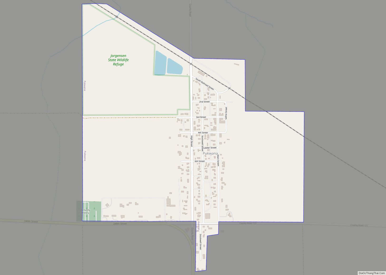
Online Interactive Map
Click on ![]() to view map in "full screen" mode.
to view map in "full screen" mode.
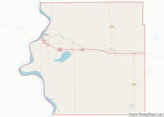
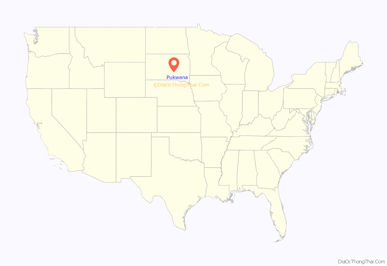
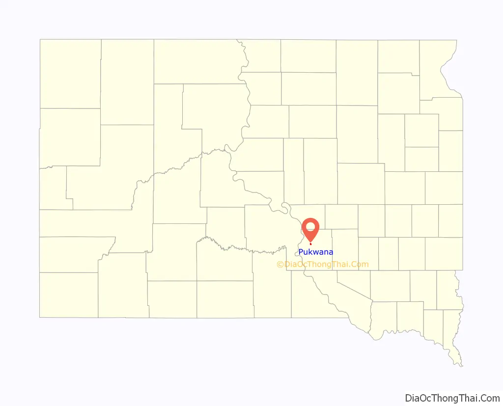
Pukwana location map. Where is Pukwana town?
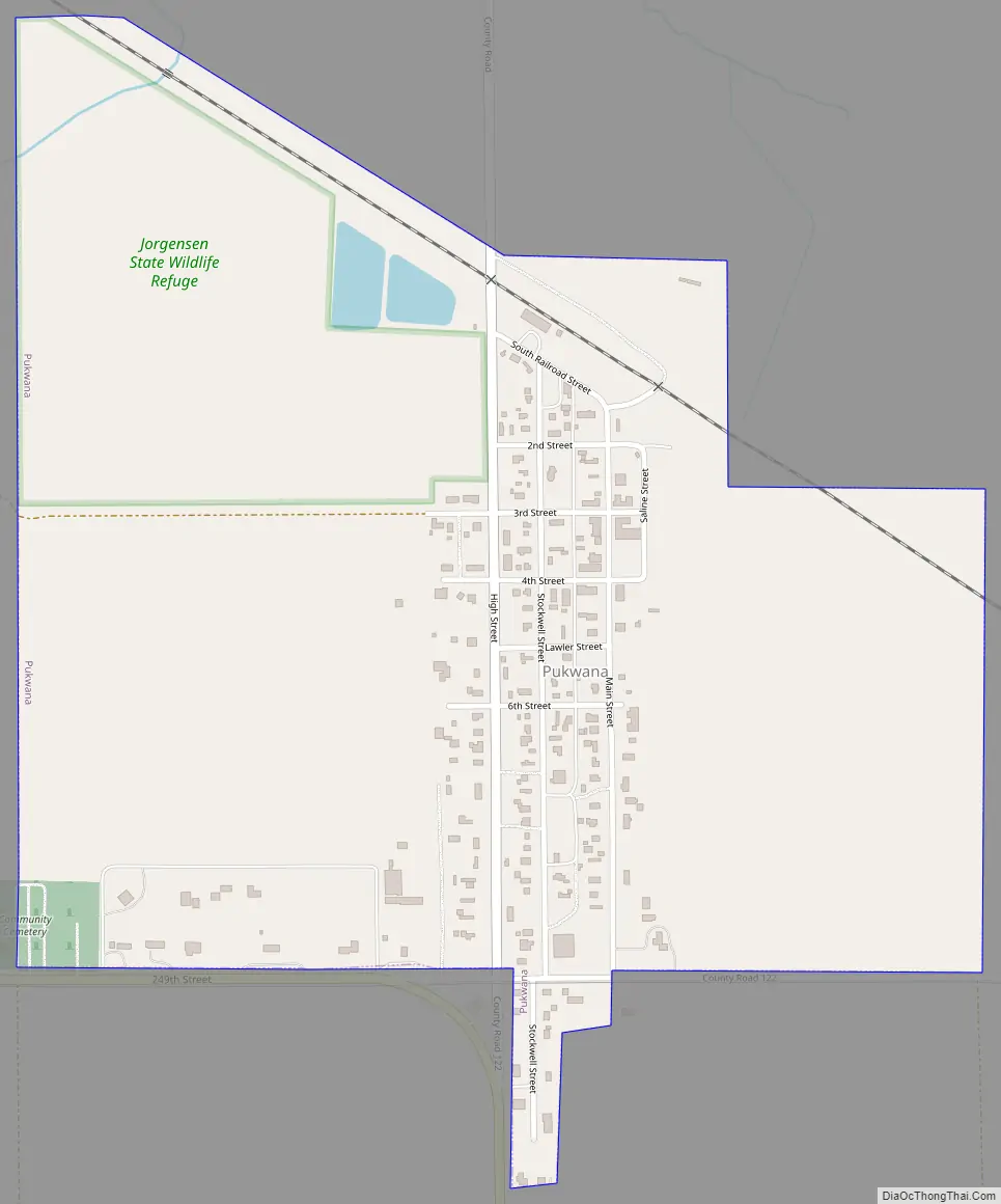
Pukwana Road Map
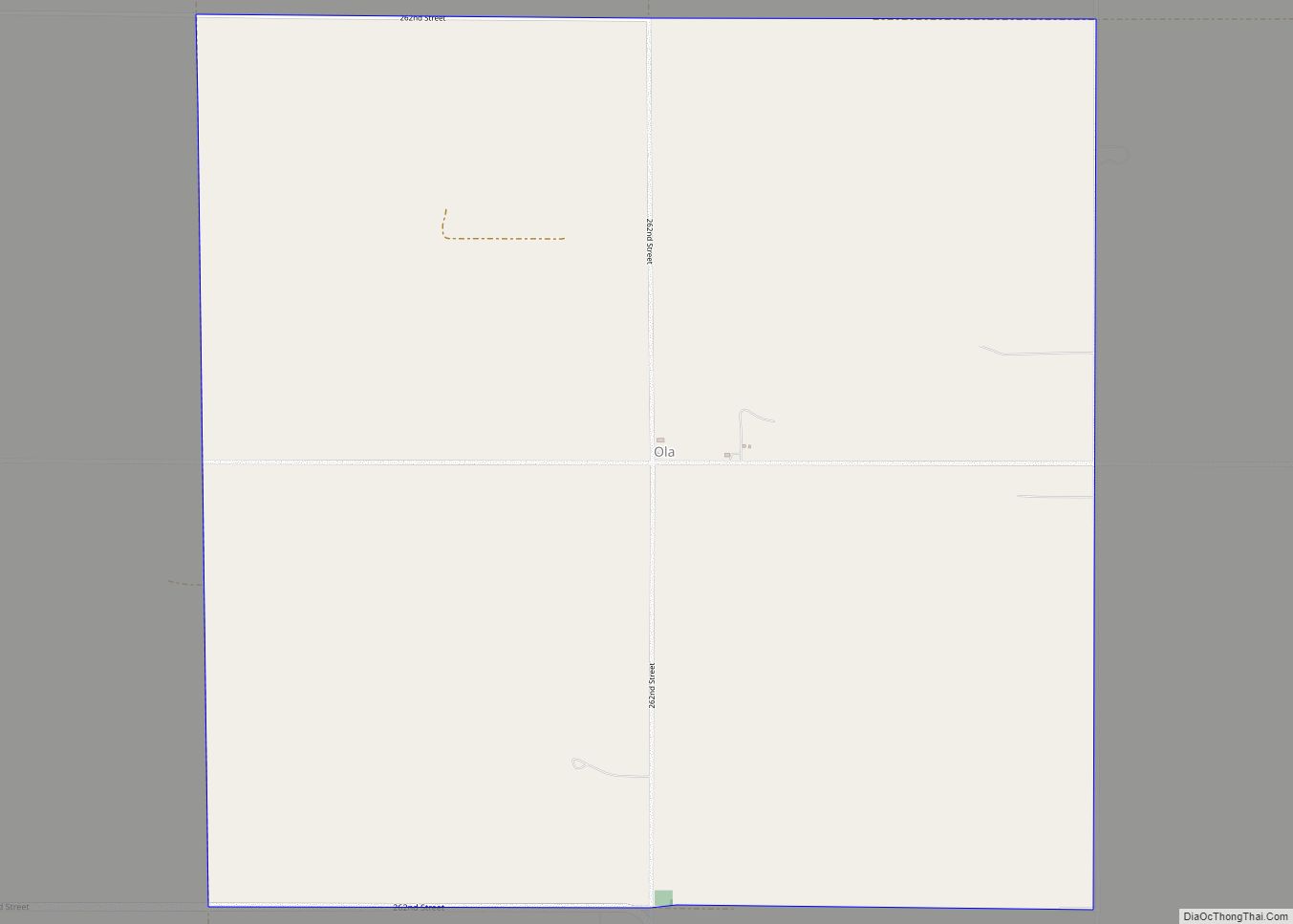
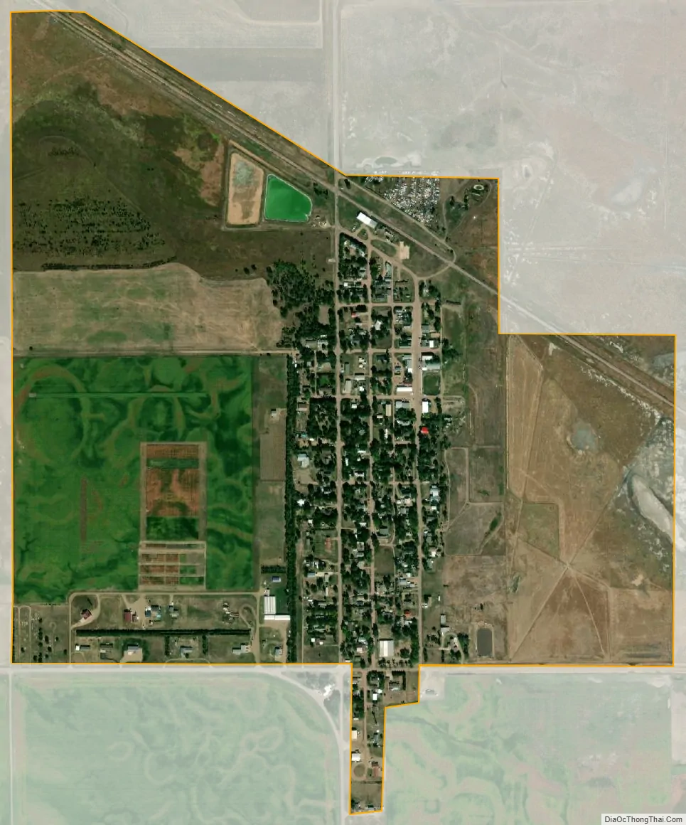
Pukwana city Satellite Map
Geography
Pukwana is located at 43°46′44″N 99°10′58″W / 43.77889°N 99.18278°W / 43.77889; -99.18278 (43.778940, -99.182743).
According to the United States Census Bureau, the town has a total area of 0.76 square miles (1.97 km), all land.
Pukwana has been assigned the ZIP code 57370 and the FIPS place code 52220.
See also
Map of South Dakota State and its subdivision:- Aurora
- Beadle
- Bennett
- Bon Homme
- Brookings
- Brown
- Brule
- Buffalo
- Butte
- Campbell
- Charles Mix
- Clark
- Clay
- Codington
- Corson
- Custer
- Davison
- Day
- Deuel
- Dewey
- Douglas
- Edmunds
- Fall River
- Faulk
- Grant
- Gregory
- Haakon
- Hamlin
- Hand
- Hanson
- Harding
- Hughes
- Hutchinson
- Hyde
- Jackson
- Jerauld
- Jones
- Kingsbury
- Lake
- Lawrence
- Lincoln
- Lyman
- Marshall
- McCook
- McPherson
- Meade
- Mellette
- Miner
- Minnehaha
- Moody
- Pennington
- Perkins
- Potter
- Roberts
- Sanborn
- Shannon
- Spink
- Stanley
- Sully
- Todd
- Tripp
- Turner
- Union
- Walworth
- Yankton
- Ziebach
- Alabama
- Alaska
- Arizona
- Arkansas
- California
- Colorado
- Connecticut
- Delaware
- District of Columbia
- Florida
- Georgia
- Hawaii
- Idaho
- Illinois
- Indiana
- Iowa
- Kansas
- Kentucky
- Louisiana
- Maine
- Maryland
- Massachusetts
- Michigan
- Minnesota
- Mississippi
- Missouri
- Montana
- Nebraska
- Nevada
- New Hampshire
- New Jersey
- New Mexico
- New York
- North Carolina
- North Dakota
- Ohio
- Oklahoma
- Oregon
- Pennsylvania
- Rhode Island
- South Carolina
- South Dakota
- Tennessee
- Texas
- Utah
- Vermont
- Virginia
- Washington
- West Virginia
- Wisconsin
- Wyoming