Quinn is a town in Pennington County, South Dakota, United States. The population was 63 at the 2020 census. The town is the home of the Badlands Observatory, located in the former community hospital, built in 1950.
| Name: | Quinn town |
|---|---|
| LSAD Code: | 43 |
| LSAD Description: | town (suffix) |
| State: | South Dakota |
| County: | Pennington County |
| Founded: | 1907 |
| Incorporated: | 1920 |
| Elevation: | 2,612 ft (796 m) |
| Total Area: | 1.20 sq mi (3.11 km²) |
| Land Area: | 1.20 sq mi (3.11 km²) |
| Water Area: | 0.00 sq mi (0.00 km²) |
| Total Population: | 63 |
| Population Density: | 52.50/sq mi (20.27/km²) |
| ZIP code: | 57775 |
| Area code: | 605 |
| FIPS code: | 4652500 |
| GNISfeature ID: | 1262249 |
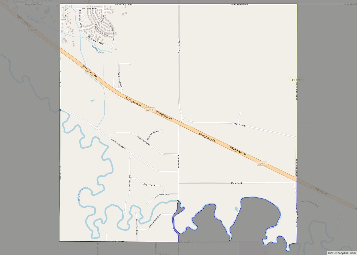
Online Interactive Map
Click on ![]() to view map in "full screen" mode.
to view map in "full screen" mode.
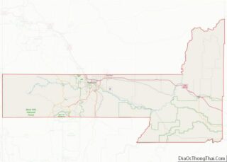
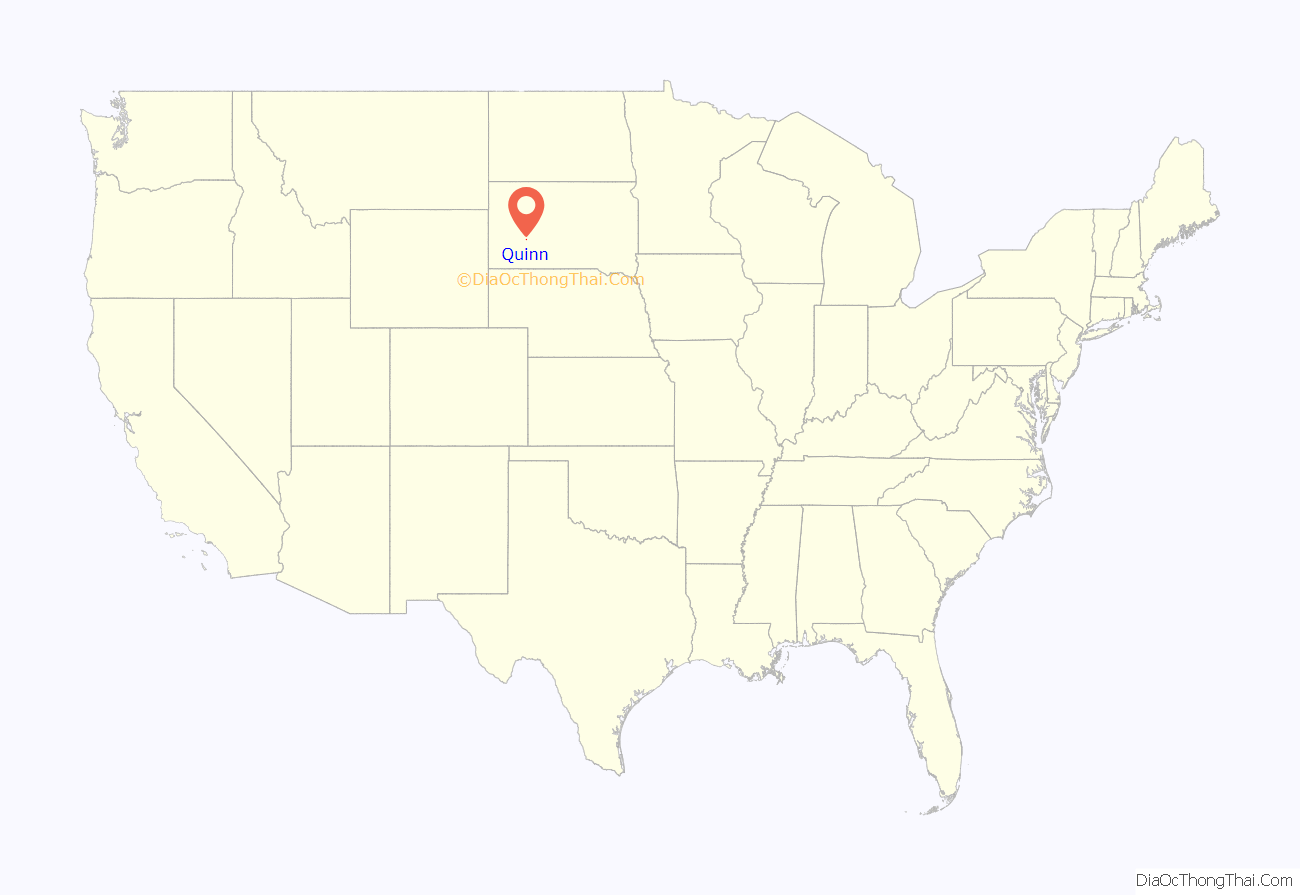
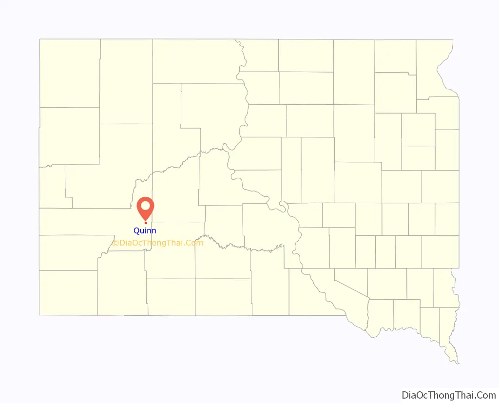
Quinn location map. Where is Quinn town?
History
Quinn was laid out in 1907. The town was named for Michael Quinn, a local rancher. A post office called Quinn has been in operation since 1907. Quinn Methodist Church is on the National Register of Historic Places.
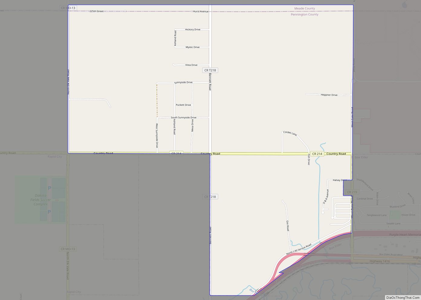
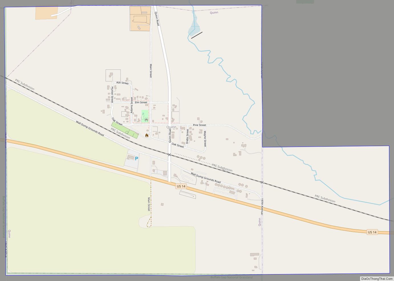
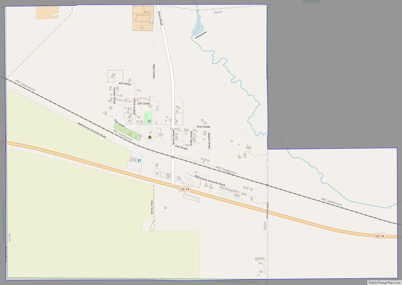
Quinn Road Map
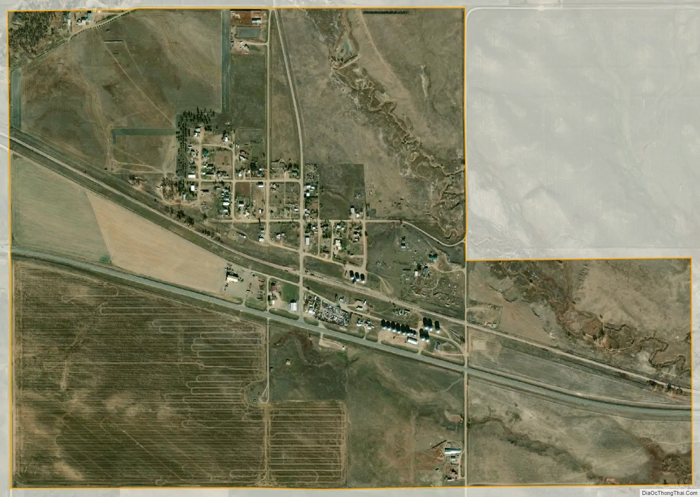
Quinn city Satellite Map
Geography
Quinn is located at 43°59′15″N 102°07′38″W / 43.987562°N 102.127109°W / 43.987562; -102.127109.
According to the United States Census Bureau, the town has a total area of 1.16 square miles (3.00 km), all land.
Quinn has been assigned the ZIP code 57775 and the FIPS place code 52500.
Climate
See also
Map of South Dakota State and its subdivision:- Aurora
- Beadle
- Bennett
- Bon Homme
- Brookings
- Brown
- Brule
- Buffalo
- Butte
- Campbell
- Charles Mix
- Clark
- Clay
- Codington
- Corson
- Custer
- Davison
- Day
- Deuel
- Dewey
- Douglas
- Edmunds
- Fall River
- Faulk
- Grant
- Gregory
- Haakon
- Hamlin
- Hand
- Hanson
- Harding
- Hughes
- Hutchinson
- Hyde
- Jackson
- Jerauld
- Jones
- Kingsbury
- Lake
- Lawrence
- Lincoln
- Lyman
- Marshall
- McCook
- McPherson
- Meade
- Mellette
- Miner
- Minnehaha
- Moody
- Pennington
- Perkins
- Potter
- Roberts
- Sanborn
- Shannon
- Spink
- Stanley
- Sully
- Todd
- Tripp
- Turner
- Union
- Walworth
- Yankton
- Ziebach
- Alabama
- Alaska
- Arizona
- Arkansas
- California
- Colorado
- Connecticut
- Delaware
- District of Columbia
- Florida
- Georgia
- Hawaii
- Idaho
- Illinois
- Indiana
- Iowa
- Kansas
- Kentucky
- Louisiana
- Maine
- Maryland
- Massachusetts
- Michigan
- Minnesota
- Mississippi
- Missouri
- Montana
- Nebraska
- Nevada
- New Hampshire
- New Jersey
- New Mexico
- New York
- North Carolina
- North Dakota
- Ohio
- Oklahoma
- Oregon
- Pennsylvania
- Rhode Island
- South Carolina
- South Dakota
- Tennessee
- Texas
- Utah
- Vermont
- Virginia
- Washington
- West Virginia
- Wisconsin
- Wyoming