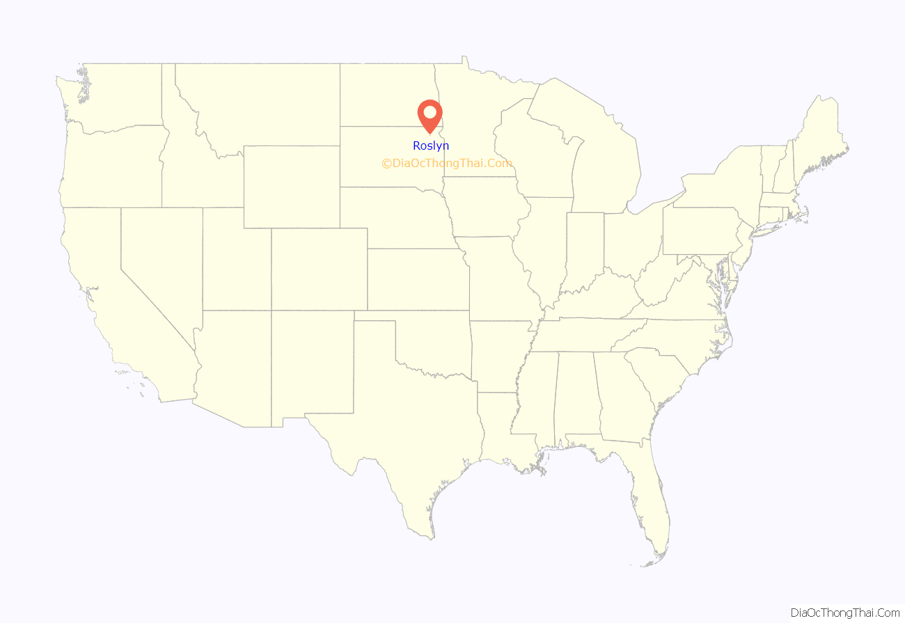
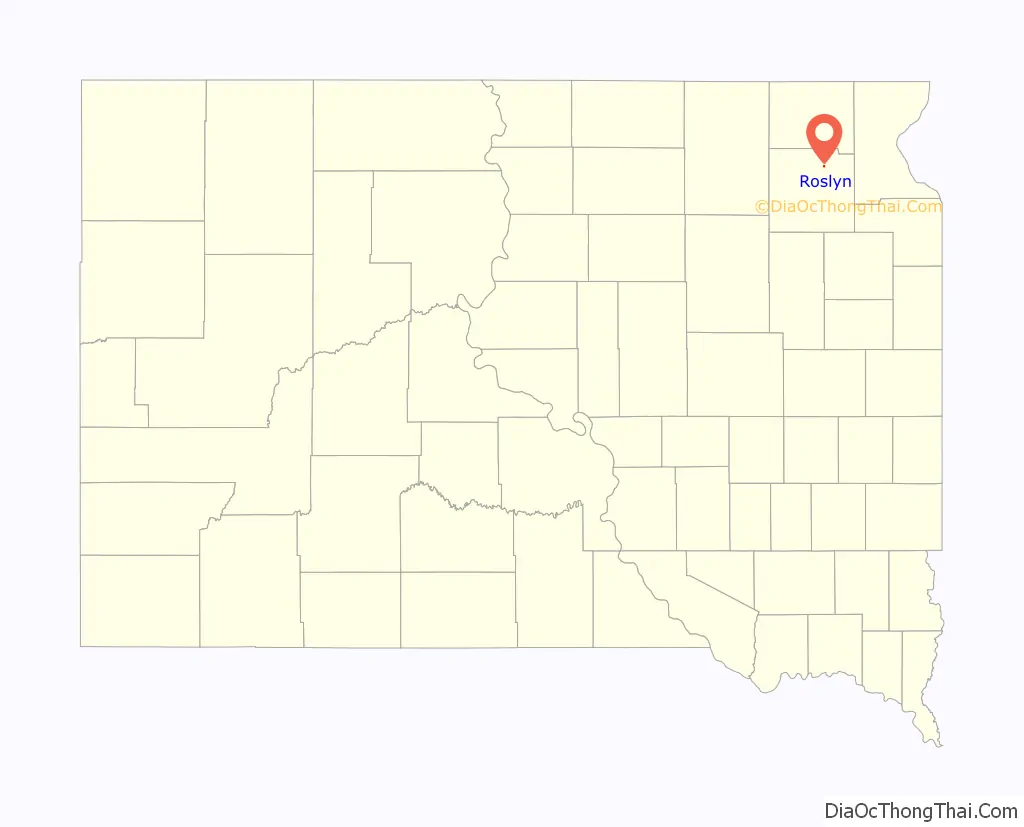
Roslyn is a town in northern Day County, South Dakota, United States. The population was 181 at the 2020 census.
| Name: | Roslyn town |
|---|---|
| LSAD Code: | 43 |
| LSAD Description: | town (suffix) |
| State: | South Dakota |
| County: | Day County |
| Incorporated: | 1914 |
| Elevation: | 1,864 ft (568 m) |
| Total Area: | 0.22 sq mi (0.56 km²) |
| Land Area: | 0.22 sq mi (0.56 km²) |
| Water Area: | 0.00 sq mi (0.00 km²) |
| Total Population: | 181 |
| Population Density: | 830.28/sq mi (320.42/km²) |
| ZIP code: | 57261 |
| Area code: | 605 |
| FIPS code: | 4656380 |
| GNISfeature ID: | 1257490 |
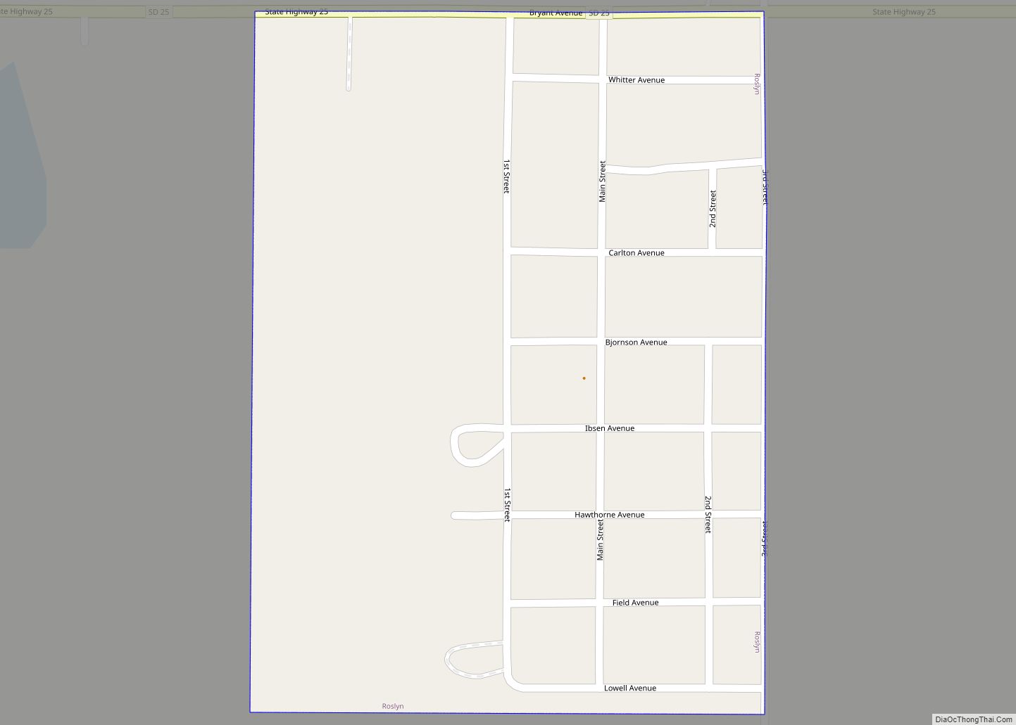
Online Interactive Map
Click on ![]() to view map in "full screen" mode.
to view map in "full screen" mode.
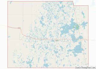
Roslyn location map. Where is Roslyn town?
History
“Roslyn received its name from Old Roslyn, which was a post office and trading point established in 1882. H.H. Russell, the first postmaster, took the name Roslyn from his native city in Scotland.” Another source states the name Roslyn is an amalgamation of Rosholt and Lynn, the names of two lakes near the town site.
“In 1914, the Soo Line Railroad (Fairmount and Veblen Railway) was being built in the area. In order to secure the line for the community, settlers adjoining the proposed line raised $60,000. The coming of the railroad led to the selection of a new town site. On August 17, 1914, the New Roslyn was plotted and Main Street was established.” Old Roslyn was eventually abandoned.
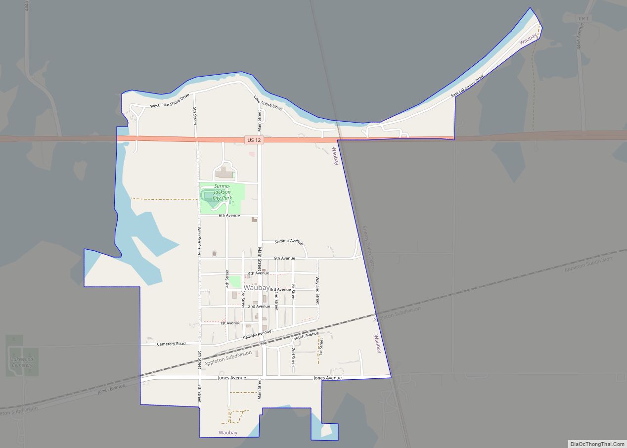
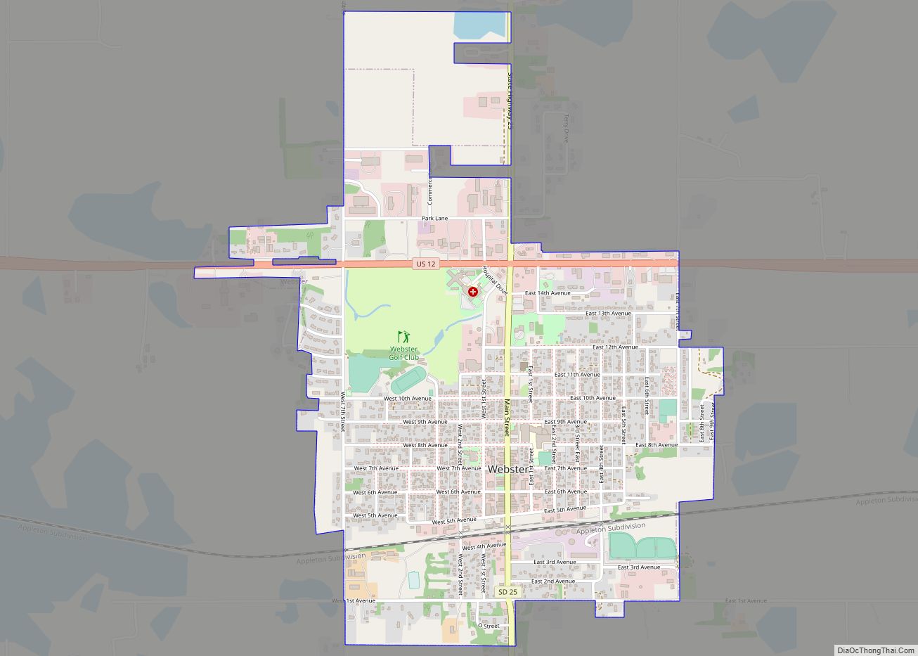
Roslyn Road Map

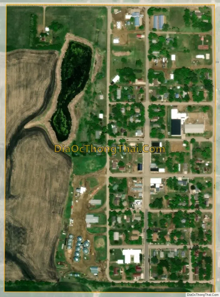
Roslyn city Satellite Map
Geography
Roslyn is located at 45°29′47″N 97°29′27″W / 45.49639°N 97.49083°W / 45.49639; -97.49083 (45.496323, -97.490960).
According to the United States Census Bureau, the town has a total area of 0.20 square miles (0.52 km), all land.
Roslyn has been assigned the ZIP code 57261 and the FIPS place code 56380.
See also
Map of South Dakota State and its subdivision:- Aurora
- Beadle
- Bennett
- Bon Homme
- Brookings
- Brown
- Brule
- Buffalo
- Butte
- Campbell
- Charles Mix
- Clark
- Clay
- Codington
- Corson
- Custer
- Davison
- Day
- Deuel
- Dewey
- Douglas
- Edmunds
- Fall River
- Faulk
- Grant
- Gregory
- Haakon
- Hamlin
- Hand
- Hanson
- Harding
- Hughes
- Hutchinson
- Hyde
- Jackson
- Jerauld
- Jones
- Kingsbury
- Lake
- Lawrence
- Lincoln
- Lyman
- Marshall
- McCook
- McPherson
- Meade
- Mellette
- Miner
- Minnehaha
- Moody
- Pennington
- Perkins
- Potter
- Roberts
- Sanborn
- Shannon
- Spink
- Stanley
- Sully
- Todd
- Tripp
- Turner
- Union
- Walworth
- Yankton
- Ziebach
- Alabama
- Alaska
- Arizona
- Arkansas
- California
- Colorado
- Connecticut
- Delaware
- District of Columbia
- Florida
- Georgia
- Hawaii
- Idaho
- Illinois
- Indiana
- Iowa
- Kansas
- Kentucky
- Louisiana
- Maine
- Maryland
- Massachusetts
- Michigan
- Minnesota
- Mississippi
- Missouri
- Montana
- Nebraska
- Nevada
- New Hampshire
- New Jersey
- New Mexico
- New York
- North Carolina
- North Dakota
- Ohio
- Oklahoma
- Oregon
- Pennsylvania
- Rhode Island
- South Carolina
- South Dakota
- Tennessee
- Texas
- Utah
- Vermont
- Virginia
- Washington
- West Virginia
- Wisconsin
- Wyoming