Wall (Lakota: Makȟóšiča Aglágla Otȟuŋwahe, “Town alongside the Badlands”) is a town in Pennington County, South Dakota, United States. The population was 699 at the 2020 census.
| Name: | Wall town |
|---|---|
| LSAD Code: | 43 |
| LSAD Description: | town (suffix) |
| State: | South Dakota |
| County: | Pennington County |
| Incorporated: | 1908 |
| Elevation: | 2,825 ft (861 m) |
| Total Area: | 2.71 sq mi (7.02 km²) |
| Land Area: | 2.63 sq mi (6.81 km²) |
| Water Area: | 0.08 sq mi (0.21 km²) |
| Total Population: | 699 |
| Population Density: | 265.78/sq mi (102.62/km²) |
| ZIP code: | 57790 |
| Area code: | 605 |
| FIPS code: | 4668380 |
| GNISfeature ID: | 1262653 |
| Website: | https://www.wallsd.us/ |
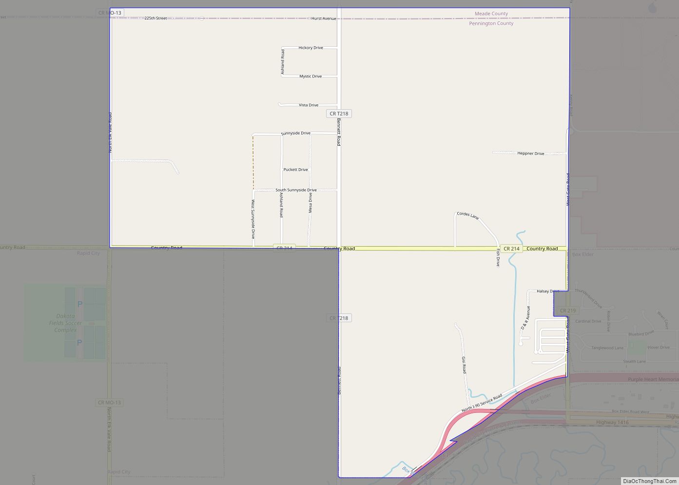
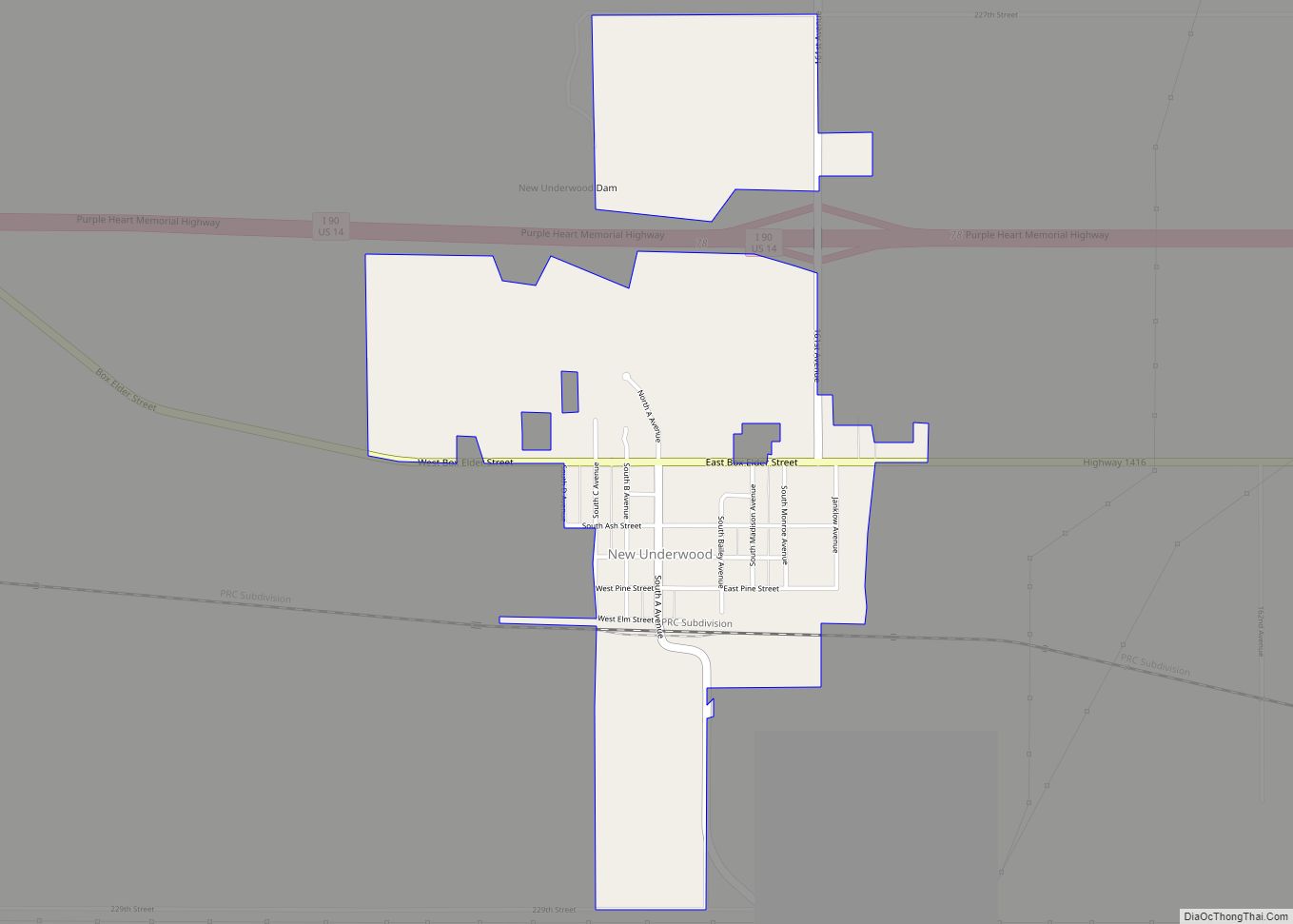
Online Interactive Map
Click on ![]() to view map in "full screen" mode.
to view map in "full screen" mode.
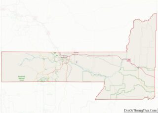
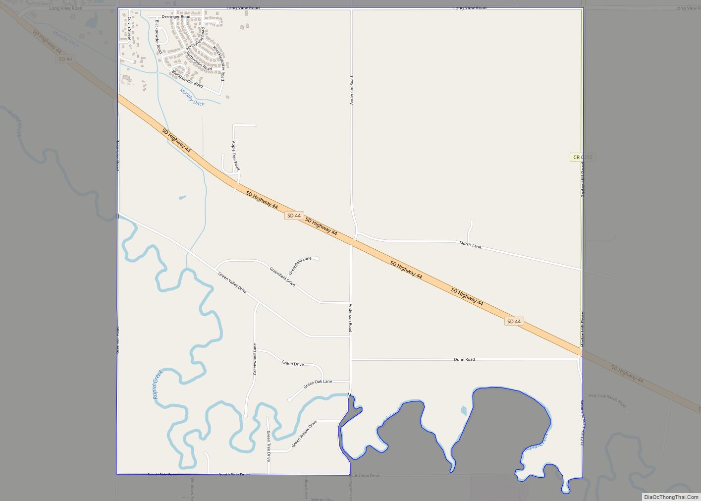
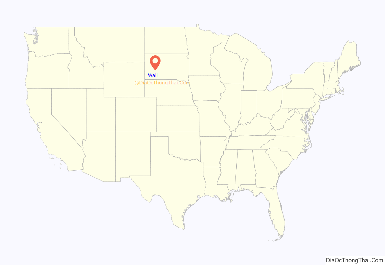
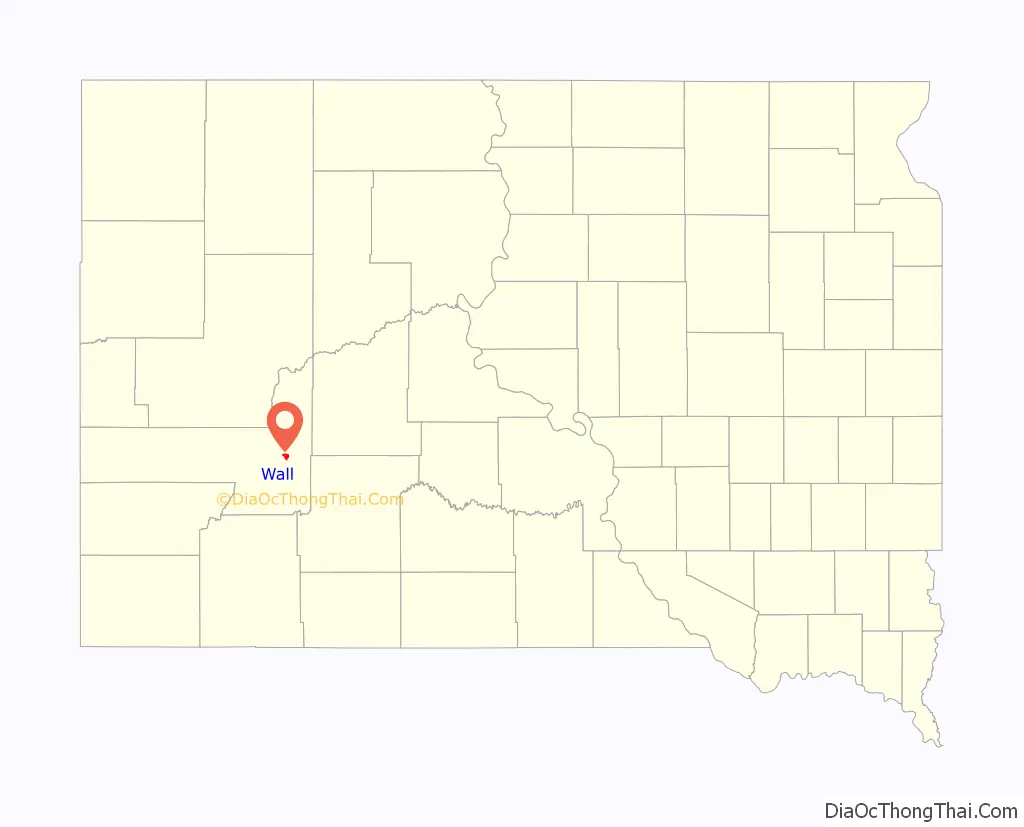
Wall location map. Where is Wall town?
History
Wall was platted in 1907 when the Chicago and North Western Railroad was extended to that point. The town was incorporated in 1908. Wall was named for the “natural wall” in rock formations by the Badlands National Park.
The town is most famous for the Wall Drug Store, which opened as a small pharmacy in 1931 during the Depression, but eventually developed into a large roadside tourist attraction.
The National Grasslands Visitor Center is also located in Wall.
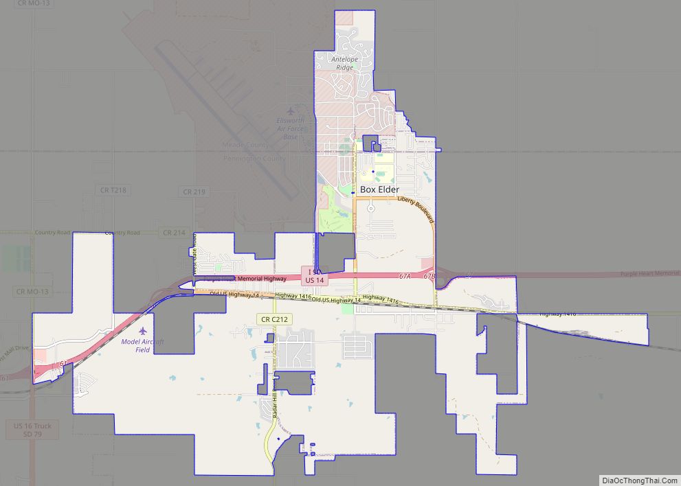
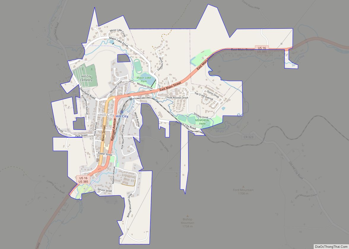
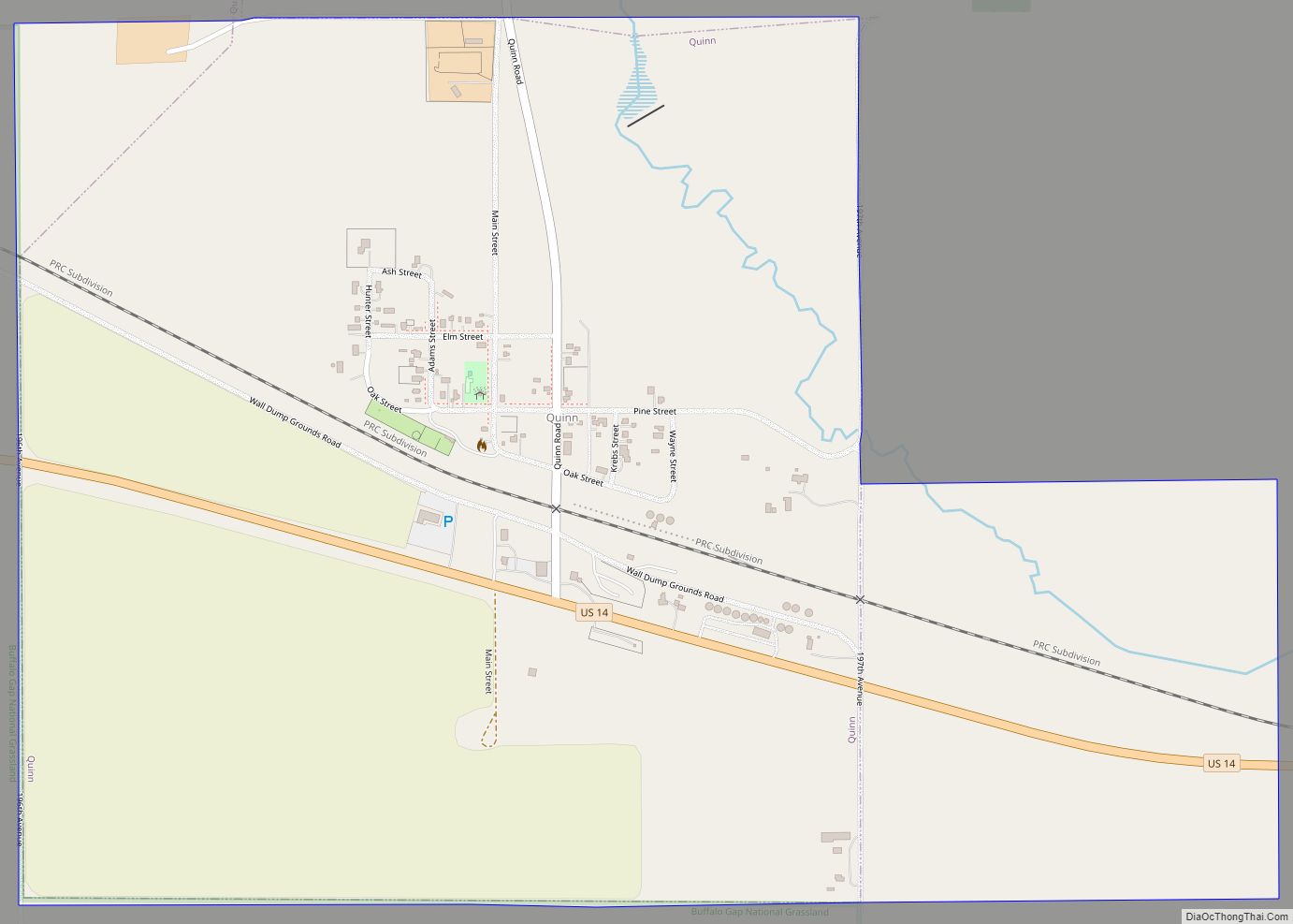
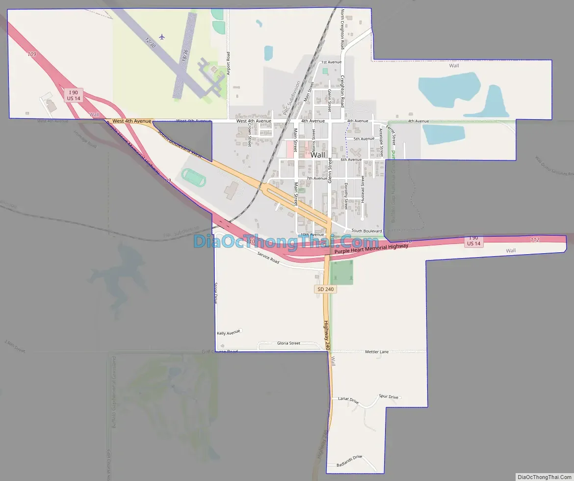
Wall Road Map
Wall city Satellite Map
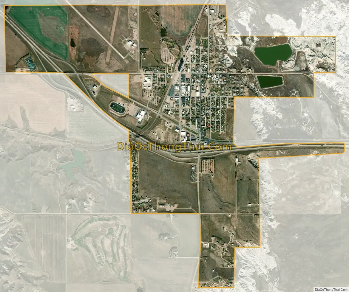
Geography
Wall is located at 43°59′N 102°14′W / 43.99°N 102.24°W / 43.99; -102.24.
According to the United States Census Bureau, the town has a total area of 2.22 square miles (5.75 km), of which 2.17 square miles (5.62 km) is land and 0.05 square miles (0.13 km) is water.
Wall has been assigned the ZIP code 57790 and the FIPS place code 68380.
See also
Map of South Dakota State and its subdivision:- Aurora
- Beadle
- Bennett
- Bon Homme
- Brookings
- Brown
- Brule
- Buffalo
- Butte
- Campbell
- Charles Mix
- Clark
- Clay
- Codington
- Corson
- Custer
- Davison
- Day
- Deuel
- Dewey
- Douglas
- Edmunds
- Fall River
- Faulk
- Grant
- Gregory
- Haakon
- Hamlin
- Hand
- Hanson
- Harding
- Hughes
- Hutchinson
- Hyde
- Jackson
- Jerauld
- Jones
- Kingsbury
- Lake
- Lawrence
- Lincoln
- Lyman
- Marshall
- McCook
- McPherson
- Meade
- Mellette
- Miner
- Minnehaha
- Moody
- Pennington
- Perkins
- Potter
- Roberts
- Sanborn
- Shannon
- Spink
- Stanley
- Sully
- Todd
- Tripp
- Turner
- Union
- Walworth
- Yankton
- Ziebach
- Alabama
- Alaska
- Arizona
- Arkansas
- California
- Colorado
- Connecticut
- Delaware
- District of Columbia
- Florida
- Georgia
- Hawaii
- Idaho
- Illinois
- Indiana
- Iowa
- Kansas
- Kentucky
- Louisiana
- Maine
- Maryland
- Massachusetts
- Michigan
- Minnesota
- Mississippi
- Missouri
- Montana
- Nebraska
- Nevada
- New Hampshire
- New Jersey
- New Mexico
- New York
- North Carolina
- North Dakota
- Ohio
- Oklahoma
- Oregon
- Pennsylvania
- Rhode Island
- South Carolina
- South Dakota
- Tennessee
- Texas
- Utah
- Vermont
- Virginia
- Washington
- West Virginia
- Wisconsin
- Wyoming