Wanblee (Lakota: Waŋblí Hoȟpi; “Golden Eagle Nest”) is a census-designated place on the Pine Ridge Indian Reservation, located in Jackson County, South Dakota, United States. The population was 674 at the 2020 census, virtually all of whom are members of the Oglala band of Lakota Sioux. Wanbli is the Lakota word for eagle, and the town was named for its proximity to Wanbli hohpi paha (Eagle Nest Butte). Wanblee is a few miles directly northeast of the North American continental pole of inaccessibility.
The 1992 movie Thunderheart was partly filmed in Wanblee. It appeared as an unnamed town on the fictional Bear Creek Reservation, for which is actually located on the Pine Ridge Indian Reservation.
| Name: | Wanblee CDP |
|---|---|
| LSAD Code: | 57 |
| LSAD Description: | CDP (suffix) |
| State: | South Dakota |
| County: | Jackson County |
| Elevation: | 2,638 ft (804 m) |
| Total Area: | 2.02 sq mi (5.23 km²) |
| Land Area: | 2.01 sq mi (5.21 km²) |
| Water Area: | 0.01 sq mi (0.02 km²) |
| Total Population: | 674 |
| Population Density: | 334.82/sq mi (129.25/km²) |
| ZIP code: | 57577 |
| Area code: | 605 |
| FIPS code: | 4668580 |
| GNISfeature ID: | 1267247 |
Online Interactive Map
Click on ![]() to view map in "full screen" mode.
to view map in "full screen" mode.
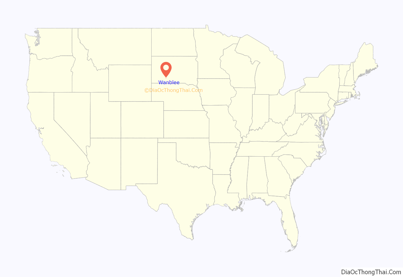
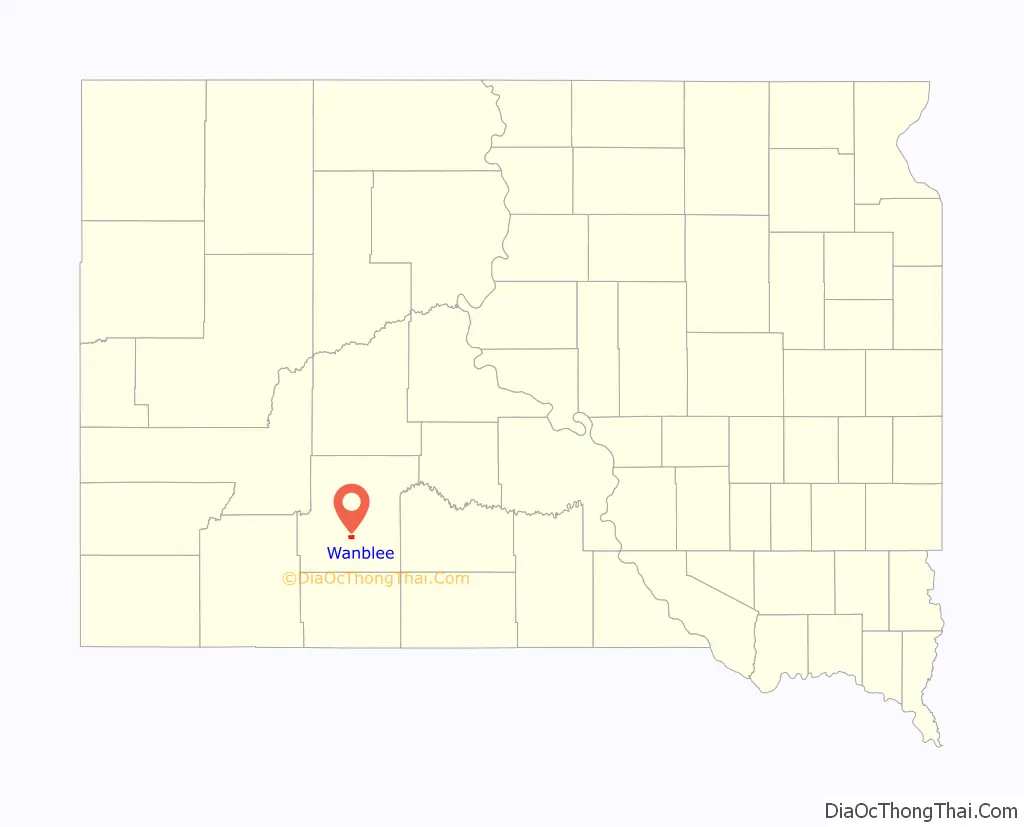
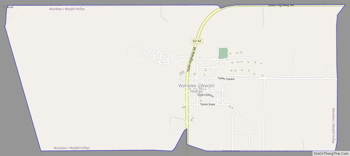
Wanblee location map. Where is Wanblee CDP?
Wanblee Road Map
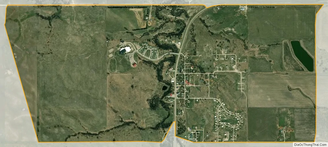
Wanblee city Satellite Map
Geography
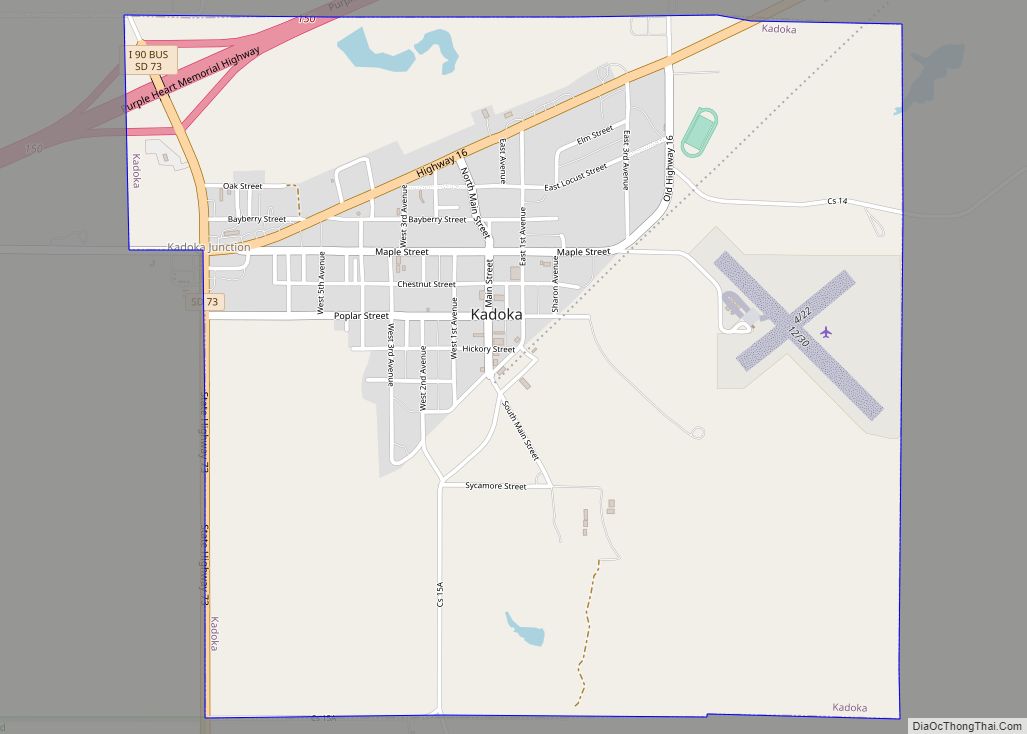
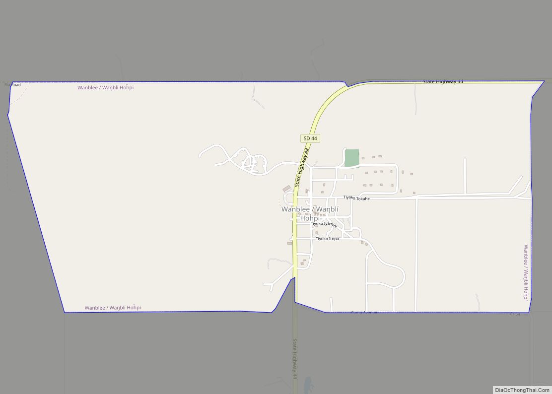
Wanblee is located in south-central Jackson County at 43°34′12″N 101°39′34″W / 43.57000°N 101.65944°W / 43.57000; -101.65944 (43.569908, -101.659567). South Dakota Highway 44 passes through the community, leading east 47 miles (76 km) to White River and northwest 28 miles (45 km) to Interior. Kadoka is 28 miles to the northeast via Highways 44 and 73.
According to the United States Census Bureau, the Wanblee CDP has a total area of 2.2 square miles (5.6 km), of which 0.01 square miles (0.02 km), or 0.31%, are water. Craven Creek runs through the west side of the community, leading north to the White River.
Wanblee has been assigned the ZIP code 57577.
See also
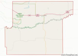
Map of South Dakota State and its subdivision:- Aurora
- Beadle
- Bennett
- Bon Homme
- Brookings
- Brown
- Brule
- Buffalo
- Butte
- Campbell
- Charles Mix
- Clark
- Clay
- Codington
- Corson
- Custer
- Davison
- Day
- Deuel
- Dewey
- Douglas
- Edmunds
- Fall River
- Faulk
- Grant
- Gregory
- Haakon
- Hamlin
- Hand
- Hanson
- Harding
- Hughes
- Hutchinson
- Hyde
- Jackson
- Jerauld
- Jones
- Kingsbury
- Lake
- Lawrence
- Lincoln
- Lyman
- Marshall
- McCook
- McPherson
- Meade
- Mellette
- Miner
- Minnehaha
- Moody
- Pennington
- Perkins
- Potter
- Roberts
- Sanborn
- Shannon
- Spink
- Stanley
- Sully
- Todd
- Tripp
- Turner
- Union
- Walworth
- Yankton
- Ziebach
- Alabama
- Alaska
- Arizona
- Arkansas
- California
- Colorado
- Connecticut
- Delaware
- District of Columbia
- Florida
- Georgia
- Hawaii
- Idaho
- Illinois
- Indiana
- Iowa
- Kansas
- Kentucky
- Louisiana
- Maine
- Maryland
- Massachusetts
- Michigan
- Minnesota
- Mississippi
- Missouri
- Montana
- Nebraska
- Nevada
- New Hampshire
- New Jersey
- New Mexico
- New York
- North Carolina
- North Dakota
- Ohio
- Oklahoma
- Oregon
- Pennsylvania
- Rhode Island
- South Carolina
- South Dakota
- Tennessee
- Texas
- Utah
- Vermont
- Virginia
- Washington
- West Virginia
- Wisconsin
- Wyoming