Waubay is a city in Day County, South Dakota, United States. The population was 473 at the 2020 census.
Waubay had its start in the early 1880s when the railroad was extended to that point.
The school district is Waubay Public 18-3. The local newspaper is the oldest business in town, called the Waubay Clipper.
| Name: | Waubay city |
|---|---|
| LSAD Code: | 25 |
| LSAD Description: | city (suffix) |
| State: | South Dakota |
| County: | Day County |
| Incorporated: | 1895 |
| Elevation: | 1,818 ft (554 m) |
| Total Area: | 1.46 sq mi (3.77 km²) |
| Land Area: | 1.46 sq mi (3.77 km²) |
| Water Area: | 0.00 sq mi (0.00 km²) |
| Total Population: | 473 |
| Population Density: | 324.86/sq mi (125.46/km²) |
| ZIP code: | 57273 |
| Area code: | 605 |
| FIPS code: | 4669340 |
| GNISfeature ID: | 1265711 |
Online Interactive Map
Click on ![]() to view map in "full screen" mode.
to view map in "full screen" mode.
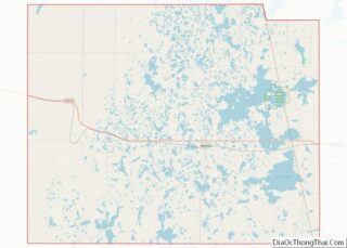
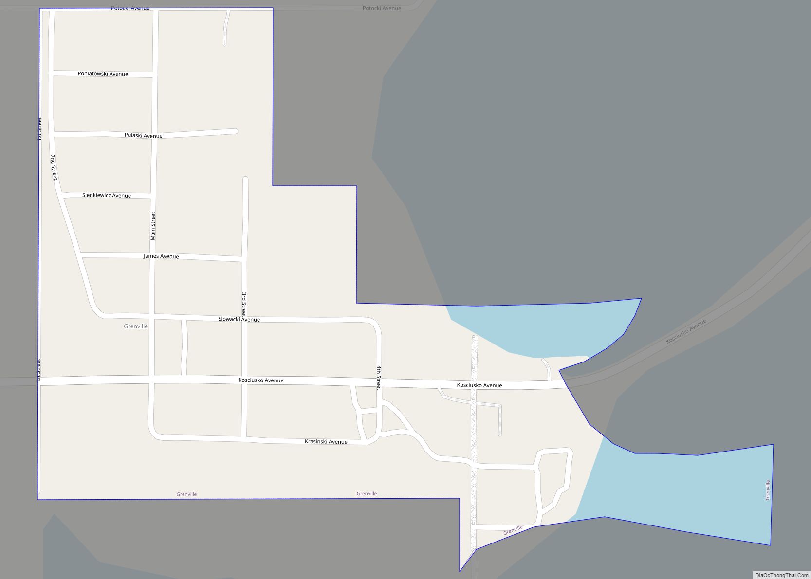
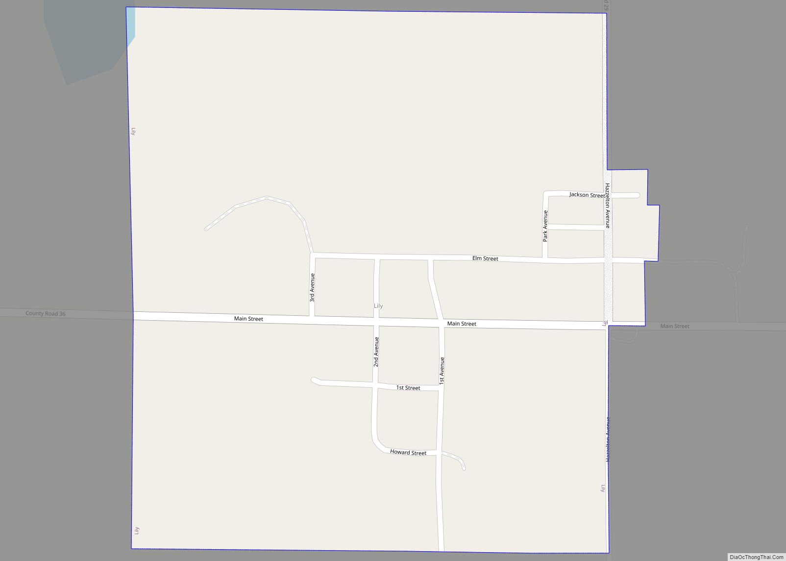
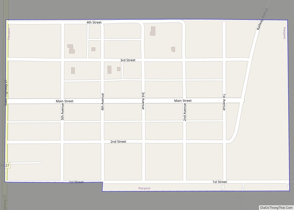
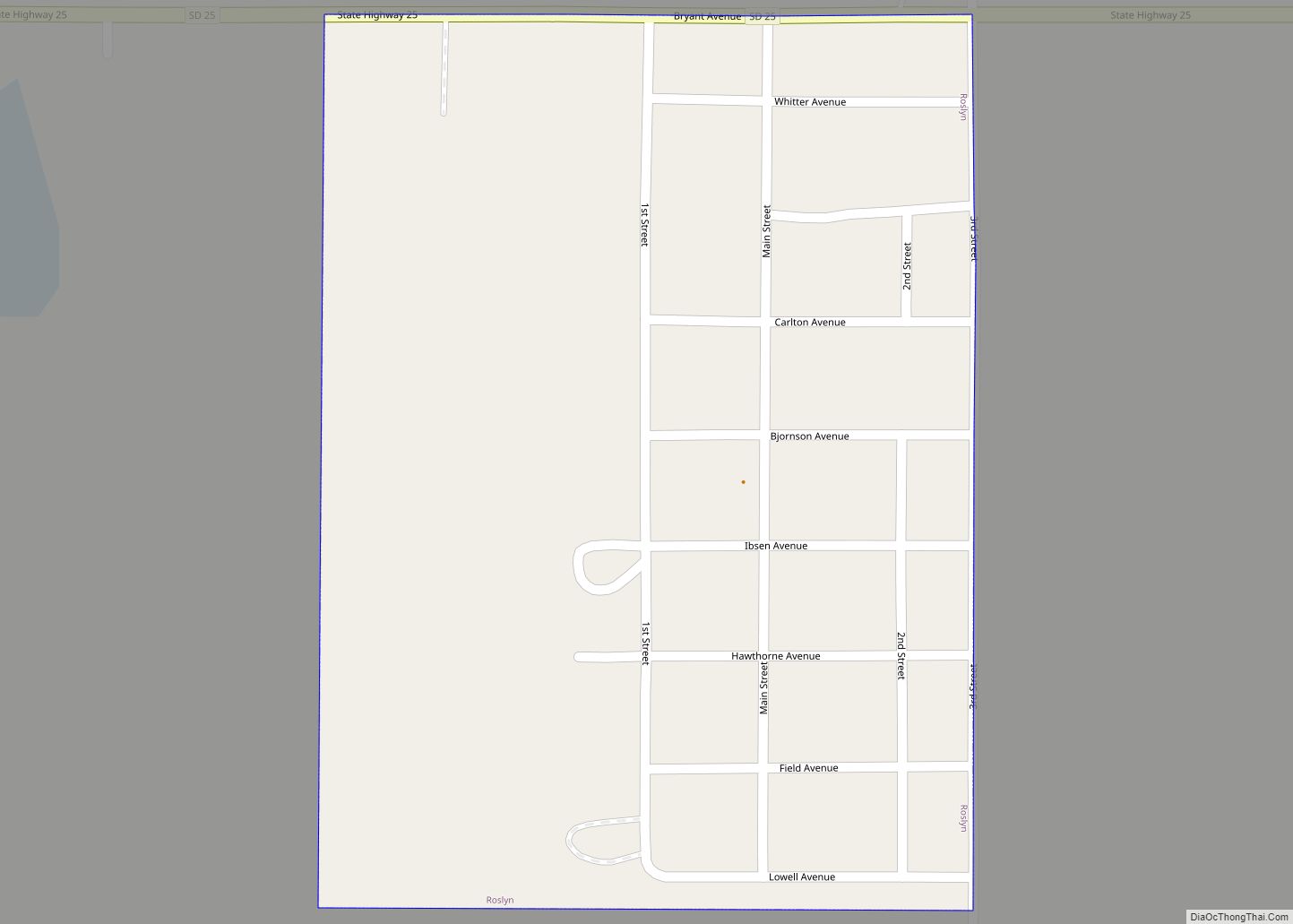
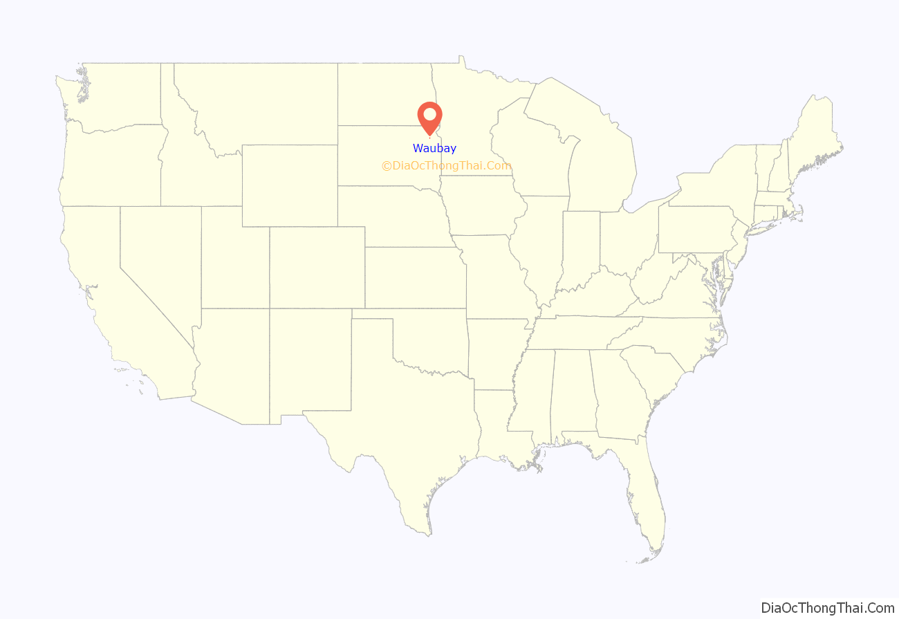
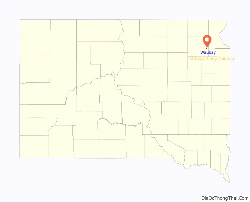
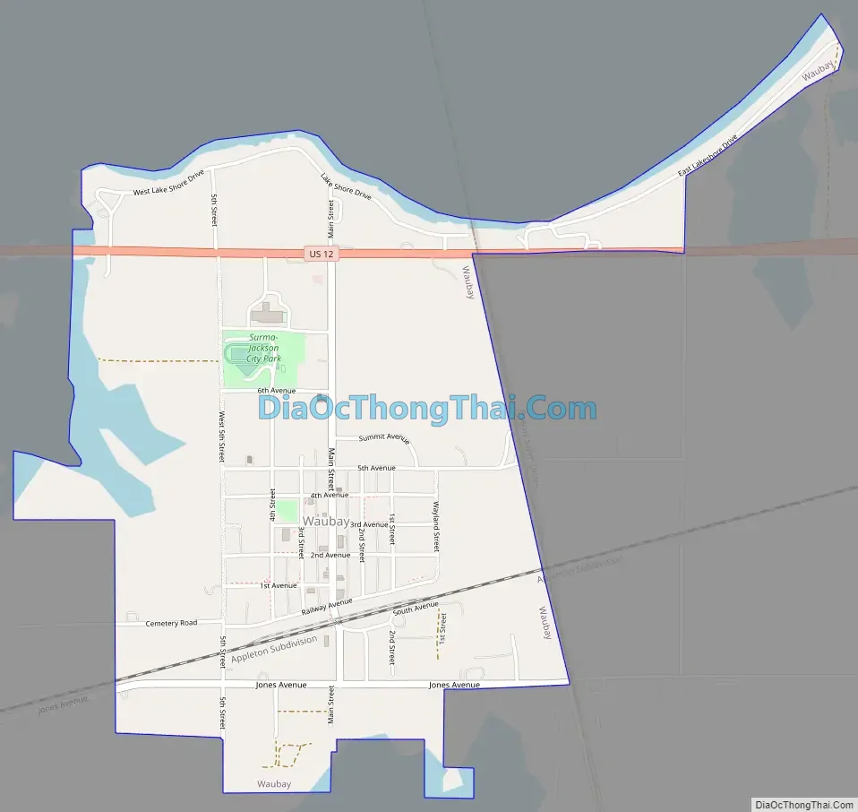
Waubay location map. Where is Waubay city?
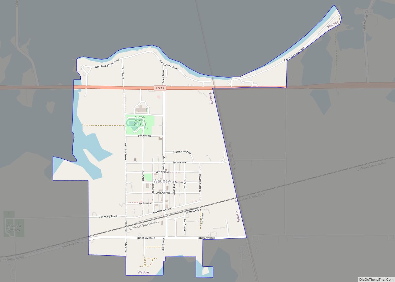
Waubay Road Map
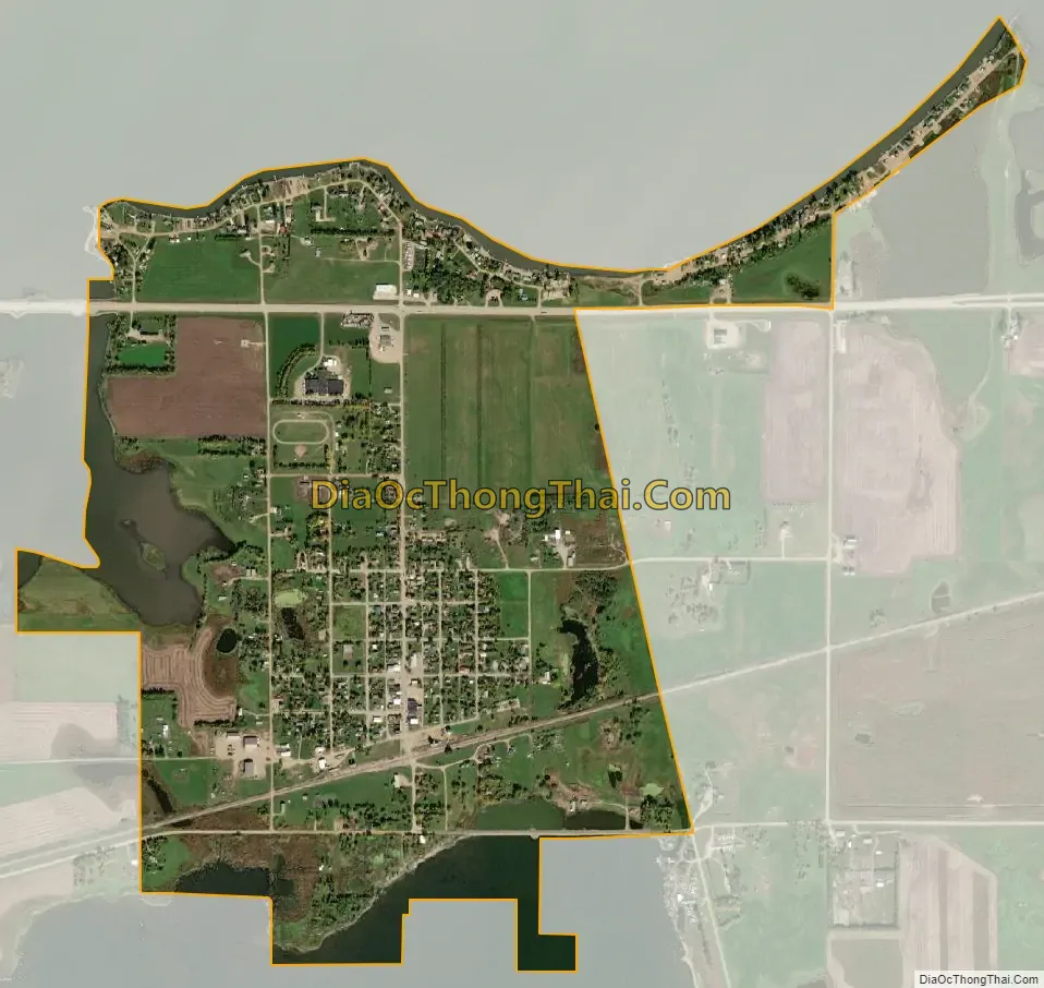
Waubay city Satellite Map
Geography
Waubay is located at 45°19′59″N 97°18′15″W / 45.33306°N 97.30417°W / 45.33306; -97.30417 (45.333174, -97.304192).
According to the United States Census Bureau, the city has a total area of 1.46 square miles (3.78 km), all land.
See also
Map of South Dakota State and its subdivision:- Aurora
- Beadle
- Bennett
- Bon Homme
- Brookings
- Brown
- Brule
- Buffalo
- Butte
- Campbell
- Charles Mix
- Clark
- Clay
- Codington
- Corson
- Custer
- Davison
- Day
- Deuel
- Dewey
- Douglas
- Edmunds
- Fall River
- Faulk
- Grant
- Gregory
- Haakon
- Hamlin
- Hand
- Hanson
- Harding
- Hughes
- Hutchinson
- Hyde
- Jackson
- Jerauld
- Jones
- Kingsbury
- Lake
- Lawrence
- Lincoln
- Lyman
- Marshall
- McCook
- McPherson
- Meade
- Mellette
- Miner
- Minnehaha
- Moody
- Pennington
- Perkins
- Potter
- Roberts
- Sanborn
- Shannon
- Spink
- Stanley
- Sully
- Todd
- Tripp
- Turner
- Union
- Walworth
- Yankton
- Ziebach
- Alabama
- Alaska
- Arizona
- Arkansas
- California
- Colorado
- Connecticut
- Delaware
- District of Columbia
- Florida
- Georgia
- Hawaii
- Idaho
- Illinois
- Indiana
- Iowa
- Kansas
- Kentucky
- Louisiana
- Maine
- Maryland
- Massachusetts
- Michigan
- Minnesota
- Mississippi
- Missouri
- Montana
- Nebraska
- Nevada
- New Hampshire
- New Jersey
- New Mexico
- New York
- North Carolina
- North Dakota
- Ohio
- Oklahoma
- Oregon
- Pennsylvania
- Rhode Island
- South Carolina
- South Dakota
- Tennessee
- Texas
- Utah
- Vermont
- Virginia
- Washington
- West Virginia
- Wisconsin
- Wyoming