White Rock is a town in Roberts County, South Dakota, United States, along the Bois de Sioux River. The population was 6 at the 2020 census. White Rock is the most northeastern community in South Dakota, being along the Minnesota border and one mile south of North Dakota.
| Name: | White Rock town |
|---|---|
| LSAD Code: | 43 |
| LSAD Description: | town (suffix) |
| State: | South Dakota |
| County: | Roberts County |
| Elevation: | 974 ft (297 m) |
| Total Area: | 1.57 sq mi (4.07 km²) |
| Land Area: | 1.57 sq mi (4.07 km²) |
| Water Area: | 0.00 sq mi (0.00 km²) |
| Total Population: | 6 |
| Population Density: | 3.82/sq mi (1.47/km²) |
| Area code: | 605 |
| FIPS code: | 4671380 |
| GNISfeature ID: | 1258972 |
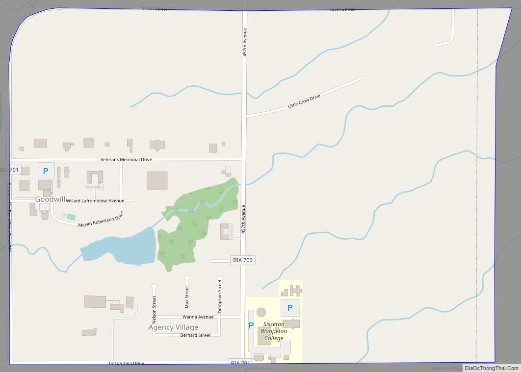
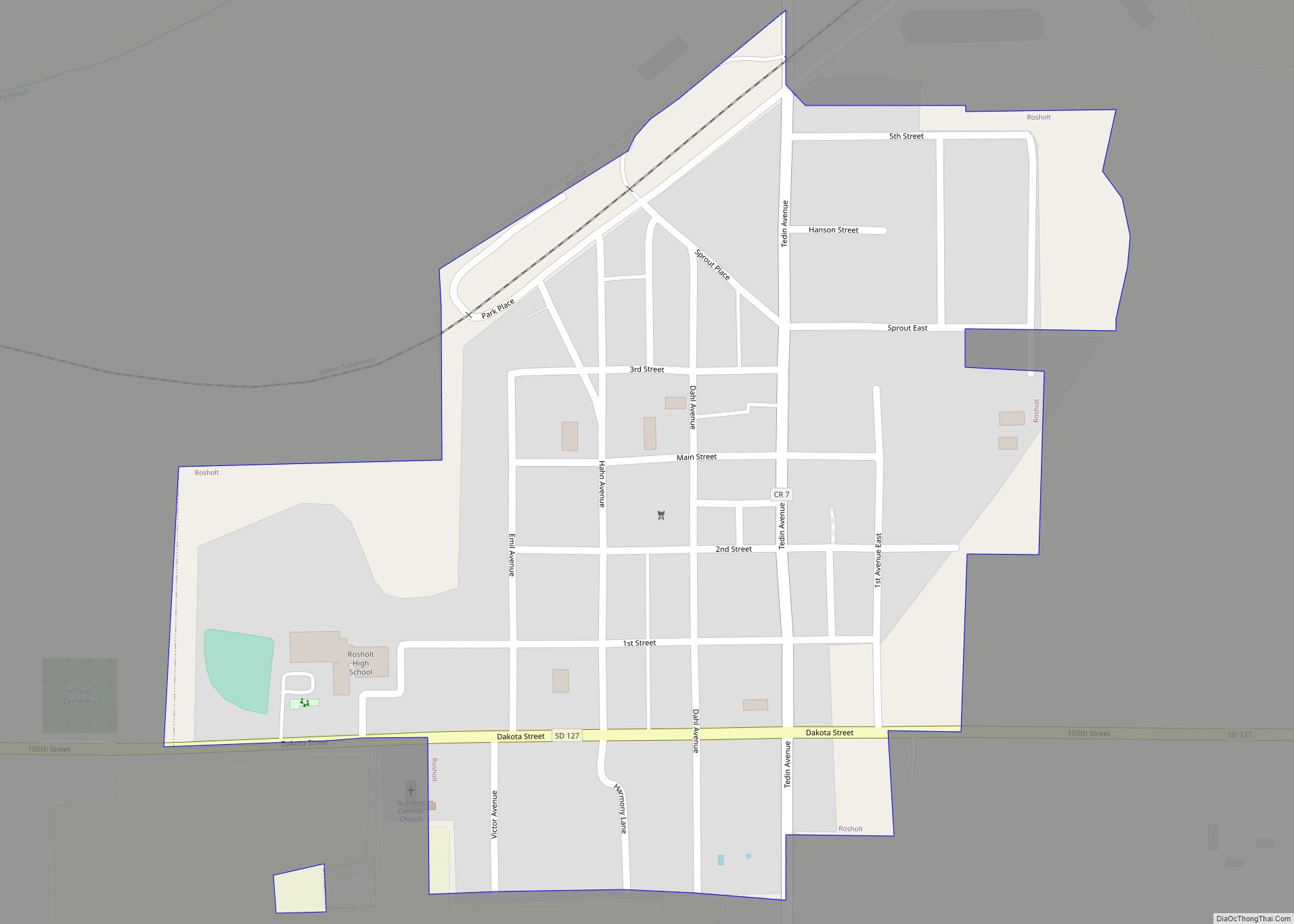
Online Interactive Map
Click on ![]() to view map in "full screen" mode.
to view map in "full screen" mode.
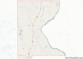
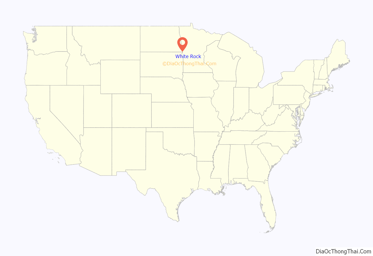
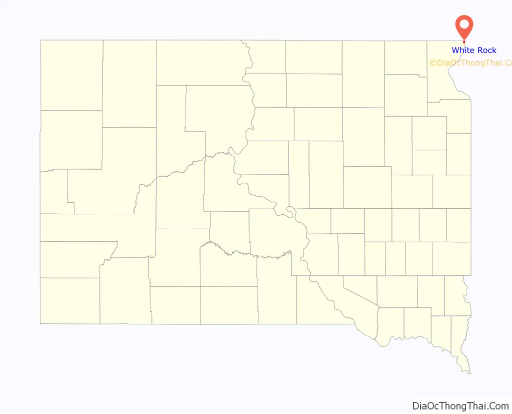
White Rock location map. Where is White Rock town?
History
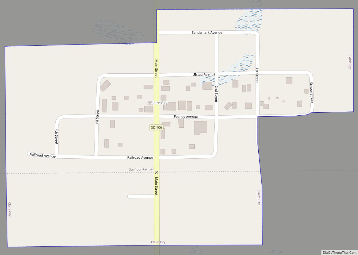
A post office called White Rock was established in 1885, and remained in operation until 1965. White Rock took its name from a white granite boulder near the original town site. The namesake boulder was destroyed and a grain elevator was built at the spot. A historical marker stands at the corner of Haggert Ave. (the main east/west road along the north side of town) and 2nd St. (one of the two main north /south streets).
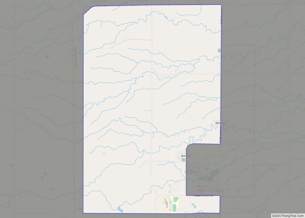
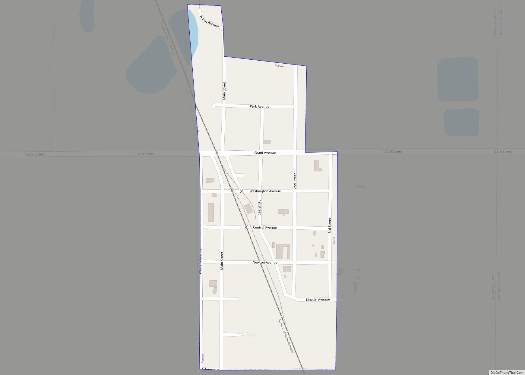
White Rock Road Map
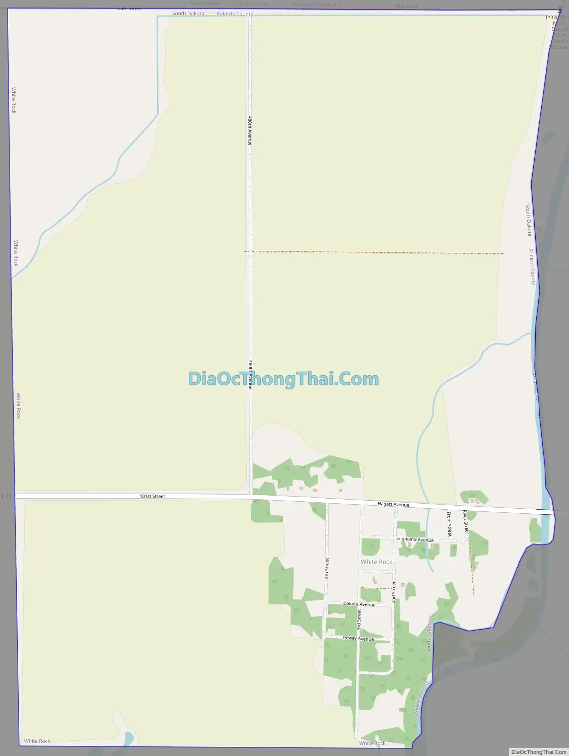
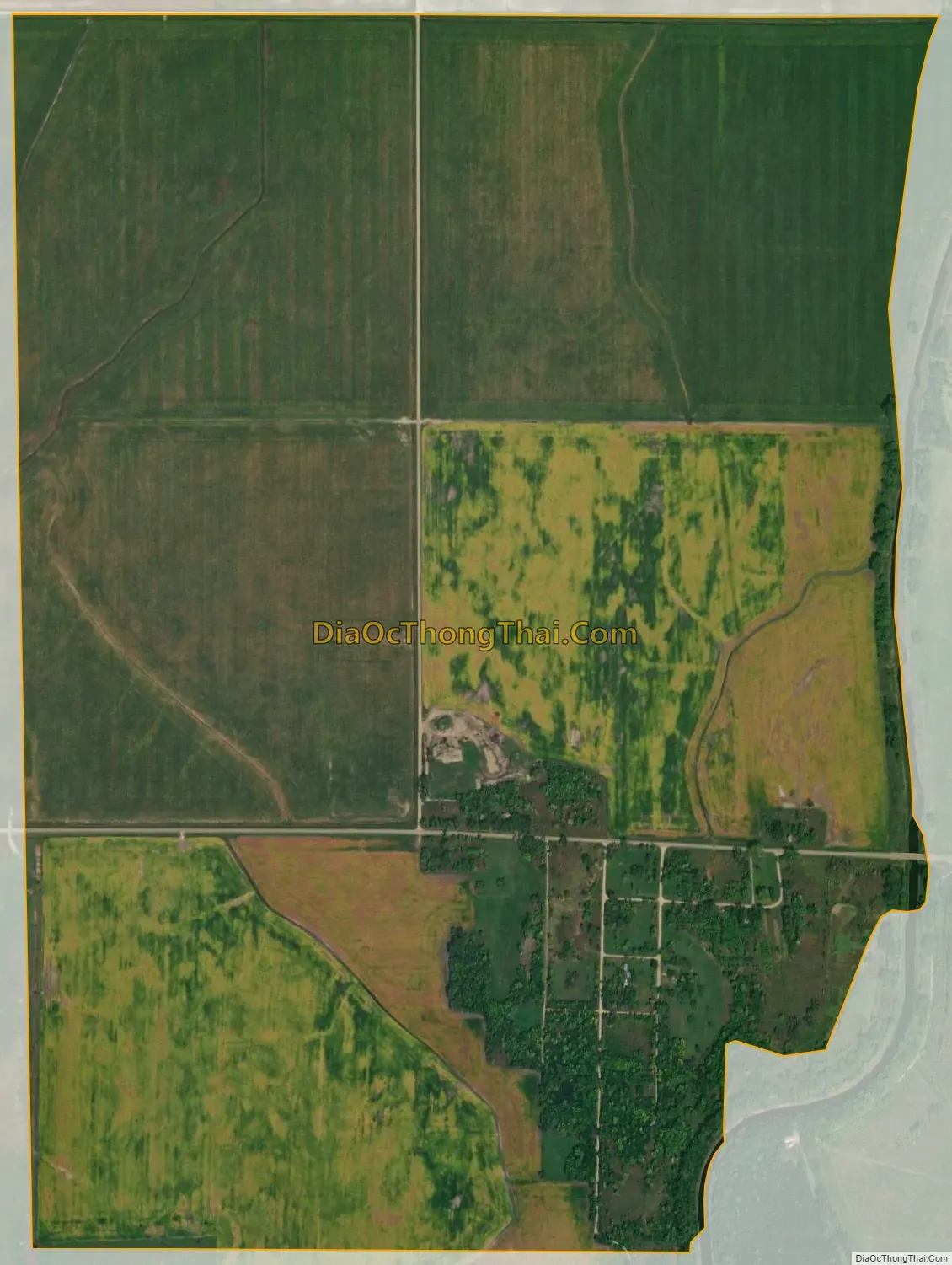
White Rock city Satellite Map
Geography
White Rock is located at 45°55′9″N 96°34′22″W / 45.91917°N 96.57278°W / 45.91917; -96.57278 (45.919046, -96.572776).
According to the United States Census Bureau, the town has a total area of 1.57 square miles (4.07 km), all land.
See also
Map of South Dakota State and its subdivision:- Aurora
- Beadle
- Bennett
- Bon Homme
- Brookings
- Brown
- Brule
- Buffalo
- Butte
- Campbell
- Charles Mix
- Clark
- Clay
- Codington
- Corson
- Custer
- Davison
- Day
- Deuel
- Dewey
- Douglas
- Edmunds
- Fall River
- Faulk
- Grant
- Gregory
- Haakon
- Hamlin
- Hand
- Hanson
- Harding
- Hughes
- Hutchinson
- Hyde
- Jackson
- Jerauld
- Jones
- Kingsbury
- Lake
- Lawrence
- Lincoln
- Lyman
- Marshall
- McCook
- McPherson
- Meade
- Mellette
- Miner
- Minnehaha
- Moody
- Pennington
- Perkins
- Potter
- Roberts
- Sanborn
- Shannon
- Spink
- Stanley
- Sully
- Todd
- Tripp
- Turner
- Union
- Walworth
- Yankton
- Ziebach
- Alabama
- Alaska
- Arizona
- Arkansas
- California
- Colorado
- Connecticut
- Delaware
- District of Columbia
- Florida
- Georgia
- Hawaii
- Idaho
- Illinois
- Indiana
- Iowa
- Kansas
- Kentucky
- Louisiana
- Maine
- Maryland
- Massachusetts
- Michigan
- Minnesota
- Mississippi
- Missouri
- Montana
- Nebraska
- Nevada
- New Hampshire
- New Jersey
- New Mexico
- New York
- North Carolina
- North Dakota
- Ohio
- Oklahoma
- Oregon
- Pennsylvania
- Rhode Island
- South Carolina
- South Dakota
- Tennessee
- Texas
- Utah
- Vermont
- Virginia
- Washington
- West Virginia
- Wisconsin
- Wyoming