Graysville is a town in Rhea County, Tennessee, United States. The population was 1,471 at the 2020 census and 1,502 at the 2010 census.
| Name: | Graysville town |
|---|---|
| LSAD Code: | 43 |
| LSAD Description: | town (suffix) |
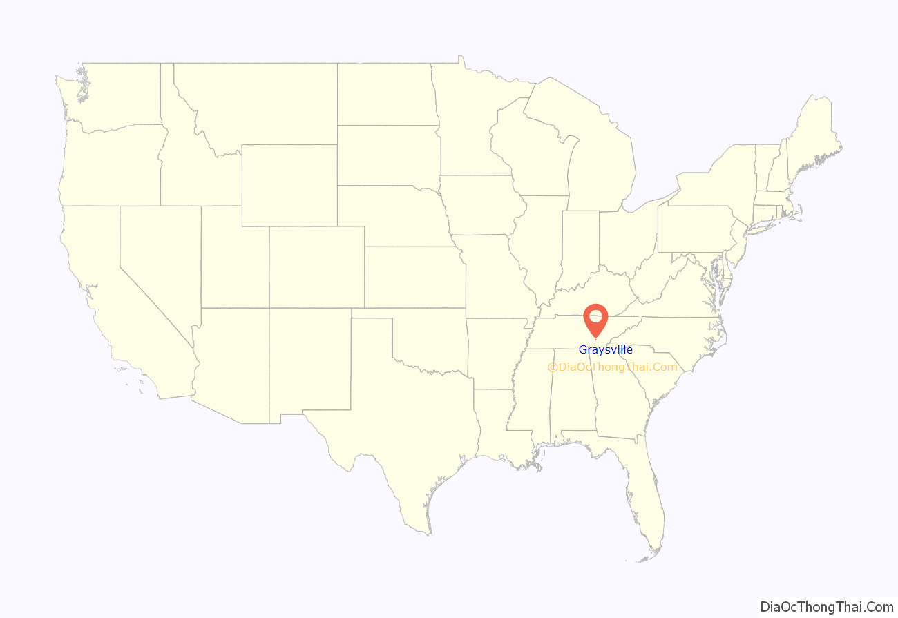
| State: | Tennessee |
| County: | Rhea County |
| Elevation: | 748 ft (228 m) |
| Total Area: | 1.18 sq mi (3.05 km²) |
| Land Area: | 1.18 sq mi (3.05 km²) |
| Water Area: | 0.00 sq mi (0.00 km²) |
| Total Population: | 1,471 |
| Population Density: | 1,248.73/sq mi (482.25/km²) |
| ZIP code: | 37338 |
| Area code: | 423 |
| FIPS code: | 4730760 |
| GNISfeature ID: | 1286033 |
| Website: | graysvilletn.org |
Online Interactive Map
Click on ![]() to view map in "full screen" mode.
to view map in "full screen" mode.
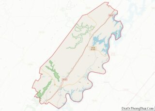
Graysville location map. Where is Graysville town?

History
Graysville is named for William Gray, an early settler who was appointed postmaster in 1875. The town expanded in the 1880s, when the arrival of the railroad brought coal extraction industries to the area. During this period, the Dayton Coal and Iron Company established a major operation at Graysville. Coal mined nearby was converted into coke, which in turn was used to fuel two blast furnaces to produce pig iron. This operation continued until the Great Depression brought about a general collapse in the industry in the 1930s.
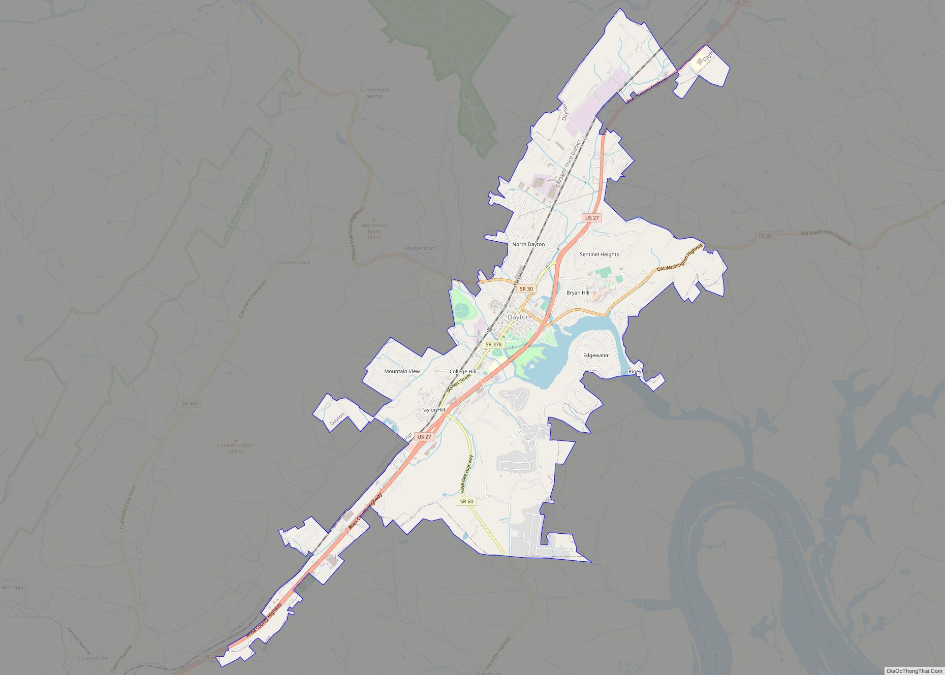
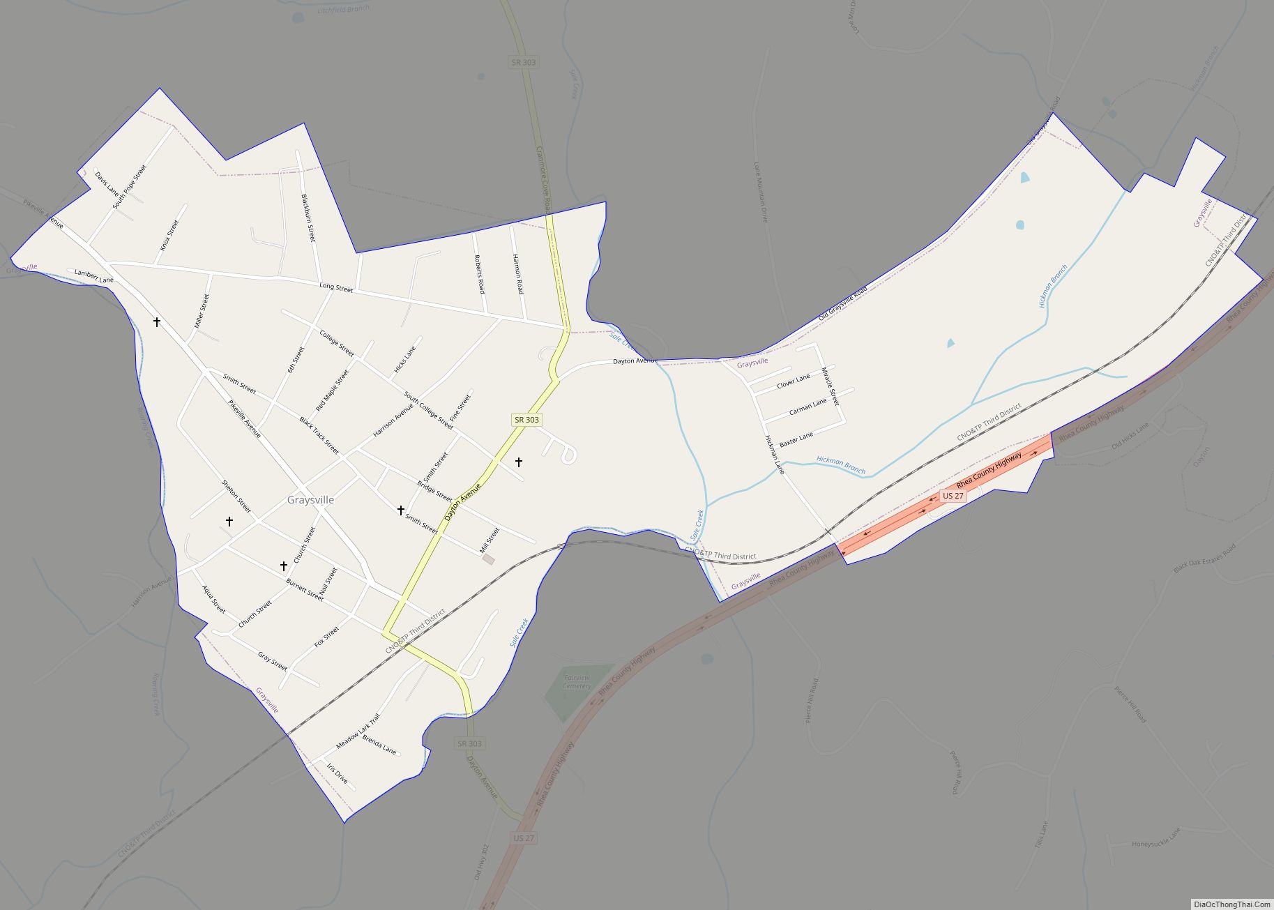
Graysville Road Map

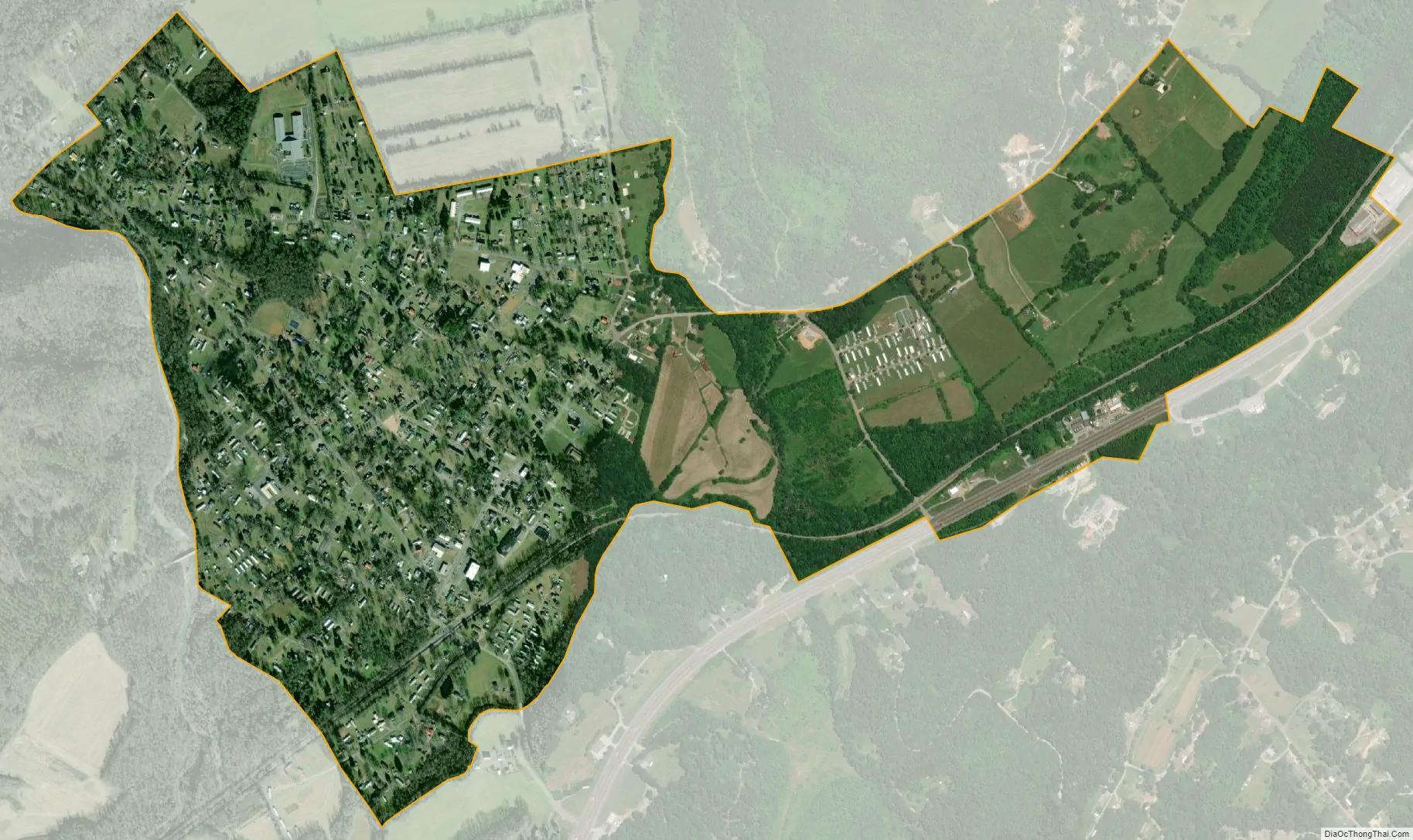
Graysville city Satellite Map
Geography
Graysville is located at 35°26′52″N 85°4′57″W / 35.44778°N 85.08250°W / 35.44778; -85.08250 (35.447848, -85.082437). It is situated along Roaring Creek between Walden Ridge (an escarpment of the Cumberland Plateau) and Blackoak Ridge, just north of the Rhea-Hamilton line. U.S. Route 27 passes through the eastern part of Graysville while State Route 303 passes straight through downtown.
According to the United States Census Bureau, the town has a total area of 0.8 square miles (2.1 km), all of it land.
See also
Map of Tennessee State and its subdivision:- Anderson
- Bedford
- Benton
- Bledsoe
- Blount
- Bradley
- Campbell
- Cannon
- Carroll
- Carter
- Cheatham
- Chester
- Claiborne
- Clay
- Cocke
- Coffee
- Crockett
- Cumberland
- Davidson
- Decatur
- DeKalb
- Dickson
- Dyer
- Fayette
- Fentress
- Franklin
- Gibson
- Giles
- Grainger
- Greene
- Grundy
- Hamblen
- Hamilton
- Hancock
- Hardeman
- Hardin
- Hawkins
- Haywood
- Henderson
- Henry
- Hickman
- Houston
- Humphreys
- Jackson
- Jefferson
- Johnson
- Knox
- Lake
- Lauderdale
- Lawrence
- Lewis
- Lincoln
- Loudon
- Macon
- Madison
- Marion
- Marshall
- Maury
- McMinn
- McNairy
- Meigs
- Monroe
- Montgomery
- Moore
- Morgan
- Obion
- Overton
- Perry
- Pickett
- Polk
- Putnam
- Rhea
- Roane
- Robertson
- Rutherford
- Scott
- Sequatchie
- Sevier
- Shelby
- Smith
- Stewart
- Sullivan
- Sumner
- Tipton
- Trousdale
- Unicoi
- Union
- Van Buren
- Warren
- Washington
- Wayne
- Weakley
- White
- Williamson
- Wilson
- Alabama
- Alaska
- Arizona
- Arkansas
- California
- Colorado
- Connecticut
- Delaware
- District of Columbia
- Florida
- Georgia
- Hawaii
- Idaho
- Illinois
- Indiana
- Iowa
- Kansas
- Kentucky
- Louisiana
- Maine
- Maryland
- Massachusetts
- Michigan
- Minnesota
- Mississippi
- Missouri
- Montana
- Nebraska
- Nevada
- New Hampshire
- New Jersey
- New Mexico
- New York
- North Carolina
- North Dakota
- Ohio
- Oklahoma
- Oregon
- Pennsylvania
- Rhode Island
- South Carolina
- South Dakota
- Tennessee
- Texas
- Utah
- Vermont
- Virginia
- Washington
- West Virginia
- Wisconsin
- Wyoming