Tracy City is a town in Grundy County, Tennessee, United States. Incorporated in 1915, the population was 1,481 at the 2010 census. Named after financier Samuel Franklin Tracy, the city developed out of railroad and mining interests after coal was found in 1840. In 2010 the people of Tracy City elected a dead man, Carl Robin Geary, as mayor.
| Name: | Tracy City town |
|---|---|
| LSAD Code: | 43 |
| LSAD Description: | town (suffix) |
| State: | Tennessee |
| County: | Grundy County |
| Incorporated: | 1915 |
| Elevation: | 1,828 ft (557 m) |
| Total Area: | 4.77 sq mi (12.36 km²) |
| Land Area: | 4.66 sq mi (12.06 km²) |
| Water Area: | 0.12 sq mi (0.30 km²) |
| Total Population: | 1,406 |
| Population Density: | 301.98/sq mi (116.60/km²) |
| ZIP code: | 37387 |
| Area code: | 931 |
| FIPS code: | 4774880 |
| GNISfeature ID: | 1304149 |
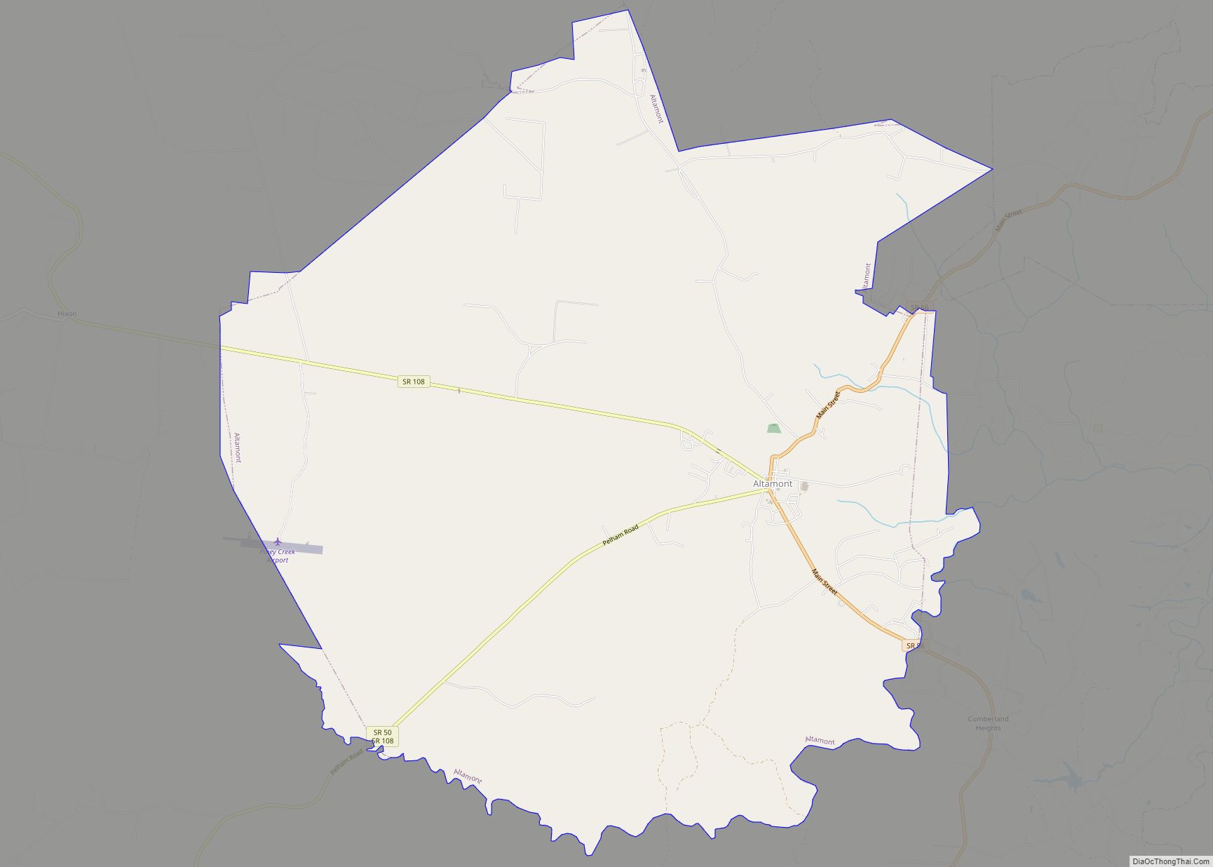
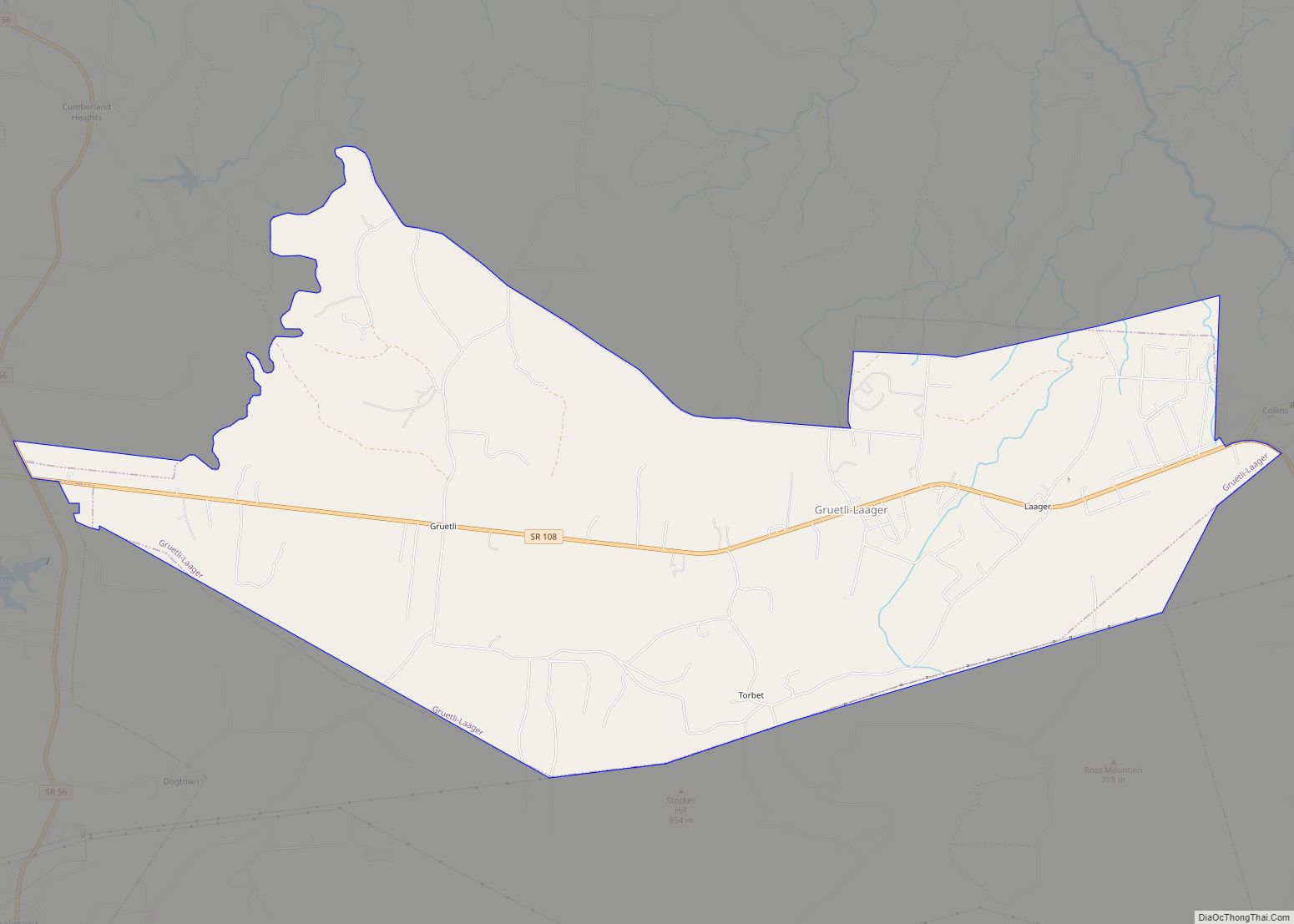
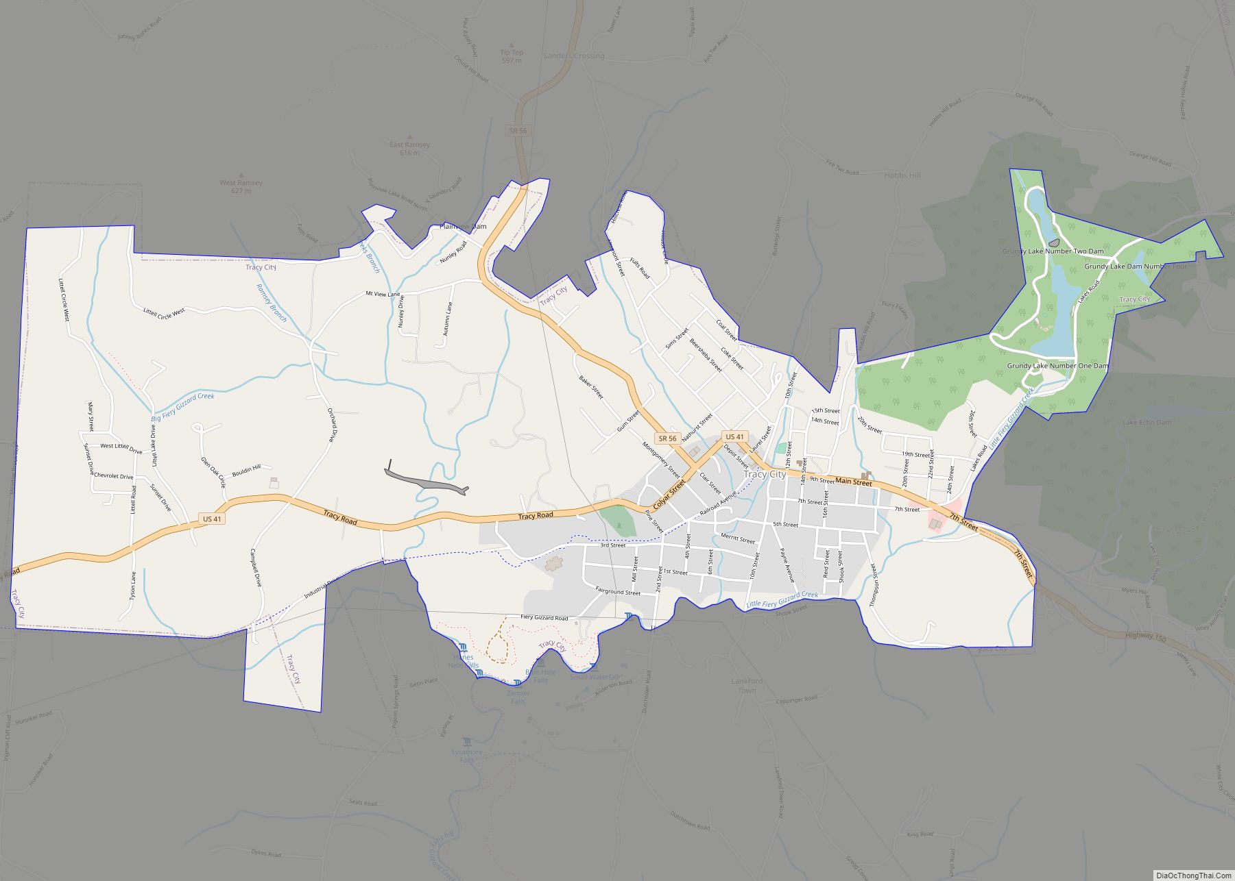
Online Interactive Map
Click on ![]() to view map in "full screen" mode.
to view map in "full screen" mode.
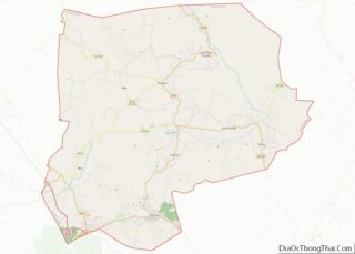
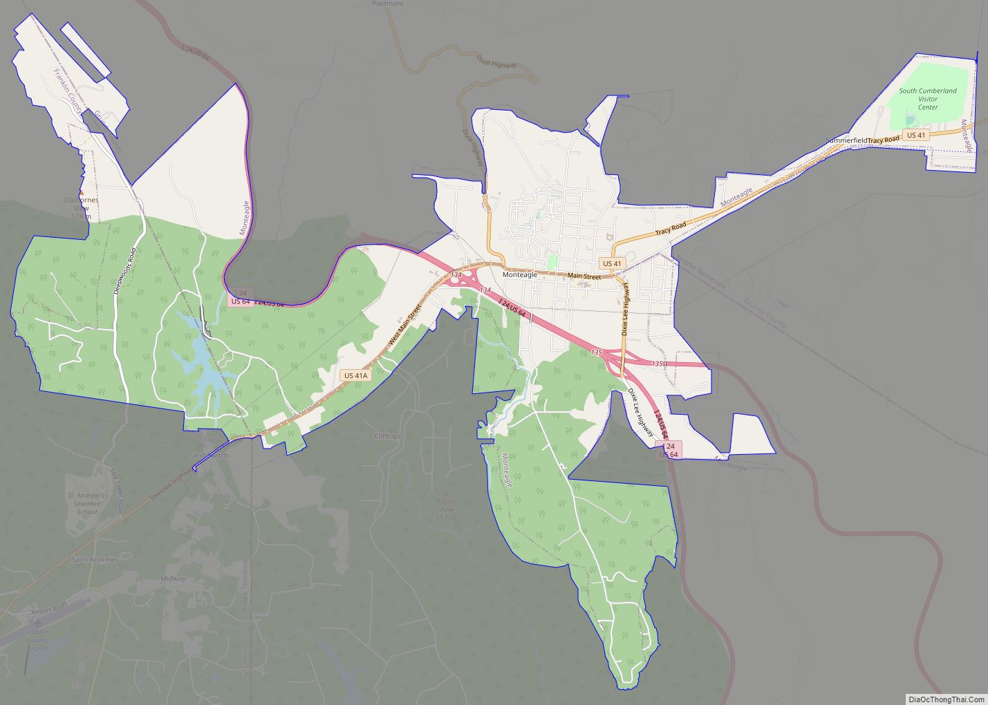
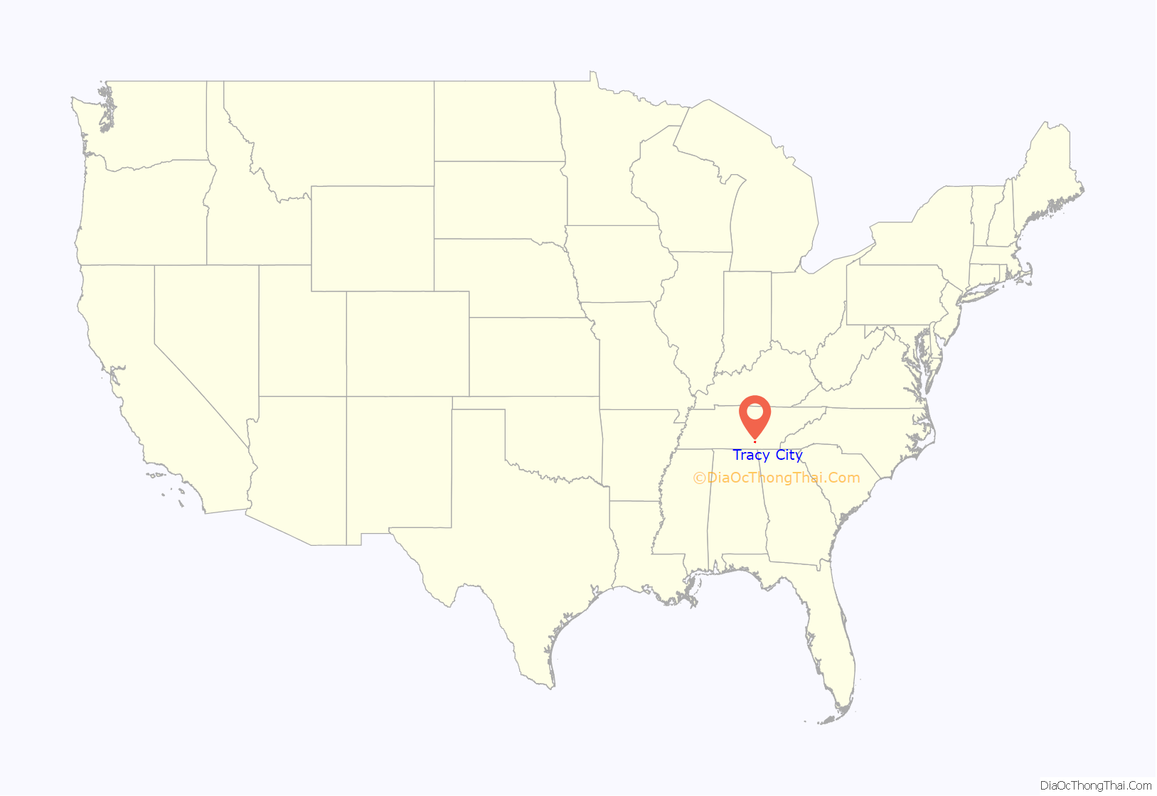
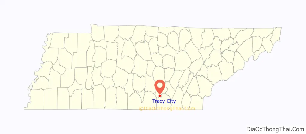
Tracy City location map. Where is Tracy City town?
History
In 1840 local boys digging a groundhog out of the ground discovered coal. In the early 1870s Tracy City an experimental blast furnace was built by Samuel Jones and owned by the Tennessee Coal, Iron and Railroad Company. The furnace, called “Fiery Gizzard”, was built to see if local coal would be used to produce iron. The furnace made 15 tons of iron before the stovepipe fell on the third day. The former location of the furnace is marked with a historical marker. The coke ovens at Tracy City supplied railroad and industrial fuel and workers and their families moved into the area in great numbers from 1875 until 1900. By 1910 the industry faded due to problems invoked by labor unions and convict labor. Tracy City is also home to the oldest family bakery in Tennessee, Dutch Maid Bakery. In 1987 the coke ovens were placed on the National Register of Historic Places. Tracy City was incorporated in 1915.
Tracy City has featured prominently in Grundy County’s history of arson. Ten buildings in the business district were set alight in 1935. The 100-year-old L&N Depot, 86-year-old James K. Shook School, various waterworks, schools, a lumber yard, and a doctor’s clinic were also torched in the 20th century. This tradition has continued into the 21st century. On April 8, 2022, there was an arson attempt at the Historic Christ Church Episcopal on 10th Street in Tracy City.
Tracy City Road Map
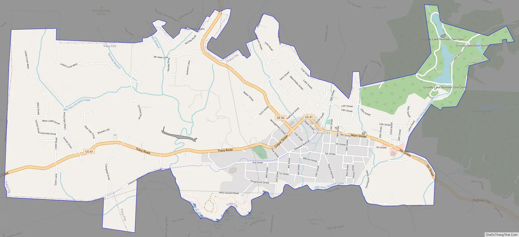
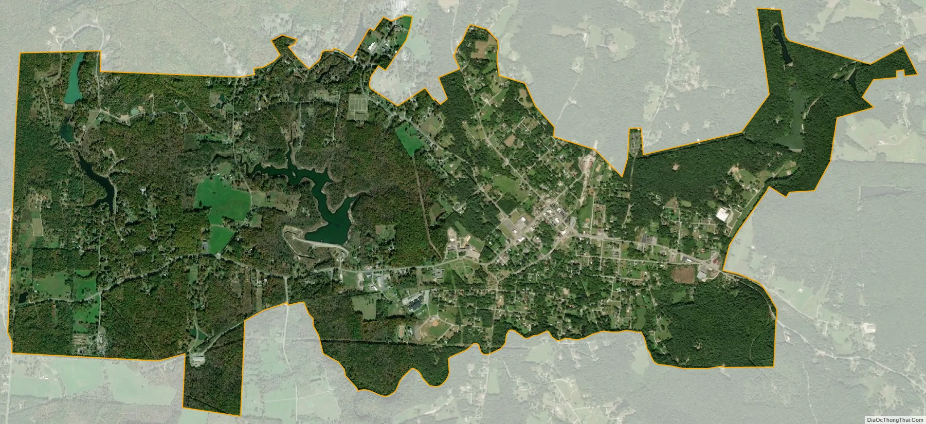
Tracy City city Satellite Map
Geography
Tracy City is located at 35°15′39″N 85°44′30″W / 35.26083°N 85.74167°W / 35.26083; -85.74167. According to the United States Census Bureau, the town has a total area of 4.8 square miles (12 km), of which 4.8 square miles (12 km) is land and 0.04 square miles (0.10 km) (0.83%) is water.
See also
Map of Tennessee State and its subdivision:- Anderson
- Bedford
- Benton
- Bledsoe
- Blount
- Bradley
- Campbell
- Cannon
- Carroll
- Carter
- Cheatham
- Chester
- Claiborne
- Clay
- Cocke
- Coffee
- Crockett
- Cumberland
- Davidson
- Decatur
- DeKalb
- Dickson
- Dyer
- Fayette
- Fentress
- Franklin
- Gibson
- Giles
- Grainger
- Greene
- Grundy
- Hamblen
- Hamilton
- Hancock
- Hardeman
- Hardin
- Hawkins
- Haywood
- Henderson
- Henry
- Hickman
- Houston
- Humphreys
- Jackson
- Jefferson
- Johnson
- Knox
- Lake
- Lauderdale
- Lawrence
- Lewis
- Lincoln
- Loudon
- Macon
- Madison
- Marion
- Marshall
- Maury
- McMinn
- McNairy
- Meigs
- Monroe
- Montgomery
- Moore
- Morgan
- Obion
- Overton
- Perry
- Pickett
- Polk
- Putnam
- Rhea
- Roane
- Robertson
- Rutherford
- Scott
- Sequatchie
- Sevier
- Shelby
- Smith
- Stewart
- Sullivan
- Sumner
- Tipton
- Trousdale
- Unicoi
- Union
- Van Buren
- Warren
- Washington
- Wayne
- Weakley
- White
- Williamson
- Wilson
- Alabama
- Alaska
- Arizona
- Arkansas
- California
- Colorado
- Connecticut
- Delaware
- District of Columbia
- Florida
- Georgia
- Hawaii
- Idaho
- Illinois
- Indiana
- Iowa
- Kansas
- Kentucky
- Louisiana
- Maine
- Maryland
- Massachusetts
- Michigan
- Minnesota
- Mississippi
- Missouri
- Montana
- Nebraska
- Nevada
- New Hampshire
- New Jersey
- New Mexico
- New York
- North Carolina
- North Dakota
- Ohio
- Oklahoma
- Oregon
- Pennsylvania
- Rhode Island
- South Carolina
- South Dakota
- Tennessee
- Texas
- Utah
- Vermont
- Virginia
- Washington
- West Virginia
- Wisconsin
- Wyoming