Reedsburg is a city in Sauk County, Wisconsin, United States. Located along the Baraboo River, it was founded in 1868, and was named for early settler David C. Reed. The city is surrounded by the Town of Reedsburg. It is part of the Baraboo Micropolitan Statistical Area.
| Name: | Reedsburg city |
|---|---|
| LSAD Code: | 25 |
| LSAD Description: | city (suffix) |
| State: | Wisconsin |
| County: | Sauk County |
| Total Area: | 6.04 sq mi (15.65 km²) |
| Land Area: | 5.93 sq mi (15.36 km²) |
| Water Area: | 0.11 sq mi (0.29 km²) |
| Total Population: | 9,984 |
| Population Density: | 1,700/sq mi (640/km²) |
| Area code: | 608 |
| FIPS code: | 5566800 |
| Website: | www.reedsburgwi.gov |
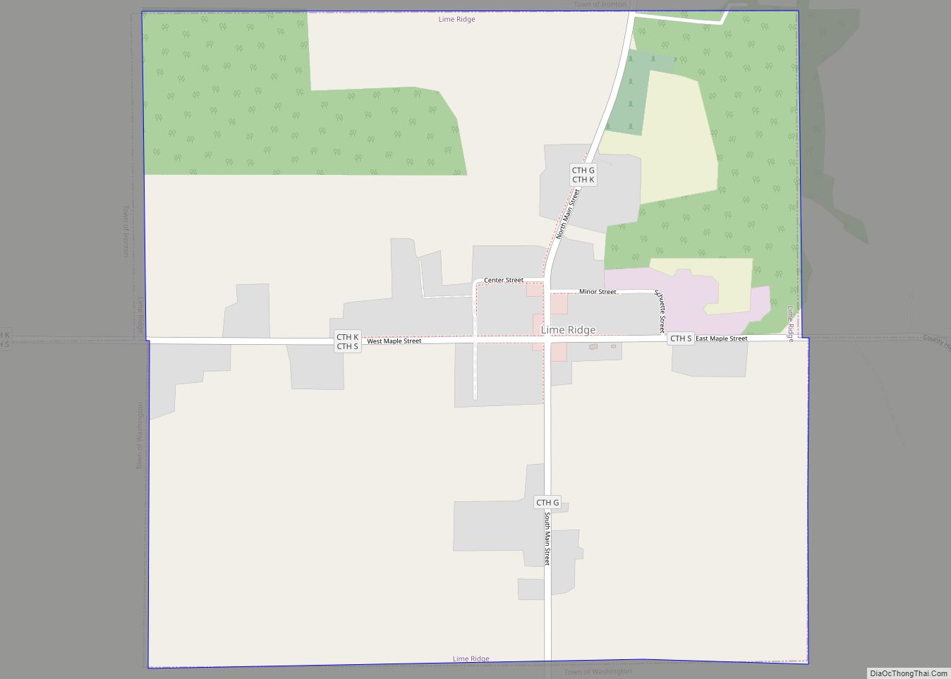
Online Interactive Map
Click on ![]() to view map in "full screen" mode.
to view map in "full screen" mode.
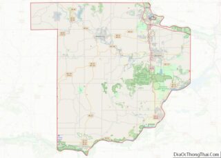
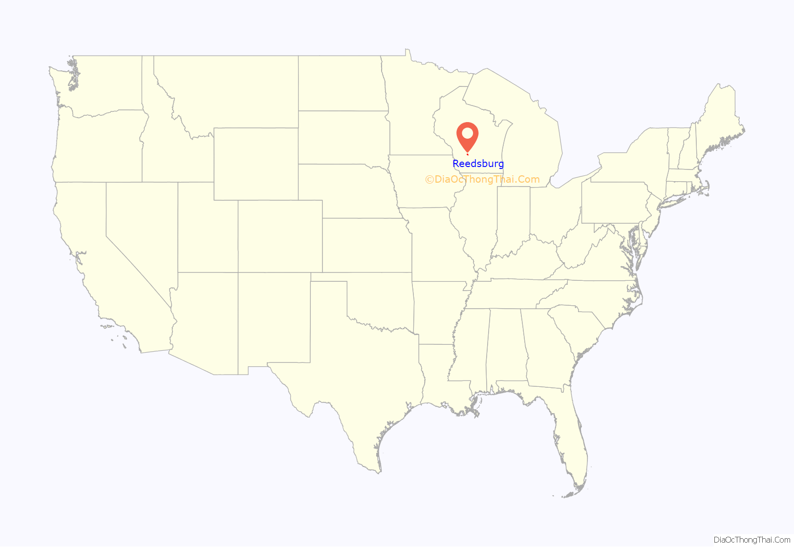
Reedsburg location map. Where is Reedsburg city?
History
Early settlement
Early settlers came to this area due to the abundance of natural resources, especially lumber. In 1844, the first copper mine was established in this area, but it was soon abandoned. James W. Babb and his wife Rebecca Scarff Babb are the earliest recorded settlers, having brought their family to Wisconsin from Ohio in 1845. At a place 55 miles northeast of Mineral Point (the capital of Wisconsin Territory), long identified by the Winnebago who inhabited these lands as a convenient place to cross the Baraboo River, Babb left a flat-bottomed boat to help move supplies.
At “Babb’s Ford,” in 1847 David C. Reed built a dam and a shanty to house the workers who constructed it. In June 1848 a sawmill followed. By 1850, “Shanty Row” comprised five tamarack shanties. These initial buildings were of poor construction, and did not have a strong foundation, due to the marshland created by the Baraboo River. Main Street would later be built where “Shanty Row” stood.
Reedsburg was platted in 1852, and four years later the community had grown to 50 buildings housing 27 families and 122 people. The first bridge across the Baraboo River was built in 1853, located where the Main Street bridge would later be built. In 1854 the Mackey brothers purchased Reed’s saw mill, and brought economic security to the area. As the town was growing, more farms continued to be developed around the area, cultivating a variety of crops.
Late 1800s
The community continued under town government until 1868, when Reedsburg was incorporated as a village; it became a city in May 1887. In the 1860s, a hop boom temporarily brought wealth into the area. After the crash of the hops market, more farms started to diversify, and Reedsburg would become known for its grain and dairy products. The Chicago & North Western Railway (C&NW) arrived in 1872.
In the 1870s, Main Street started to develop, with grocery stores, banks, and other businesses establishing in Reedsburg. In 1880, the Reedsburg Brewing Company was formed. As the city continued to grow, more industries came to Reedsburg. On December 1, 1883, the Webb and Schweke department store opened, known as the “Big Store”. The store was the largest department store in Sauk County. The City Hotel opened in 1886, owned by William Roper. Among the most important was the Reedsburg Woolen Mill. Construction was completed in 1882, and by 1899, 32 broad looms produced mainly “fancy cassimeres” for Chicago markets.
1900s
In 1902 the facility was purchased by Appleton Woolen Mills, and began producing clothing for east coast outlets. Sears and Montgomery Wards became two major clients. In 1910, the Central Wisconsin Creamery opened, making Reedsburg famous for its butter production. In 1954, when Appleton Woolen Mills shifted focus to felts, the business in Reedsburg reorganized to emphasize novelty fabrics. The Big Store burned down in 1957, after 78 years of service. The Reedsburg Woolen Mill, long one of the area’s largest employers, endured until 1967; most of the mill complex burned in April 1968, leaving only the mill office.
Another important business has been the Hankscraft Company. Incorporated in Madison in 1920, Hankscraft—makers of baby bottle warmers, sterilizers and other products—thrived during the post-war baby boom, and in 1949 opened a plant in Reedsburg. In 1951, Herbert Webb left Reedsburg a $300,000 trust fund, which is equivalent to over 4 million dollars, adjusted for inflation. He then created Webb Park, and Webb High School on the northeast side of Reedsburg, before his death in 1954. In 1961, Hankscraft purchased Nursmatic Corporation, expanding their line include to bassinets, safety harnesses, baby toiletries and other products; a year later, the acquisition of Ruzicka Laboratories allowed the firm to expand once more, adding vaporizer fluids, baby oil, shampoo and lotions. In 1970, Hankscraft was purchased by Gerber Products Company, and began producing baby food. It was the town’s second largest employer, exceeded only by the Reedsburg Woolen Mill.
In the 1980s, the Wisconsin and Southern Railroad came to Reedsburg, having purchased the old C&NW railroad track. In 1996, Gerber Products Company sold Hankscraft Motors, which continues to operate in Reedsburg. Other important industries have included Grede Foundry, Seats, Inc., and the Columbia Par Car Corporation.
In 1971, the first Butter Festival, now known as Butterfest, was held in Webb Park. It was a celebration of the farming and dairy industry. In 1984, together the Main Street Commercial Historic District and the Park Street Historic District were added to the National Register of Historic Places. In 1993, 22 miles of the C&NW rail line between Reedsburg and Elroy became the Wisconsin 400 State Trail, a hiking/biking trail named for the passenger rail line that was said to travel the 400 miles between Chicago and Minneapolis/St. Paul in 400 minutes.
2000s
In 2011, Reedsburg became home of the annual Fermentation Fest. In 2018, the Baraboo River flooded, destroying several homes and businesses.
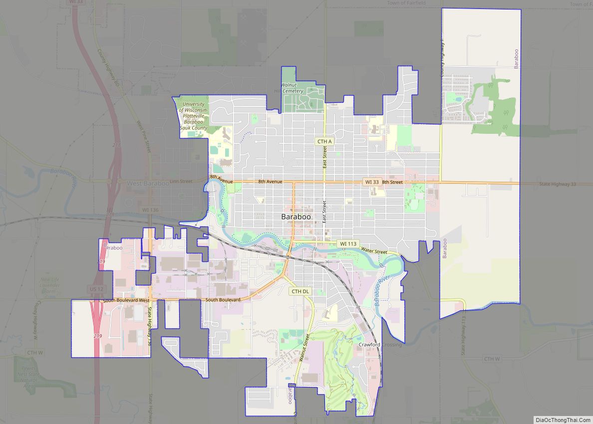
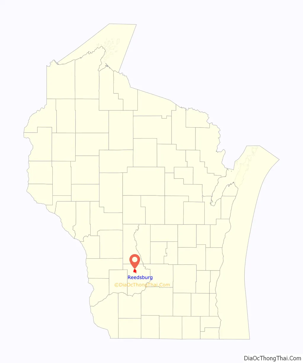
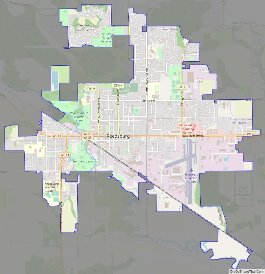
Reedsburg Road Map
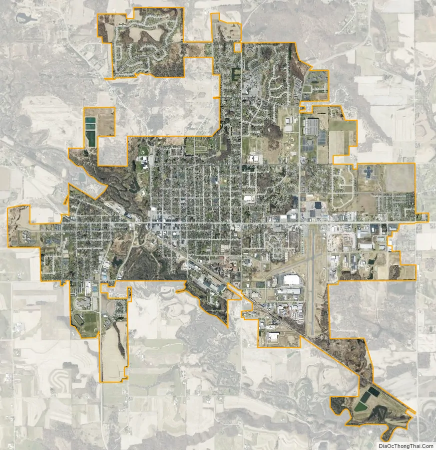
Reedsburg city Satellite Map
Geography
Reedsburg is located at 43°32′1″N 90°0′10″W / 43.53361°N 90.00278°W / 43.53361; -90.00278 (43.533854, -90.002902).
According to the United States Census Bureau, the city has a total area of 5.93 square miles (15.36 km), of which 5.83 square miles (15.10 km) is land and 0.10 square miles (0.26 km) is water. The Baraboo River flows through the city.
Lake Virginia is a small lake on the east side of Reedsburg. Lake Redstone and Dutch Hollow Lake are 2 reservoirs located in the nearby town of La Valle. Babb Creek, Hay Creek, and Copper Creek, tributaries of the Baraboo River, all flow through Reedsburg. Babb Creek was named for early settler James W. Babb. Hay and Copper Creek were named for the farming and short lived mining industry in Reedsburg.
Reedsburg is 12 miles southwest of the Wisconsin Dells along the Baraboo River, with scenic views of the Baraboo Range to the south. Reedsburg is located directly on the 90th meridian west. A pink quartzite marker on Main Street reads 325 feet east of this point lies the 90th meridian. The marker was dedicated on October 14, 1963, to designate Reedsburg’s unique location. It was donated by Whitney Memorials and erected by the Kiwanis Club.
See also
Map of Wisconsin State and its subdivision:- Adams
- Ashland
- Barron
- Bayfield
- Brown
- Buffalo
- Burnett
- Calumet
- Chippewa
- Clark
- Columbia
- Crawford
- Dane
- Dodge
- Door
- Douglas
- Dunn
- Eau Claire
- Florence
- Fond du Lac
- Forest
- Grant
- Green
- Green Lake
- Iowa
- Iron
- Jackson
- Jefferson
- Juneau
- Kenosha
- Kewaunee
- La Crosse
- Lafayette
- Lake Michigan
- Lake Superior
- Langlade
- Lincoln
- Manitowoc
- Marathon
- Marinette
- Marquette
- Menominee
- Milwaukee
- Monroe
- Oconto
- Oneida
- Outagamie
- Ozaukee
- Pepin
- Pierce
- Polk
- Portage
- Price
- Racine
- Richland
- Rock
- Rusk
- Saint Croix
- Sauk
- Sawyer
- Shawano
- Sheboygan
- Taylor
- Trempealeau
- Vernon
- Vilas
- Walworth
- Washburn
- Washington
- Waukesha
- Waupaca
- Waushara
- Winnebago
- Wood
- Alabama
- Alaska
- Arizona
- Arkansas
- California
- Colorado
- Connecticut
- Delaware
- District of Columbia
- Florida
- Georgia
- Hawaii
- Idaho
- Illinois
- Indiana
- Iowa
- Kansas
- Kentucky
- Louisiana
- Maine
- Maryland
- Massachusetts
- Michigan
- Minnesota
- Mississippi
- Missouri
- Montana
- Nebraska
- Nevada
- New Hampshire
- New Jersey
- New Mexico
- New York
- North Carolina
- North Dakota
- Ohio
- Oklahoma
- Oregon
- Pennsylvania
- Rhode Island
- South Carolina
- South Dakota
- Tennessee
- Texas
- Utah
- Vermont
- Virginia
- Washington
- West Virginia
- Wisconsin
- Wyoming