Big Bend is a village in Waukesha County, Wisconsin, United States. The population was 1,483 at the 2020 census.
| Name: | Big Bend village |
|---|---|
| LSAD Code: | 47 |
| LSAD Description: | village (suffix) |
| State: | Wisconsin |
| County: | Waukesha County |
| Total Area: | 3.30 sq mi (8.54 km²) |
| Land Area: | 3.25 sq mi (8.42 km²) |
| Water Area: | 0.05 sq mi (0.12 km²) |
| Total Population: | 1,483 |
| Population Density: | 450.77/sq mi (174.03/km²) |
| ZIP code: | 53103 |
| Area code: | 262 |
| FIPS code: | 5507200 |
| GNISfeature ID: | 1582806 |
| Website: | villageofbigbend.com |
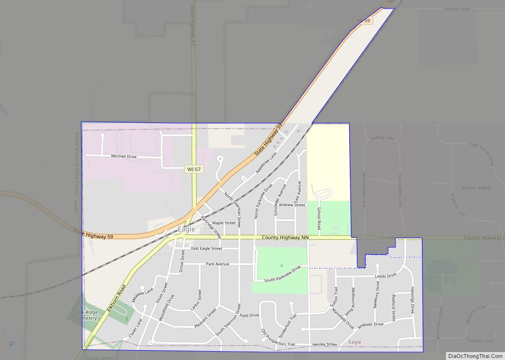
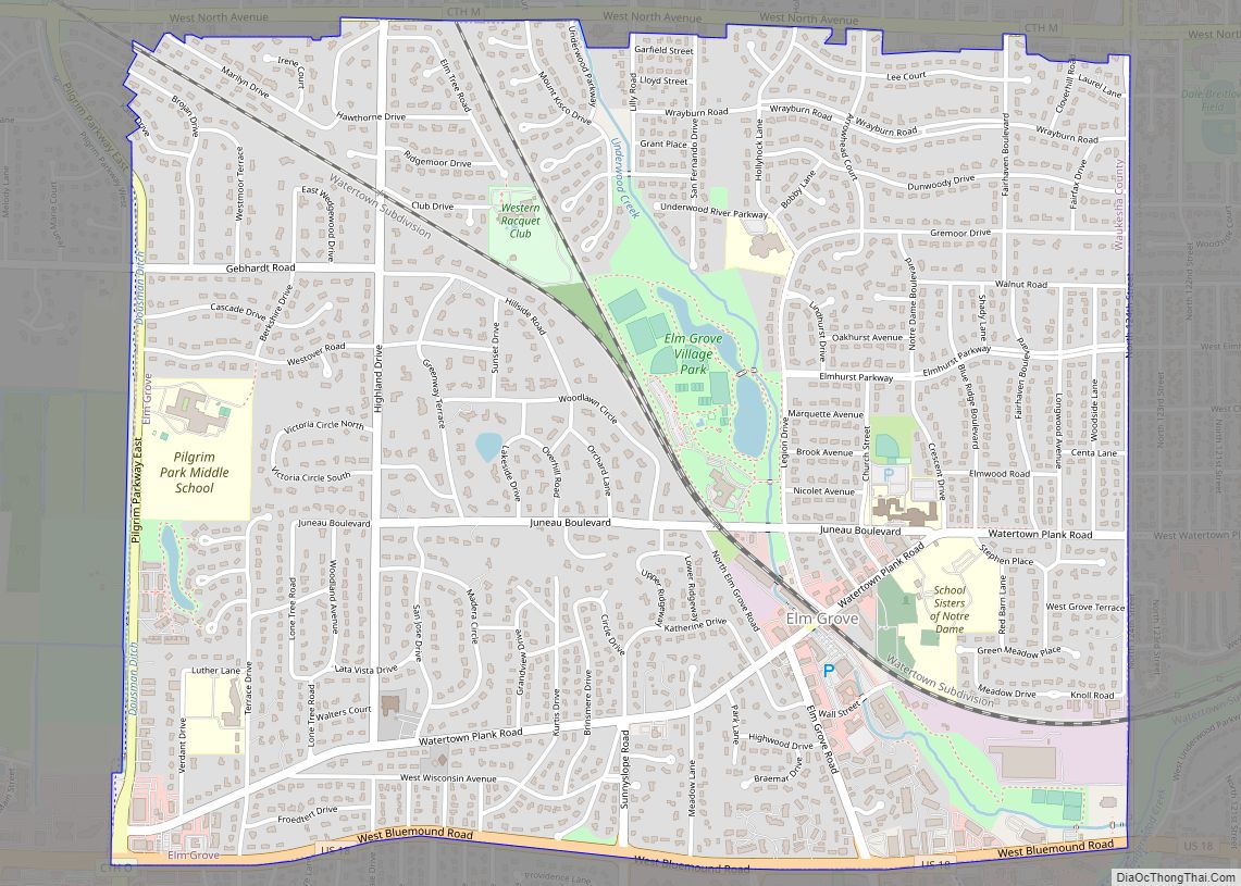
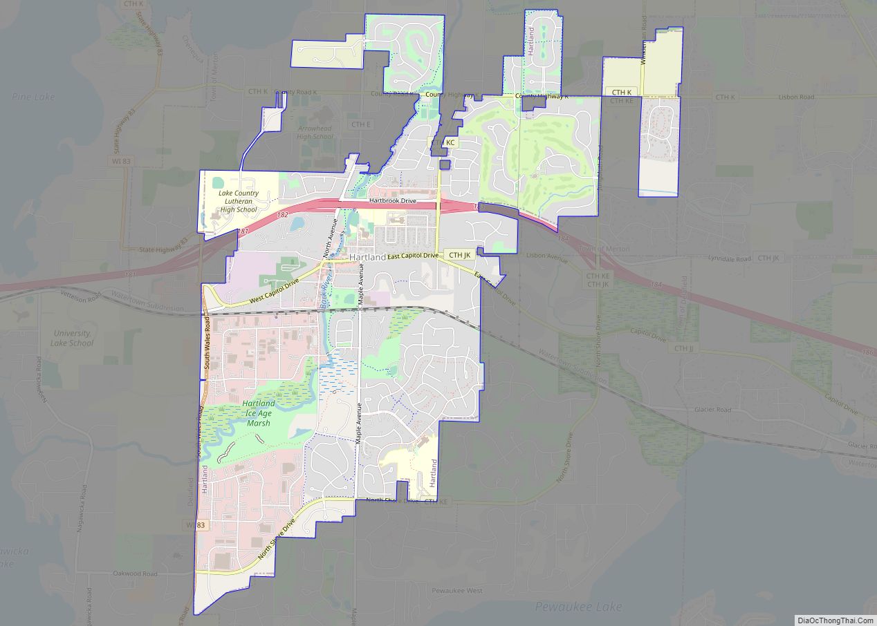
Online Interactive Map
Click on ![]() to view map in "full screen" mode.
to view map in "full screen" mode.
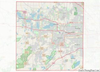
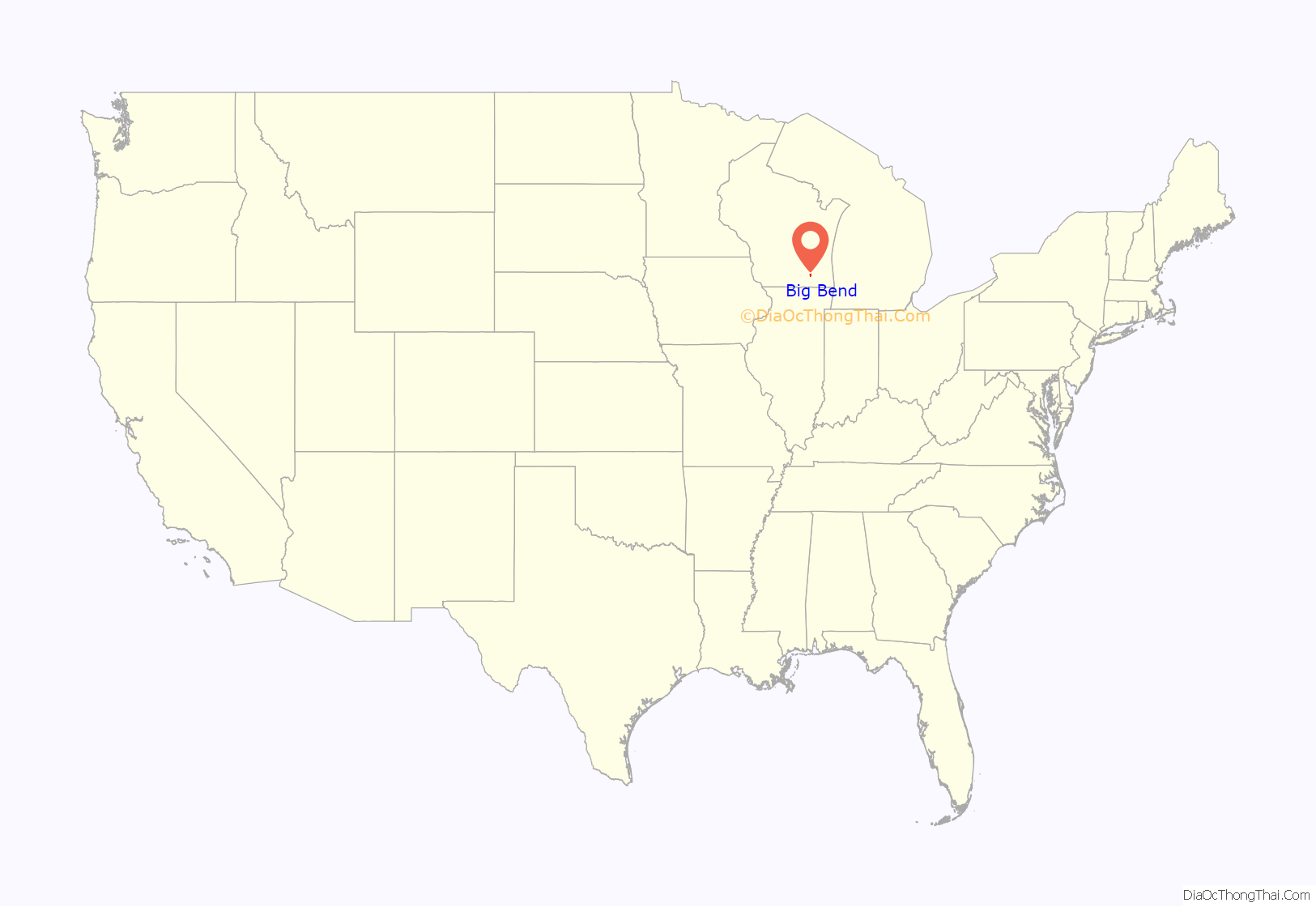
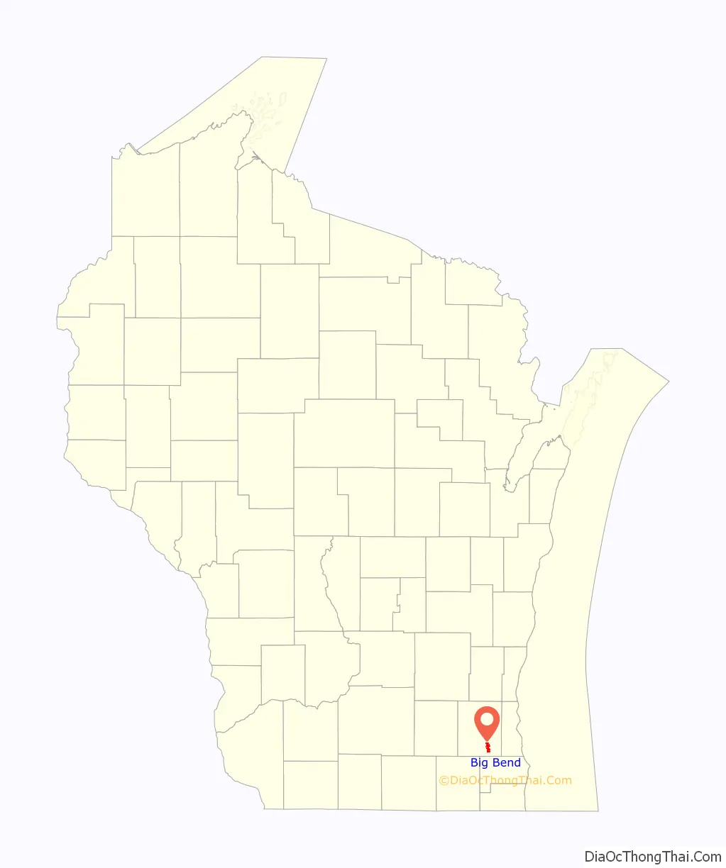
Big Bend location map. Where is Big Bend village?
History
Big Bend was named by native settlers for the change of direction in the Fox River. The first settlers arrived from Andover, Vermont in 1846.
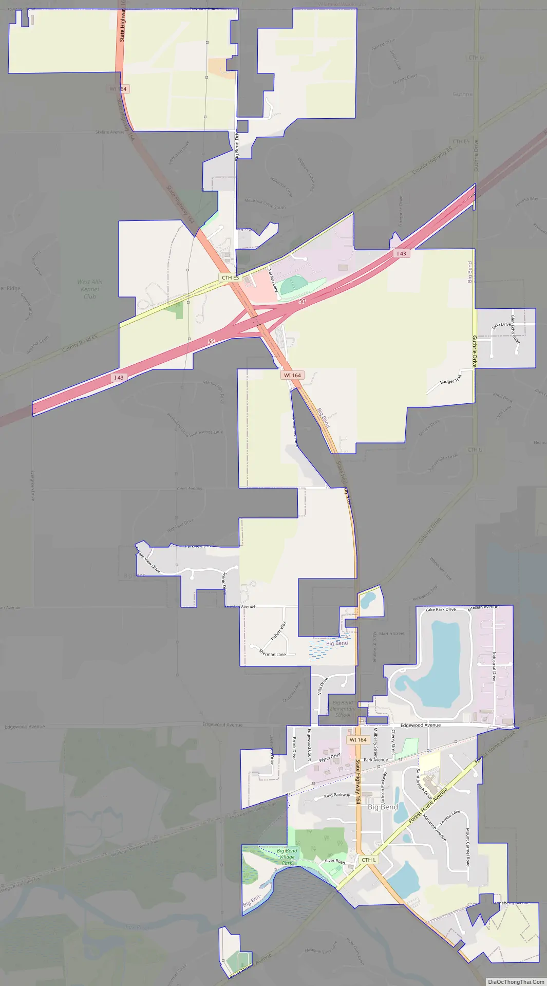
Big Bend Road Map
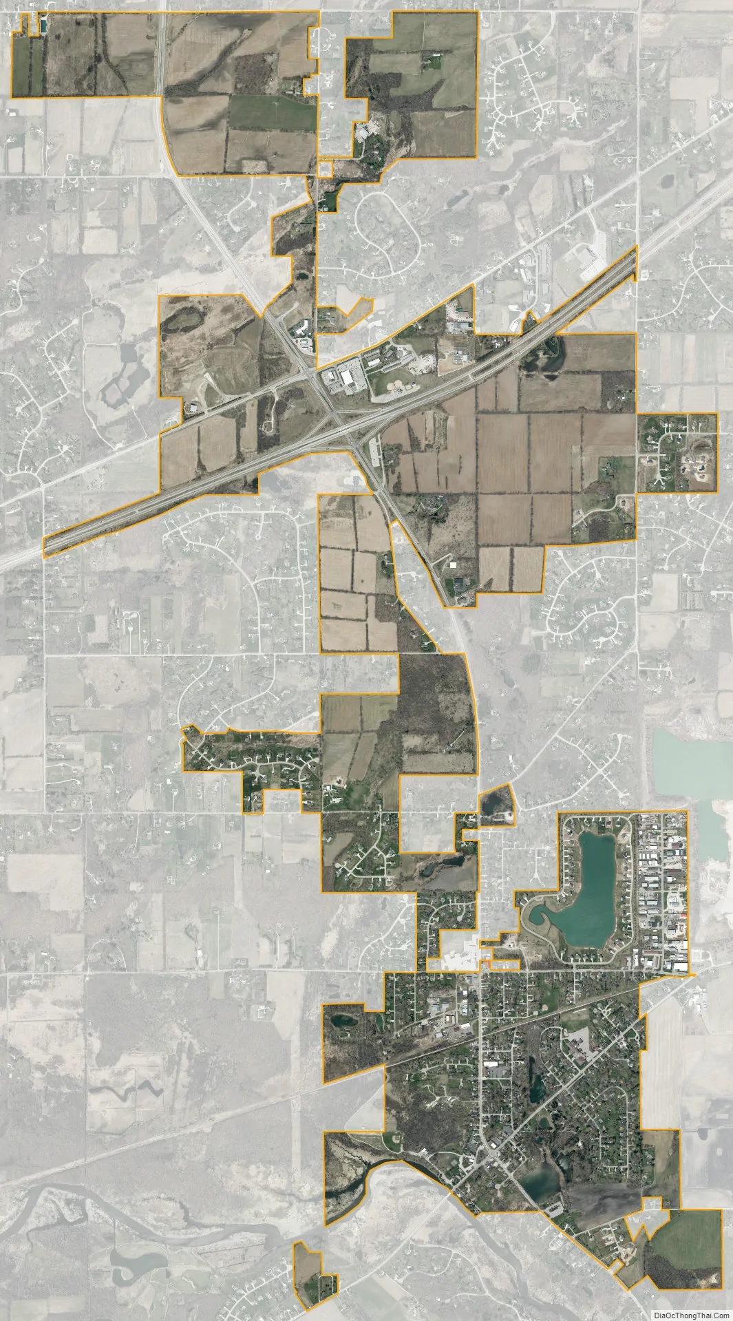
Big Bend city Satellite Map
Geography
Big Bend is located at 42°53′16″N 88°12′41″W / 42.88778°N 88.21139°W / 42.88778; -88.21139 (42.887862, -88.211333).
According to the United States Census Bureau, the village has a total area of 3.15 square miles (8.16 km), of which, 3.11 square miles (8.05 km) of it is land and 0.04 square miles (0.10 km) is water.
Big Bend is located on the banks of the Fox River. The town is situated beside a portion of the river where it changes course from east to south, hence the name “Big Bend”.
See also
Map of Wisconsin State and its subdivision:- Adams
- Ashland
- Barron
- Bayfield
- Brown
- Buffalo
- Burnett
- Calumet
- Chippewa
- Clark
- Columbia
- Crawford
- Dane
- Dodge
- Door
- Douglas
- Dunn
- Eau Claire
- Florence
- Fond du Lac
- Forest
- Grant
- Green
- Green Lake
- Iowa
- Iron
- Jackson
- Jefferson
- Juneau
- Kenosha
- Kewaunee
- La Crosse
- Lafayette
- Lake Michigan
- Lake Superior
- Langlade
- Lincoln
- Manitowoc
- Marathon
- Marinette
- Marquette
- Menominee
- Milwaukee
- Monroe
- Oconto
- Oneida
- Outagamie
- Ozaukee
- Pepin
- Pierce
- Polk
- Portage
- Price
- Racine
- Richland
- Rock
- Rusk
- Saint Croix
- Sauk
- Sawyer
- Shawano
- Sheboygan
- Taylor
- Trempealeau
- Vernon
- Vilas
- Walworth
- Washburn
- Washington
- Waukesha
- Waupaca
- Waushara
- Winnebago
- Wood
- Alabama
- Alaska
- Arizona
- Arkansas
- California
- Colorado
- Connecticut
- Delaware
- District of Columbia
- Florida
- Georgia
- Hawaii
- Idaho
- Illinois
- Indiana
- Iowa
- Kansas
- Kentucky
- Louisiana
- Maine
- Maryland
- Massachusetts
- Michigan
- Minnesota
- Mississippi
- Missouri
- Montana
- Nebraska
- Nevada
- New Hampshire
- New Jersey
- New Mexico
- New York
- North Carolina
- North Dakota
- Ohio
- Oklahoma
- Oregon
- Pennsylvania
- Rhode Island
- South Carolina
- South Dakota
- Tennessee
- Texas
- Utah
- Vermont
- Virginia
- Washington
- West Virginia
- Wisconsin
- Wyoming