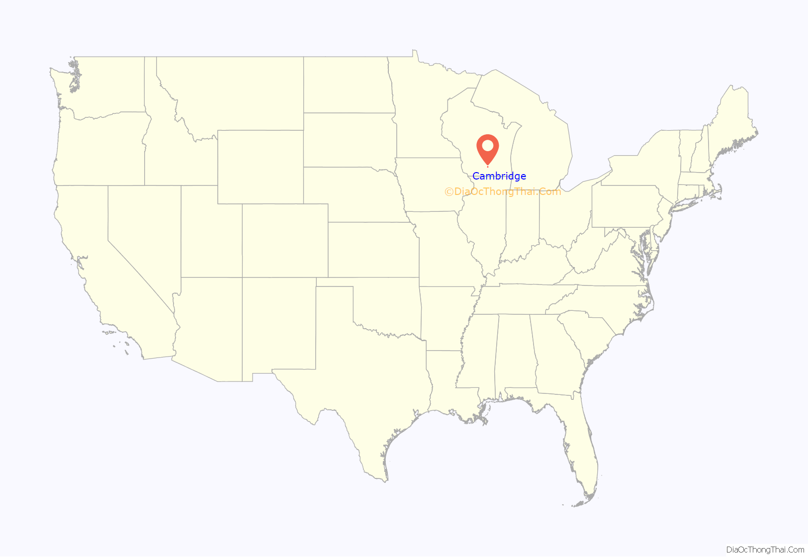
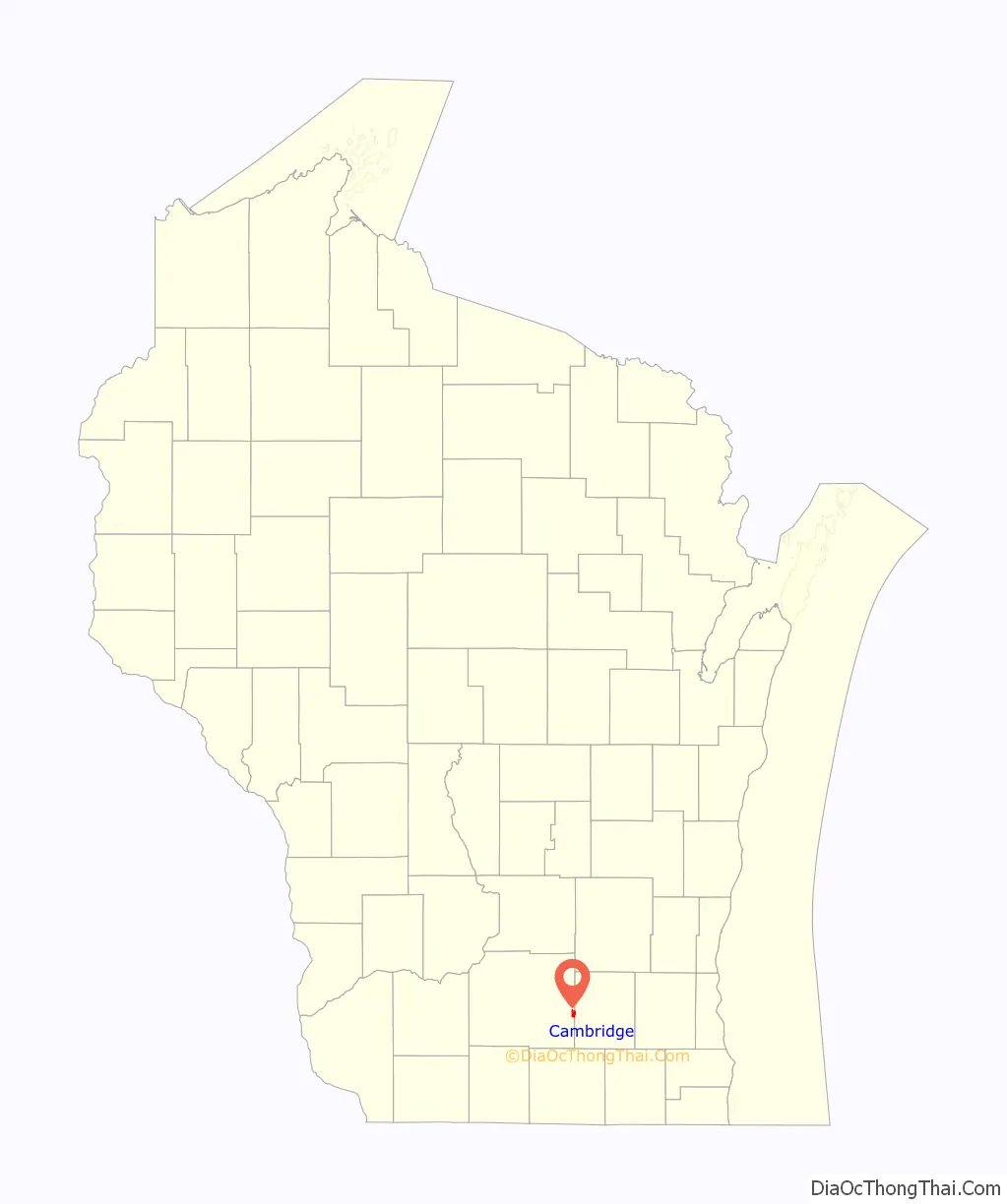
Cambridge is a village in Dane (mostly) and Jefferson counties in the U.S. state of Wisconsin. The population was 1,638 at the 2020 census. Of this, 1,539 were in Dane County, and 99 were in Jefferson County.
The Dane County portion of Cambridge is part of the Madison Metropolitan Statistical Area, while the Jefferson County portion is part of the Watertown–Fort Atkinson Micropolitan Statistical Area which is included in the Milwaukee-Racine-Waukesha CSA.
| Name: | Cambridge village |
|---|---|
| LSAD Code: | 47 |
| LSAD Description: | village (suffix) |
| State: | Wisconsin |
| County: | Dane County, Jefferson County |
| Elevation: | 850 ft (260 m) |
| Total Area: | 1.48 sq mi (3.83 km²) |
| Land Area: | 1.47 sq mi (3.81 km²) |
| Water Area: | 0.01 sq mi (0.02 km²) |
| Total Population: | 1,638 |
| Population Density: | 1,042.80/sq mi (402.54/km²) |
| Area code: | 608 |
| FIPS code: | 5512225 |
| GNISfeature ID: | 1562561 |
| Website: | ci.cambridge.wi.us |
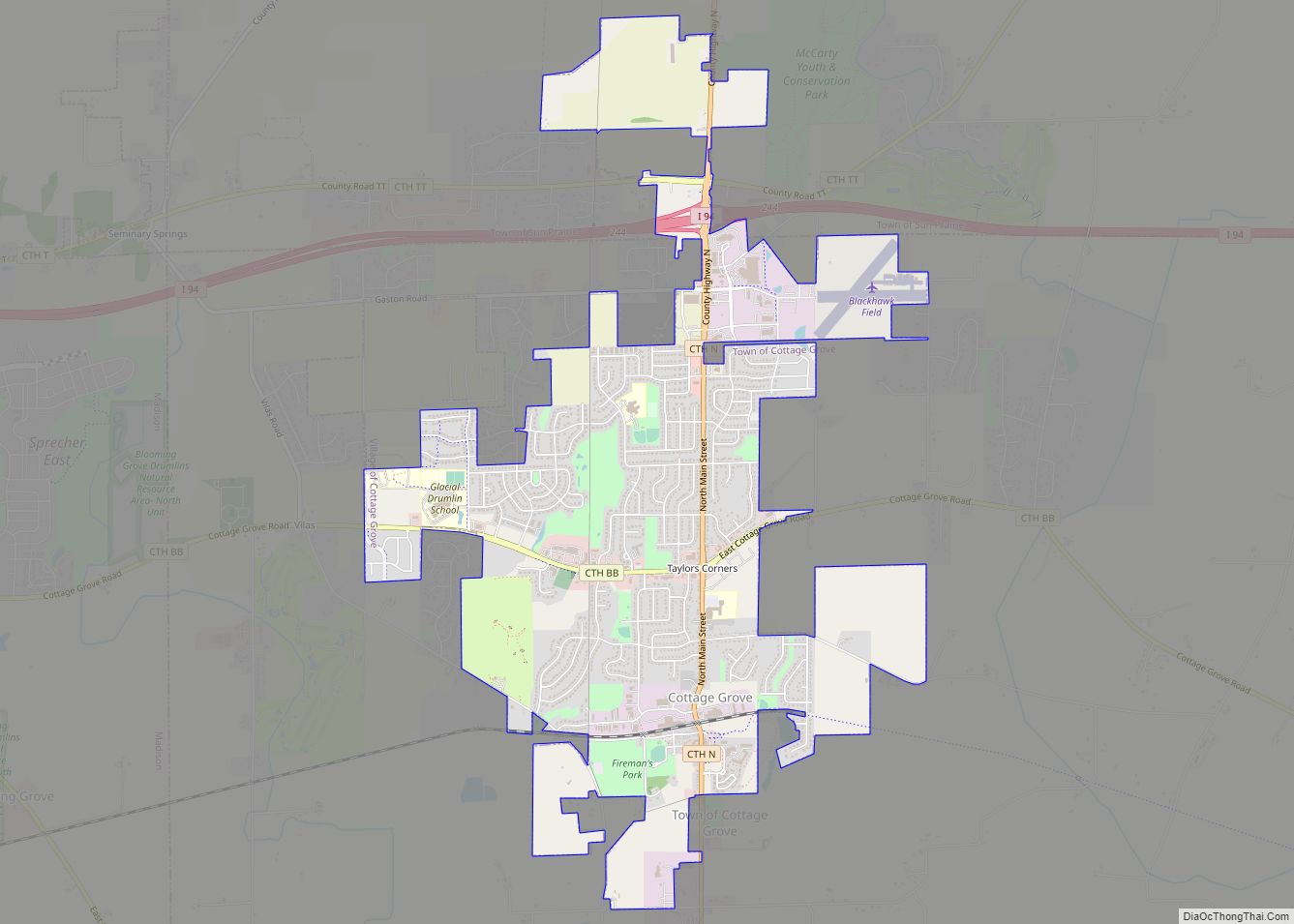
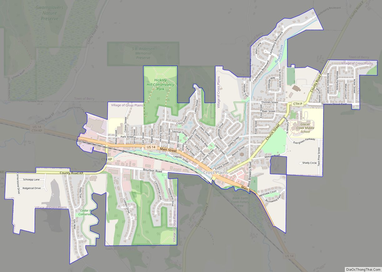
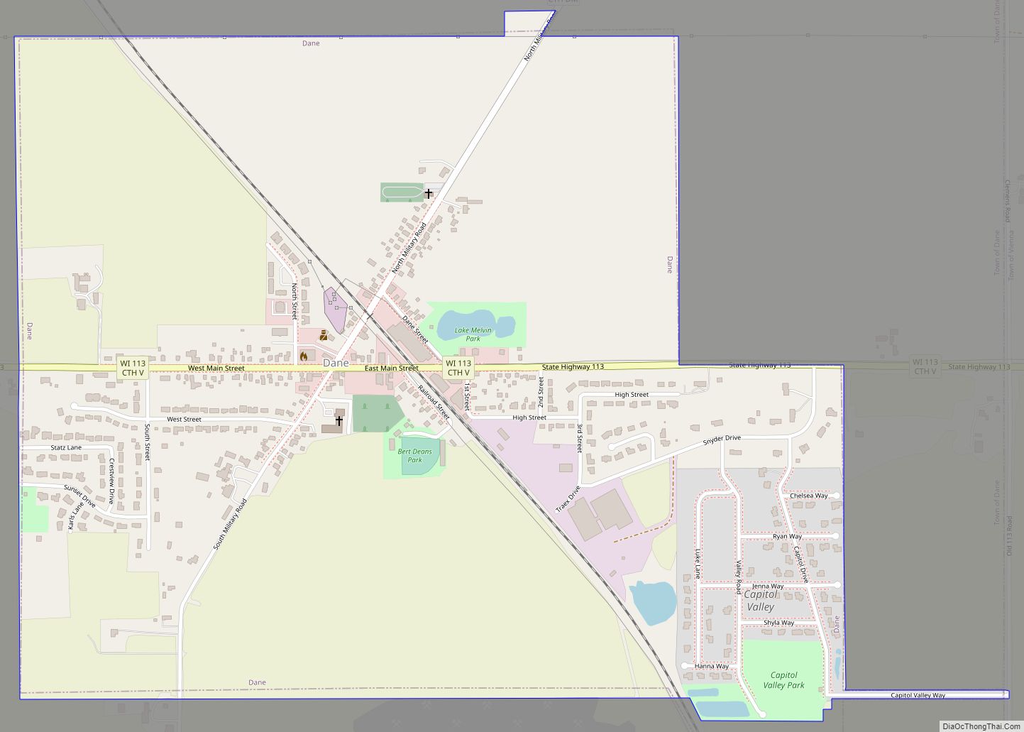
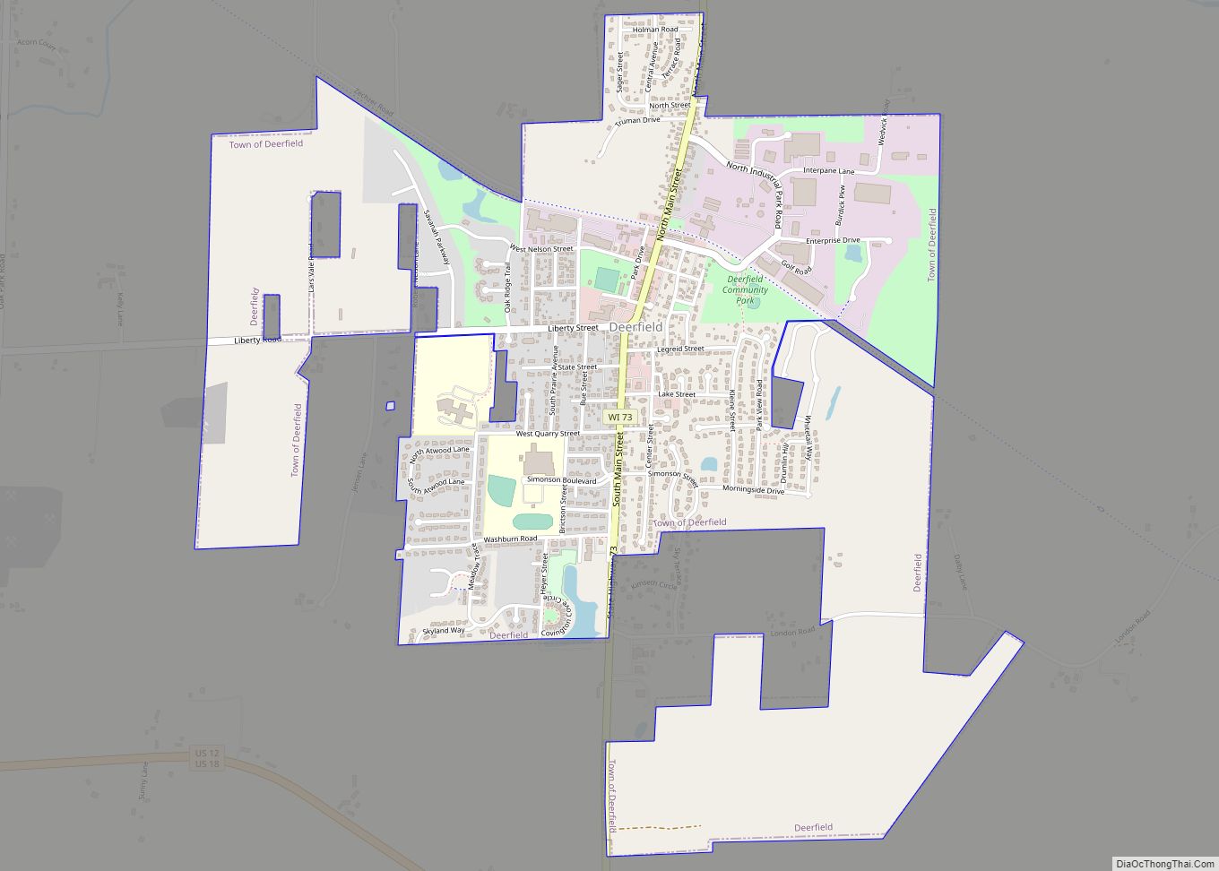
Online Interactive Map
Click on ![]() to view map in "full screen" mode.
to view map in "full screen" mode.
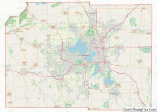
Cambridge location map. Where is Cambridge village?
History
Settlement–1890
The settlement of Cambridge dates back to October 15, 1847, when the farmer Joseph Keyes filed plans with the Register of Deeds of Dane County. The first structure in the area was a dam on the northern part of Koshkonong Creek. By the late 1880s, Cambridge had grown into a community of about 700 people with shops, hotels, and a post office. Future inventor Ole Evinrude lived there. In 1890 a devastating fire broke out, destroying most of the businesses and parts of Main Street.
1900s–2000s
The town was rebuilt by 1910, following the fire, and the invention of the automobile ignited tourism. Nearby Lake Ripley became a destination for many Chicago travelers.
During the 1980s and 1990s, Cambridge was touted as the “salt glaze pottery capital of the world” because of the potteries located there.
2000s–present
After Cambridge lost much of its pottery draw, the village began to draw mountain bikers from southeastern Wisconsin. CamRock County Park offers trails for hiking and cross-country skiing, and a 16-mile mountain bike track.
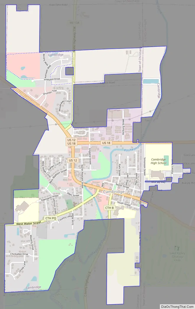
Cambridge Road Map
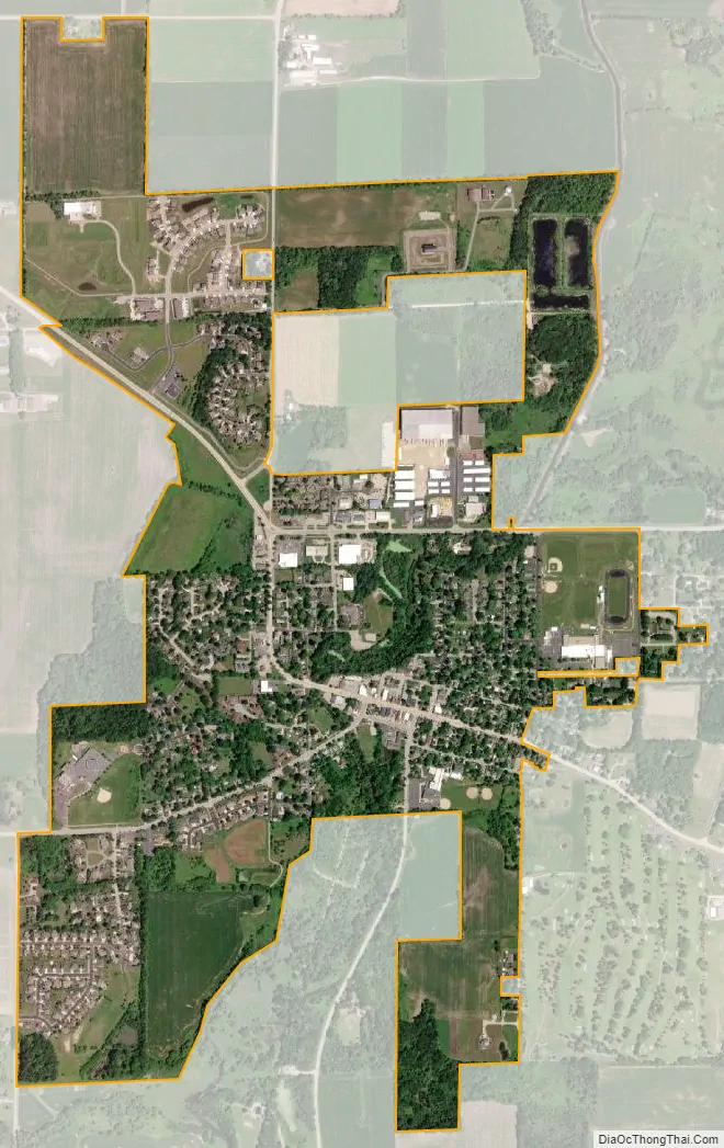
Cambridge city Satellite Map
Geography
Cambridge is located at 43°0′15″N 89°1′2″W / 43.00417°N 89.01722°W / 43.00417; -89.01722 (43.004089, -89.017201).
According to the United States Census Bureau, the village has a total area of 1.44 square miles (3.73 km), of which 1.43 square miles (3.70 km) is land and 0.01 square miles (0.03 km) is water. Koshkonong Creek runs through the center of the village, flowing south to Lake Koshkonong.
See also
Map of Wisconsin State and its subdivision:- Adams
- Ashland
- Barron
- Bayfield
- Brown
- Buffalo
- Burnett
- Calumet
- Chippewa
- Clark
- Columbia
- Crawford
- Dane
- Dodge
- Door
- Douglas
- Dunn
- Eau Claire
- Florence
- Fond du Lac
- Forest
- Grant
- Green
- Green Lake
- Iowa
- Iron
- Jackson
- Jefferson
- Juneau
- Kenosha
- Kewaunee
- La Crosse
- Lafayette
- Lake Michigan
- Lake Superior
- Langlade
- Lincoln
- Manitowoc
- Marathon
- Marinette
- Marquette
- Menominee
- Milwaukee
- Monroe
- Oconto
- Oneida
- Outagamie
- Ozaukee
- Pepin
- Pierce
- Polk
- Portage
- Price
- Racine
- Richland
- Rock
- Rusk
- Saint Croix
- Sauk
- Sawyer
- Shawano
- Sheboygan
- Taylor
- Trempealeau
- Vernon
- Vilas
- Walworth
- Washburn
- Washington
- Waukesha
- Waupaca
- Waushara
- Winnebago
- Wood
- Alabama
- Alaska
- Arizona
- Arkansas
- California
- Colorado
- Connecticut
- Delaware
- District of Columbia
- Florida
- Georgia
- Hawaii
- Idaho
- Illinois
- Indiana
- Iowa
- Kansas
- Kentucky
- Louisiana
- Maine
- Maryland
- Massachusetts
- Michigan
- Minnesota
- Mississippi
- Missouri
- Montana
- Nebraska
- Nevada
- New Hampshire
- New Jersey
- New Mexico
- New York
- North Carolina
- North Dakota
- Ohio
- Oklahoma
- Oregon
- Pennsylvania
- Rhode Island
- South Carolina
- South Dakota
- Tennessee
- Texas
- Utah
- Vermont
- Virginia
- Washington
- West Virginia
- Wisconsin
- Wyoming