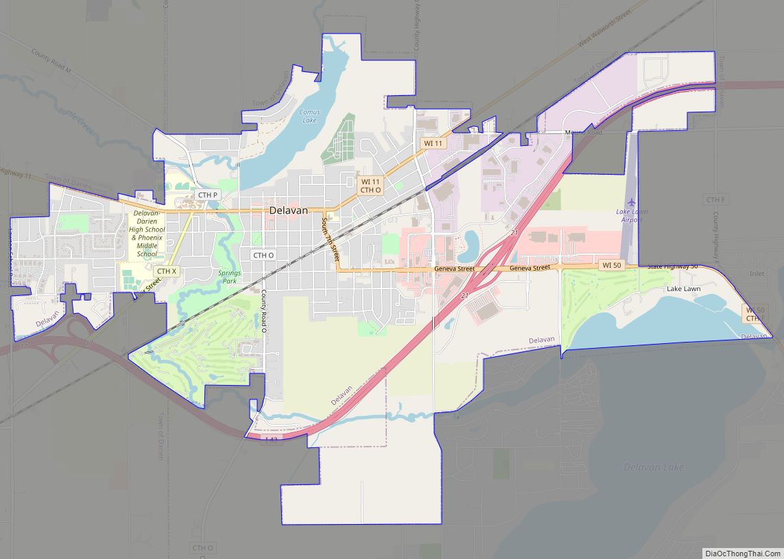
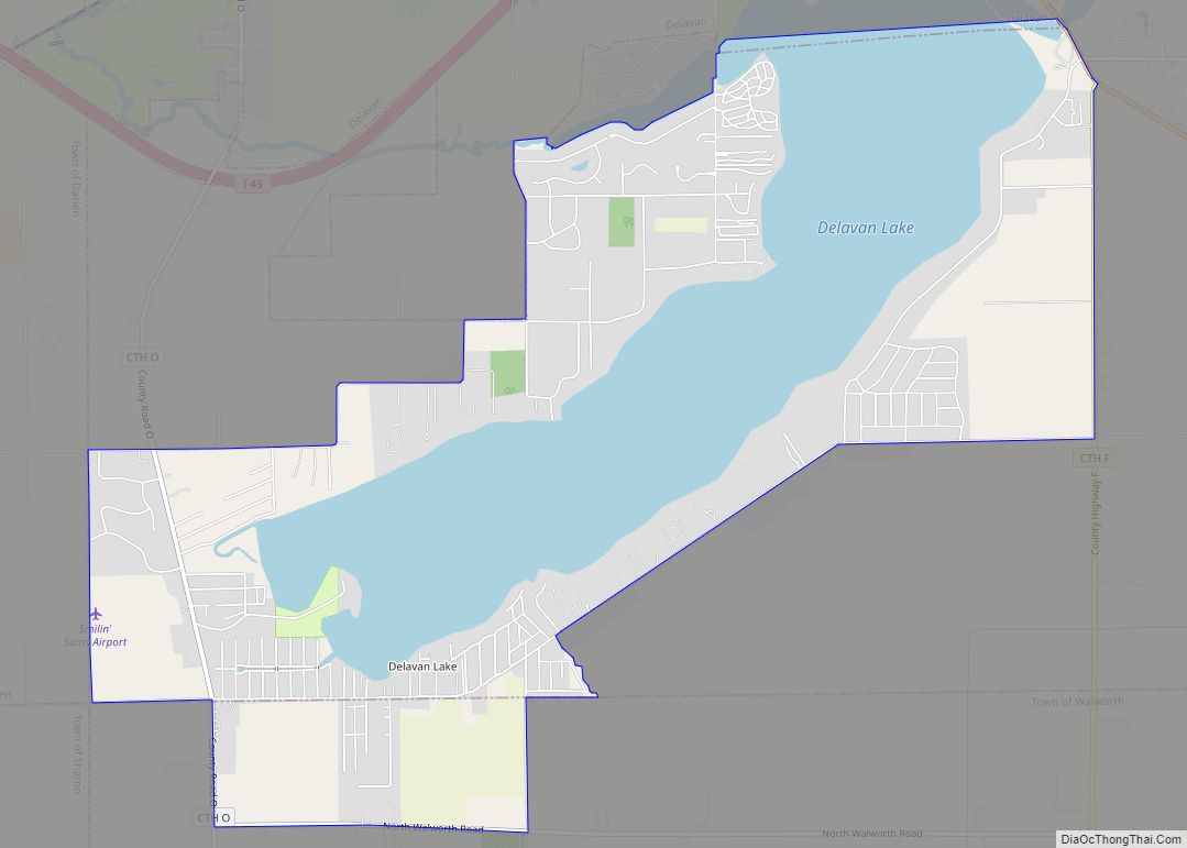
Delavan is a city in Walworth County, Wisconsin, United States. The population was 8,505 at the 2020 census. It is located 45 miles (72 km) southwest of Milwaukee. The city is located partially within the Town of Delavan, but the two entities are politically independent. Delavan is home to Delavan Lake which brings in a large number of tourists each year, and is also close to Lake Geneva, another popular tourist destination.
| Name: | Delavan city |
|---|---|
| LSAD Code: | 25 |
| LSAD Description: | city (suffix) |
| State: | Wisconsin |
| County: | Walworth County |
| Elevation: | 925 ft (282 m) |
| Total Area: | 7.43 sq mi (19.24 km²) |
| Land Area: | 6.97 sq mi (18.05 km²) |
| Water Area: | 0.46 sq mi (1.19 km²) 6.37% |
| Total Population: | 8,505 |
| Population Density: | 1,220.6/sq mi (471.3/km²) |
| Area code: | 262 |
| FIPS code: | 5519450 |
| Website: | www.ci.delavan.wi.us |
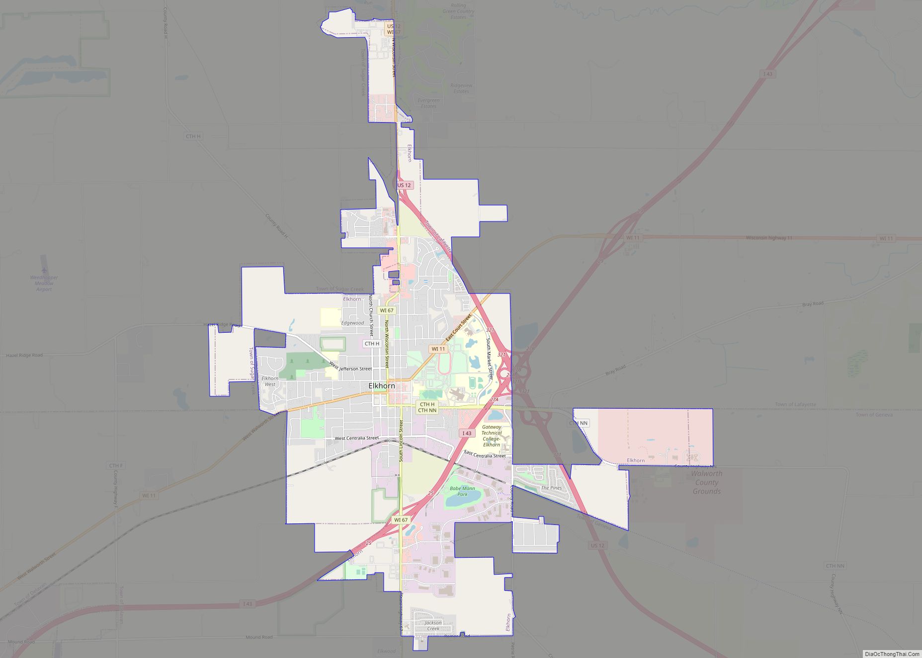
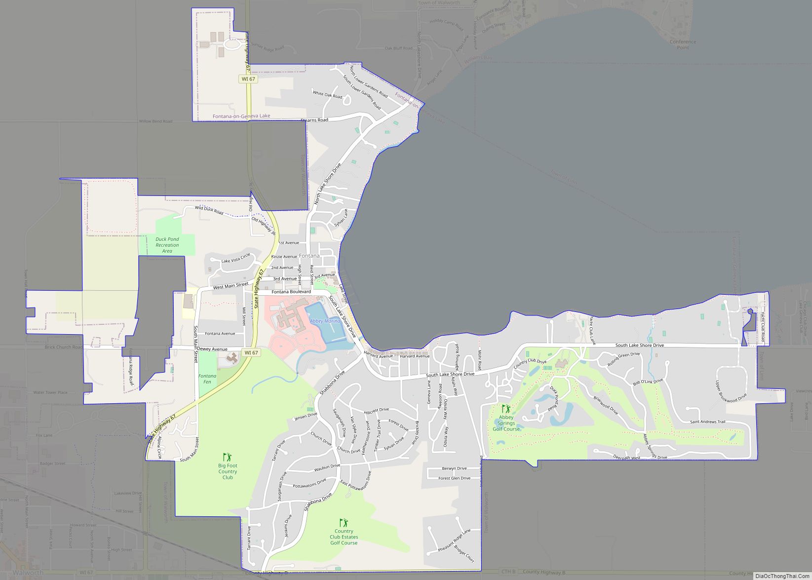
Online Interactive Map
Click on ![]() to view map in "full screen" mode.
to view map in "full screen" mode.
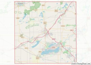
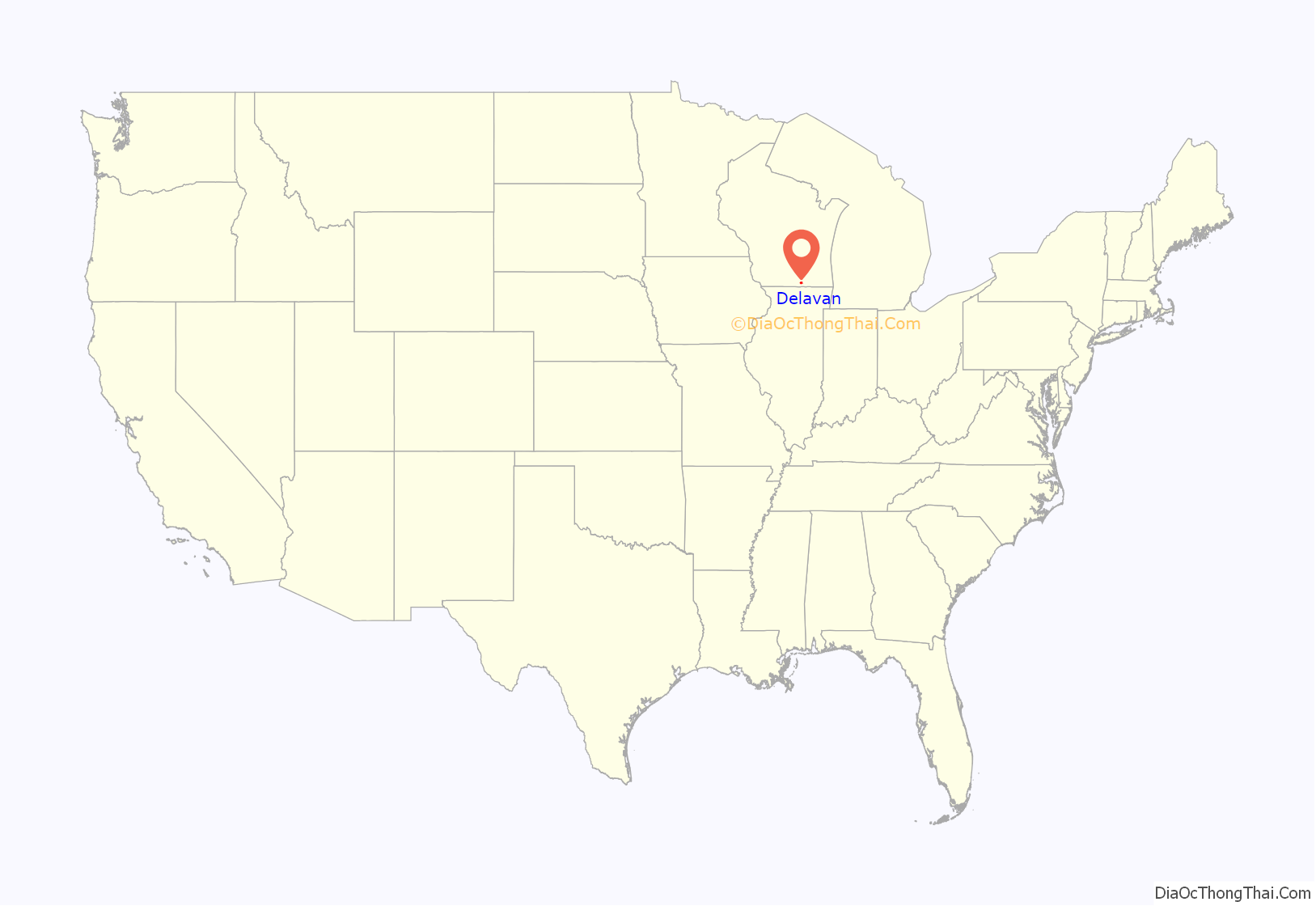
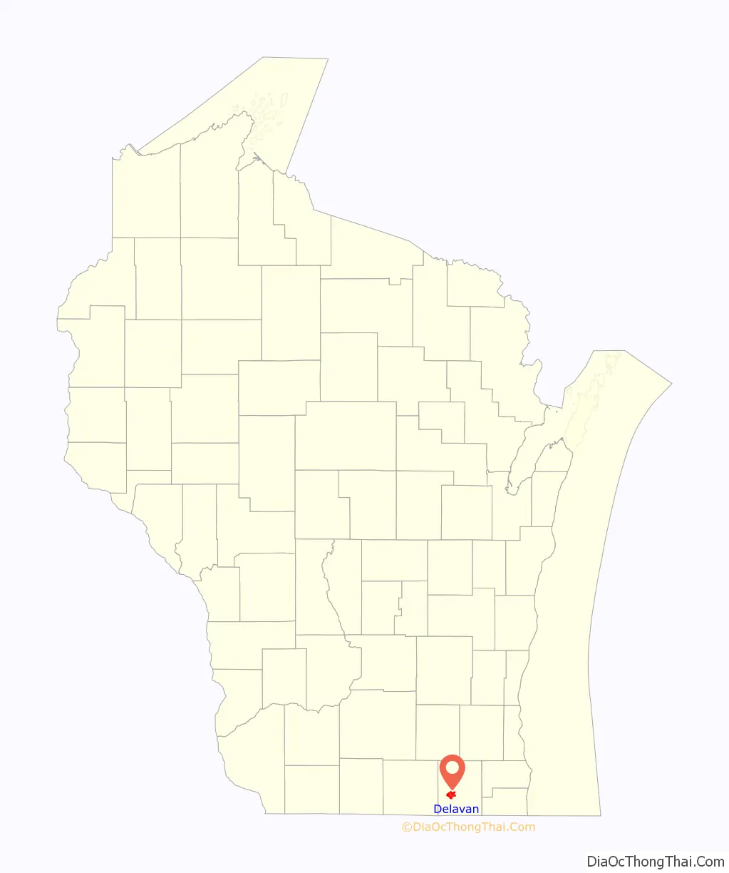
Delavan location map. Where is Delavan city?
History
Origins
Delavan sits in the middle of what was once an inland sea. During the last Ice Age, the final glaciation, named the Michigan tongue, covered this region. The Michigan tongue descended along the area of Lake Michigan. The “Delavan lobe” of this glacier broke off, pushing southwest into the area of Walworth County.
The first humans known to inhabit the Delavan area were Native Americans around 1000 BCE. Later, between 500 and 1000 CE, Mound Builders lived in what is now the Delavan Lake area. Mound Builders were of the Woodland culture. The effigy mounds they erected along the shores of Delavan Lake numbered well over 200, according to an archeological survey done in the late 19th century by Beloit College. Many were along the north shore of the lake where Lake Lawn Resort now stands. The Potawotomi Indians settled around the lake in the late 18th century, although there were only an estimated 240 in the county. Some of their burial mounds are preserved in what is now Assembly Park.
From the mid-17th century through the mid-18th century, Delavan was part of “New France”. It came under British rule in the Province of Quebec following the French and Indian War. In accordance with the Treaty of Paris (1783), it was turned over to the United States and became part of the newly established Northwest Territory.
American era
Between 1800 and 1836, the Delavan area was part of the Indiana Territory, followed by the Illinois Territory, finally becoming part of the Wisconsin Territory in 1836. Statehood was granted to Wisconsin in 1848.
Between 1847 and 1894, Delavan was home to 26 circus companies. The Mabie Brothers U.S. Olympic Circus, then the largest in America, arrived in 1847, to become the first circus to quarter in the territory of Wisconsin. Its famous rogue elephant, “Romeo”, stood 10+1⁄2 feet (3.20 m) high, and 10,500 pounds (4,800 kg). The original P. T. Barnum Circus was organized here in 1871 by William C. Coup and Dan Costello. Over 130 members of Delavan’s 19th century circus colony are buried in Spring Grove and St. Andrew cemeteries.
On July 21, 1948, Delavan was the site of Wisconsin’s Circus Centennial as part of the state’s celebration of 100 years of statehood. On May 2, 1966, Delavan was selected by the U.S. Post Office to issue on a first day cover basis, the five-cent American Circus commemorative postage stamp.
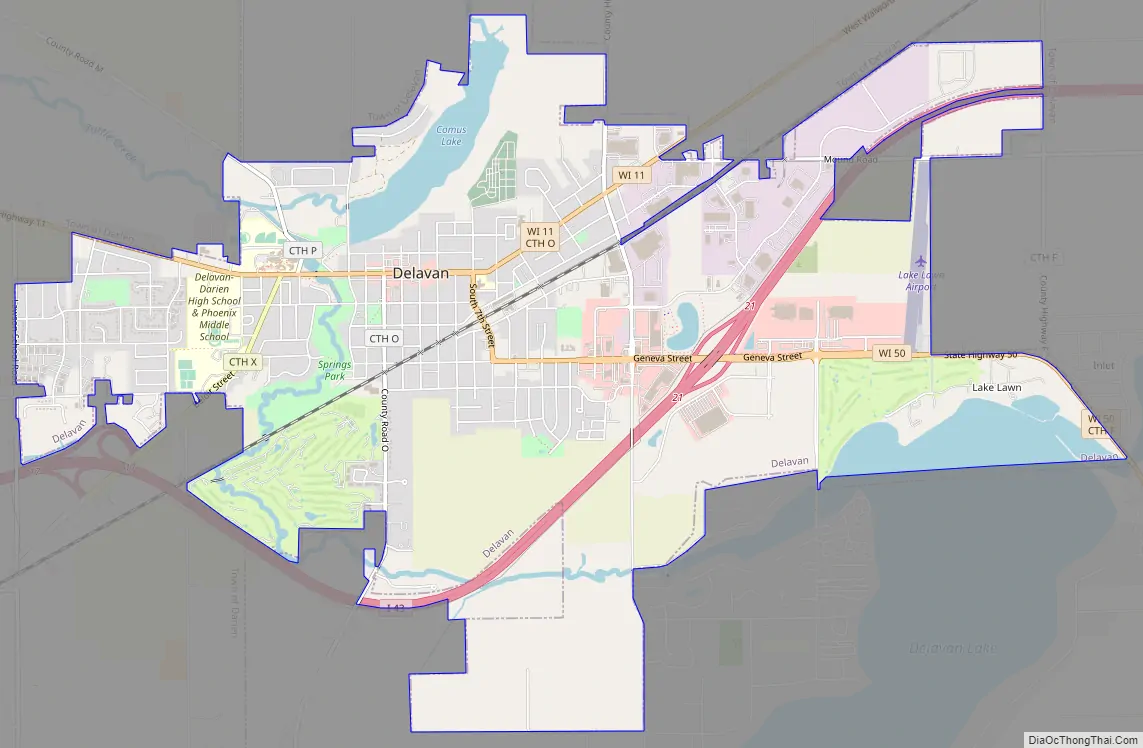
Delavan Road Map
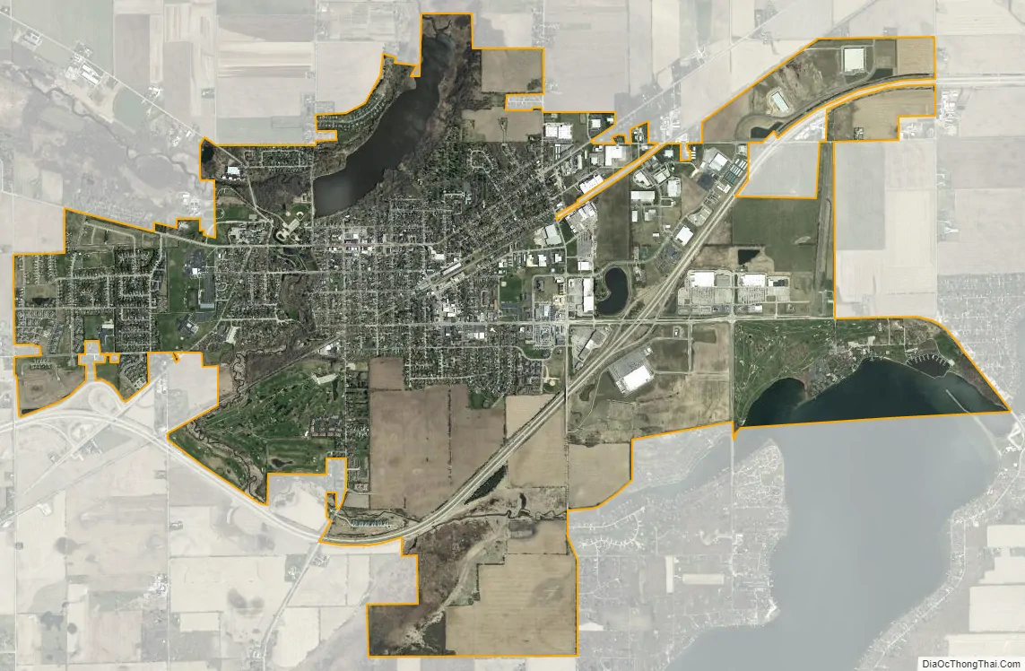
Delavan city Satellite Map
Geography
Delavan is located at 42°39′N 88°38′W / 42.650°N 88.633°W / 42.650; -88.633 (42.630689, -88.638108).
According to the United States Census Bureau, the city has a total area of 7.22 square miles (18.70 km), of which 6.76 square miles (17.51 km) is land (94%) and 0.46 square miles (1.19 km) is water (6%).
See also
Map of Wisconsin State and its subdivision:- Adams
- Ashland
- Barron
- Bayfield
- Brown
- Buffalo
- Burnett
- Calumet
- Chippewa
- Clark
- Columbia
- Crawford
- Dane
- Dodge
- Door
- Douglas
- Dunn
- Eau Claire
- Florence
- Fond du Lac
- Forest
- Grant
- Green
- Green Lake
- Iowa
- Iron
- Jackson
- Jefferson
- Juneau
- Kenosha
- Kewaunee
- La Crosse
- Lafayette
- Lake Michigan
- Lake Superior
- Langlade
- Lincoln
- Manitowoc
- Marathon
- Marinette
- Marquette
- Menominee
- Milwaukee
- Monroe
- Oconto
- Oneida
- Outagamie
- Ozaukee
- Pepin
- Pierce
- Polk
- Portage
- Price
- Racine
- Richland
- Rock
- Rusk
- Saint Croix
- Sauk
- Sawyer
- Shawano
- Sheboygan
- Taylor
- Trempealeau
- Vernon
- Vilas
- Walworth
- Washburn
- Washington
- Waukesha
- Waupaca
- Waushara
- Winnebago
- Wood
- Alabama
- Alaska
- Arizona
- Arkansas
- California
- Colorado
- Connecticut
- Delaware
- District of Columbia
- Florida
- Georgia
- Hawaii
- Idaho
- Illinois
- Indiana
- Iowa
- Kansas
- Kentucky
- Louisiana
- Maine
- Maryland
- Massachusetts
- Michigan
- Minnesota
- Mississippi
- Missouri
- Montana
- Nebraska
- Nevada
- New Hampshire
- New Jersey
- New Mexico
- New York
- North Carolina
- North Dakota
- Ohio
- Oklahoma
- Oregon
- Pennsylvania
- Rhode Island
- South Carolina
- South Dakota
- Tennessee
- Texas
- Utah
- Vermont
- Virginia
- Washington
- West Virginia
- Wisconsin
- Wyoming