Mineral Point is a city in Iowa County, Wisconsin, United States. The population was 2,581 at the 2020 census. The city is located within the Town of Mineral Point. Mineral Point is part of the Madison Metropolitan Statistical Area.
Mineral Point was settled in 1827, becoming a lead and zinc mining center, and commercial town in the 19th and early 20th centuries. In the mid-20th century it attracted artists and an artist’s colony and its tourism industry began to grow. The city’s well-preserved historical character within the varied natural topography of the driftless area has made it a regional tourist destination. Mineral Point is sometimes called Wisconsin’s third oldest city, but the Wisconsin Historical Society notes several older colonial settlements.
| Name: | Mineral Point city |
|---|---|
| LSAD Code: | 25 |
| LSAD Description: | city (suffix) |
| State: | Wisconsin |
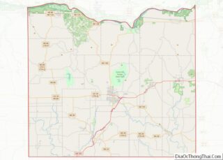
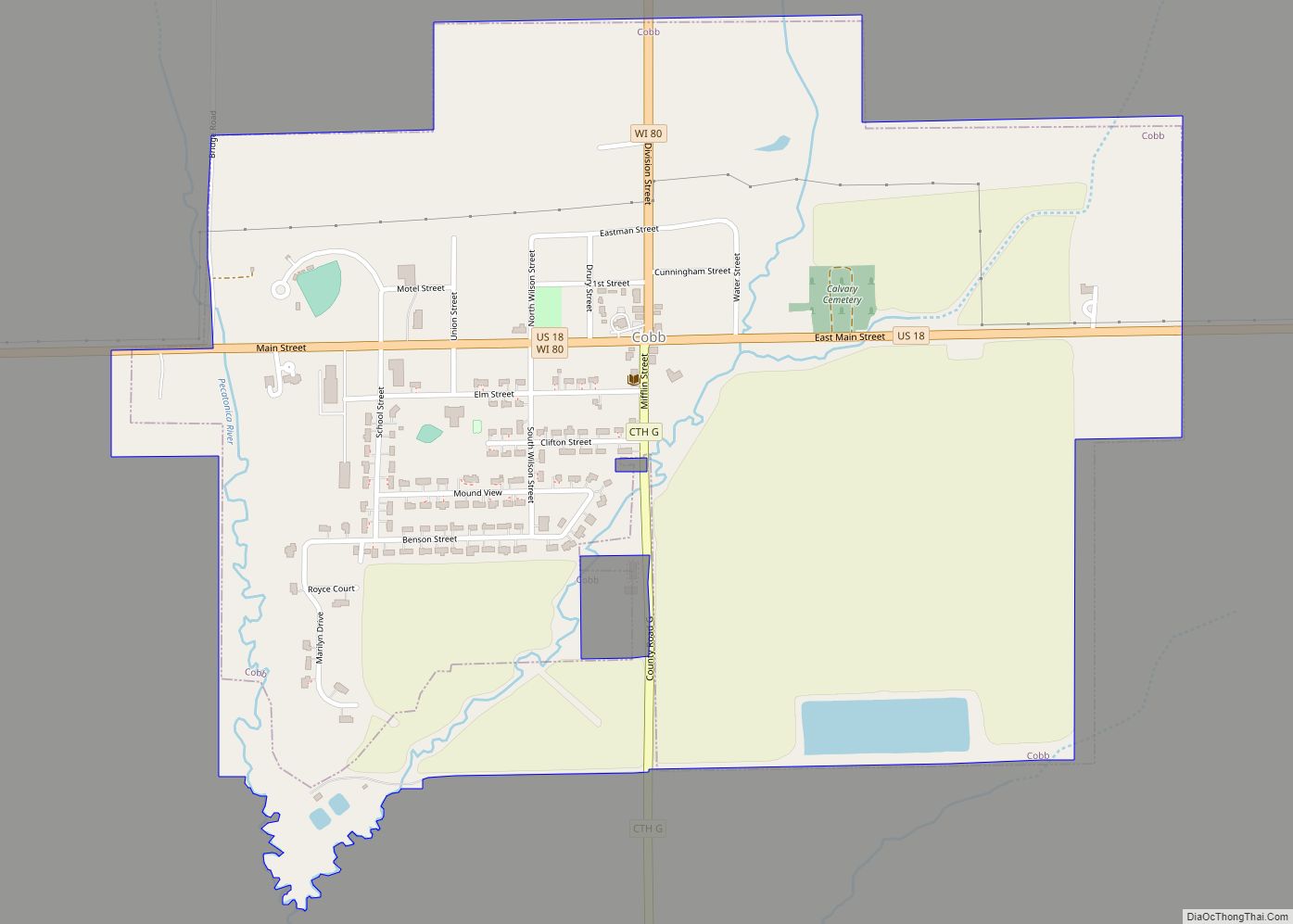
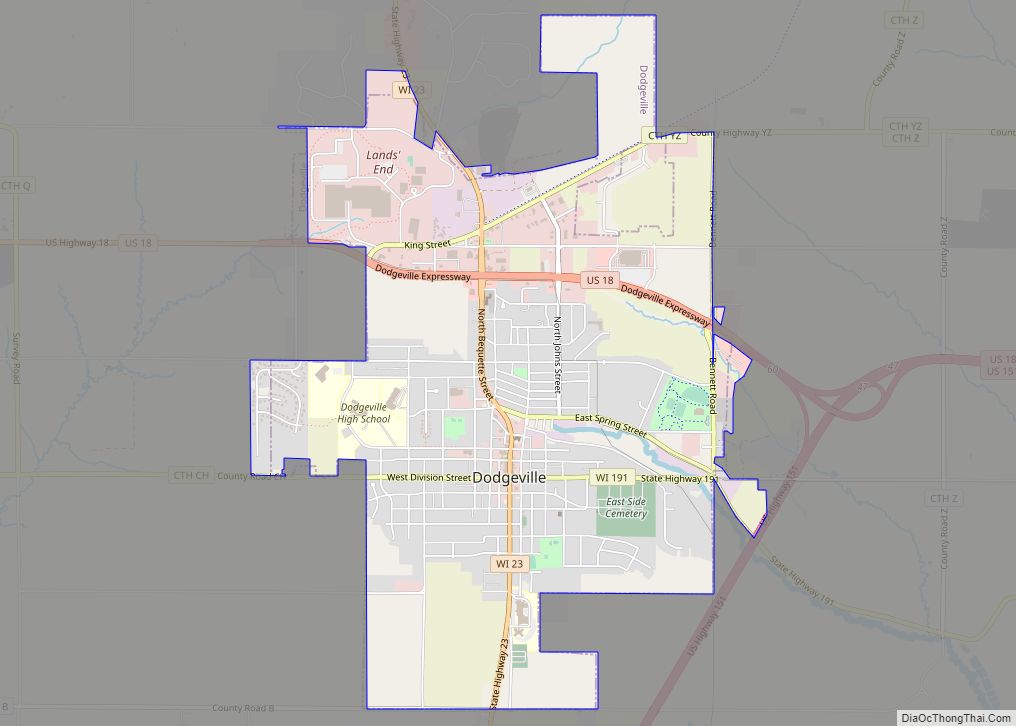
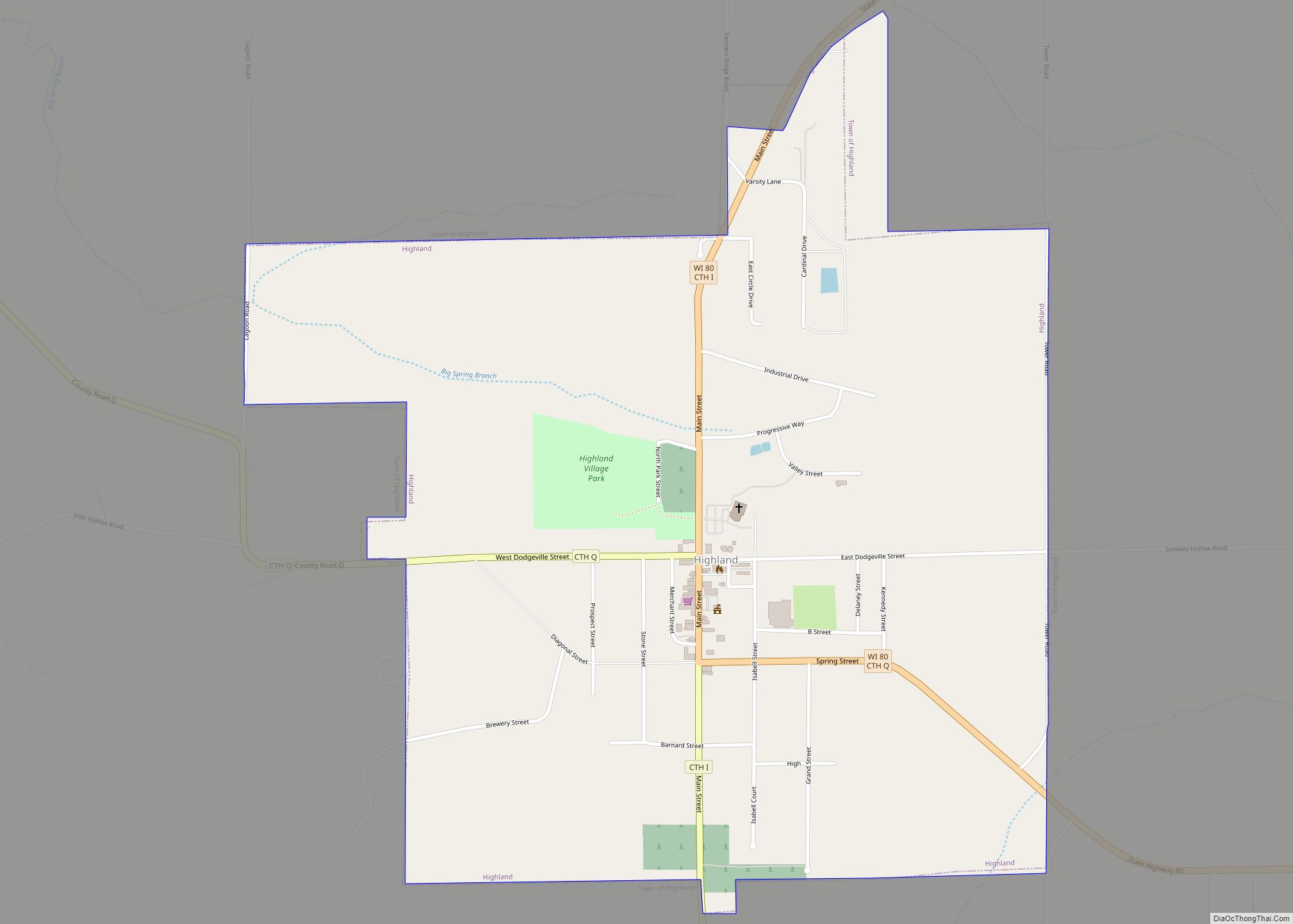
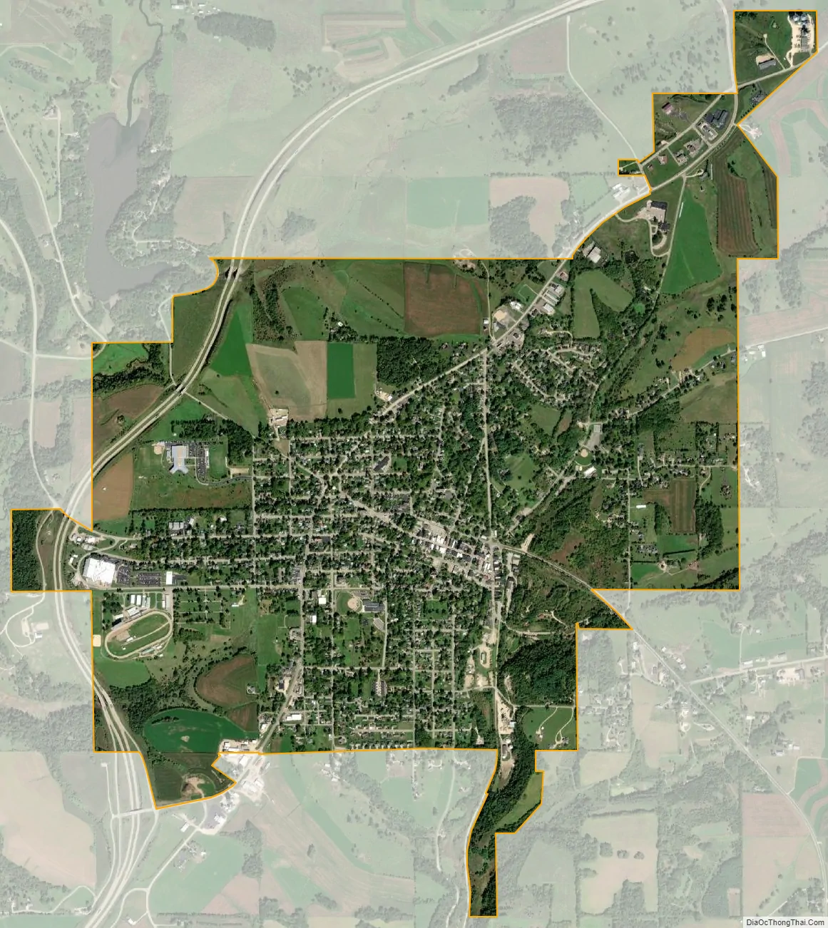
| County: | Iowa County |
| Total Area: | 3.08 sq mi (7.97 km²) |
| Land Area: | 3.08 sq mi (7.97 km²) |
| Water Area: | 0.00 sq mi (0.00 km²) |
| Total Population: | 2,581 |
| Area code: | 608 |
| FIPS code: | 5553100 |
| Website: | www.mineralpoint.net |
Online Interactive Map
Click on ![]() to view map in "full screen" mode.
to view map in "full screen" mode.
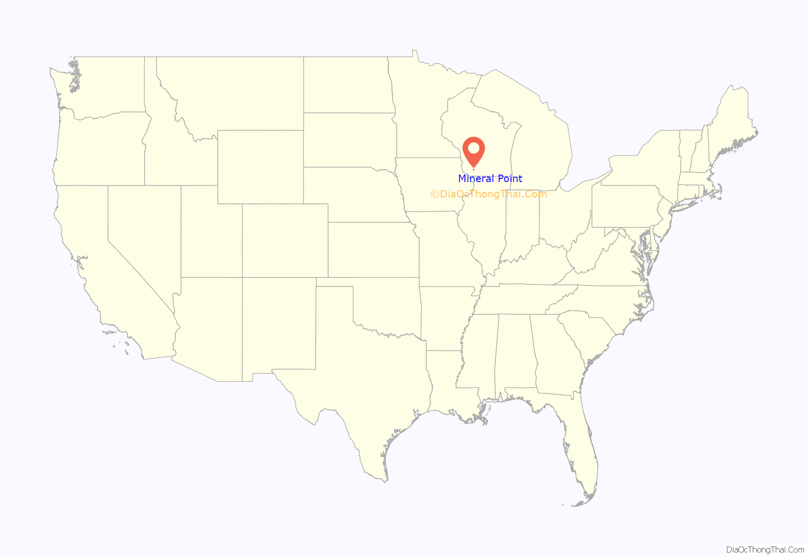
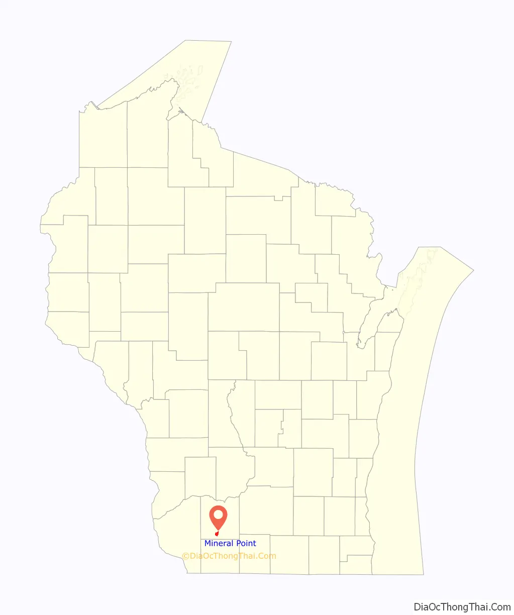
Mineral Point location map. Where is Mineral Point city?
History
The first European settlement at Mineral Point began in 1827. One of the first settlers to the area was Henry Dodge and his family who settled a few miles away from Mineral Point. During the following year, large quantities of galena, or lead ore, were discovered around the settlement in shallow deposits. Lead had many uses at the time, and settlers began to flock to the region hoping to make a living by extracting the easily accessible mineral. Lead deposits extended throughout an area that also included Dubuque, Iowa and Galena, Illinois, but Mineral Point became the center of lead mining operations within the bounds of present-day Wisconsin (then part of Michigan Territory). By 1829, the region’s growing population led to the creation of Iowa County, which included all of the lead mining lands within the territory. Mineral Point was established as the county seat later that year. During the Black Hawk War of 1832, residents of Mineral Point built Fort Jackson to protect the town from a possible attack. The young settlement’s importance was further confirmed in 1834 when it was selected as the site of one of two federal land offices responsible for distributing public land to settlers within the area that now encompasses Wisconsin.
When Wisconsin Territory was created in 1836, Mineral Point hosted the inauguration of the first territorial governor, Henry Dodge, and the territorial secretary, John S. Horner. During the ceremony, a design by Horner was officially recognized as the Great Seal of Wisconsin Territory. It displayed an arm holding a pickaxe over a pile of lead ore, demonstrating the importance of Mineral Point’s early mining economy to the new territory. A census conducted in the months after the inauguration showed that Iowa County had 5,234 inhabitants, making it the most populous county in the Wisconsin Territory east of the Mississippi River.
Mineral Point remained an important lead mining center during the 1840s. Although the most easily accessible lead deposits on the surface were being exhausted by this time, new immigrants began to arrive with more refined techniques for extracting ore. The largest group came from Cornwall, which had been a mining center for centuries. Experienced Cornish miners were attracted to the lead mining opportunities in Mineral Point, and by 1845 roughly half of the town’s population had Cornish ancestry. The original dwellings of some of these early Cornish immigrants have been restored at the Pendarvis Historic Site in Mineral Point. Lead continued to be produced in abundant quantities by the Cornish miners, and in 1847, the Mineral Point Tribune reported that the town’s furnaces were producing 43,800 pounds (19,900 kg) of lead each day.
Mining activity in Mineral Point began to decline in the following years. In 1848, the same year that Wisconsin achieved statehood, gold was discovered in California. Many experienced miners left Mineral Point to look for gold, and in all, the town lost 700 people during the California Gold Rush. While the lead industry in Mineral Point continued into the 1860s, the town never recovered its former importance. A further blow was struck in 1861 when the county seat of Iowa County was relocated to nearby Dodgeville, Wisconsin, where it remains today. Afterwards there was an intense rivalry between the two cities, during which Mineral Point fired a cannon towards Dodgeville’s direction.
As lead mining declined in Mineral Point, zinc mining and smelting became important new industries. Zinc ore was discovered with increasing frequency near the bottoms of old lead mines. The Mineral Point Zinc Company was founded in 1882, and by 1891 it was operating the largest zinc oxide works in the United States at Mineral Point. Zinc mining and processing continued on a large scale until the 1920s.
In 1897 Robert M. La Follette gave his “The danger threatening representative government” speech in Mineral Point.
In the 1930s, a local resident, Robert Neal, together with his partner, Edgar Hellum, aimed to preserve some of the history of the Cornish miners’ and settlers’ stone structures. Over the next decades, they bought and restored buildings, and turned one into a popular Cornish restaurant attracting tourists. They had both studied art, and they also attracted other artists to move to the area. These buildings are now the Pendarvis Historic Site.
Mineral Point Road Map
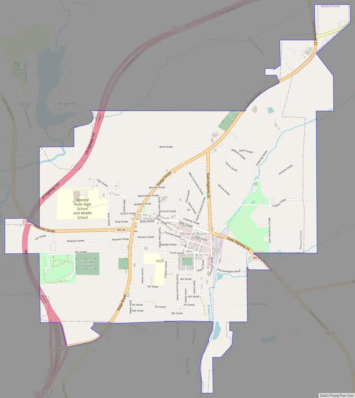
Mineral Point city Satellite Map
Geography
According to the United States Census Bureau, the city has a total area of 3.08 square miles (7.98 km), all of it land.
Mineral Point lies within the Driftless Area.
See also
Map of Wisconsin State and its subdivision:- Adams
- Ashland
- Barron
- Bayfield
- Brown
- Buffalo
- Burnett
- Calumet
- Chippewa
- Clark
- Columbia
- Crawford
- Dane
- Dodge
- Door
- Douglas
- Dunn
- Eau Claire
- Florence
- Fond du Lac
- Forest
- Grant
- Green
- Green Lake
- Iowa
- Iron
- Jackson
- Jefferson
- Juneau
- Kenosha
- Kewaunee
- La Crosse
- Lafayette
- Lake Michigan
- Lake Superior
- Langlade
- Lincoln
- Manitowoc
- Marathon
- Marinette
- Marquette
- Menominee
- Milwaukee
- Monroe
- Oconto
- Oneida
- Outagamie
- Ozaukee
- Pepin
- Pierce
- Polk
- Portage
- Price
- Racine
- Richland
- Rock
- Rusk
- Saint Croix
- Sauk
- Sawyer
- Shawano
- Sheboygan
- Taylor
- Trempealeau
- Vernon
- Vilas
- Walworth
- Washburn
- Washington
- Waukesha
- Waupaca
- Waushara
- Winnebago
- Wood
- Alabama
- Alaska
- Arizona
- Arkansas
- California
- Colorado
- Connecticut
- Delaware
- District of Columbia
- Florida
- Georgia
- Hawaii
- Idaho
- Illinois
- Indiana
- Iowa
- Kansas
- Kentucky
- Louisiana
- Maine
- Maryland
- Massachusetts
- Michigan
- Minnesota
- Mississippi
- Missouri
- Montana
- Nebraska
- Nevada
- New Hampshire
- New Jersey
- New Mexico
- New York
- North Carolina
- North Dakota
- Ohio
- Oklahoma
- Oregon
- Pennsylvania
- Rhode Island
- South Carolina
- South Dakota
- Tennessee
- Texas
- Utah
- Vermont
- Virginia
- Washington
- West Virginia
- Wisconsin
- Wyoming