Dousman is a village in Waukesha County, Wisconsin, United States. The population was 2,419 at the 2020 census.
| Name: | Dousman village |
|---|---|
| LSAD Code: | 47 |
| LSAD Description: | village (suffix) |
| State: | Wisconsin |
| County: | Waukesha County |
| Elevation: | 866 ft (264 m) |
| Total Area: | 2.77 sq mi (7.17 km²) |
| Land Area: | 2.63 sq mi (6.82 km²) |
| Water Area: | 0.14 sq mi (0.35 km²) |
| Total Population: | 2,419 |
| Population Density: | 884.50/sq mi (341.54/km²) |
| ZIP code: | 53118 |
| Area code: | 262 |
| FIPS code: | 5520550 |
| GNISfeature ID: | 1564086 |
| Website: | www.villageofdousman.com |
Online Interactive Map
Click on ![]() to view map in "full screen" mode.
to view map in "full screen" mode.
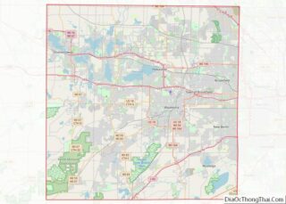
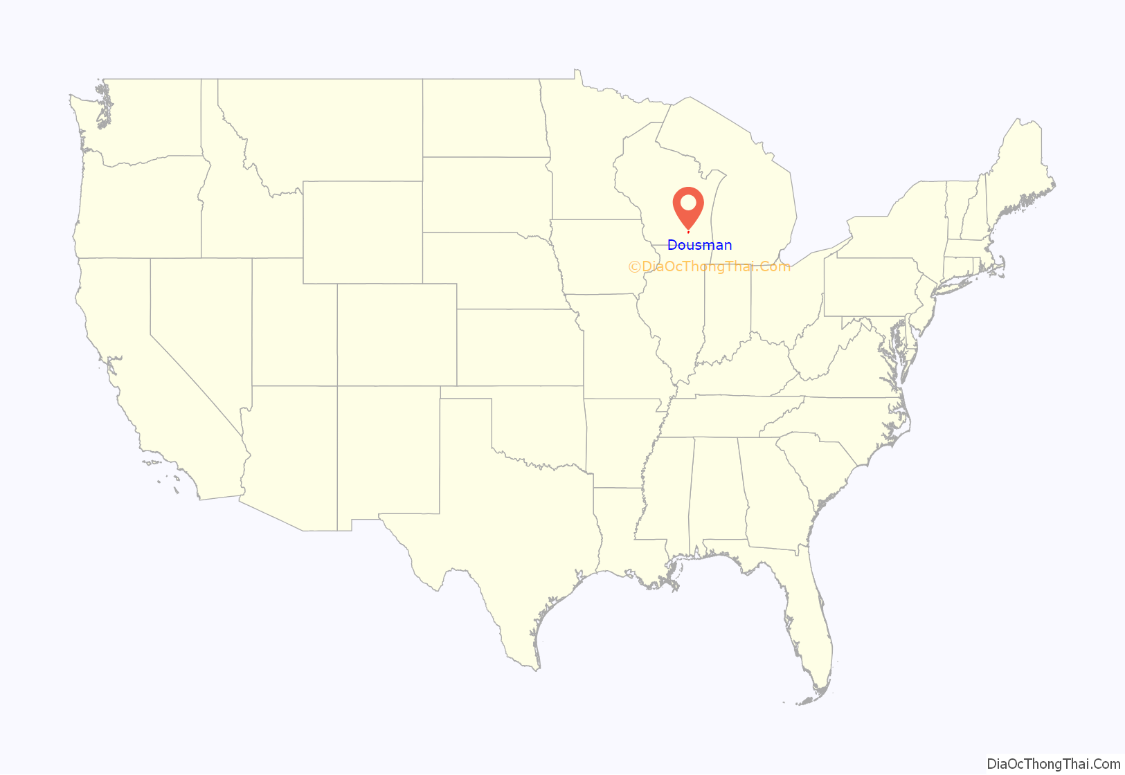
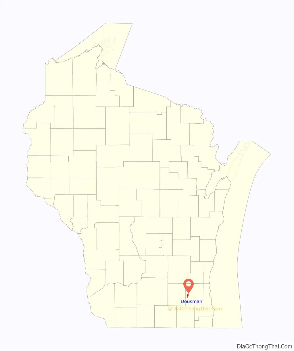
Dousman location map. Where is Dousman village?
History
A post office called Dousman has been in operation since 1856. Founded in 1881, the village was named for Talbot C. Dousman, a local farmer and businessman who helped bring the Chicago and North Western railroad to the area. The village was incorporated in 1917.
The village was at one time called “Bullfrog Station” because of the numerous bullfrogs in the area. The local baseball team is still called the Dousman Frogs and an annual frog jumping competition takes place during Dousman’s Derby Days.
The Dousman Community is very catholic based. Deb’s Diner even had Fish Fry Fridays for the Catholics. There are two catholic churches St. Mary and St. Bruno. Most of the people who first came to Dousman were Catholic.
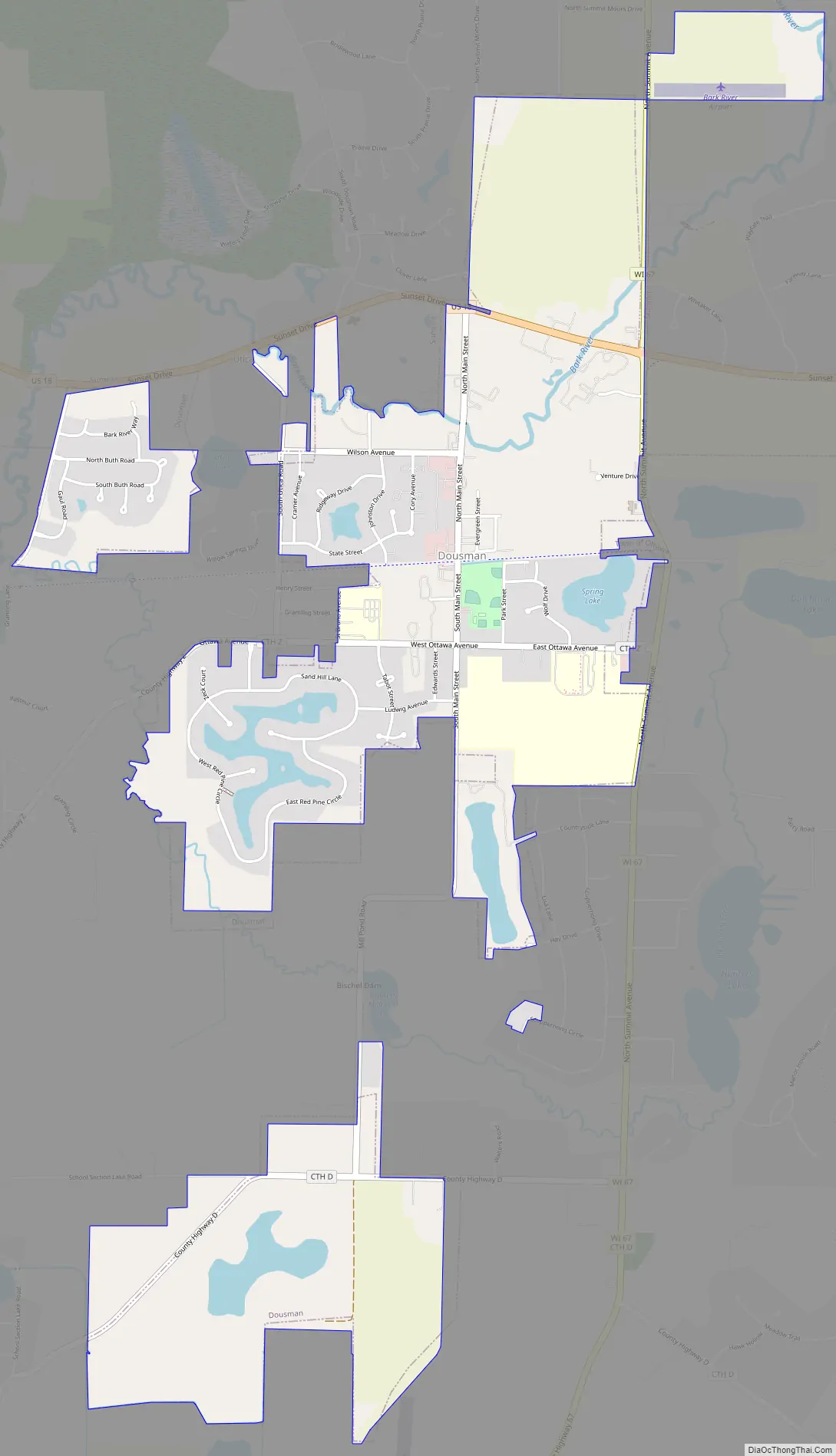
Dousman Road Map
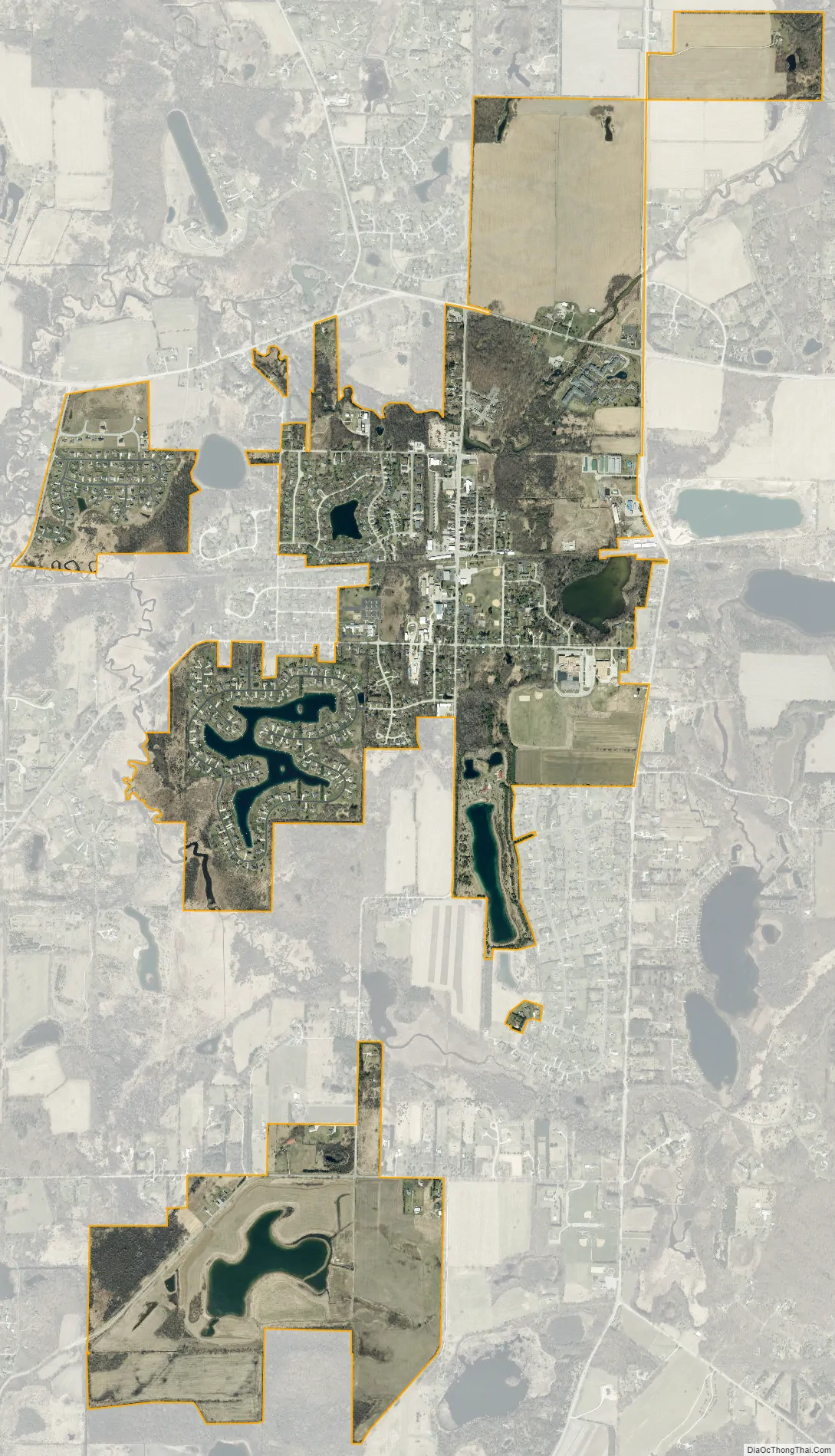
Dousman city Satellite Map
Geography
Dousman is located at 43°0′53″N 88°28′21″W / 43.01472°N 88.47250°W / 43.01472; -88.47250 (43.014801, −88.472564).
According to the United States Census Bureau, the village has a total area of 2.68 square miles (6.94 km), of which, 2.58 square miles (6.68 km) of it is land and 0.10 square miles (0.26 km) is water.
The Glacial Drumlin State Trail, a 47-mile-long (76 km) hiking-biking-snowmobile trail that runs east-west between the towns of Cottage Grove and Waukesha, passes through the middle of Dousman. The trail is on the former roadbed of the Chicago & North Western Railway.
See also
Map of Wisconsin State and its subdivision:- Adams
- Ashland
- Barron
- Bayfield
- Brown
- Buffalo
- Burnett
- Calumet
- Chippewa
- Clark
- Columbia
- Crawford
- Dane
- Dodge
- Door
- Douglas
- Dunn
- Eau Claire
- Florence
- Fond du Lac
- Forest
- Grant
- Green
- Green Lake
- Iowa
- Iron
- Jackson
- Jefferson
- Juneau
- Kenosha
- Kewaunee
- La Crosse
- Lafayette
- Lake Michigan
- Lake Superior
- Langlade
- Lincoln
- Manitowoc
- Marathon
- Marinette
- Marquette
- Menominee
- Milwaukee
- Monroe
- Oconto
- Oneida
- Outagamie
- Ozaukee
- Pepin
- Pierce
- Polk
- Portage
- Price
- Racine
- Richland
- Rock
- Rusk
- Saint Croix
- Sauk
- Sawyer
- Shawano
- Sheboygan
- Taylor
- Trempealeau
- Vernon
- Vilas
- Walworth
- Washburn
- Washington
- Waukesha
- Waupaca
- Waushara
- Winnebago
- Wood
- Alabama
- Alaska
- Arizona
- Arkansas
- California
- Colorado
- Connecticut
- Delaware
- District of Columbia
- Florida
- Georgia
- Hawaii
- Idaho
- Illinois
- Indiana
- Iowa
- Kansas
- Kentucky
- Louisiana
- Maine
- Maryland
- Massachusetts
- Michigan
- Minnesota
- Mississippi
- Missouri
- Montana
- Nebraska
- Nevada
- New Hampshire
- New Jersey
- New Mexico
- New York
- North Carolina
- North Dakota
- Ohio
- Oklahoma
- Oregon
- Pennsylvania
- Rhode Island
- South Carolina
- South Dakota
- Tennessee
- Texas
- Utah
- Vermont
- Virginia
- Washington
- West Virginia
- Wisconsin
- Wyoming