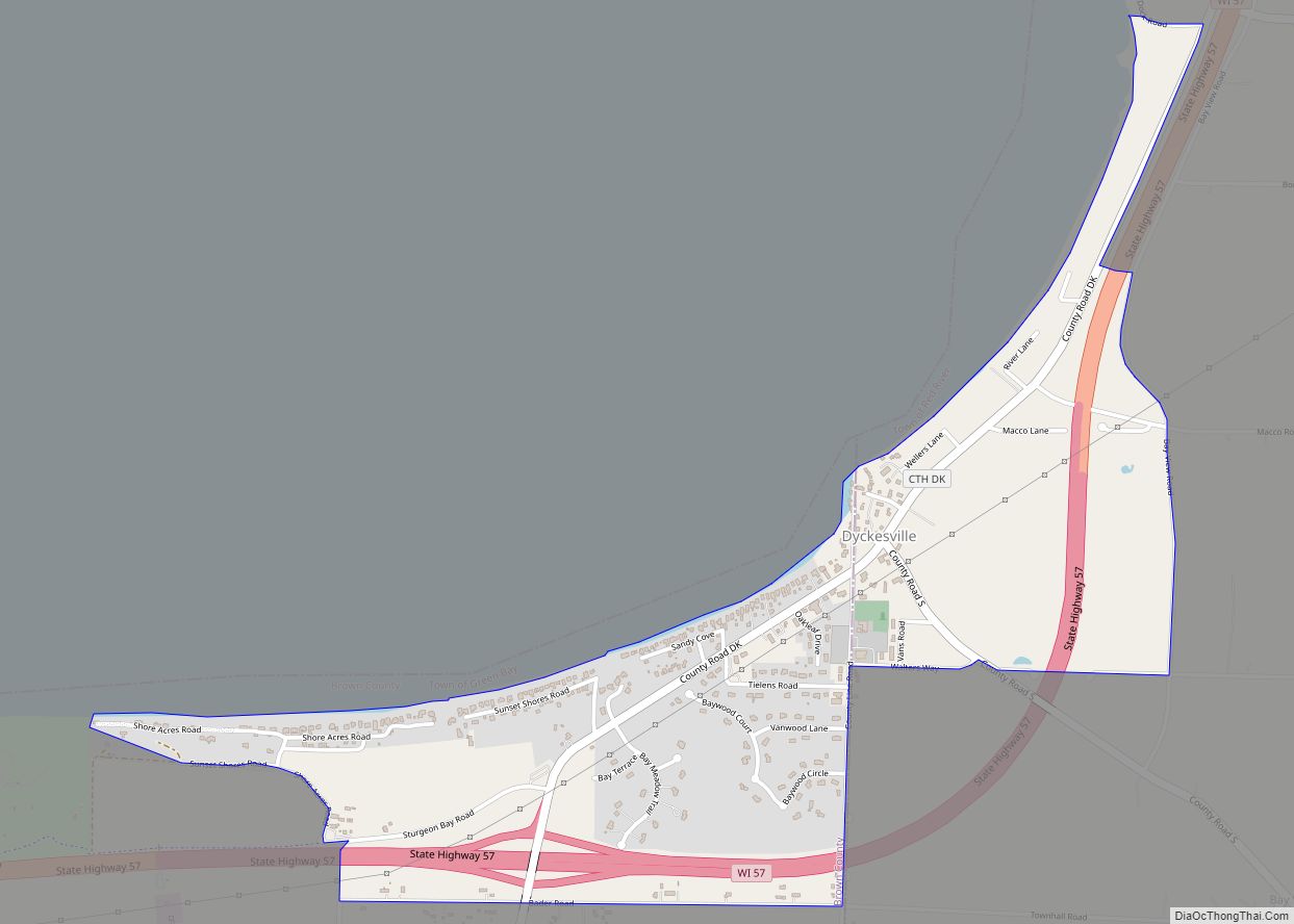
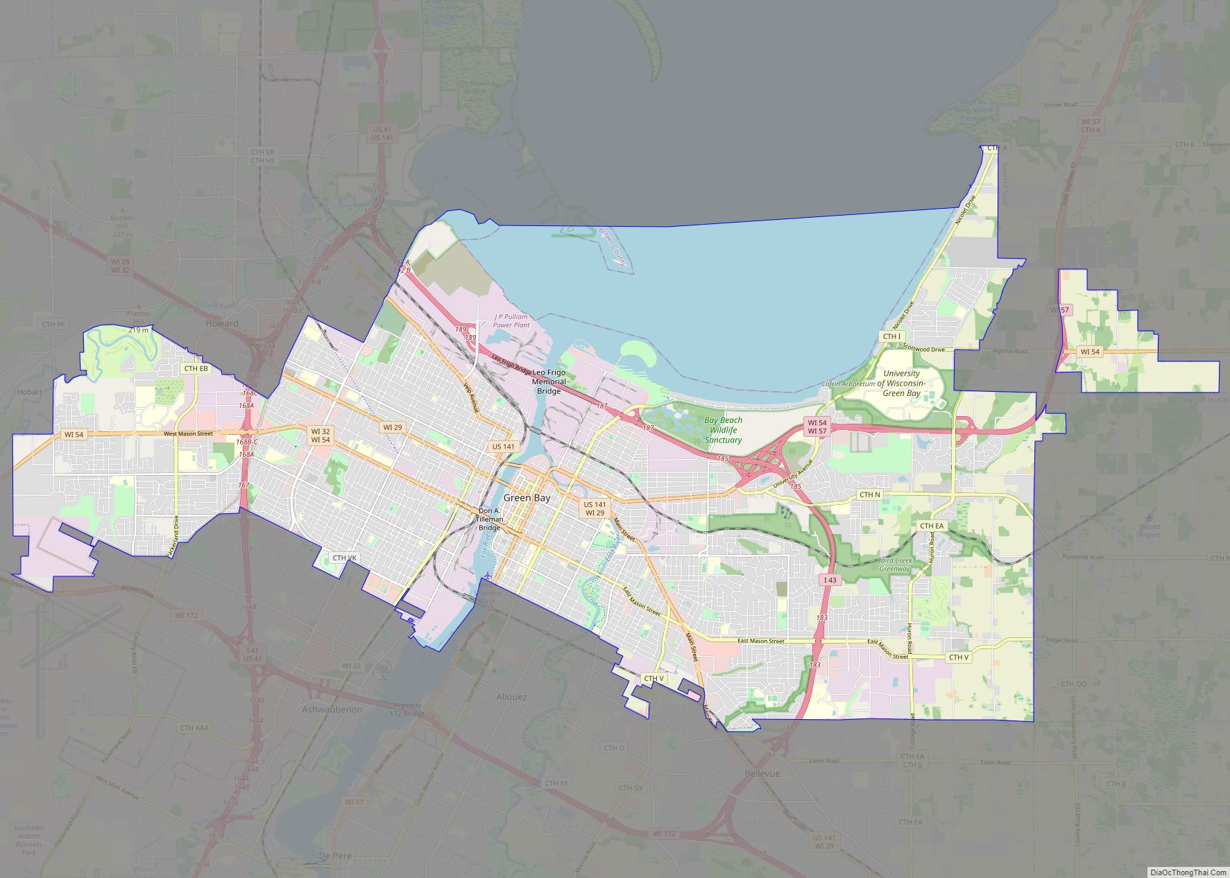
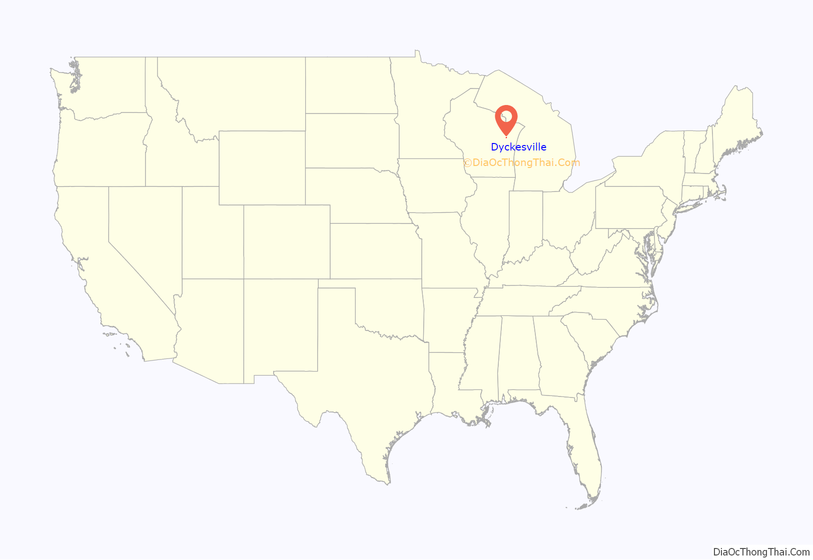
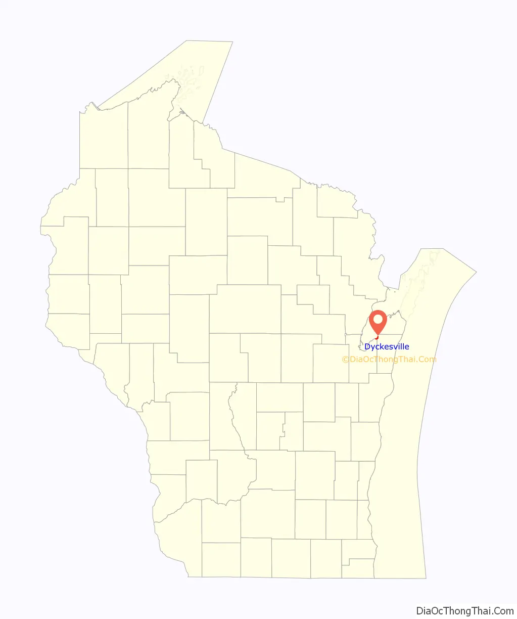
Dyckesville is an unincorporated census-designated place in Brown and Kewaunee counties in the U.S. state of Wisconsin located in the towns of Green Bay and Red River. As of the 2010 census its population was 538. Dyckesville is bypassed by Wisconsin Highway 57, which ran through the community until 2006. Dyckesville is part of the Green Bay Metropolitan Statistical Area.
| Name: | Dyckesville CDP |
|---|---|
| LSAD Code: | 57 |
| LSAD Description: | CDP (suffix) |
| State: | Wisconsin |
| County: | Brown County, Kewaunee County |
| Elevation: | 600 ft (200 m) |
| Total Area: | 1.041 sq mi (2.70 km²) |
| Land Area: | 1.041 sq mi (2.70 km²) |
| Water Area: | 0 sq mi (0 km²) |
| Total Population: | 538 |
| Population Density: | 520/sq mi (200/km²) |
| ZIP code: | 54217 |
| Area code: | 920 |
| FIPS code: | 5521375 |
| GNISfeature ID: | 1564226 |
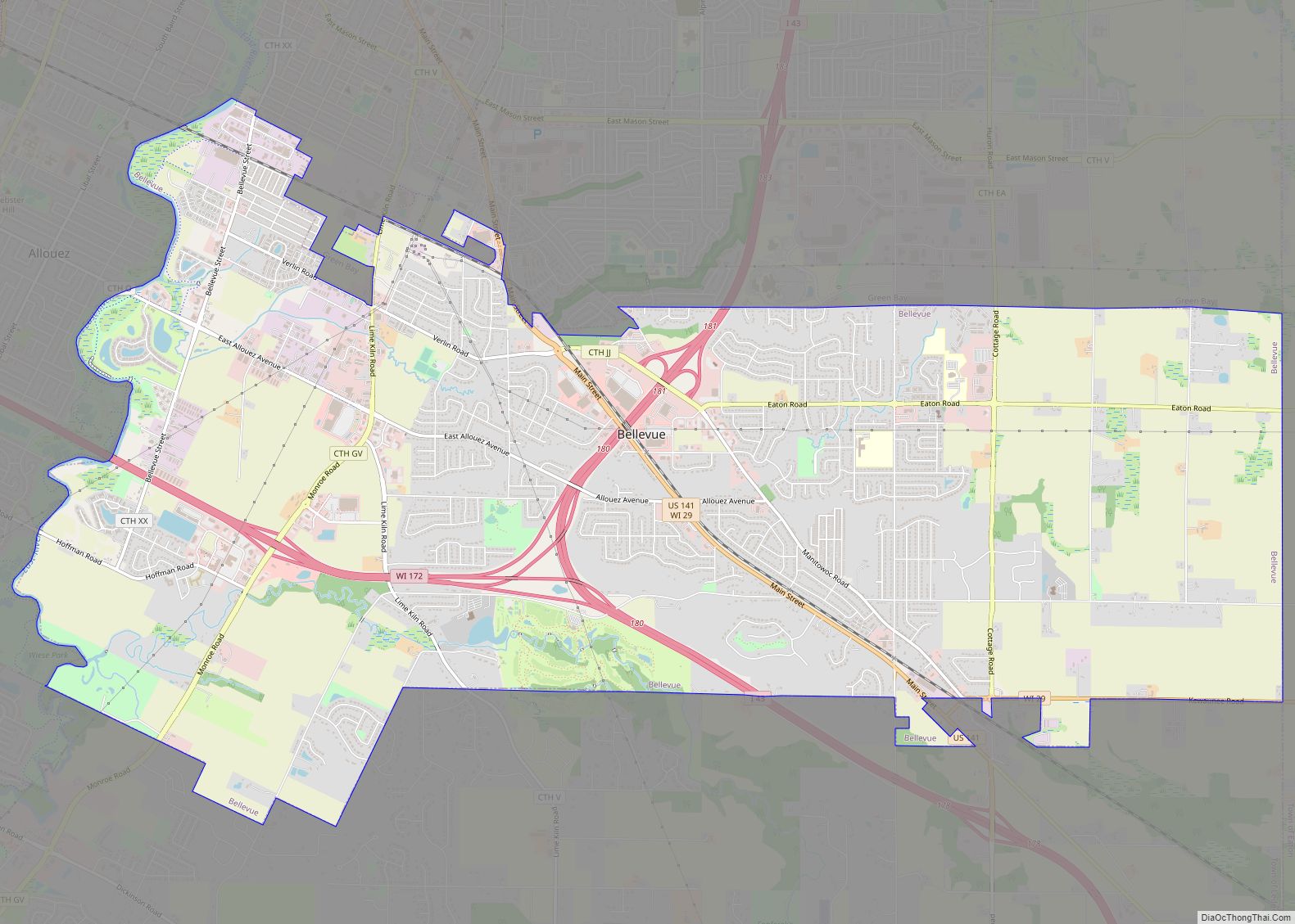
Online Interactive Map
Click on ![]() to view map in "full screen" mode.
to view map in "full screen" mode.
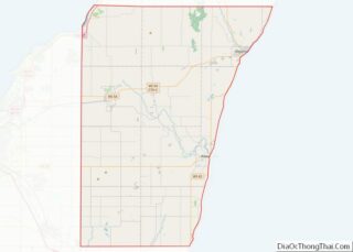
Dyckesville location map. Where is Dyckesville CDP?
History
Dyckesville was founded around 1860 by Louis Van Dycke, and named for him.
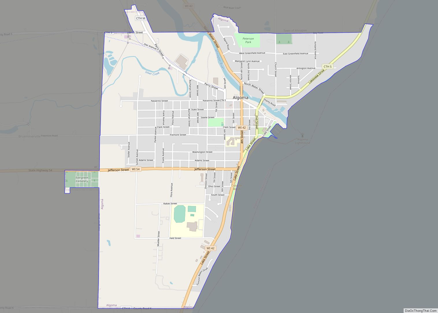
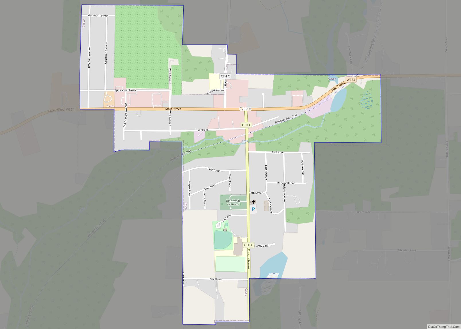
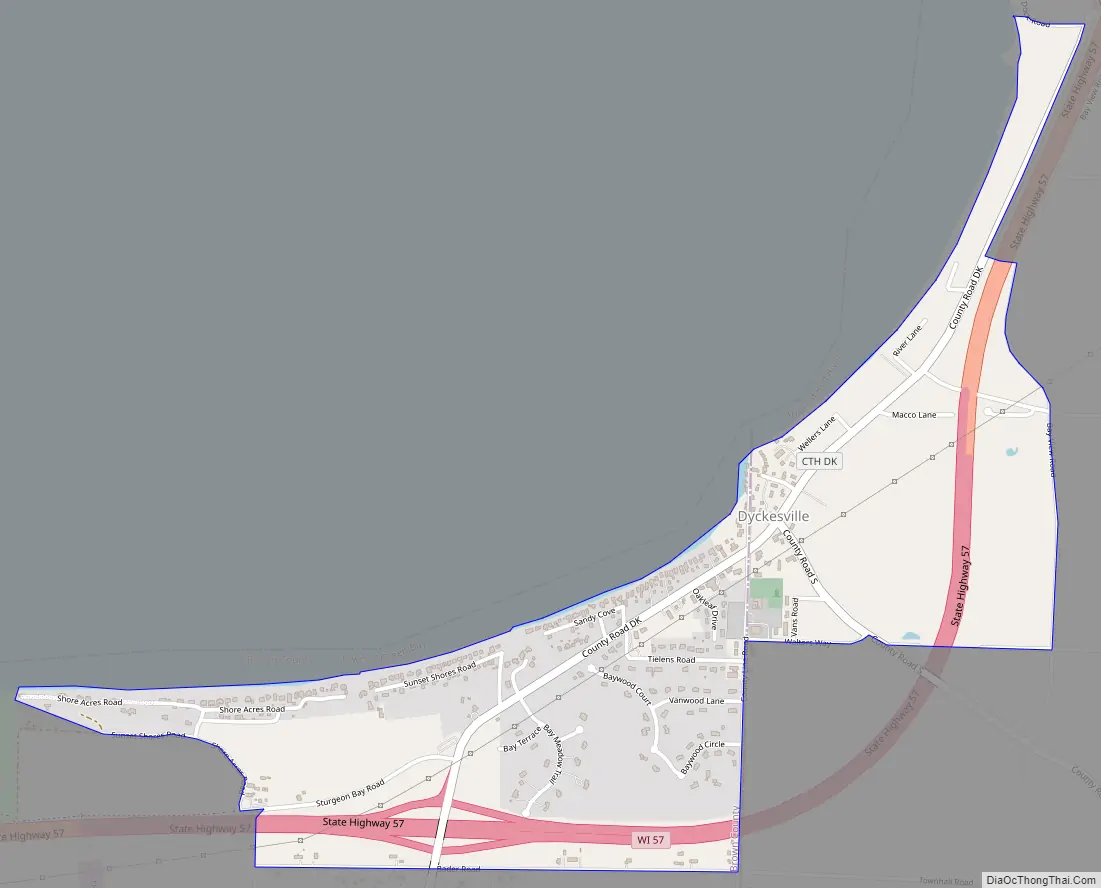
Dyckesville Road Map
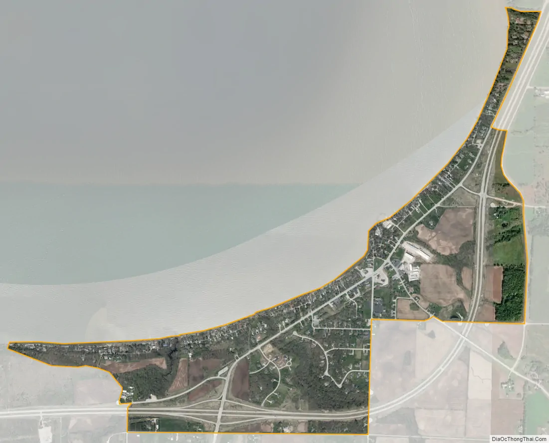
Dyckesville city Satellite Map
See also
Map of Wisconsin State and its subdivision:- Adams
- Ashland
- Barron
- Bayfield
- Brown
- Buffalo
- Burnett
- Calumet
- Chippewa
- Clark
- Columbia
- Crawford
- Dane
- Dodge
- Door
- Douglas
- Dunn
- Eau Claire
- Florence
- Fond du Lac
- Forest
- Grant
- Green
- Green Lake
- Iowa
- Iron
- Jackson
- Jefferson
- Juneau
- Kenosha
- Kewaunee
- La Crosse
- Lafayette
- Lake Michigan
- Lake Superior
- Langlade
- Lincoln
- Manitowoc
- Marathon
- Marinette
- Marquette
- Menominee
- Milwaukee
- Monroe
- Oconto
- Oneida
- Outagamie
- Ozaukee
- Pepin
- Pierce
- Polk
- Portage
- Price
- Racine
- Richland
- Rock
- Rusk
- Saint Croix
- Sauk
- Sawyer
- Shawano
- Sheboygan
- Taylor
- Trempealeau
- Vernon
- Vilas
- Walworth
- Washburn
- Washington
- Waukesha
- Waupaca
- Waushara
- Winnebago
- Wood
- Alabama
- Alaska
- Arizona
- Arkansas
- California
- Colorado
- Connecticut
- Delaware
- District of Columbia
- Florida
- Georgia
- Hawaii
- Idaho
- Illinois
- Indiana
- Iowa
- Kansas
- Kentucky
- Louisiana
- Maine
- Maryland
- Massachusetts
- Michigan
- Minnesota
- Mississippi
- Missouri
- Montana
- Nebraska
- Nevada
- New Hampshire
- New Jersey
- New Mexico
- New York
- North Carolina
- North Dakota
- Ohio
- Oklahoma
- Oregon
- Pennsylvania
- Rhode Island
- South Carolina
- South Dakota
- Tennessee
- Texas
- Utah
- Vermont
- Virginia
- Washington
- West Virginia
- Wisconsin
- Wyoming