Elm Grove is a village in Waukesha County, Wisconsin, United States. The population was 6,524 at the 2020 census. Elm Grove was named as America’s best suburb by Business Insider in October 2014.
| Name: | Elm Grove village |
|---|---|
| LSAD Code: | 47 |
| LSAD Description: | village (suffix) |
| State: | Wisconsin |
| County: | Waukesha County |
| Elevation: | 748 ft (228 m) |
| Total Area: | 3.28 sq mi (8.49 km²) |
| Land Area: | 3.26 sq mi (8.45 km²) |
| Water Area: | 0.02 sq mi (0.05 km²) |
| Total Population: | 6,524 |
| Population Density: | 1,881.63/sq mi (726.47/km²) |
| FIPS code: | 5523575 |
| GNISfeature ID: | 1564560 |
| Website: | elmgrovewi.org |
Online Interactive Map
Click on ![]() to view map in "full screen" mode.
to view map in "full screen" mode.
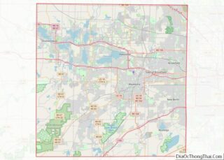
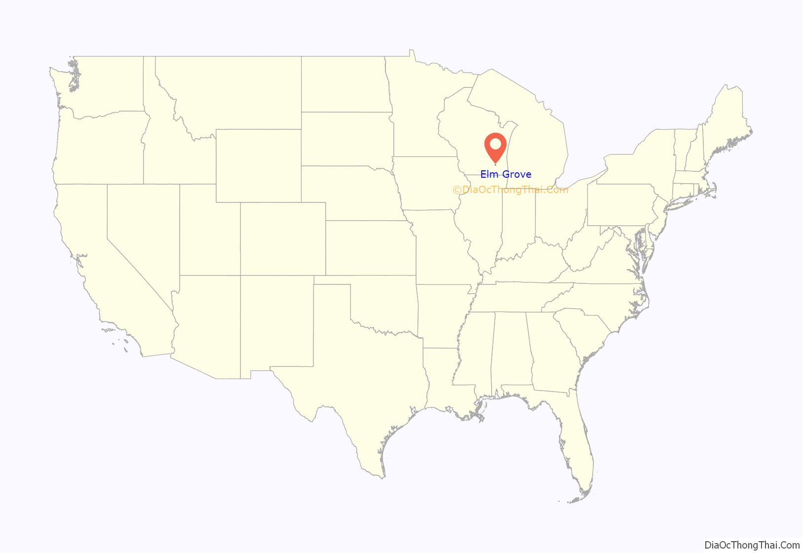
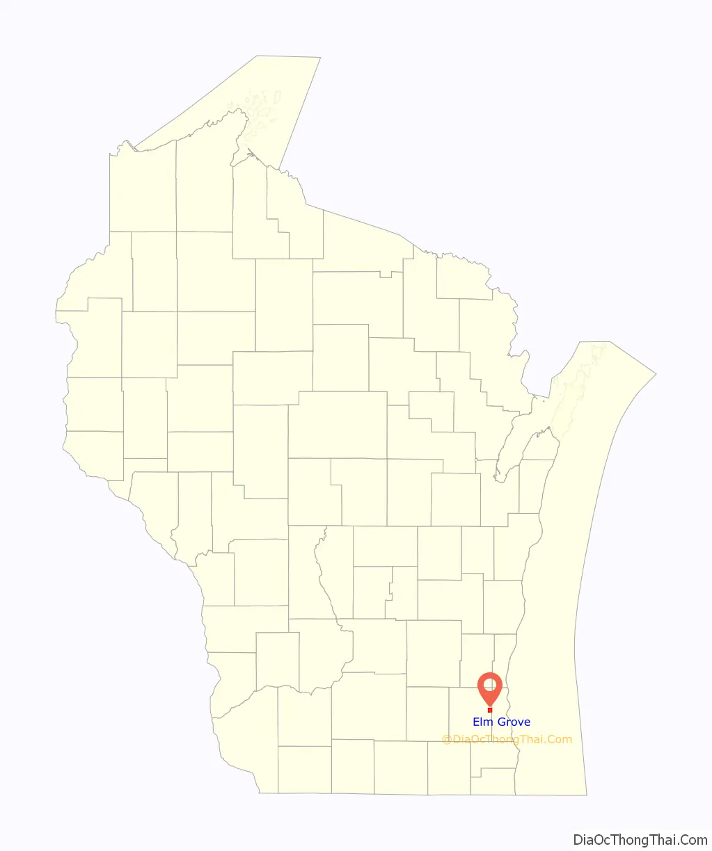
Elm Grove location map. Where is Elm Grove village?
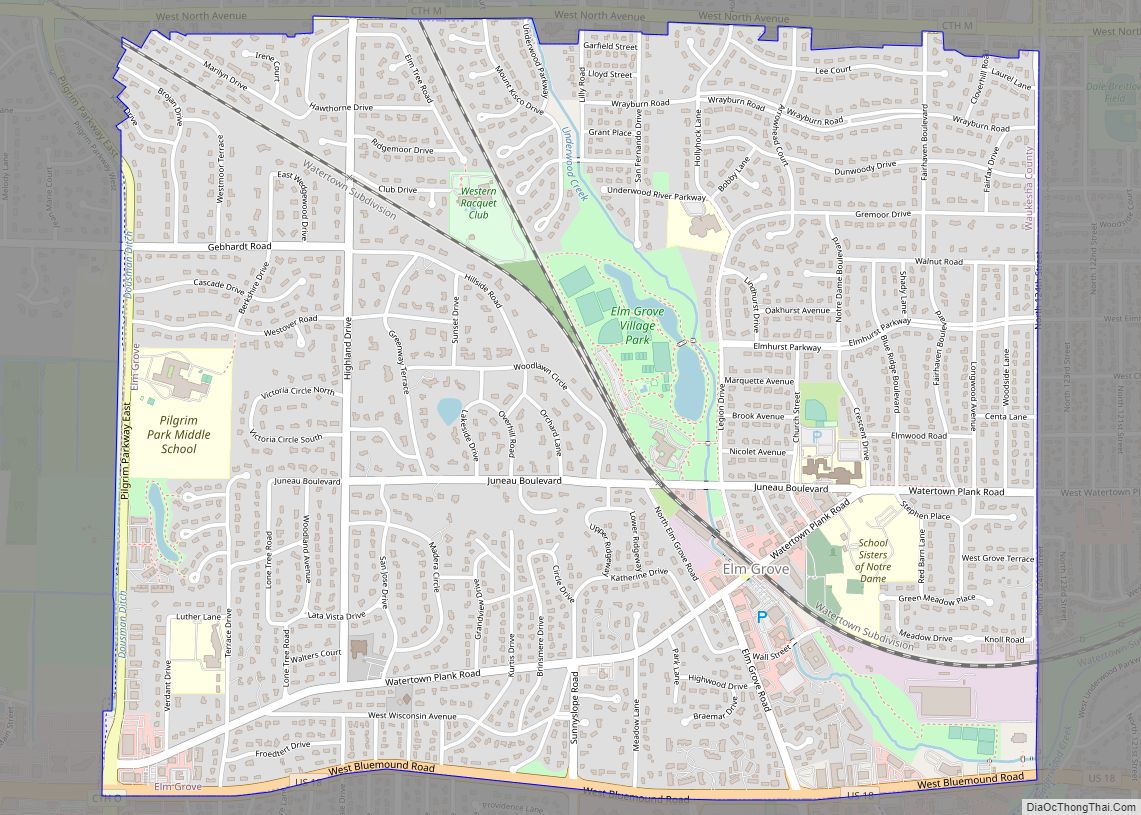
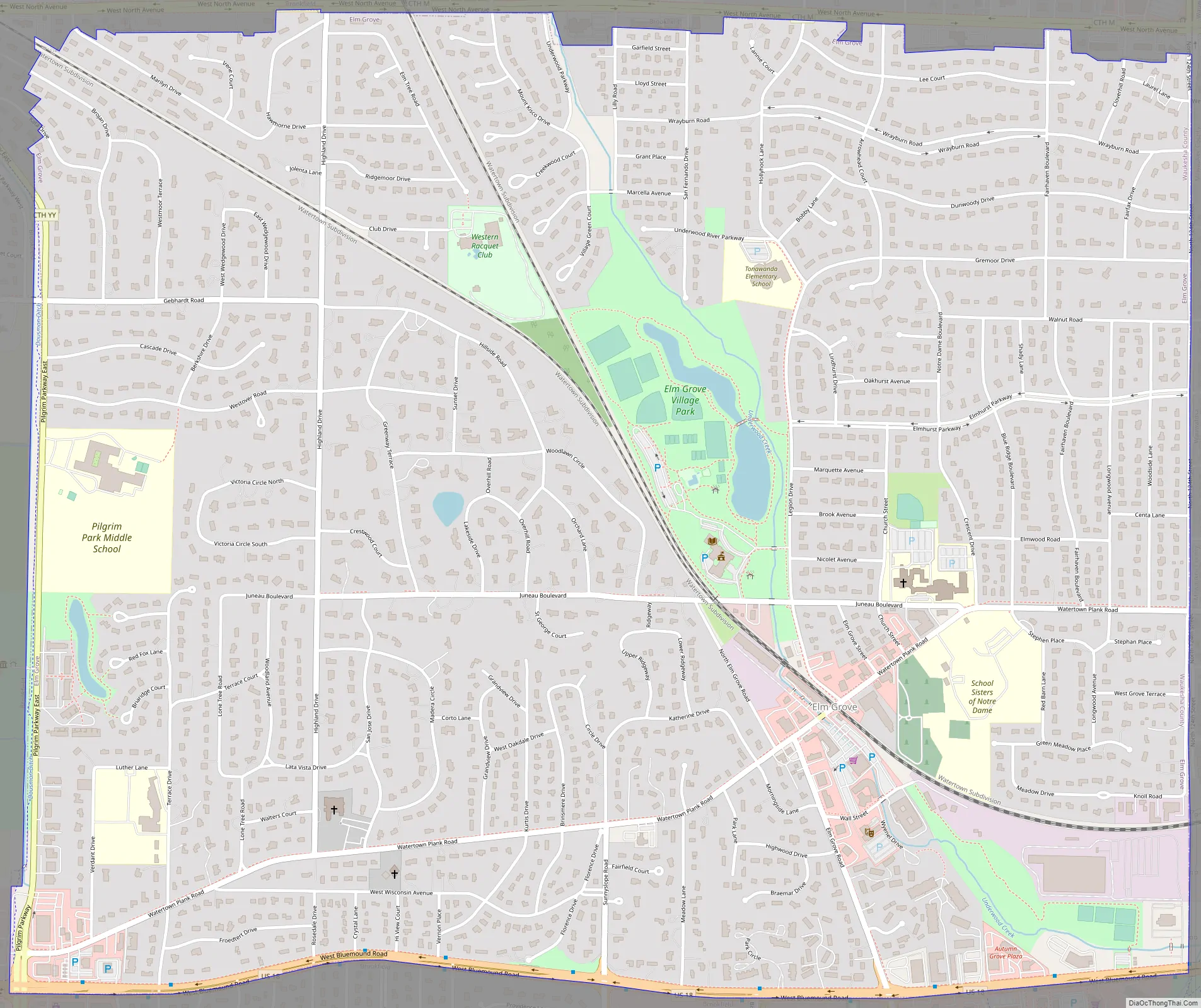
Elm Grove Road Map
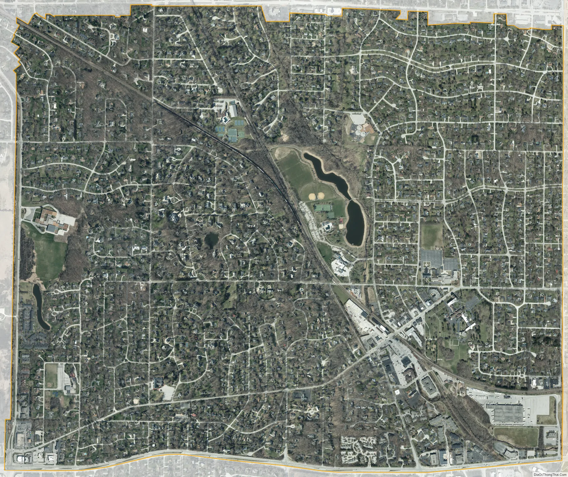
Elm Grove city Satellite Map
Geography
Elm Grove is located at 43°2′52″N 88°5′12″W / 43.04778°N 88.08667°W / 43.04778; -88.08667 (43.047662, -88.086750).
According to the United States Census Bureau, the village has a total area of 3.29 square miles (8.52 km), of which, 3.27 square miles (8.47 km) of it is land and 0.02 square miles (0.05 km) is water.
Elm Grove is surrounded by four major roads, one of which is a U.S. Highway, U.S. Highway 18, or Bluemound Road. The other boundaries are made up of Pilgrim Parkway on the west, North Avenue on the North, and 124th Street on the East. Watertown Plank runs east from Pilgrim Pkwy to 124th Street and acts as the primary retail street.
See also
Map of Wisconsin State and its subdivision:- Adams
- Ashland
- Barron
- Bayfield
- Brown
- Buffalo
- Burnett
- Calumet
- Chippewa
- Clark
- Columbia
- Crawford
- Dane
- Dodge
- Door
- Douglas
- Dunn
- Eau Claire
- Florence
- Fond du Lac
- Forest
- Grant
- Green
- Green Lake
- Iowa
- Iron
- Jackson
- Jefferson
- Juneau
- Kenosha
- Kewaunee
- La Crosse
- Lafayette
- Lake Michigan
- Lake Superior
- Langlade
- Lincoln
- Manitowoc
- Marathon
- Marinette
- Marquette
- Menominee
- Milwaukee
- Monroe
- Oconto
- Oneida
- Outagamie
- Ozaukee
- Pepin
- Pierce
- Polk
- Portage
- Price
- Racine
- Richland
- Rock
- Rusk
- Saint Croix
- Sauk
- Sawyer
- Shawano
- Sheboygan
- Taylor
- Trempealeau
- Vernon
- Vilas
- Walworth
- Washburn
- Washington
- Waukesha
- Waupaca
- Waushara
- Winnebago
- Wood
- Alabama
- Alaska
- Arizona
- Arkansas
- California
- Colorado
- Connecticut
- Delaware
- District of Columbia
- Florida
- Georgia
- Hawaii
- Idaho
- Illinois
- Indiana
- Iowa
- Kansas
- Kentucky
- Louisiana
- Maine
- Maryland
- Massachusetts
- Michigan
- Minnesota
- Mississippi
- Missouri
- Montana
- Nebraska
- Nevada
- New Hampshire
- New Jersey
- New Mexico
- New York
- North Carolina
- North Dakota
- Ohio
- Oklahoma
- Oregon
- Pennsylvania
- Rhode Island
- South Carolina
- South Dakota
- Tennessee
- Texas
- Utah
- Vermont
- Virginia
- Washington
- West Virginia
- Wisconsin
- Wyoming