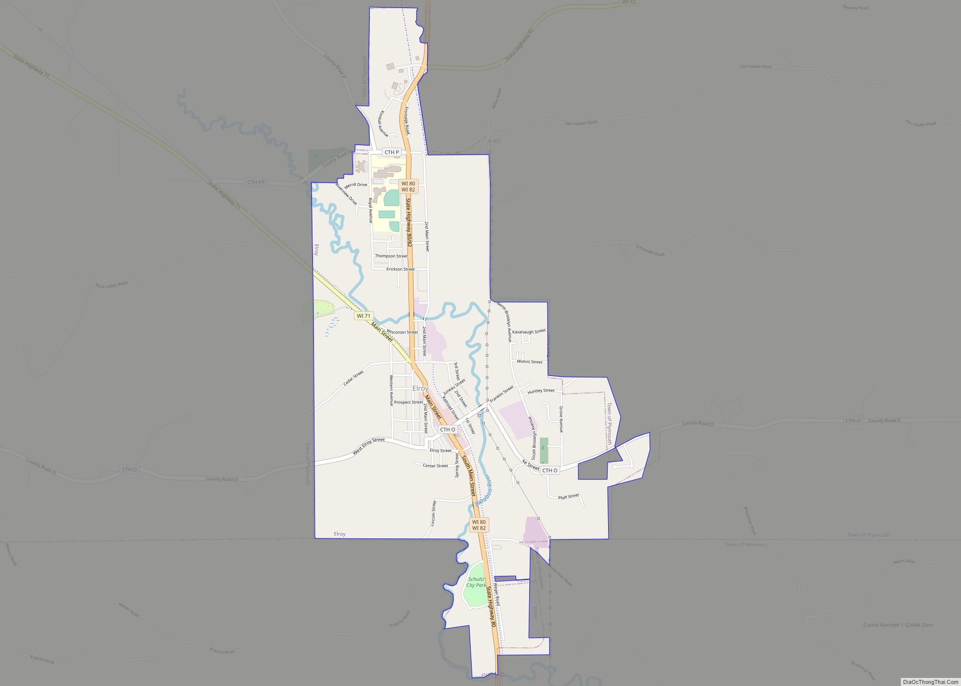
Elroy is a city in Juneau County, Wisconsin, United States, along the Baraboo River and at the east end of the Elroy-Sparta Bike Trail. The population was 1,442 at the 2010 census.
| Name: | Elroy city |
|---|---|
| LSAD Code: | 25 |
| LSAD Description: | city (suffix) |
| State: | Wisconsin |
| County: | Juneau County |
| Elevation: | 978 ft (298 m) |
| Total Area: | 1.97 sq mi (5.09 km²) |
| Land Area: | 1.97 sq mi (5.09 km²) |
| Water Area: | 0.00 sq mi (0.00 km²) |
| Total Population: | 1,442 |
| Population Density: | 662.77/sq mi (255.90/km²) |
| Area code: | 608 |
| FIPS code: | 5523800 |
| GNISfeature ID: | 1564593 |
| Website: | elroywi.com |
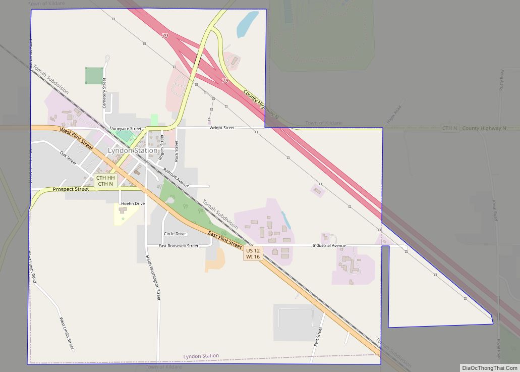
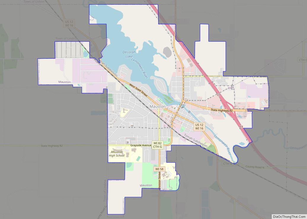
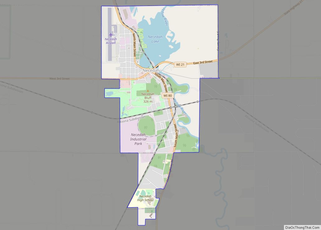
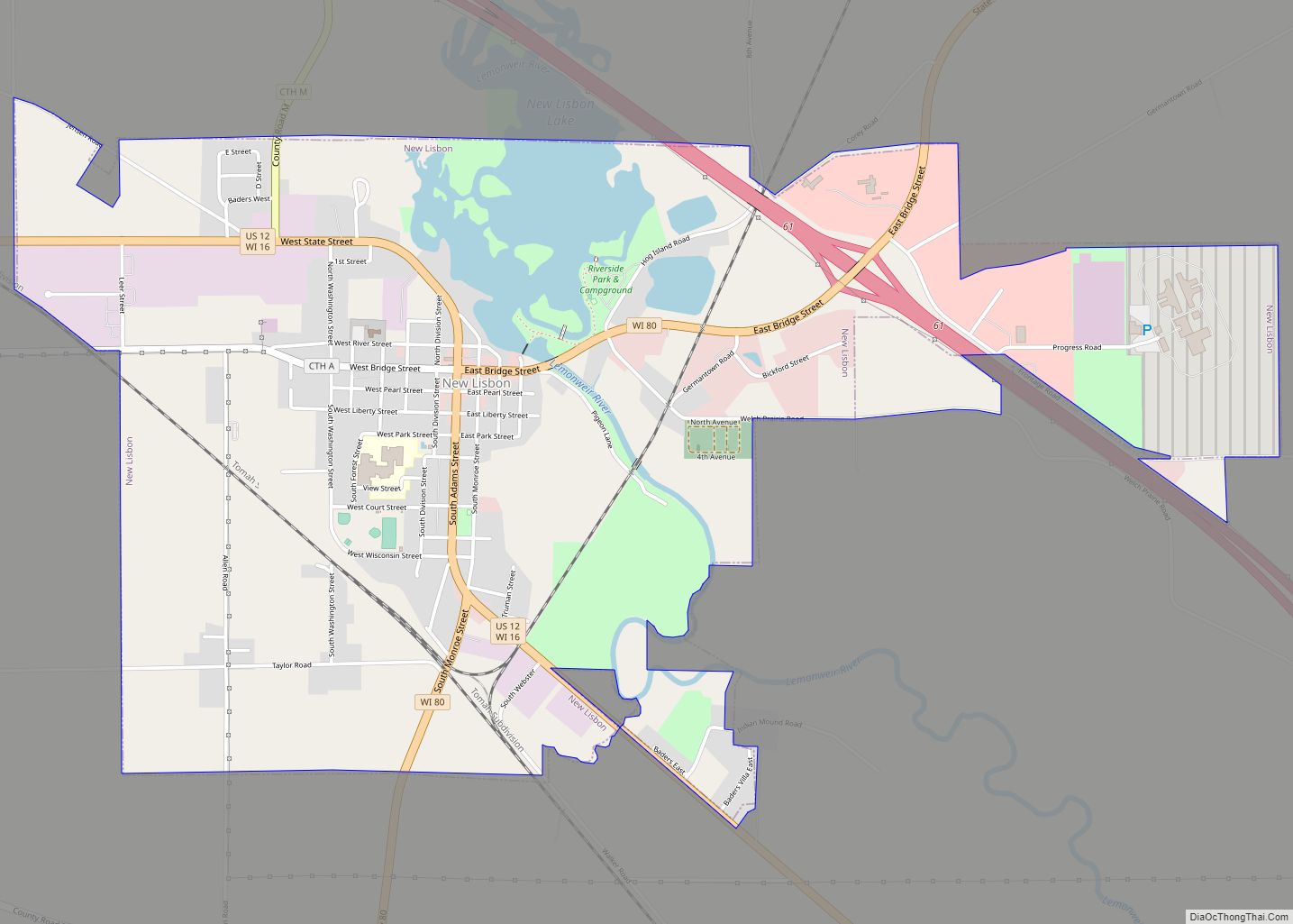
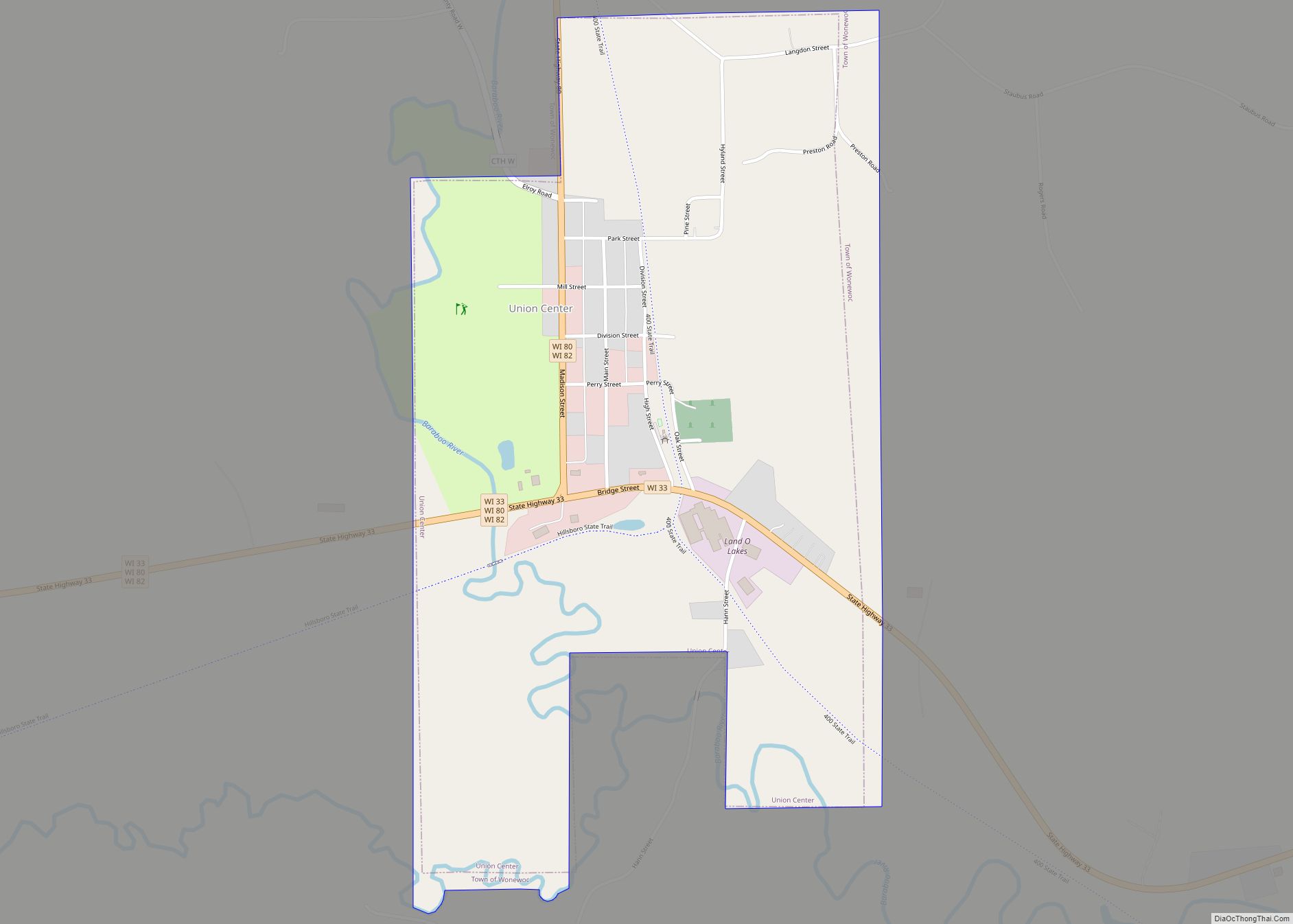
Online Interactive Map
Click on ![]() to view map in "full screen" mode.
to view map in "full screen" mode.
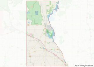
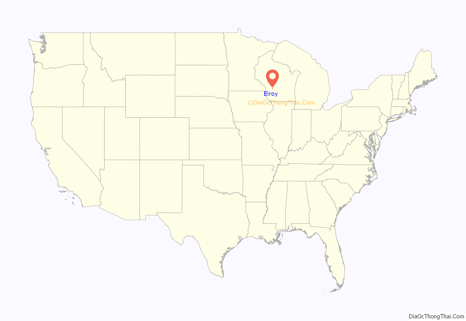
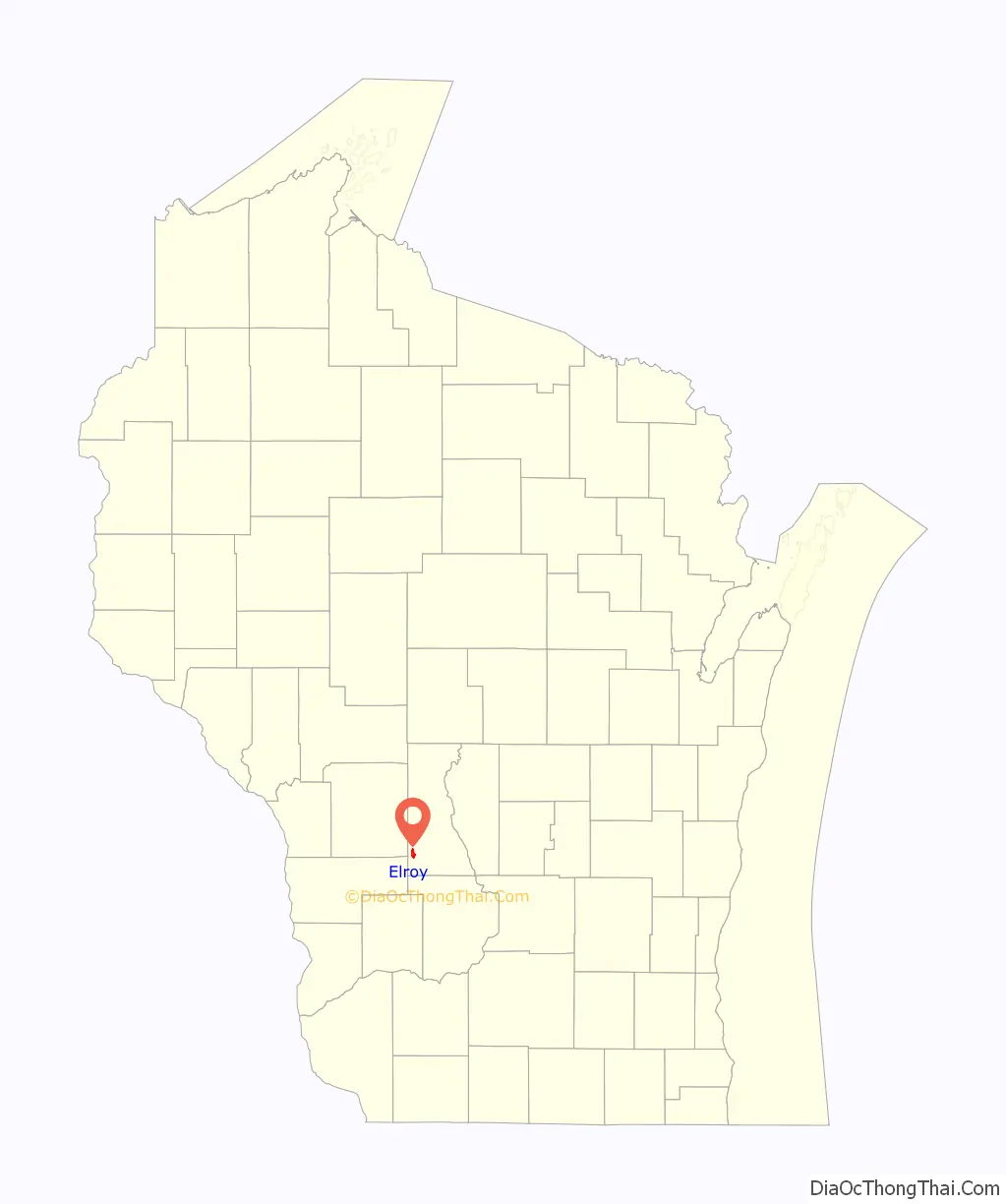
Elroy location map. Where is Elroy city?
History
Elroy was named in 1858, supposedly after a place in Scotland.
By another account, the original residents chose “LeRoy” as the name for the community and its post office, but were informed that another community in the state had that name already. Switching the first two letters was suggested and adopted.
A post office called Elroy has been in operation since 1862.
Elroy was for many years an important railroad hub in the area. The Baraboo Air Line Railroad reached Elroy in the 1870s. The Air Line was later acquired by the Chicago and North Western Railway and the line was pushed on to Sparta, Wisconsin. It eventually became the main line of the CNW between Chicago, Illinois and Winona, Minnesota. The Chicago, St. Paul, Minneapolis and Omaha Railway also became a presence in Elroy when its line was built from St. Paul, Minnesota, south through Camp Douglas, Wisconsin. Both railroad companies kept roundhouses and other operations in Elroy. Rail traffic on the Elroy portion of the CNW eventually declined, due to the construction of better mainline trackage further to the north (via Adams, Necedah, and Wyeville). The rails on this portion were taken up in the mid-1960s and the right-of-way was converted into the Elroy-Sparta Bike Trail, as it remains today. The CNW tracks from Elroy southeast to Reedsburg, Wisconsin, along with those of the north-south Omaha line, were taken up in the 1990s, and these rights-of-way are now known as the “400” State Trail, and the Omaha Trail, respectively.
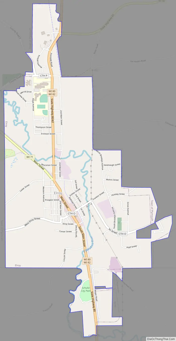
Elroy Road Map
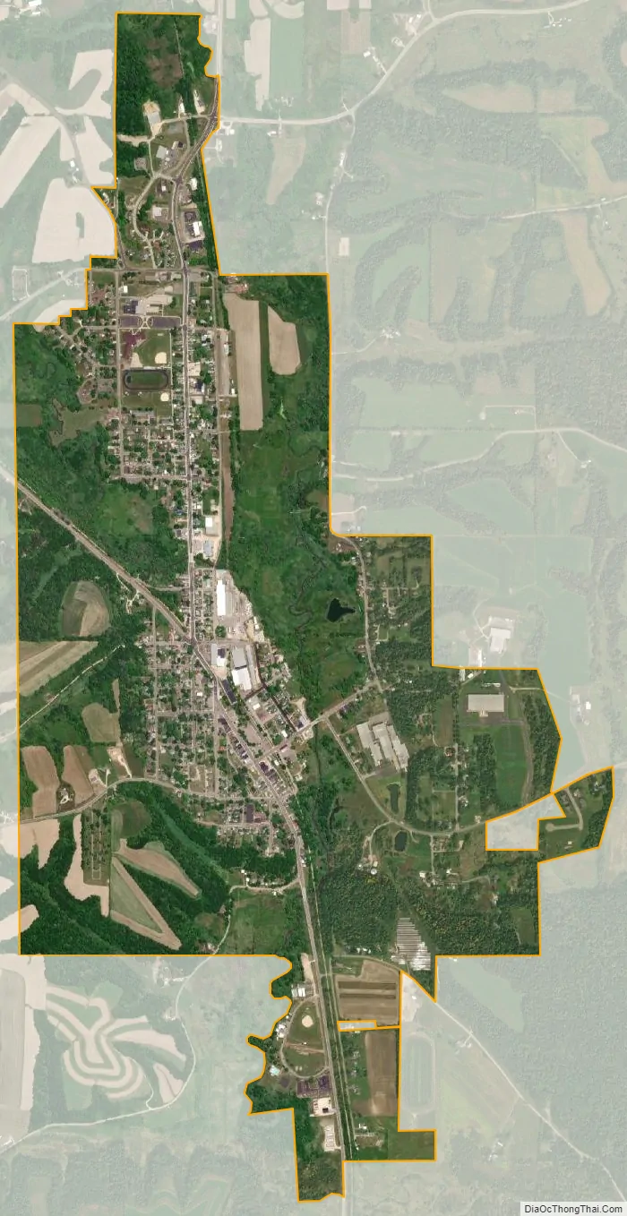
Elroy city Satellite Map
Geography
Elroy is located at 43°44′31″N 90°16′11″W / 43.74194°N 90.26972°W / 43.74194; -90.26972 (43.742016, -90.269597).
According to the United States Census Bureau, the city has a total area of 1.98 square miles (5.13 km), all of it land.
See also
Map of Wisconsin State and its subdivision:- Adams
- Ashland
- Barron
- Bayfield
- Brown
- Buffalo
- Burnett
- Calumet
- Chippewa
- Clark
- Columbia
- Crawford
- Dane
- Dodge
- Door
- Douglas
- Dunn
- Eau Claire
- Florence
- Fond du Lac
- Forest
- Grant
- Green
- Green Lake
- Iowa
- Iron
- Jackson
- Jefferson
- Juneau
- Kenosha
- Kewaunee
- La Crosse
- Lafayette
- Lake Michigan
- Lake Superior
- Langlade
- Lincoln
- Manitowoc
- Marathon
- Marinette
- Marquette
- Menominee
- Milwaukee
- Monroe
- Oconto
- Oneida
- Outagamie
- Ozaukee
- Pepin
- Pierce
- Polk
- Portage
- Price
- Racine
- Richland
- Rock
- Rusk
- Saint Croix
- Sauk
- Sawyer
- Shawano
- Sheboygan
- Taylor
- Trempealeau
- Vernon
- Vilas
- Walworth
- Washburn
- Washington
- Waukesha
- Waupaca
- Waushara
- Winnebago
- Wood
- Alabama
- Alaska
- Arizona
- Arkansas
- California
- Colorado
- Connecticut
- Delaware
- District of Columbia
- Florida
- Georgia
- Hawaii
- Idaho
- Illinois
- Indiana
- Iowa
- Kansas
- Kentucky
- Louisiana
- Maine
- Maryland
- Massachusetts
- Michigan
- Minnesota
- Mississippi
- Missouri
- Montana
- Nebraska
- Nevada
- New Hampshire
- New Jersey
- New Mexico
- New York
- North Carolina
- North Dakota
- Ohio
- Oklahoma
- Oregon
- Pennsylvania
- Rhode Island
- South Carolina
- South Dakota
- Tennessee
- Texas
- Utah
- Vermont
- Virginia
- Washington
- West Virginia
- Wisconsin
- Wyoming