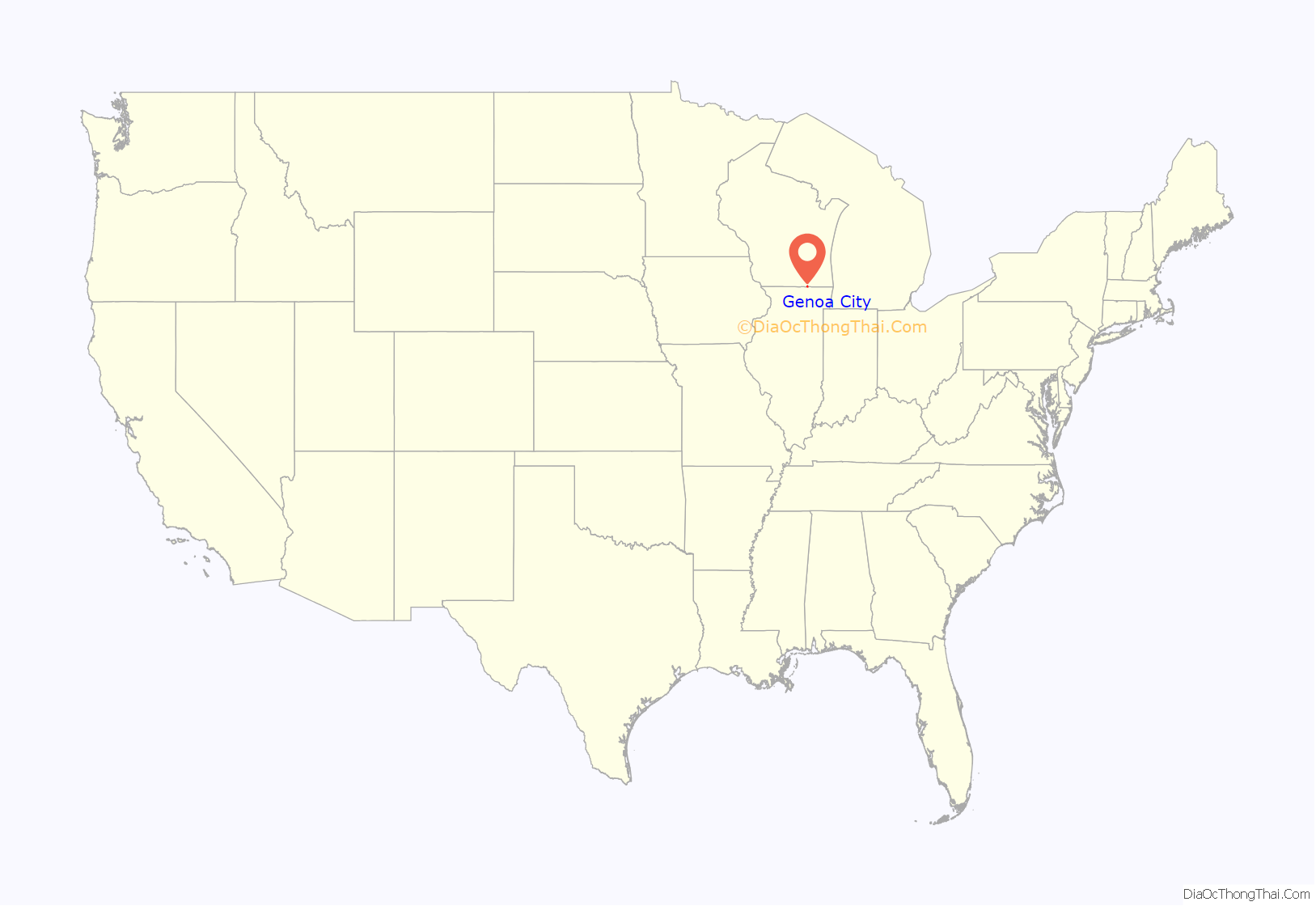
Genoa City is a village located in Kenosha and Walworth counties in the U.S. state of Wisconsin, 43 mi (69 km) south-southwest of Milwaukee, located on the Illinois–Wisconsin border. The population was 2,982 at the 2020 census. It was named after Genoa, New York, which was named after Genoa in Italy.
| Name: | Genoa City village |
|---|---|
| LSAD Code: | 47 |
| LSAD Description: | village (suffix) |
| State: | Wisconsin |
| County: | Kenosha County, Walworth County |
| Elevation: | 830 ft (253 m) |
| Total Area: | 2.65 sq mi (6.86 km²) |
| Land Area: | 2.65 sq mi (6.86 km²) |
| Water Area: | 0.00 sq mi (0.00 km²) |
| Total Population: | 2,982 |
| Population Density: | 1,127.27/sq mi (435.25/km²) |
| ZIP code: | 53128 |
| Area code: | 262 |
| FIPS code: | 5528675 |
| GNISfeature ID: | 1565461 |
| Website: | www.genoacity.info |
Online Interactive Map
Click on ![]() to view map in "full screen" mode.
to view map in "full screen" mode.
Genoa City location map. Where is Genoa City village?
History
Genoa City’s land was purchased from the government in 1841. James Dickerson originally platted the village on May 9 and May 19, 1850, and it was recorded July 12 that year. There were 23 lots and settlers paid $1.25 an acre. The first two railroad lines were built in the 1850s and 1862, respectively. In 1853, a Congregational Church moved from Bloomfield to Genoa City and built a new church. A bell was added in 1872, and a classroom in 1893. By 1880, Genoa City had about 300 residents and a post office, hotel, flour mill, grist mill, lumber yard, drug store, grocery store, hardware store, tailor, shoe maker, two carriage shops, three general stores, and two salon keepers. In 1885, Adolph Freeman platted two additions after fire destroyed many businesses on Freeman Street, which was named after him, the year prior. In the 1890s, new buildings replaced the ones lost in the fire.
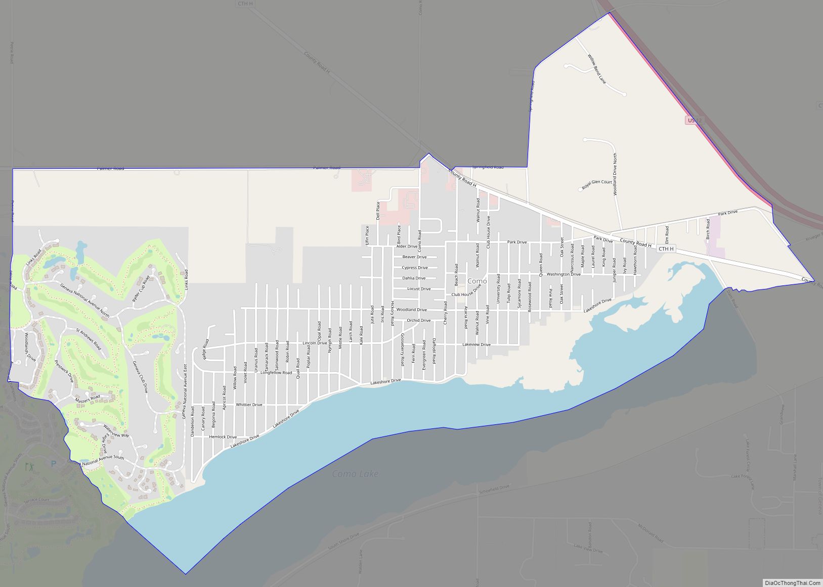
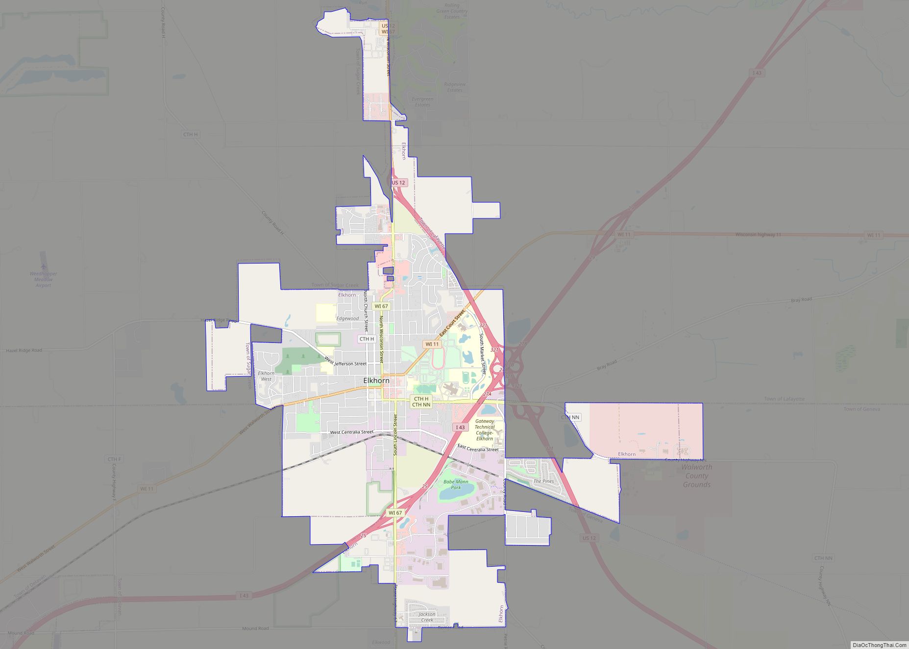
Genoa City Road Map
Genoa City city Satellite Map
Geography
Genoa City is located at 42°30′13″N 88°19′34″W / 42.50361°N 88.32611°W / 42.50361; -88.32611 (42.503612, -88.326063).
According to the United States Census Bureau, the village has a total area of 2.34 square miles (6.06 km), all of it land.
See also
Map of Wisconsin State and its subdivision:- Adams
- Ashland
- Barron
- Bayfield
- Brown
- Buffalo
- Burnett
- Calumet
- Chippewa
- Clark
- Columbia
- Crawford
- Dane
- Dodge
- Door
- Douglas
- Dunn
- Eau Claire
- Florence
- Fond du Lac
- Forest
- Grant
- Green
- Green Lake
- Iowa
- Iron
- Jackson
- Jefferson
- Juneau
- Kenosha
- Kewaunee
- La Crosse
- Lafayette
- Lake Michigan
- Lake Superior
- Langlade
- Lincoln
- Manitowoc
- Marathon
- Marinette
- Marquette
- Menominee
- Milwaukee
- Monroe
- Oconto
- Oneida
- Outagamie
- Ozaukee
- Pepin
- Pierce
- Polk
- Portage
- Price
- Racine
- Richland
- Rock
- Rusk
- Saint Croix
- Sauk
- Sawyer
- Shawano
- Sheboygan
- Taylor
- Trempealeau
- Vernon
- Vilas
- Walworth
- Washburn
- Washington
- Waukesha
- Waupaca
- Waushara
- Winnebago
- Wood
- Alabama
- Alaska
- Arizona
- Arkansas
- California
- Colorado
- Connecticut
- Delaware
- District of Columbia
- Florida
- Georgia
- Hawaii
- Idaho
- Illinois
- Indiana
- Iowa
- Kansas
- Kentucky
- Louisiana
- Maine
- Maryland
- Massachusetts
- Michigan
- Minnesota
- Mississippi
- Missouri
- Montana
- Nebraska
- Nevada
- New Hampshire
- New Jersey
- New Mexico
- New York
- North Carolina
- North Dakota
- Ohio
- Oklahoma
- Oregon
- Pennsylvania
- Rhode Island
- South Carolina
- South Dakota
- Tennessee
- Texas
- Utah
- Vermont
- Virginia
- Washington
- West Virginia
- Wisconsin
- Wyoming
