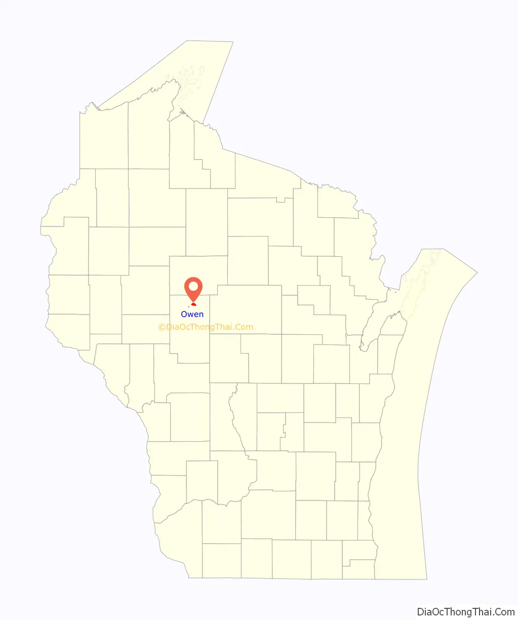
Owen is a city in Clark County in the U.S. state of Wisconsin. The population was 940 at the 2010 census. Owen is located directly east of the village of Withee, which is about half the size of Owen.
| Name: | Owen city |
|---|---|
| LSAD Code: | 25 |
| LSAD Description: | city (suffix) |
| State: | Wisconsin |
| County: | Clark County |
| Elevation: | 1,243 ft (379 m) |
| Total Area: | 2.41 sq mi (6.24 km²) |
| Land Area: | 2.33 sq mi (6.04 km²) |
| Water Area: | 0.08 sq mi (0.20 km²) |
| Total Population: | 940 |
| Population Density: | 397.77/sq mi (153.55/km²) |
| Area code: | 715 & 534 |
| FIPS code: | 5560825 |
| GNISfeature ID: | 1577195 |
| Website: | cityofowen.com |
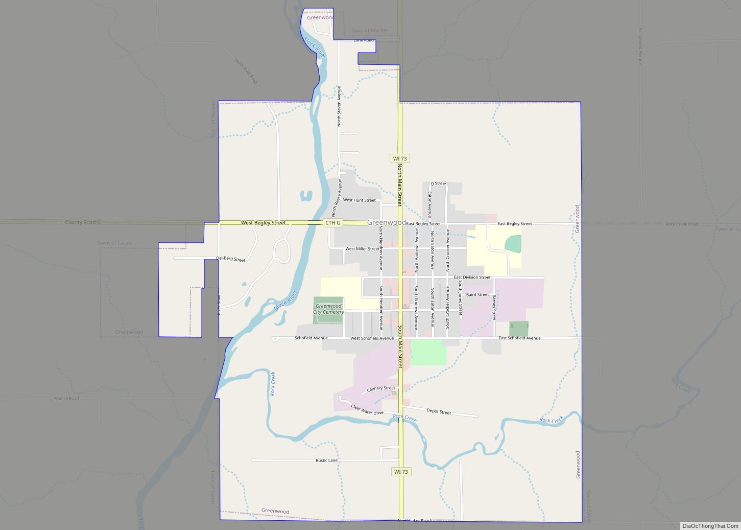
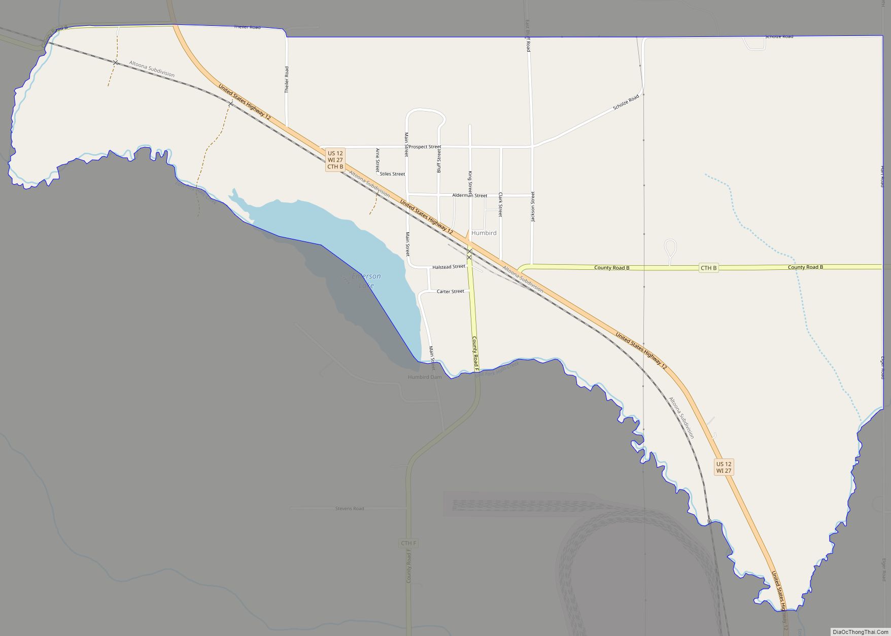
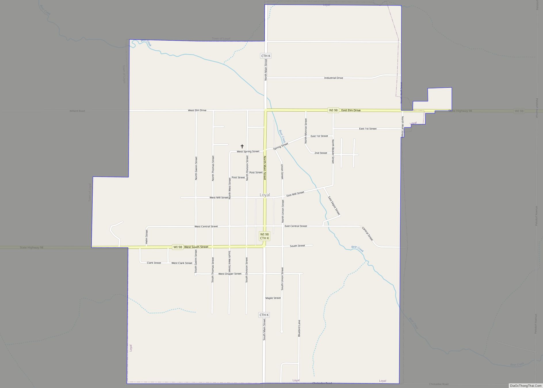
Online Interactive Map
Click on ![]() to view map in "full screen" mode.
to view map in "full screen" mode.
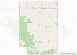
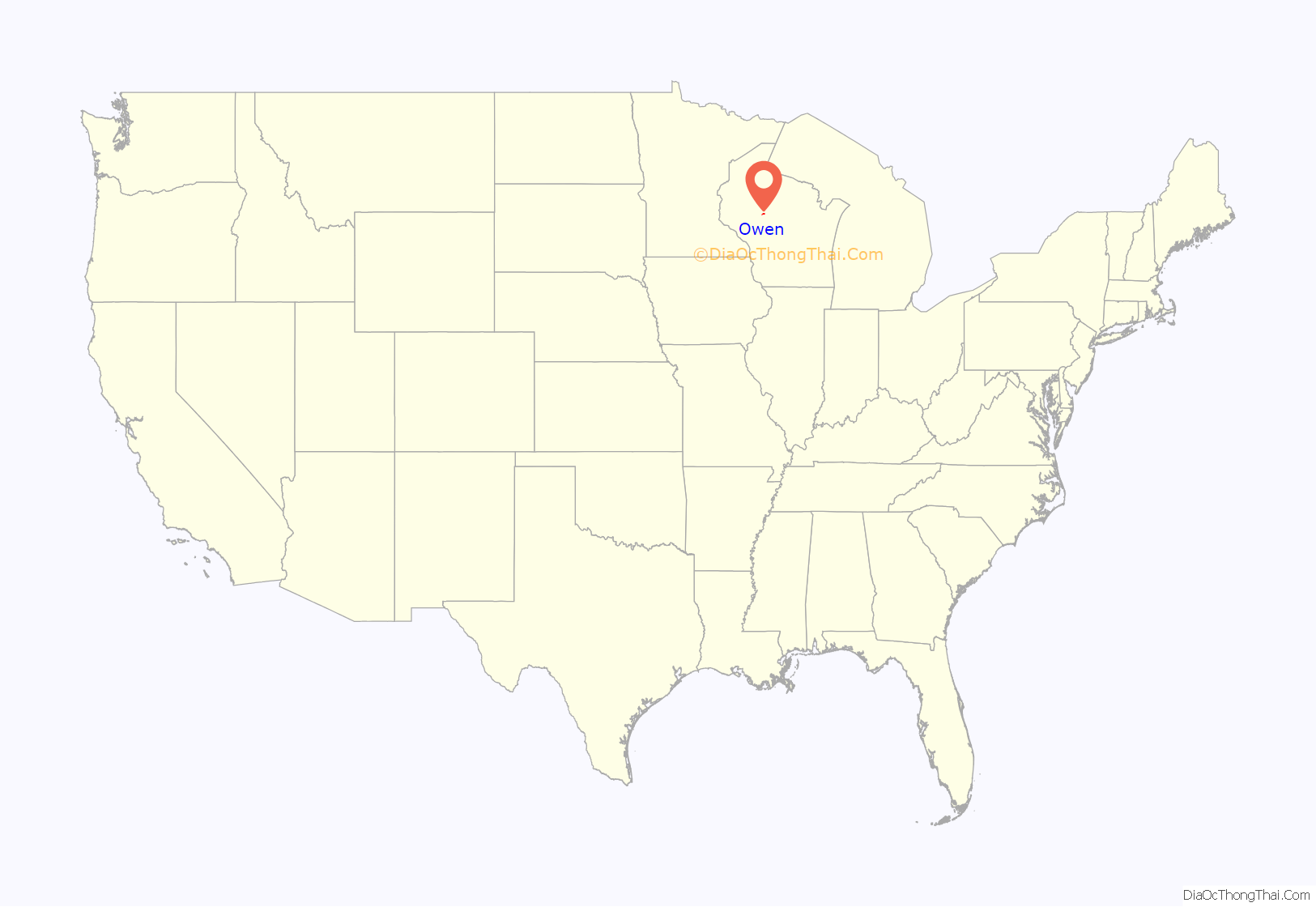
Owen location map. Where is Owen city?
History
In 1880 the Wisconsin Central Railroad built its line through what would become Owen, on its way from Abbotsford to Chippewa Falls.
In 1893 the John S. Owen Company of Eau Claire managed to buy from J.D. Spaulding 400 square miles of virgin timber that ran from the current site of Owen north through Taylor County and into Rusk County. Near where the railroad crossed Brick Creek and that creek flowed into the Popple River, the company built a warehouse, a boarding house, and five log buildings clustered around the rail line. They dammed Brick Creek to make a mill pond and built a sawmill, a planing mill, and a company store. A one-room school was built in 1894. Early on, John’s son Aloney moved to the settlement to oversee local operations.
In 1904 the Village of Owen incorporated, with 315 people. In 1906 the Owen Company started the Owen Box and Crating factory, the Woodland Hotel, and began providing electrical service within the village of Owen. In 1907 the Owens organized the State Bank of Owen, headed by J.G. Owen.
By 1914, Owen’s population was 1,000. The Owens organized the State Bank of Withee, headed by A.R. Owen. The Owens also had a hand in a bottling works, a theater, a telephone company, and three hotels. They donated land for a city park and churches. In 1915 the company opened a retail lumber store.
By 1918 the Owen Company was running 25 miles of railroad in Clark and Taylor Counties, hauling logs from their timber holdings in to their sawmill. At one point they thought their supply might last for five or six years, but it ended up lasting 40. The last log was sawed in 1932.
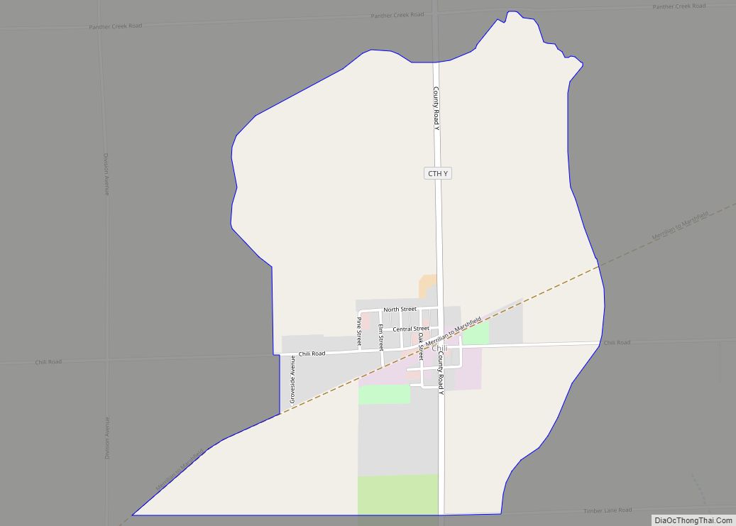
Owen Road Map

Owen city Satellite Map
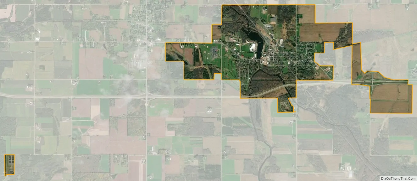
Geography
Owen is located at 44°56′54″N 90°33′53″W / 44.94833°N 90.56472°W / 44.94833; -90.56472 (44.948330, -90.564740).
According to the United States Census Bureau, the city has a total area of 1.84 square miles (4.77 km), of which, 1.77 square miles (4.58 km) is land and 0.07 square miles (0.18 km) is water.
See also
Map of Wisconsin State and its subdivision:- Adams
- Ashland
- Barron
- Bayfield
- Brown
- Buffalo
- Burnett
- Calumet
- Chippewa
- Clark
- Columbia
- Crawford
- Dane
- Dodge
- Door
- Douglas
- Dunn
- Eau Claire
- Florence
- Fond du Lac
- Forest
- Grant
- Green
- Green Lake
- Iowa
- Iron
- Jackson
- Jefferson
- Juneau
- Kenosha
- Kewaunee
- La Crosse
- Lafayette
- Lake Michigan
- Lake Superior
- Langlade
- Lincoln
- Manitowoc
- Marathon
- Marinette
- Marquette
- Menominee
- Milwaukee
- Monroe
- Oconto
- Oneida
- Outagamie
- Ozaukee
- Pepin
- Pierce
- Polk
- Portage
- Price
- Racine
- Richland
- Rock
- Rusk
- Saint Croix
- Sauk
- Sawyer
- Shawano
- Sheboygan
- Taylor
- Trempealeau
- Vernon
- Vilas
- Walworth
- Washburn
- Washington
- Waukesha
- Waupaca
- Waushara
- Winnebago
- Wood
- Alabama
- Alaska
- Arizona
- Arkansas
- California
- Colorado
- Connecticut
- Delaware
- District of Columbia
- Florida
- Georgia
- Hawaii
- Idaho
- Illinois
- Indiana
- Iowa
- Kansas
- Kentucky
- Louisiana
- Maine
- Maryland
- Massachusetts
- Michigan
- Minnesota
- Mississippi
- Missouri
- Montana
- Nebraska
- Nevada
- New Hampshire
- New Jersey
- New Mexico
- New York
- North Carolina
- North Dakota
- Ohio
- Oklahoma
- Oregon
- Pennsylvania
- Rhode Island
- South Carolina
- South Dakota
- Tennessee
- Texas
- Utah
- Vermont
- Virginia
- Washington
- West Virginia
- Wisconsin
- Wyoming