Loyal is a city in Clark County in the U.S. state of Wisconsin. The population was 1,261 at the 2010 census. The city is located within the Town of Loyal, though it is politically independent.
Its name comes from the 1860s, when so many of its patriotic pioneers went to fight in the Civil War. A store was established at the site in 1870, the place platted in 1885, incorporated as a village in 1893, and changed to a city in 1948.
| Name: | Loyal city |
|---|---|
| LSAD Code: | 25 |
| LSAD Description: | city (suffix) |
| State: | Wisconsin |
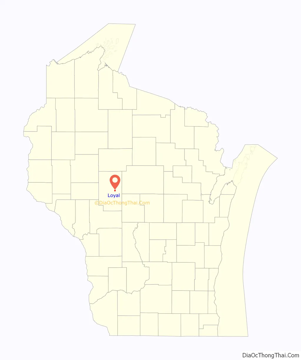
| County: | Clark County |
| Elevation: | 1,240 ft (378 m) |
| Total Area: | 1.37 sq mi (3.54 km²) |
| Land Area: | 1.37 sq mi (3.54 km²) |
| Water Area: | 0.00 sq mi (0.00 km²) |
| Total Population: | 1,261 |
| Population Density: | 901.32/sq mi (347.89/km²) |
| ZIP code: | 54446 |
| Area code: | 715 & 534 |
| FIPS code: | 5546075 |
| GNISfeature ID: | 1568773 |
| Website: | loyalwi.com |
Online Interactive Map
Click on ![]() to view map in "full screen" mode.
to view map in "full screen" mode.
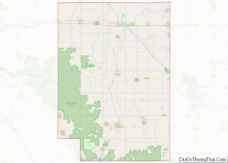
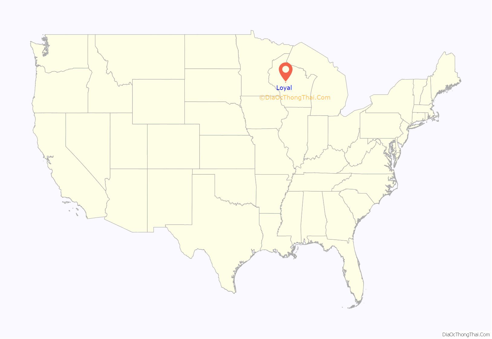
Loyal location map. Where is Loyal city?
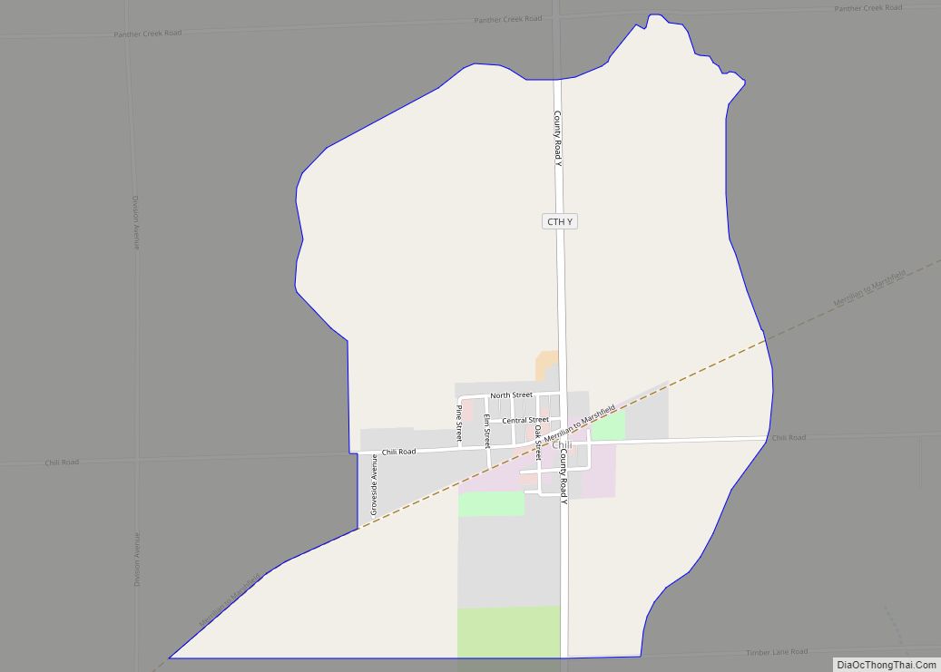
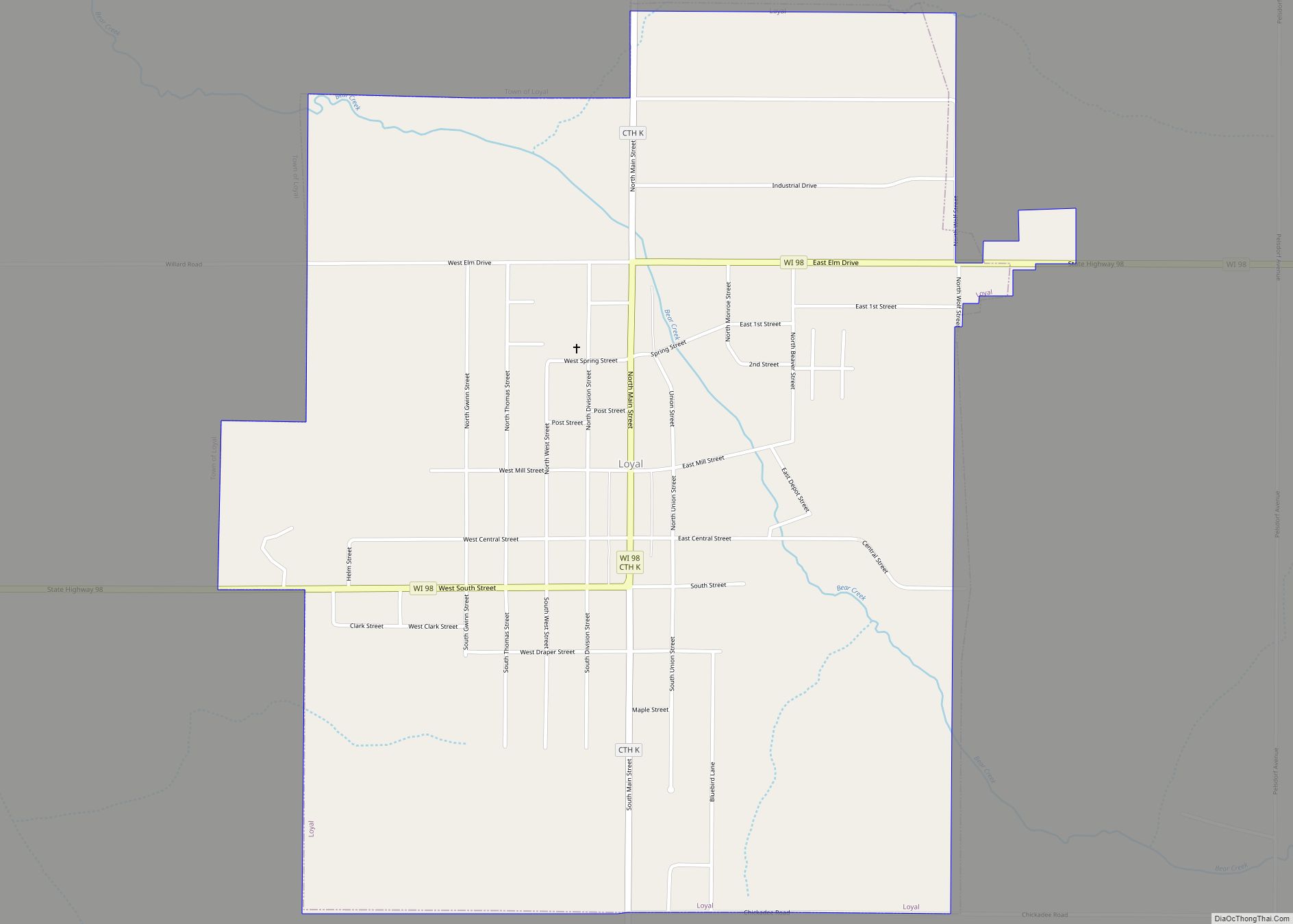
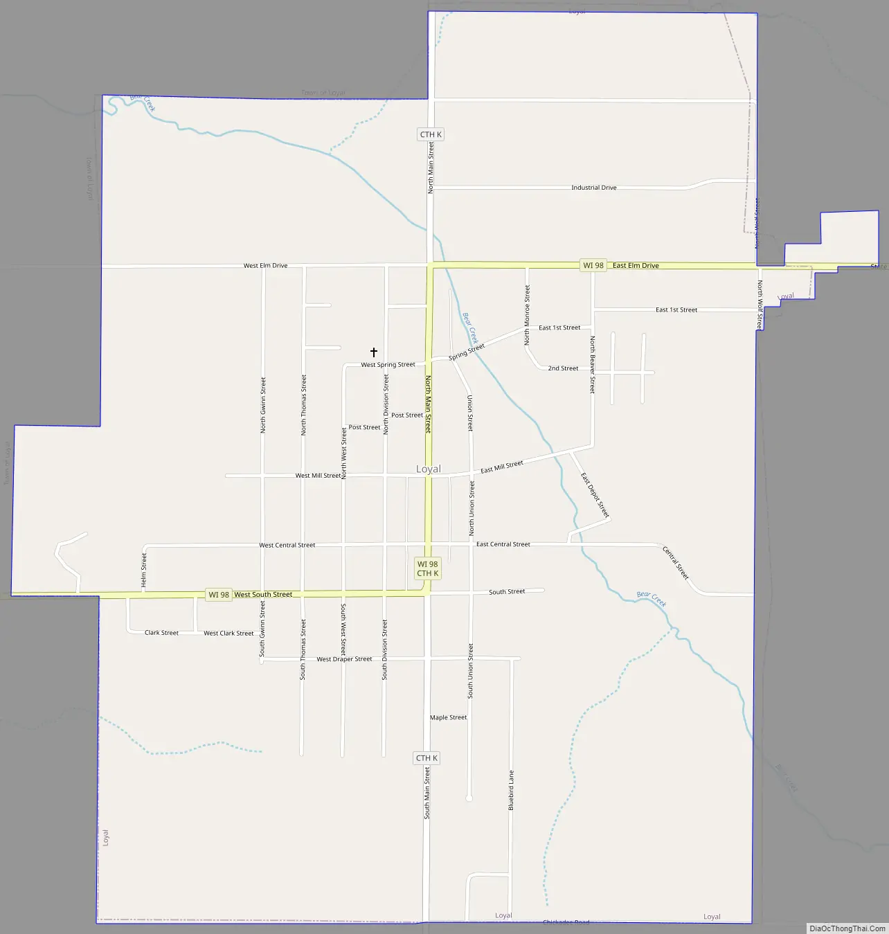
Loyal Road Map
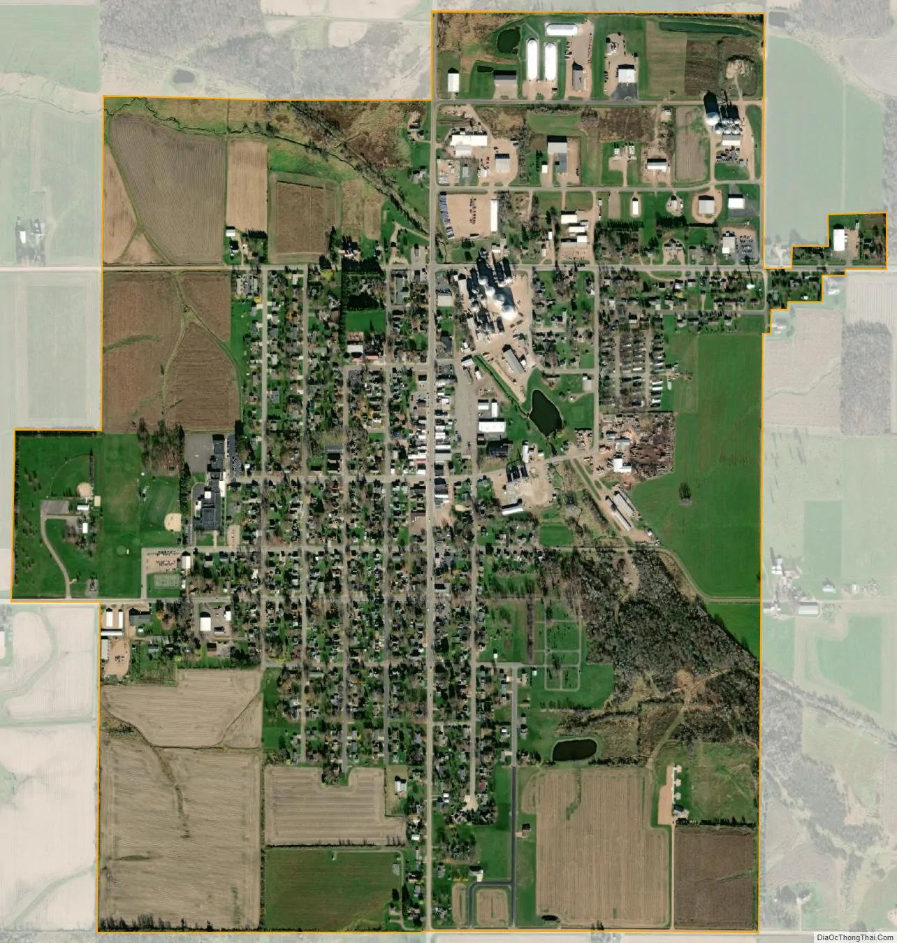
Loyal city Satellite Map
Geography
Loyal is located at 44°44′15″N 90°29′47″W / 44.73750°N 90.49639°W / 44.73750; -90.49639 (44.737541, -90.496551).
According to the United States Census Bureau, the city has a total area of 1.39 square miles (3.60 km), all of it land.
See also
Map of Wisconsin State and its subdivision:- Adams
- Ashland
- Barron
- Bayfield
- Brown
- Buffalo
- Burnett
- Calumet
- Chippewa
- Clark
- Columbia
- Crawford
- Dane
- Dodge
- Door
- Douglas
- Dunn
- Eau Claire
- Florence
- Fond du Lac
- Forest
- Grant
- Green
- Green Lake
- Iowa
- Iron
- Jackson
- Jefferson
- Juneau
- Kenosha
- Kewaunee
- La Crosse
- Lafayette
- Lake Michigan
- Lake Superior
- Langlade
- Lincoln
- Manitowoc
- Marathon
- Marinette
- Marquette
- Menominee
- Milwaukee
- Monroe
- Oconto
- Oneida
- Outagamie
- Ozaukee
- Pepin
- Pierce
- Polk
- Portage
- Price
- Racine
- Richland
- Rock
- Rusk
- Saint Croix
- Sauk
- Sawyer
- Shawano
- Sheboygan
- Taylor
- Trempealeau
- Vernon
- Vilas
- Walworth
- Washburn
- Washington
- Waukesha
- Waupaca
- Waushara
- Winnebago
- Wood
- Alabama
- Alaska
- Arizona
- Arkansas
- California
- Colorado
- Connecticut
- Delaware
- District of Columbia
- Florida
- Georgia
- Hawaii
- Idaho
- Illinois
- Indiana
- Iowa
- Kansas
- Kentucky
- Louisiana
- Maine
- Maryland
- Massachusetts
- Michigan
- Minnesota
- Mississippi
- Missouri
- Montana
- Nebraska
- Nevada
- New Hampshire
- New Jersey
- New Mexico
- New York
- North Carolina
- North Dakota
- Ohio
- Oklahoma
- Oregon
- Pennsylvania
- Rhode Island
- South Carolina
- South Dakota
- Tennessee
- Texas
- Utah
- Vermont
- Virginia
- Washington
- West Virginia
- Wisconsin
- Wyoming