Neillsville is a city in Clark County in the U.S. state of Wisconsin. The population was 2,384 at the 2020 census. It is the county seat.
| Name: | Neillsville city |
|---|---|
| LSAD Code: | 25 |
| LSAD Description: | city (suffix) |
| State: | Wisconsin |
| County: | Clark County |
| Elevation: | 1,037 ft (316 m) |
| Total Area: | 2.85 sq mi (7.37 km²) |
| Land Area: | 2.75 sq mi (7.11 km²) |
| Water Area: | 0.10 sq mi (0.26 km²) |
| Total Population: | 2,384 |
| Population Density: | 877.60/sq mi (338.89/km²) |
| ZIP code: | 54456 |
| Area code: | 715 & 534 |
| FIPS code: | 5555800 |
| GNISfeature ID: | 1570146 |
| Website: | www.neillsville-wi.com |
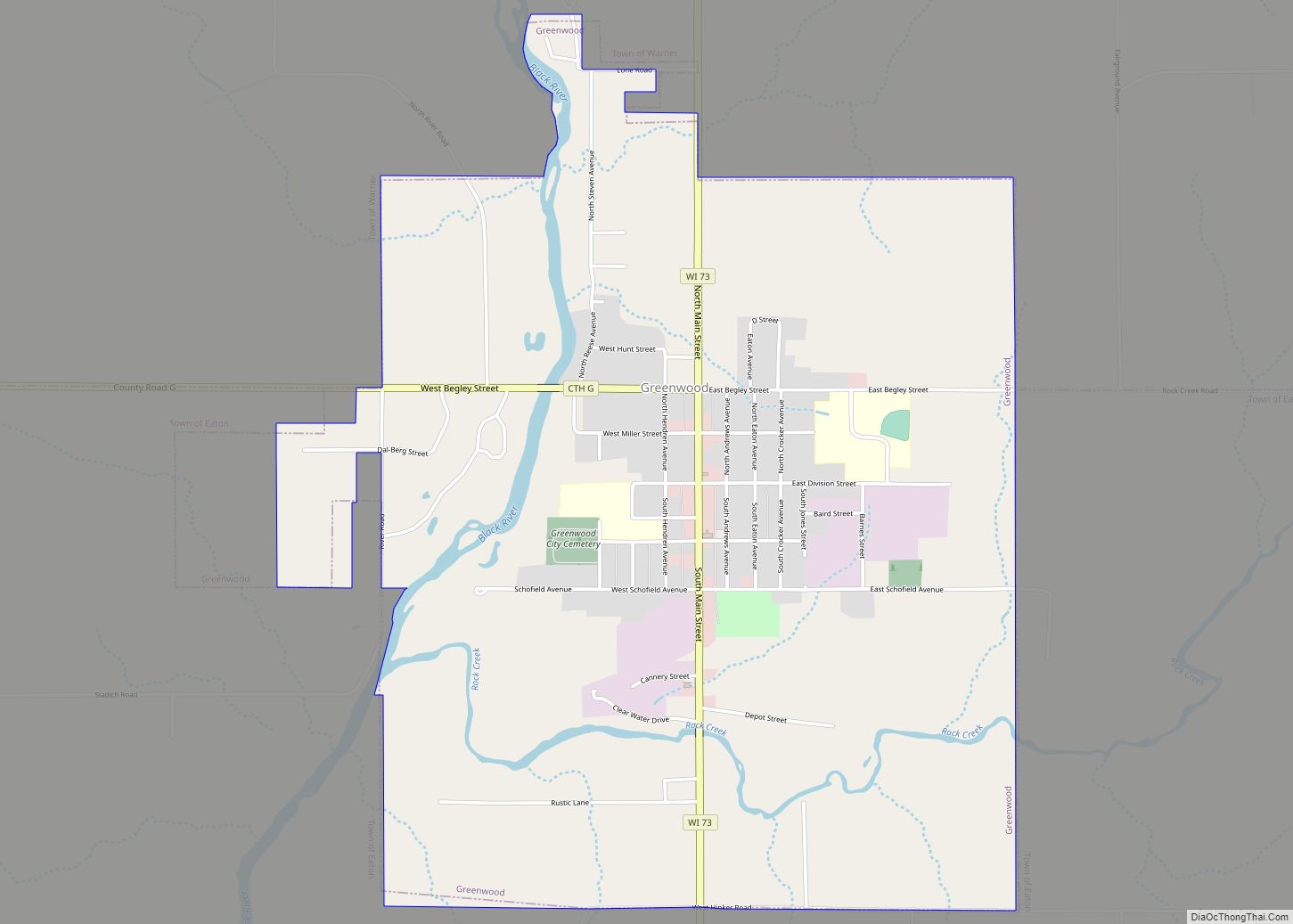
Online Interactive Map
Click on ![]() to view map in "full screen" mode.
to view map in "full screen" mode.
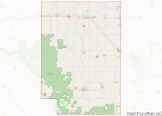
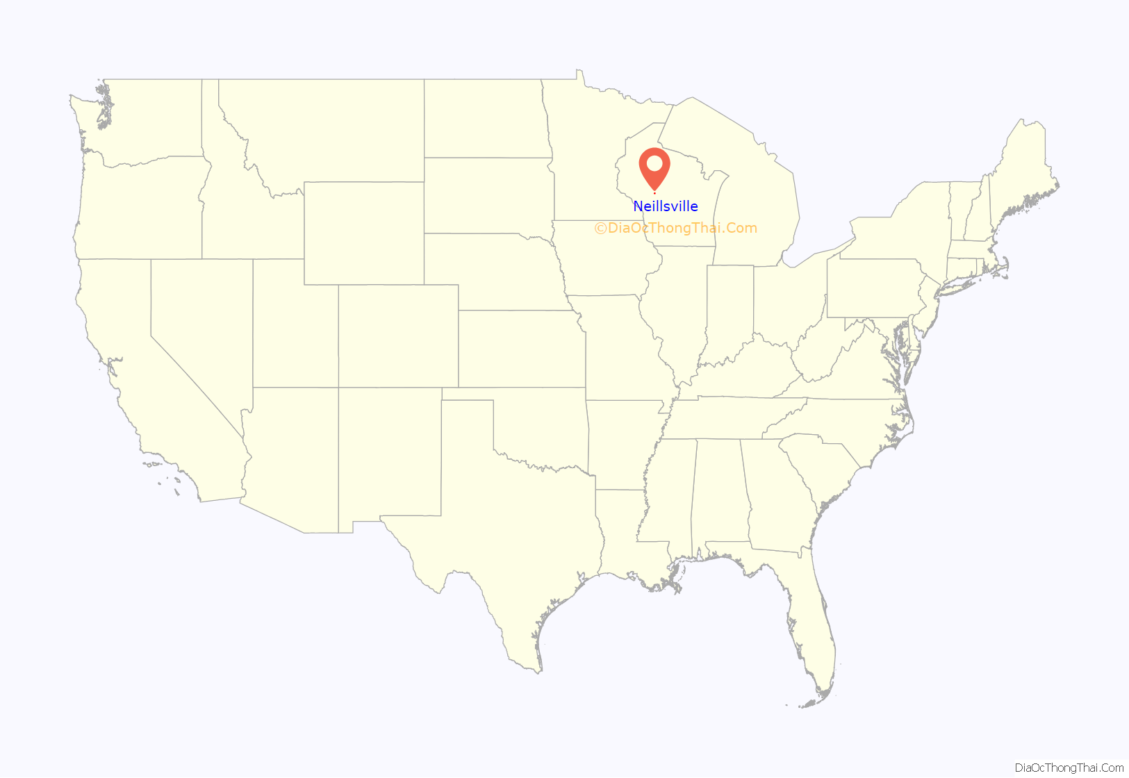
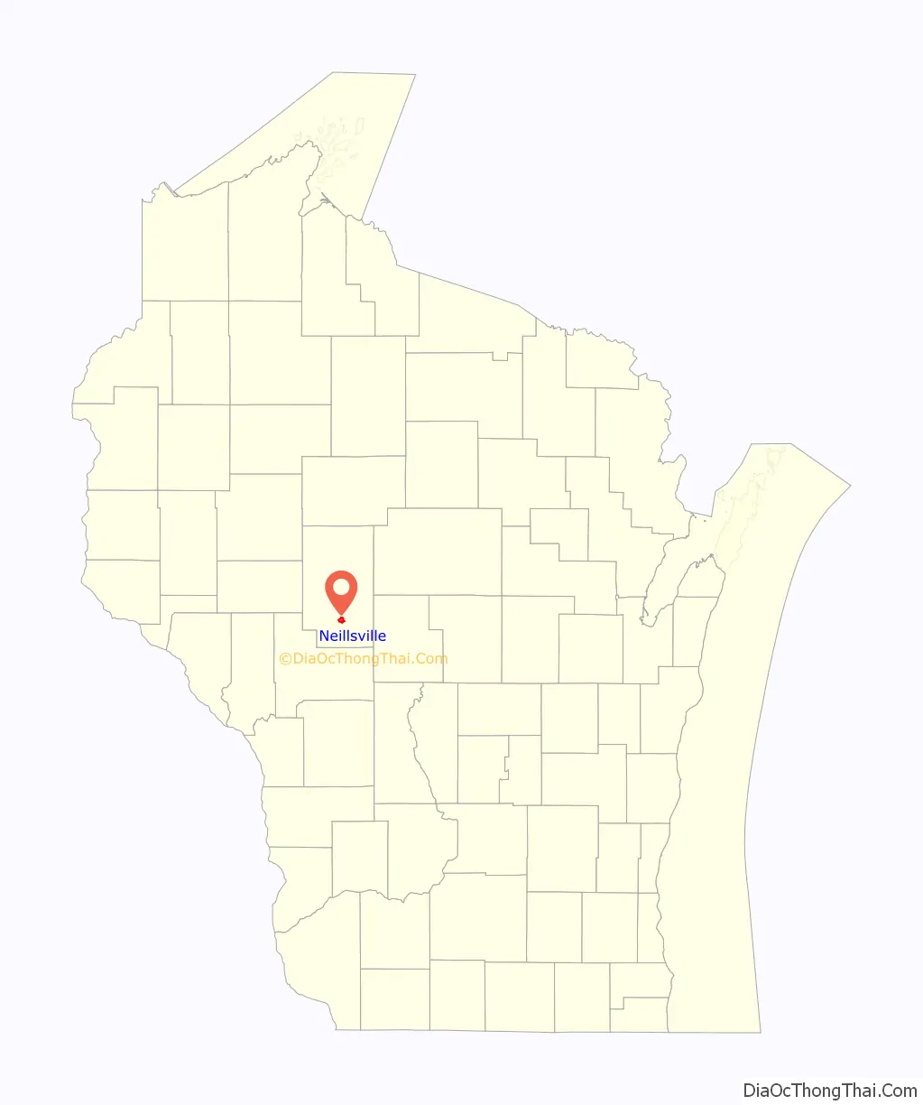
Neillsville location map. Where is Neillsville city?
History
The Ojibwa were the earliest known residents of the Neillsville area.
The first settlers of European descent in the area were James O’Neill and his party, who arrived around 1845, looking for a location to build a sawmill along the Black River. The city was named in honor of O’Neill, as was O’Neill Creek, which runs through the center of the city and drains into the Black River.
In 1854, O’Neill’s Mill, as Neillsville was originally called, was selected as the county seat of Clark County.
Neillsville was platted on April 14, 1855 and incorporated in April 1882.
Neillsville is where noted architect William L. Steele died. Poor health had forced Steele to retire from architecture in late 1946, leaving his eldest son William L. Steele, Jr. and partner Josiah D. Sandham in charge of the practice. Steele had come to Neillsville to live with one of his daughters, Sallie (Mrs. Thomas S. Noble, Jr.), and died at her house on March 4, 1949.
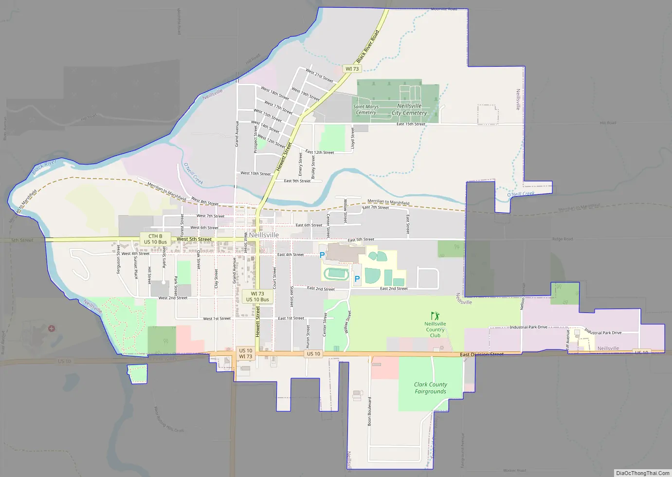
Neillsville Road Map
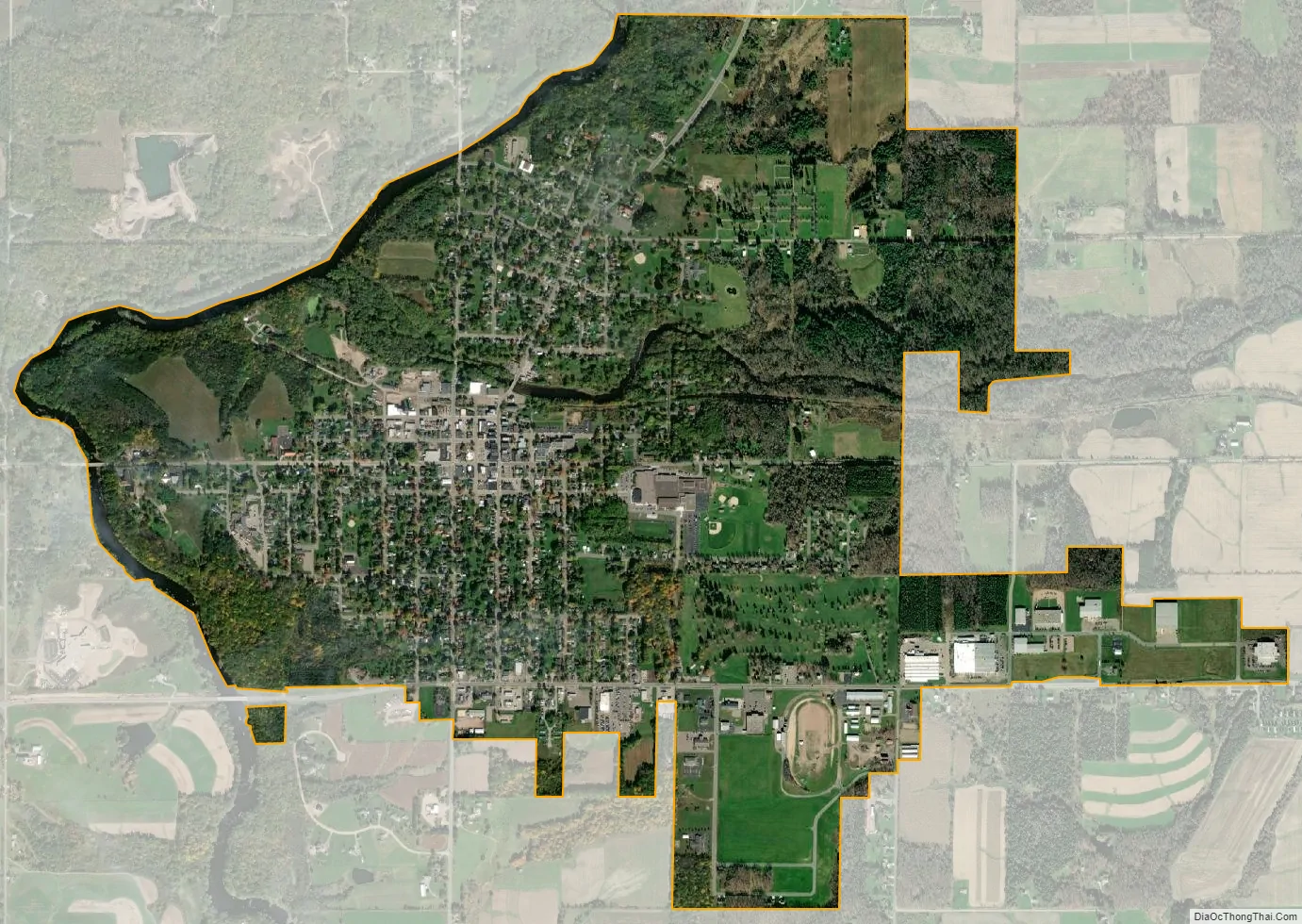
Neillsville city Satellite Map
Geography
Neillsville is located at 44°33′40″N 90°35′45″W / 44.56111°N 90.59583°W / 44.56111; -90.59583 (44.560996, -90.595746).
According to the United States Census Bureau, the city has a total area of 2.87 square miles (7.43 km), of which, 2.77 square miles (7.17 km) is land and 0.10 square miles (0.26 km) is water.
The city lies on US Highway 10 and State Trunk Highway 73.
See also
Map of Wisconsin State and its subdivision:- Adams
- Ashland
- Barron
- Bayfield
- Brown
- Buffalo
- Burnett
- Calumet
- Chippewa
- Clark
- Columbia
- Crawford
- Dane
- Dodge
- Door
- Douglas
- Dunn
- Eau Claire
- Florence
- Fond du Lac
- Forest
- Grant
- Green
- Green Lake
- Iowa
- Iron
- Jackson
- Jefferson
- Juneau
- Kenosha
- Kewaunee
- La Crosse
- Lafayette
- Lake Michigan
- Lake Superior
- Langlade
- Lincoln
- Manitowoc
- Marathon
- Marinette
- Marquette
- Menominee
- Milwaukee
- Monroe
- Oconto
- Oneida
- Outagamie
- Ozaukee
- Pepin
- Pierce
- Polk
- Portage
- Price
- Racine
- Richland
- Rock
- Rusk
- Saint Croix
- Sauk
- Sawyer
- Shawano
- Sheboygan
- Taylor
- Trempealeau
- Vernon
- Vilas
- Walworth
- Washburn
- Washington
- Waukesha
- Waupaca
- Waushara
- Winnebago
- Wood
- Alabama
- Alaska
- Arizona
- Arkansas
- California
- Colorado
- Connecticut
- Delaware
- District of Columbia
- Florida
- Georgia
- Hawaii
- Idaho
- Illinois
- Indiana
- Iowa
- Kansas
- Kentucky
- Louisiana
- Maine
- Maryland
- Massachusetts
- Michigan
- Minnesota
- Mississippi
- Missouri
- Montana
- Nebraska
- Nevada
- New Hampshire
- New Jersey
- New Mexico
- New York
- North Carolina
- North Dakota
- Ohio
- Oklahoma
- Oregon
- Pennsylvania
- Rhode Island
- South Carolina
- South Dakota
- Tennessee
- Texas
- Utah
- Vermont
- Virginia
- Washington
- West Virginia
- Wisconsin
- Wyoming