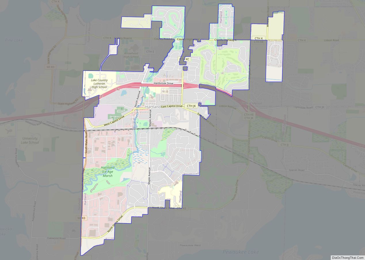
North Prairie is a village in Waukesha County, Wisconsin. It is located in the Town of Genesee, near the town’s southwestern corner. The population was 2,202 at the 2020 census.
| Name: | North Prairie village |
|---|---|
| LSAD Code: | 47 |
| LSAD Description: | village (suffix) |
| State: | Wisconsin |
| County: | Waukesha County |
| Elevation: | 948 ft (289 m) |
| Total Area: | 2.78 sq mi (7.19 km²) |
| Land Area: | 2.75 sq mi (7.13 km²) |
| Water Area: | 0.03 sq mi (0.06 km²) |
| Total Population: | 2,202 |
| Population Density: | 809.30/sq mi (312.48/km²) |
| ZIP code: | 53159 |
| FIPS code: | 5558400 |
| GNISfeature ID: | 1570484 |
| Website: | www.northprairie.net |
Online Interactive Map
Click on ![]() to view map in "full screen" mode.
to view map in "full screen" mode.
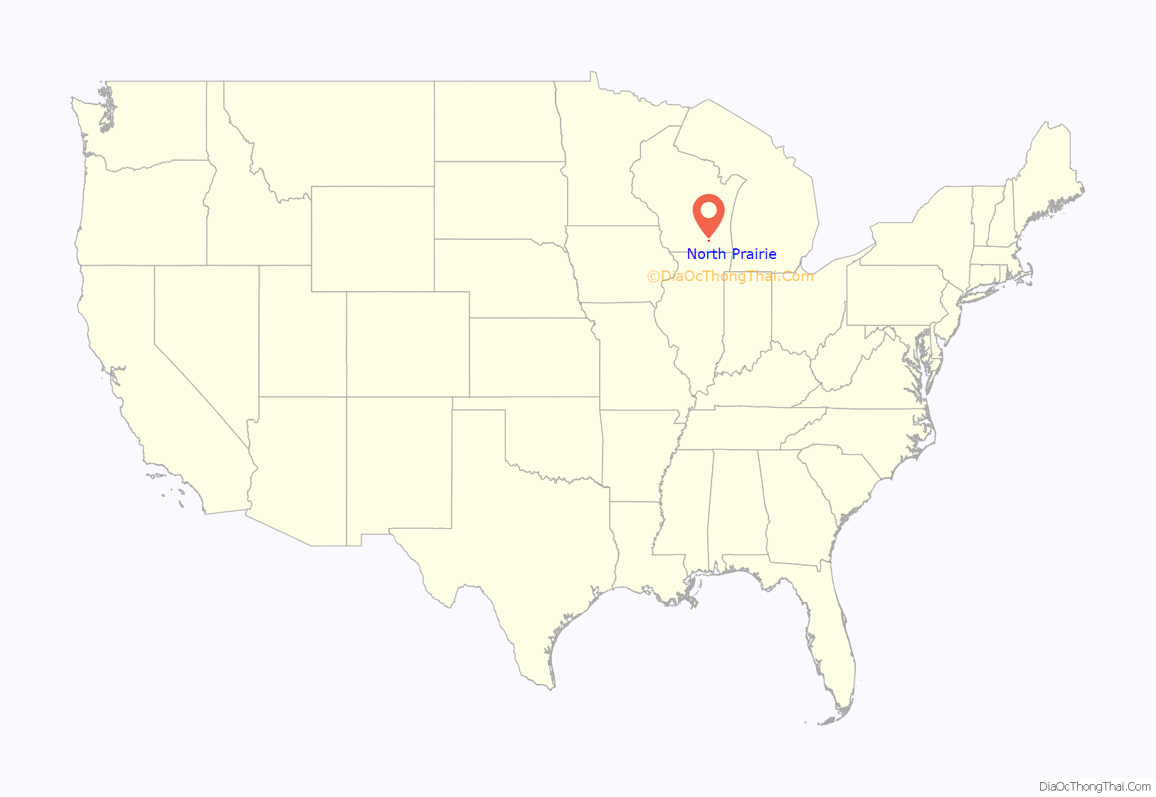
North Prairie location map. Where is North Prairie village?
History
Thomas Sugden and two fellow prospectors from Mukwonago named the village in 1826 (they had gotten this far, “and, as they did not go any farther north, they concluded to call this North Prairie”). Blacksmiths from Eagle, Chas. Raynaus and Mr. Denny, were the first settlers to arrive that following year, although the first claim came from Stillman Smith. Farmers began to settle the North Prairie in the 1830s to raise their prize livestock and grain. The population grew and in 1840 Raynaus began the first school from his house.
By 1850 the village had a general store and post office. The Milwaukee & Mississippi Railroad went through in 1852, but the village remained mostly rural. North Prairie would later become one of the area’s more noted residential centers. A rumor of oil in 1866 enabled the North Prairie Petroleum Company to fund $50,000 “to dig a hole & extract oil or minerals,” but this venture was a failure.
St. John’s Lutheran Church was built in 1877 and North Prairie later incorporated in 1919. Morey Milk Condensery opened a plant in 1917 and by 1920 North Prairie saw a jump in growth due to this industry. Morey Milk employed over 200 people and became a primary source of income to more than 85% of the village households. The plant was sold in 1924 and is no longer in operation.
In an interview with the Milwaukee Journal Sentinel in 2003, the previous owners of Bill’s Self-Service and Mini-Mart, Bill and Avis McKenzie, described how the village boomed in the 1940s and 1950s. “We had three grocery stores, a hardware store, a mill, a granary, a post office, a drug store with eating counter, a few taverns with eating space, and three service stations, which at that time all had garages for car repair… One by one, they left town. Now we have one tavern, two service stations, a diner – and Bill’s Service.”
North Prairie Road Map
North Prairie city Satellite Map
Geography
North Prairie is located at 42°55’59” North, 88°24’4″ West (42.933087, -88.401050).
According to the United States Census Bureau, the village has a total area of 2.84 square miles (7.36 km), of which, 2.81 square miles (7.28 km) of it is land and 0.03 square miles (0.08 km) is water.
See also
Map of Wisconsin State and its subdivision:- Adams
- Ashland
- Barron
- Bayfield
- Brown
- Buffalo
- Burnett
- Calumet
- Chippewa
- Clark
- Columbia
- Crawford
- Dane
- Dodge
- Door
- Douglas
- Dunn
- Eau Claire
- Florence
- Fond du Lac
- Forest
- Grant
- Green
- Green Lake
- Iowa
- Iron
- Jackson
- Jefferson
- Juneau
- Kenosha
- Kewaunee
- La Crosse
- Lafayette
- Lake Michigan
- Lake Superior
- Langlade
- Lincoln
- Manitowoc
- Marathon
- Marinette
- Marquette
- Menominee
- Milwaukee
- Monroe
- Oconto
- Oneida
- Outagamie
- Ozaukee
- Pepin
- Pierce
- Polk
- Portage
- Price
- Racine
- Richland
- Rock
- Rusk
- Saint Croix
- Sauk
- Sawyer
- Shawano
- Sheboygan
- Taylor
- Trempealeau
- Vernon
- Vilas
- Walworth
- Washburn
- Washington
- Waukesha
- Waupaca
- Waushara
- Winnebago
- Wood
- Alabama
- Alaska
- Arizona
- Arkansas
- California
- Colorado
- Connecticut
- Delaware
- District of Columbia
- Florida
- Georgia
- Hawaii
- Idaho
- Illinois
- Indiana
- Iowa
- Kansas
- Kentucky
- Louisiana
- Maine
- Maryland
- Massachusetts
- Michigan
- Minnesota
- Mississippi
- Missouri
- Montana
- Nebraska
- Nevada
- New Hampshire
- New Jersey
- New Mexico
- New York
- North Carolina
- North Dakota
- Ohio
- Oklahoma
- Oregon
- Pennsylvania
- Rhode Island
- South Carolina
- South Dakota
- Tennessee
- Texas
- Utah
- Vermont
- Virginia
- Washington
- West Virginia
- Wisconsin
- Wyoming
