Orfordville is a village in Rock County, Wisconsin, United States. It is located at the intersection of Highway 11, Highway 213, and the Wisconsin and Southern Railroad. The population was 1,473 at the 2020 census.
| Name: | Orfordville village |
|---|---|
| LSAD Code: | 47 |
| LSAD Description: | village (suffix) |
| State: | Wisconsin |
| County: | Rock County |
| Elevation: | 889 ft (271 m) |
| Total Area: | 1.19 sq mi (3.07 km²) |
| Land Area: | 1.19 sq mi (3.07 km²) |
| Water Area: | 0.00 sq mi (0.00 km²) |
| Total Population: | 1,473 |
| Population Density: | 1,262.01/sq mi (487.43/km²) |
| ZIP code: | 53576 |
| Area code: | 608 |
| FIPS code: | 5560250 |
| GNISfeature ID: | 1570857 |
| Website: | http://www.orfordville.org |
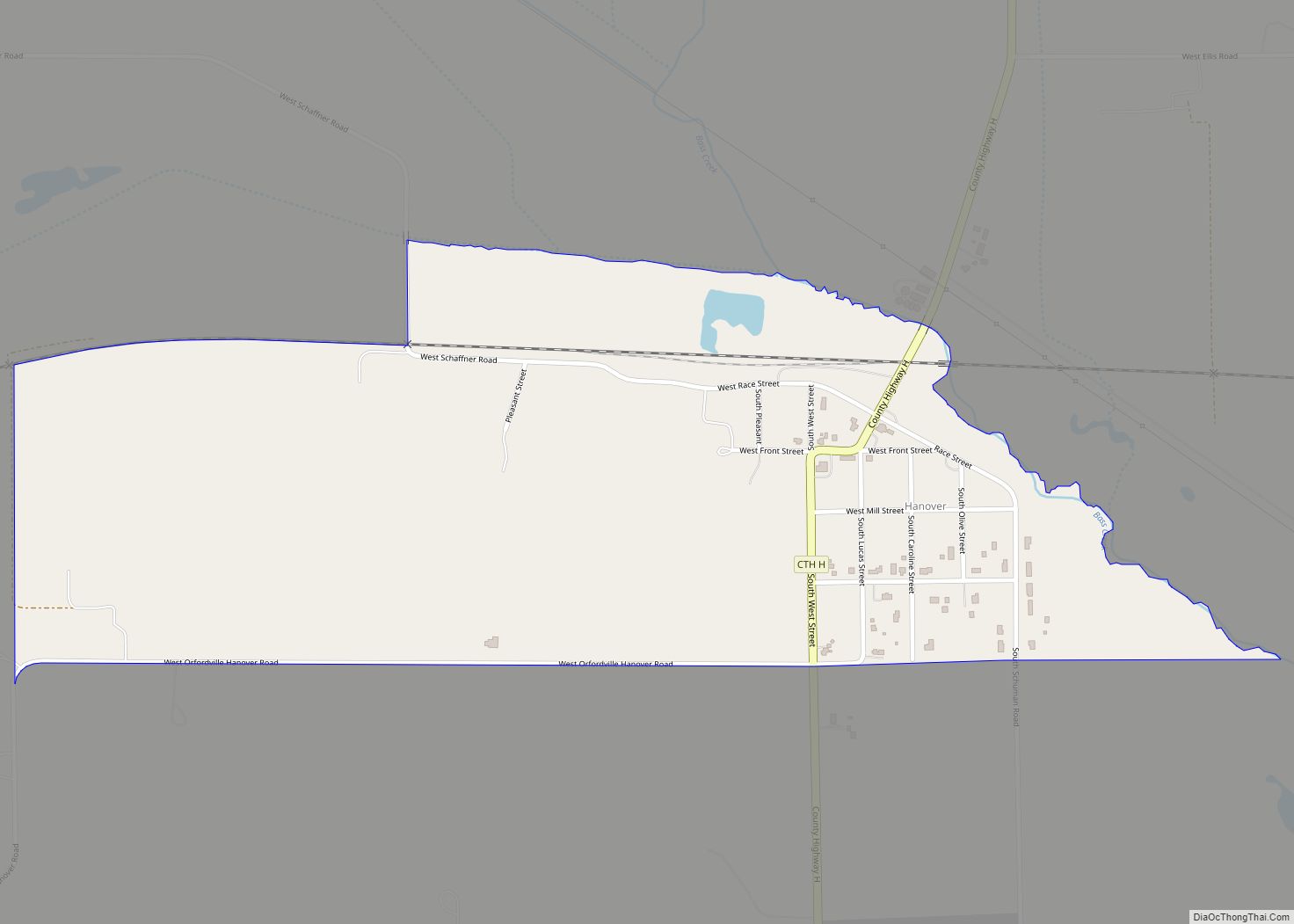
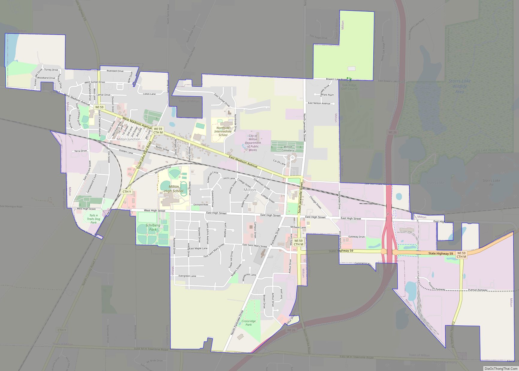
Online Interactive Map
Click on ![]() to view map in "full screen" mode.
to view map in "full screen" mode.
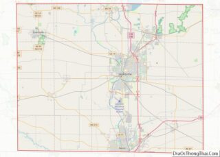
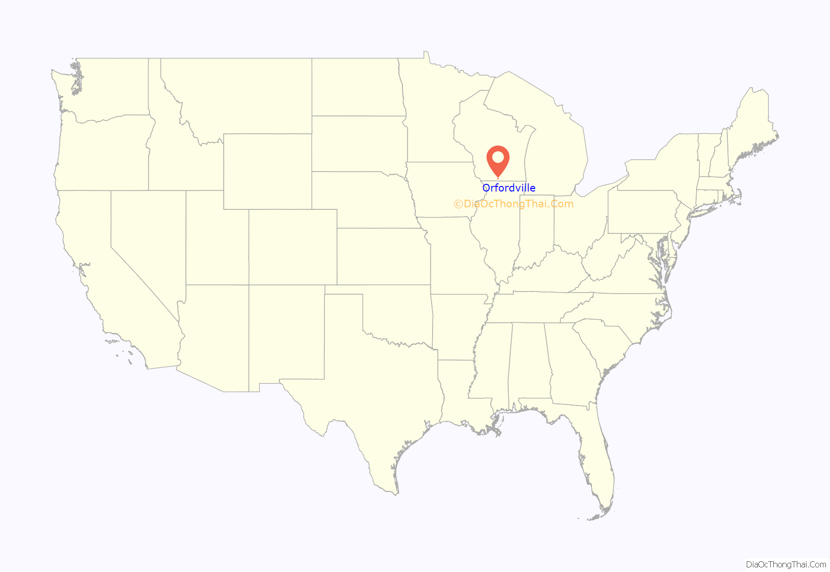
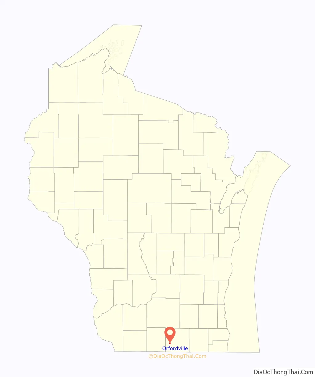
Orfordville location map. Where is Orfordville village?
History
The origin of its name came when a surveyor suggested Orford after a town in New Hampshire. It remained that until the establishment of a post office, when it was confused with Oxford, Wisconsin. The name was then changed to Orfordville at the suggestion of the postmaster general.
Orfordville Road Map
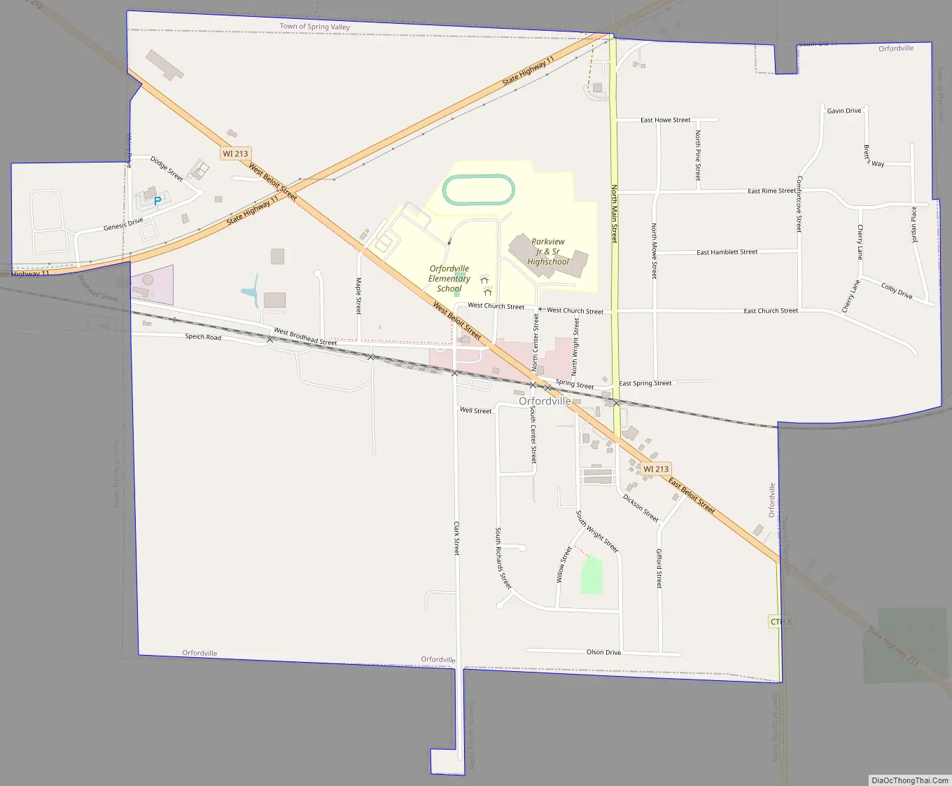
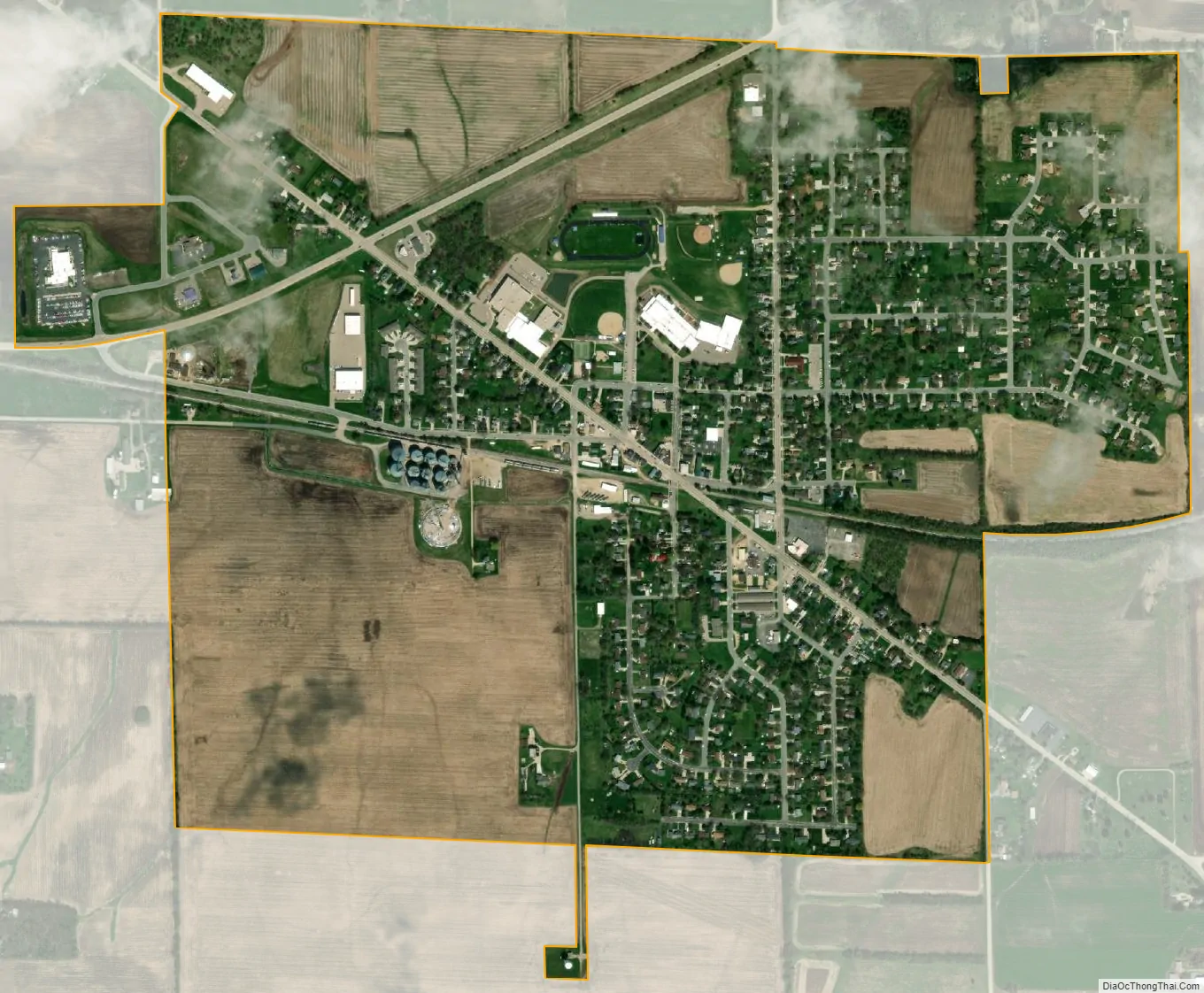
Orfordville city Satellite Map
Geography
Orfordville is located at 42°37′45″N 89°15′24″W / 42.62917°N 89.25667°W / 42.62917; -89.25667 (42.629300, −89.256755). The elevation is 889 feet (271 m).
According to the United States Census Bureau, the village has a total area of 1.17 square miles (3.03 km), all of it land.
See also
Map of Wisconsin State and its subdivision:- Adams
- Ashland
- Barron
- Bayfield
- Brown
- Buffalo
- Burnett
- Calumet
- Chippewa
- Clark
- Columbia
- Crawford
- Dane
- Dodge
- Door
- Douglas
- Dunn
- Eau Claire
- Florence
- Fond du Lac
- Forest
- Grant
- Green
- Green Lake
- Iowa
- Iron
- Jackson
- Jefferson
- Juneau
- Kenosha
- Kewaunee
- La Crosse
- Lafayette
- Lake Michigan
- Lake Superior
- Langlade
- Lincoln
- Manitowoc
- Marathon
- Marinette
- Marquette
- Menominee
- Milwaukee
- Monroe
- Oconto
- Oneida
- Outagamie
- Ozaukee
- Pepin
- Pierce
- Polk
- Portage
- Price
- Racine
- Richland
- Rock
- Rusk
- Saint Croix
- Sauk
- Sawyer
- Shawano
- Sheboygan
- Taylor
- Trempealeau
- Vernon
- Vilas
- Walworth
- Washburn
- Washington
- Waukesha
- Waupaca
- Waushara
- Winnebago
- Wood
- Alabama
- Alaska
- Arizona
- Arkansas
- California
- Colorado
- Connecticut
- Delaware
- District of Columbia
- Florida
- Georgia
- Hawaii
- Idaho
- Illinois
- Indiana
- Iowa
- Kansas
- Kentucky
- Louisiana
- Maine
- Maryland
- Massachusetts
- Michigan
- Minnesota
- Mississippi
- Missouri
- Montana
- Nebraska
- Nevada
- New Hampshire
- New Jersey
- New Mexico
- New York
- North Carolina
- North Dakota
- Ohio
- Oklahoma
- Oregon
- Pennsylvania
- Rhode Island
- South Carolina
- South Dakota
- Tennessee
- Texas
- Utah
- Vermont
- Virginia
- Washington
- West Virginia
- Wisconsin
- Wyoming