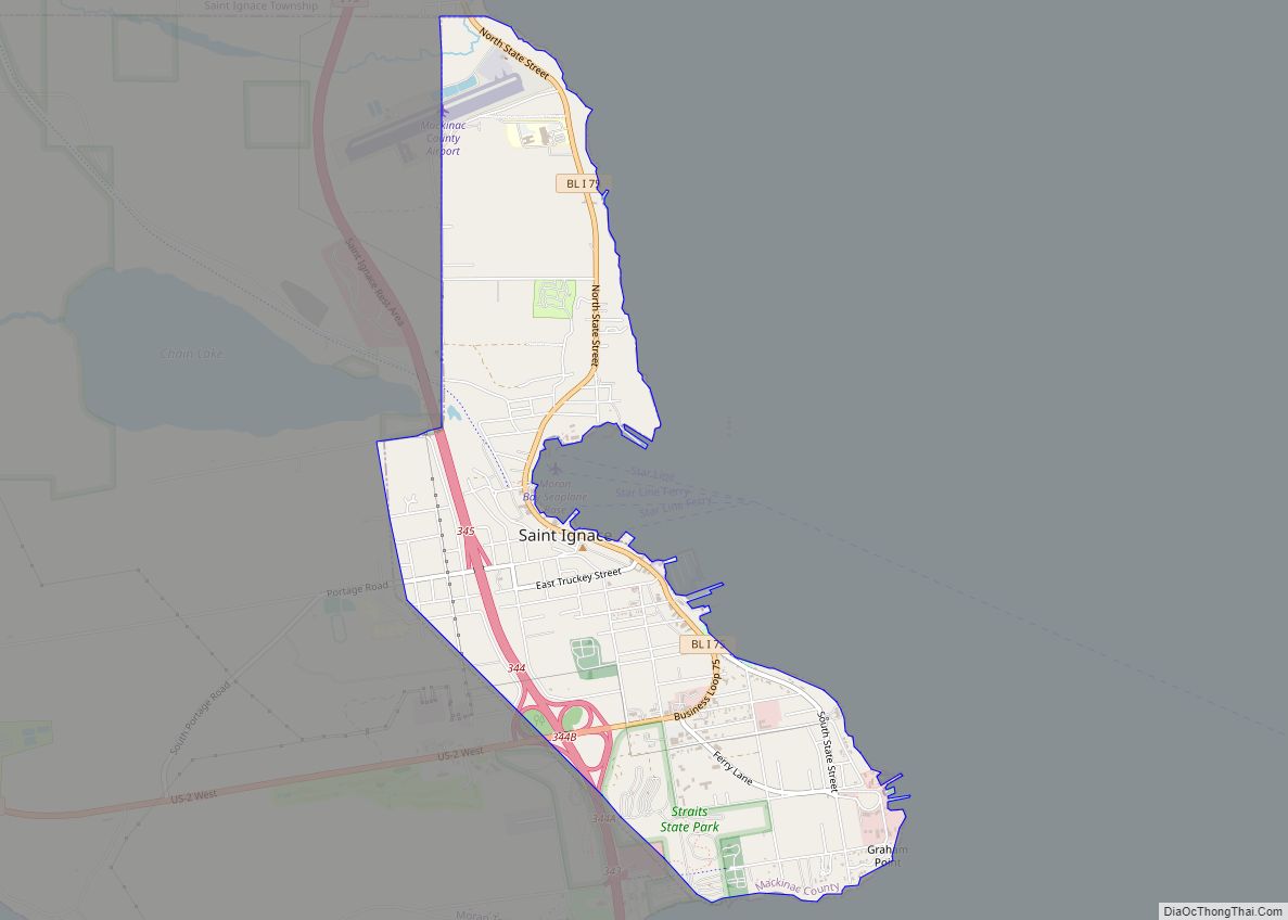
St. Ignace (/ˈɪɡnəs/ IHG-nəss) is a city in the U.S. state of Michigan and the county seat of Mackinac County. The city had a population of 2,452 at the 2010 census. St. Ignace Township is located just to the north of the city, but the two are administered autonomously.
St. Ignace is located along Lake Huron in the Upper Peninsula on the northern side of the Straits of Mackinac. St. Ignace serves as a gateway to the state’s Upper Peninsula for travellers coming from the Lower Peninsula, as the city is at the north end of the Mackinac Bridge, opposite of Mackinaw City. It has one of two ports which provide ferry service to nearby Mackinac Island. St. Ignace’s history dates back to 1671 when French Jesuit priests founded the St. Ignace Mission, which makes it one of the oldest European settlements in the state after Sault Ste. Marie. The area was previously inhabited by the Wyandot, as well as the Ojibwe and Ottawa tribes of Native Americans. St. Ignace soon became the center of fur trading with the French. It was incorporated as a village in 1882 and a city in 1883. The Mackinac Bands of Chippewa and Ottawa Indians is headquartered at St. Ignace, and the city continues to have a high population of Native Americans.
| Name: | St. Ignace city |
|---|---|
| LSAD Code: | 25 |
| LSAD Description: | city (suffix) |
| State: | Michigan |
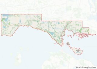
| County: | Mackinac County |
| Incorporated: | February 23, 1882; 141 years ago (1882-02-23) (village) |
| Elevation: | 587 ft (179 m) |
| Total Area: | 2.65 sq mi (6.86 km²) |
| Land Area: | 2.64 sq mi (6.83 km²) |
| Water Area: | 0.01 sq mi (0.03 km²) |
| Population Density: | 874.15/sq mi (337.56/km²) |
| Area code: | 906 |
| FIPS code: | 2670840 |
Online Interactive Map
Click on ![]() to view map in "full screen" mode.
to view map in "full screen" mode.
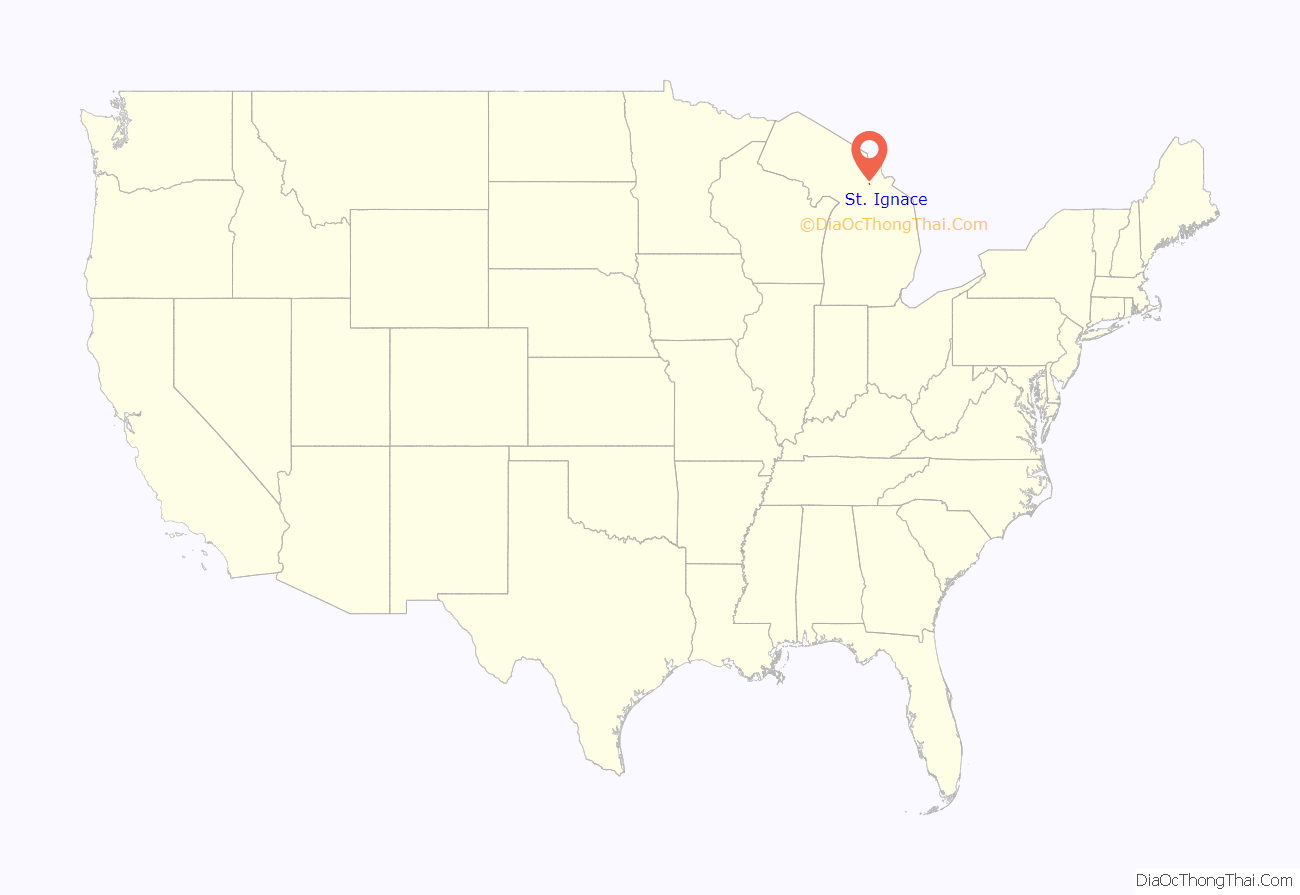
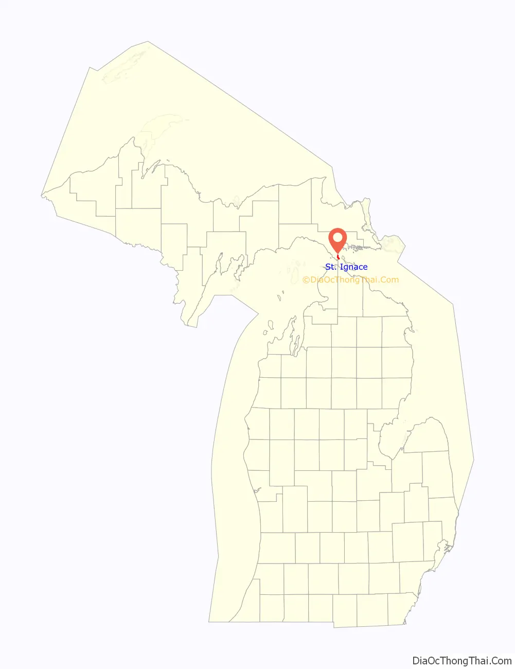
St. Ignace location map. Where is St. Ignace city?
History
St. Ignace is the second-oldest city founded by Europeans in Michigan. Various cultures of Native Americans had inhabited the area for thousands of years before the first exploration here by French colonists. Early historic peoples of the area in the 17th century were predominantly the Iroquoian-speaking Wendat, whom the French called the Huron.
By the early 18th century, the Anishinaabe Ojibwe, who spoke one of the Algonquian languages, became prominent in the region. Another related Anishinaabe people were the Ottawa or Odawa in their language. The third member of the Council of Three Fires, a loose confederacy of these tribes, was the Potowatomi people. All three peoples have descendants who are members of various federally recognized tribes in northern Michigan.
French explorer and priest Jacques Marquette founded the St. Ignace Mission on this site in 1671 and was buried here after his death. He named it for St. Ignatius of Loyola, founder of the Jesuit religious order, whose priests were active as missionaries across North America. (Ignace is the French version of Ignatius.) Jesuits served at missions to convert First Nations/Native Americans to Catholicism and to share French culture. In 1673, Marquette joined the expedition of Louis Jolliet, a French-Canadian explorer, and departed from St. Ignace on May 17, with two canoes and five voyageurs of French-Indian ancestry (Métis) on a voyage to find the Mississippi River. They were successful and descended downriver as far as Arkansas.
While separately exploring the Great Lakes region on the ship Le Griffon with Louis Hennepin, Sieur de La Salle reached St. Ignace on August 27, 1679. Louis de La Porte, Sieur de Louvigny founded Fort de Buade here in 1681 as a fur trading post. It was later directed by Antoine Cadillac. It was closed by the French in 1697. The Jesuits abandoned their mission in 1705.
The Ojibwe, who came to dominate most of the Native American territory of present-day Michigan in the 18th century, were allies of the French in the Seven Years’ War against the British. After the British victory in the Seven Years’ War, in 1763 they took over the territory of France in North America, including this part of the former New France. After the victory of rebellious colonists in the American Revolutionary War, in 1783 the village was included within the new United States, as part of what became called its Northwest Territory.
An important fur trading site for both the French and the British, St. Ignace declined in importance by the early 19th century. The Ojibwe had allied with Great Britain in the War of 1812, based on their long trading and a hope they would expel American colonists. The fur trade declined at St. Ignace largely because the United States prohibited British Canadian traders from operating across the border after the end of the war. At the same time European demand for North American furs was declining as tastes changed, and other parts of the economy grew.
Both British-Canadians and later Americans operated a larger trading center at Sault Ste. Marie, which developed on both sides of the Canadian-US border, until the decline of the fur trade in the 1830s. The fur trade also suffered before and during the hostilities of the War of 1812, as the United States first imposed a boycott on all trade with England, including traders in Canada. Many local people kept businesses going by smuggling, but postwar prohibitions on the fur trade were more difficult to avoid. prohibited British traders from operating across the border, as had been their earlier practice. The Ojibwe had allied with the British, their longtime trading partners, during the War of 1812,
In 1882, construction of the Detroit, Mackinac and Marquette Railroad, which connected the straits area to the major city of Detroit, provided an economic boost to the village. Farmers and the lumber industry could more easily get products to a major market. St. Ignace was incorporated as a village on February 23, 1882, and as a city in 1883.
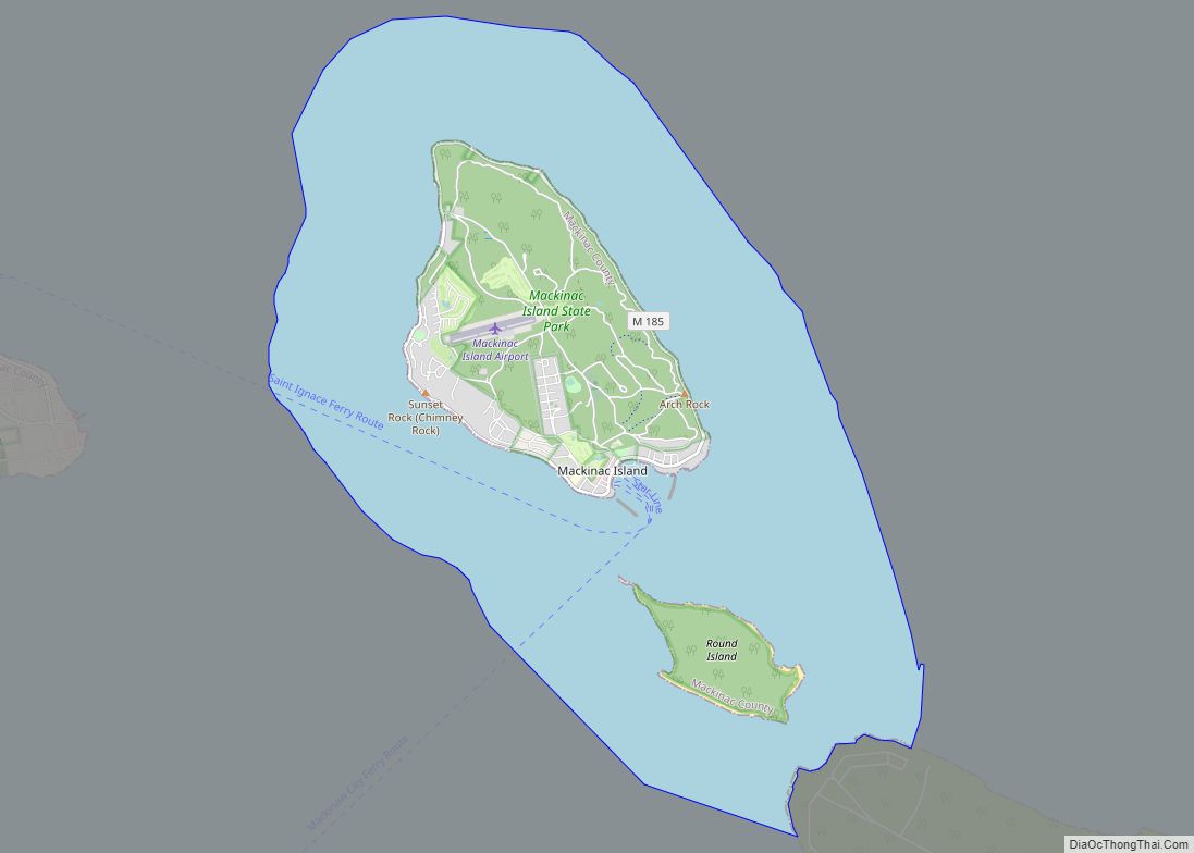
In the late 19th century, a new sector of its economy developed, as it began to attract tourists as a popular summer resort and for its connection to Mackinac Island.
Since the late 20th century, the city has become a rural destination for heritage tourism and is part of a regional area popular for summer tourism. A variety of water sports and activities are available.
The Mackinac Bands of Chippewa and Ottawa Indians, a state-recognized tribe, is based in St. Ignace. It also has bands in several other counties in the region. With an enrolled membership of 4,000 in this area and state recognition, it has been seeking federal recognition since 1998. The larger federally recognized Sault Ste. Marie Tribe of Chippewa Indians, based in the city of that name and the region of northern Michigan, owns and operates a gaming casino in St. Ignace on land it controls in the city, in addition to land and casinos in four other cities in the state.
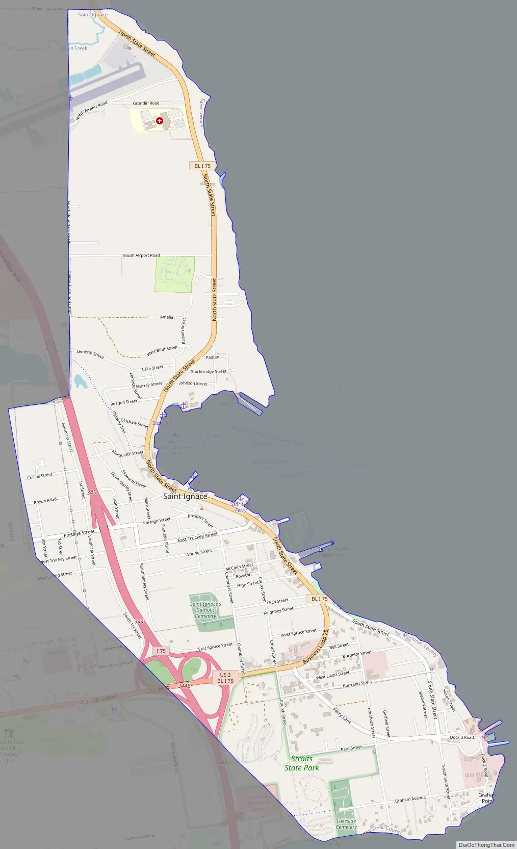
St. Ignace Road Map
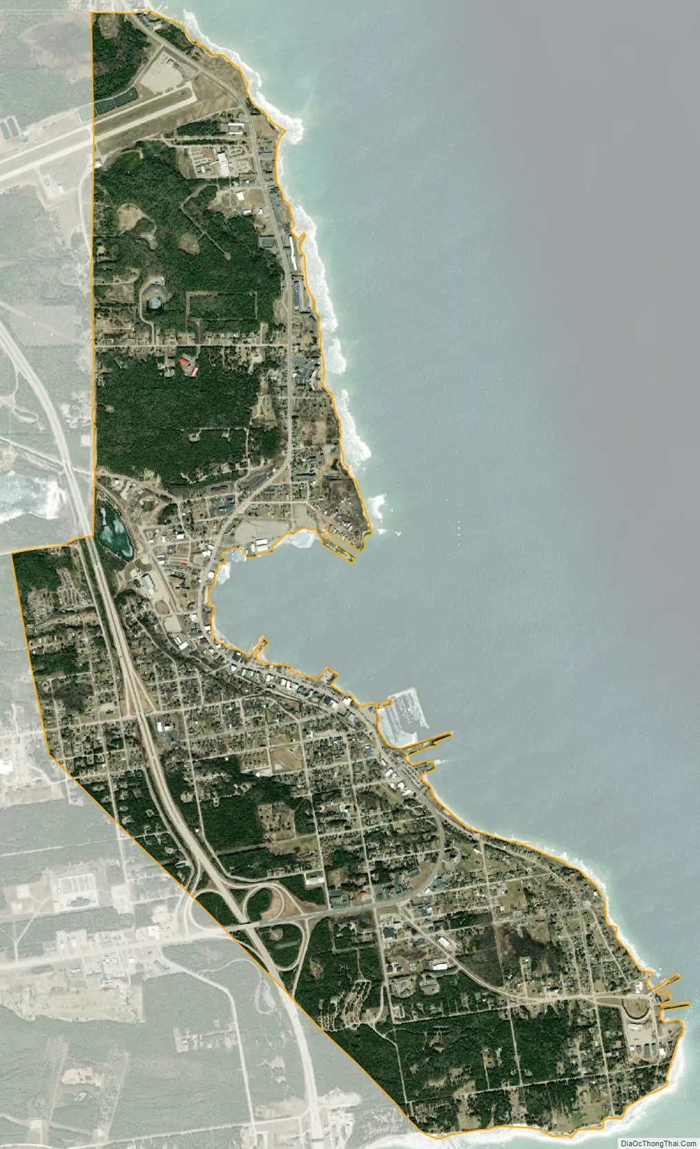
St. Ignace city Satellite Map
Geography
According to the United States Census Bureau, the city has a total area of 2.69 square miles (6.97 km), of which 2.68 square miles (6.94 km) is land and 0.01 square miles (0.03 km) is water.
See also
Map of Michigan State and its subdivision:- Alcona
- Alger
- Allegan
- Alpena
- Antrim
- Arenac
- Baraga
- Barry
- Bay
- Benzie
- Berrien
- Branch
- Calhoun
- Cass
- Charlevoix
- Cheboygan
- Chippewa
- Clare
- Clinton
- Crawford
- Delta
- Dickinson
- Eaton
- Emmet
- Genesee
- Gladwin
- Gogebic
- Grand Traverse
- Gratiot
- Hillsdale
- Houghton
- Huron
- Ingham
- Ionia
- Iosco
- Iron
- Isabella
- Jackson
- Kalamazoo
- Kalkaska
- Kent
- Keweenaw
- Lake
- Lake Hurron
- Lake Michigan
- Lake St. Clair
- Lake Superior
- Lapeer
- Leelanau
- Lenawee
- Livingston
- Luce
- Mackinac
- Macomb
- Manistee
- Marquette
- Mason
- Mecosta
- Menominee
- Midland
- Missaukee
- Monroe
- Montcalm
- Montmorency
- Muskegon
- Newaygo
- Oakland
- Oceana
- Ogemaw
- Ontonagon
- Osceola
- Oscoda
- Otsego
- Ottawa
- Presque Isle
- Roscommon
- Saginaw
- Saint Clair
- Saint Joseph
- Sanilac
- Schoolcraft
- Shiawassee
- Tuscola
- Van Buren
- Washtenaw
- Wayne
- Wexford
- Alabama
- Alaska
- Arizona
- Arkansas
- California
- Colorado
- Connecticut
- Delaware
- District of Columbia
- Florida
- Georgia
- Hawaii
- Idaho
- Illinois
- Indiana
- Iowa
- Kansas
- Kentucky
- Louisiana
- Maine
- Maryland
- Massachusetts
- Michigan
- Minnesota
- Mississippi
- Missouri
- Montana
- Nebraska
- Nevada
- New Hampshire
- New Jersey
- New Mexico
- New York
- North Carolina
- North Dakota
- Ohio
- Oklahoma
- Oregon
- Pennsylvania
- Rhode Island
- South Carolina
- South Dakota
- Tennessee
- Texas
- Utah
- Vermont
- Virginia
- Washington
- West Virginia
- Wisconsin
- Wyoming