Richfield is a village in Washington County, Wisconsin, United States. The population was 11,739 at the 2020 census. The previously unincorporated communities of Hubertus and Pleasant Hill are located in the village, as well as the communities of Colgate and Lake Five, which are partially located in Richfield.
| Name: | Richfield village |
|---|---|
| LSAD Code: | 47 |
| LSAD Description: | village (suffix) |
| State: | Wisconsin |
| County: | Washington County |
| Incorporated: | February 13, 2008; 15 years ago (February 13, 2008) |
| Elevation: | 1,148 ft (350 m) |
| Total Area: | 36.47 sq mi (94.46 km²) |
| Land Area: | 35.92 sq mi (93.04 km²) |
| Water Area: | 0.55 sq mi (1.42 km²) |
| Total Population: | 11,739 |
| Population Density: | 329.97/sq mi (127.40/km²) |
| ZIP code: | 53076 |
| Area code: | 262 |
| FIPS code: | 5567475 |
| GNISfeature ID: | 1584022 |
| Website: | www.richfieldwi.gov |
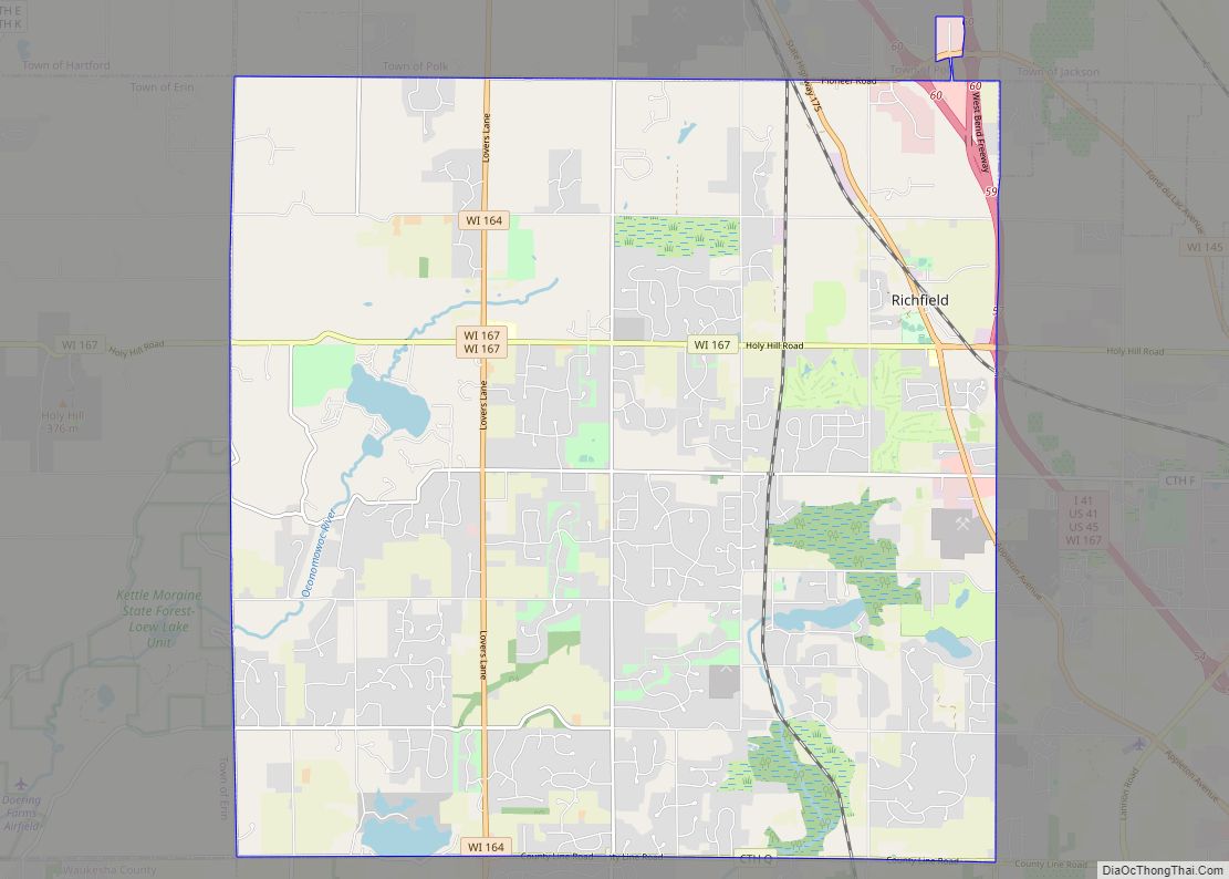
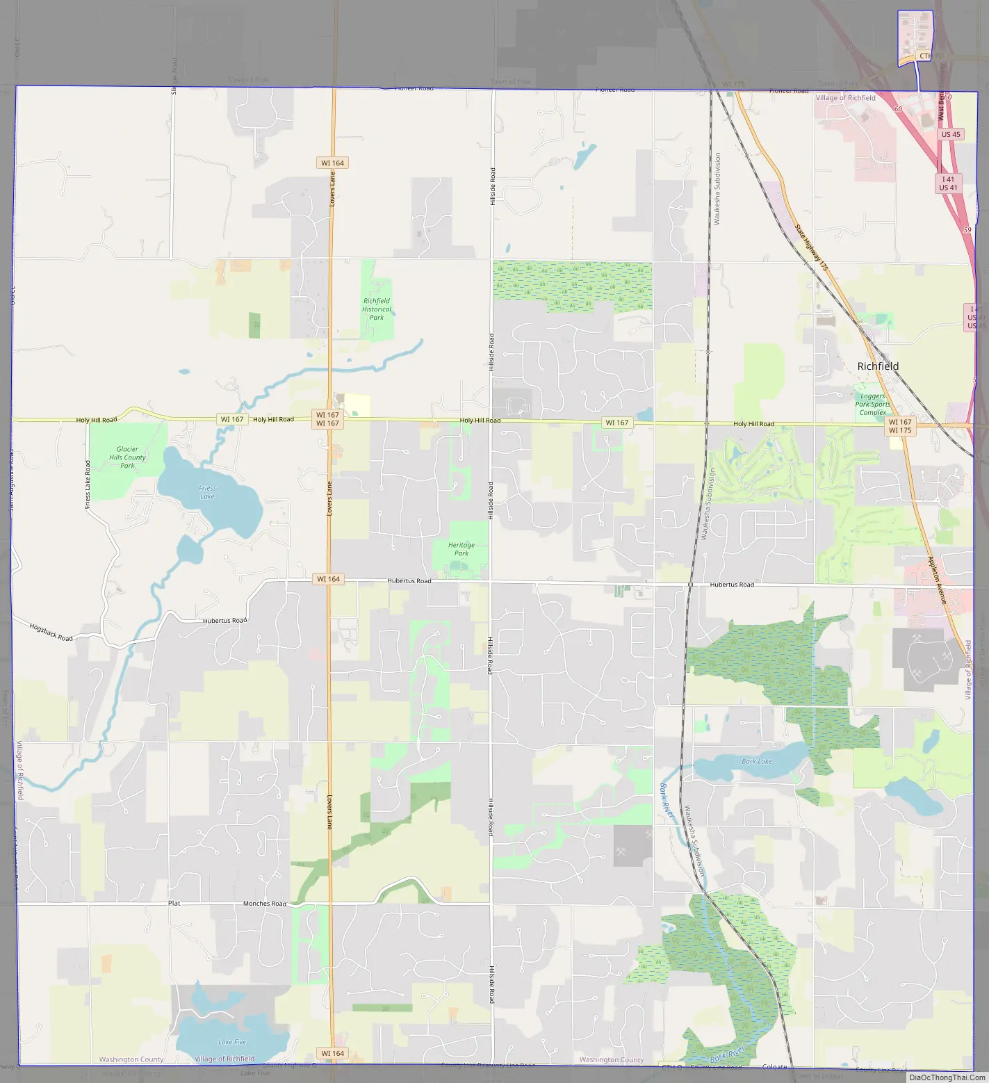
Online Interactive Map
Click on ![]() to view map in "full screen" mode.
to view map in "full screen" mode.
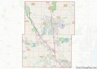
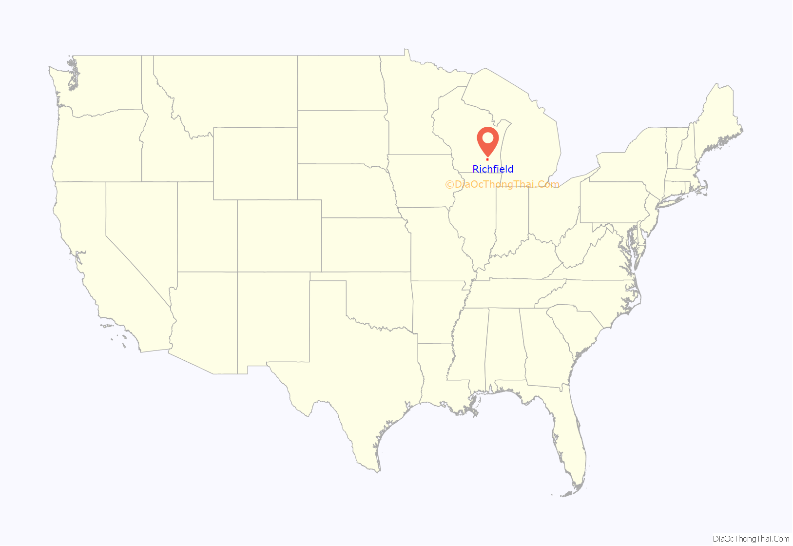
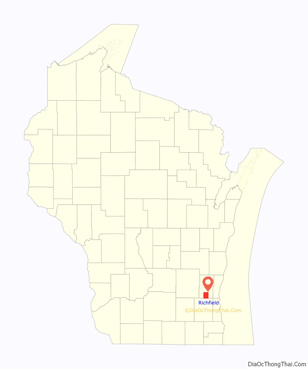
Richfield location map. Where is Richfield village?
History
The Richfield area was originally inhabited by Native Americans, including the Menominee and Potawatomi peoples. In 1831, The Menominee surrendered their claims to the land to the United States Federal Government through the Treaty of Washington, and the Potawatomi surrendered claims in 1833 through the 1833 Treaty of Chicago, which (after being ratified in 1835) required them to leave the area by 1838. While many Native people moved west of the Mississippi River to Kansas, some chose to remain, and were referred to as “strolling Potawatomi” in contemporary documents because many of them were migrants who subsisted by squatting on their ancestral lands, which were now owned by white settlers. Eventually, the Potawatomi who evaded forced removal gathered in northern Wisconsin, where they formed the Forest County Potawatomi Community.
On May 31, 1841, a land speculator named Samuel Spivey purchased 600 acres of land in the Richfield, becoming the first white landowner in the Richfield area and marking the beginning of early settlement. Several weeks later, on July 9, 1841, Jacob Snyder purchased land in the area and settled in Richfield, becoming the first white permanent resident. By 1843, German immigrants − particularly from Hesse-Darmstadt − were building farms in the area, and the community began to form. A group of German Catholics built the community’s first church in 1845 and dedicated it to Saint Hubertus. Today, the community that formed around the church also bears the saint’s name.
The Town of Richfield was organized on January 21, 1846, and by 1848 almost all of the town’s land was owned by Irish and German immigrant farmers. Wheat farming dominated the local economy until 1880, when dairy farming became more popular in Richfield and the state at large.
The La Crosse and Milwaukee Railroad was constructed through the community in 1855, and while it initially led to local economic growth, the company failed in 1861. Many local landowners had taken out mortgages on land for the railroad in exchange for company shares. The company’s failure left the landowners with mortgages to pay off, creating a local crisis in which some families were forced to sell their farms.
In the early 20th century, camps and other recreational facilities began to spring up on the shores of the numerous kettle lakes in Richfield, including YMCA Camp Minikani on Lake Amy Belle, which was founded in 1919.
The town was primarily agricultural until the 1970s when suburbanization led to increased real estate development and a decline in farming. On November 6, 2007, voters approved the town’s incorporation as the Village of Richfield by a margin of 3 to 1. The town became a village on February 13, 2008.
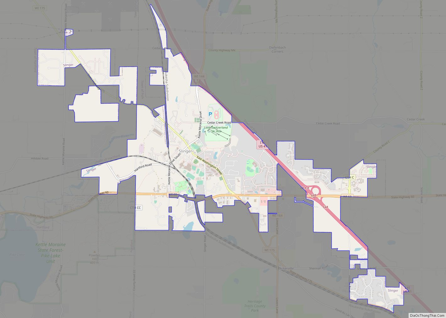
Richfield Road Map
Richfield city Satellite Map

Geography
According to the United States Census Bureau, the village has a total area of 36.46 square miles (94.43 km), of which, 35.91 square miles (93.01 km) of it is land and 0.55 square miles (1.42 km) is water. The low point in the village lies in Section 1 at Little Cedar Creek with an elevation of 856 feet. The high point in the village lies in Section 19 in the Cul-de-sac of Cheyenne Court at an elevation of 1,174 feet. (Washington County, Wi 2foot topography)
See also
Map of Wisconsin State and its subdivision:- Adams
- Ashland
- Barron
- Bayfield
- Brown
- Buffalo
- Burnett
- Calumet
- Chippewa
- Clark
- Columbia
- Crawford
- Dane
- Dodge
- Door
- Douglas
- Dunn
- Eau Claire
- Florence
- Fond du Lac
- Forest
- Grant
- Green
- Green Lake
- Iowa
- Iron
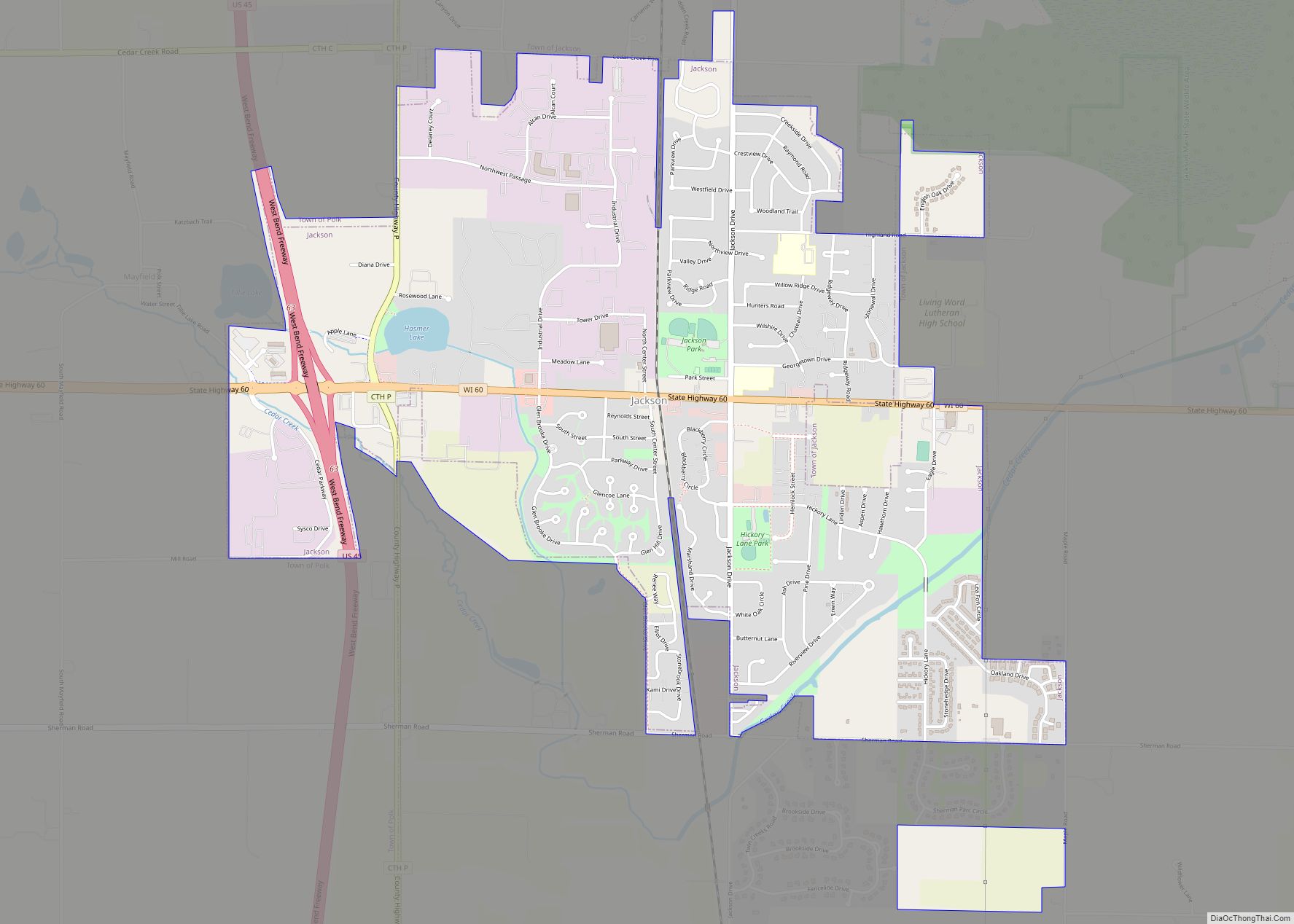
- Jackson
- Jefferson
- Juneau
- Kenosha
- Kewaunee
- La Crosse
- Lafayette
- Lake Michigan
- Lake Superior
- Langlade
- Lincoln
- Manitowoc
- Marathon
- Marinette
- Marquette
- Menominee
- Milwaukee
- Monroe
- Oconto
- Oneida
- Outagamie
- Ozaukee
- Pepin
- Pierce
- Polk
- Portage
- Price
- Racine
- Richland
- Rock
- Rusk
- Saint Croix
- Sauk
- Sawyer
- Shawano
- Sheboygan
- Taylor
- Trempealeau
- Vernon
- Vilas
- Walworth
- Washburn
- Washington
- Waukesha
- Waupaca
- Waushara
- Winnebago
- Wood
- Alabama
- Alaska
- Arizona
- Arkansas
- California
- Colorado
- Connecticut
- Delaware
- District of Columbia
- Florida
- Georgia
- Hawaii
- Idaho
- Illinois
- Indiana
- Iowa
- Kansas
- Kentucky
- Louisiana
- Maine
- Maryland
- Massachusetts
- Michigan
- Minnesota
- Mississippi
- Missouri
- Montana
- Nebraska
- Nevada
- New Hampshire
- New Jersey
- New Mexico
- New York
- North Carolina
- North Dakota
- Ohio
- Oklahoma
- Oregon
- Pennsylvania
- Rhode Island
- South Carolina
- South Dakota
- Tennessee
- Texas
- Utah
- Vermont
- Virginia
- Washington
- West Virginia
- Wisconsin
- Wyoming