Newburg is a village in Ozaukee and Washington Counties in the U.S. state of Wisconsin. The population was 1,254 at the 2010 census. Of this, 1,157 were in Washington County, and only 97 were in Ozaukee County.
| Name: | Newburg village |
|---|---|
| LSAD Code: | 47 |
| LSAD Description: | village (suffix) |
| State: | Wisconsin |
| County: | Ozaukee County, Washington County |
| Incorporated: | 1973; 50 years ago (1973) |
| Elevation: | 846 ft (258 m) |
| Total Area: | 0.91 sq mi (2.36 km²) |
| Land Area: | 0.91 sq mi (2.36 km²) |
| Water Area: | 0.00 sq mi (0.00 km²) |
| Total Population: | 1,254 |
| Population Density: | 1,324.21/sq mi (511.23/km²) |
| Area code: | 262 |
| FIPS code: | 5556450 |
| GNISfeature ID: | 1570249 |
| Website: | village.newburg.wi.us |
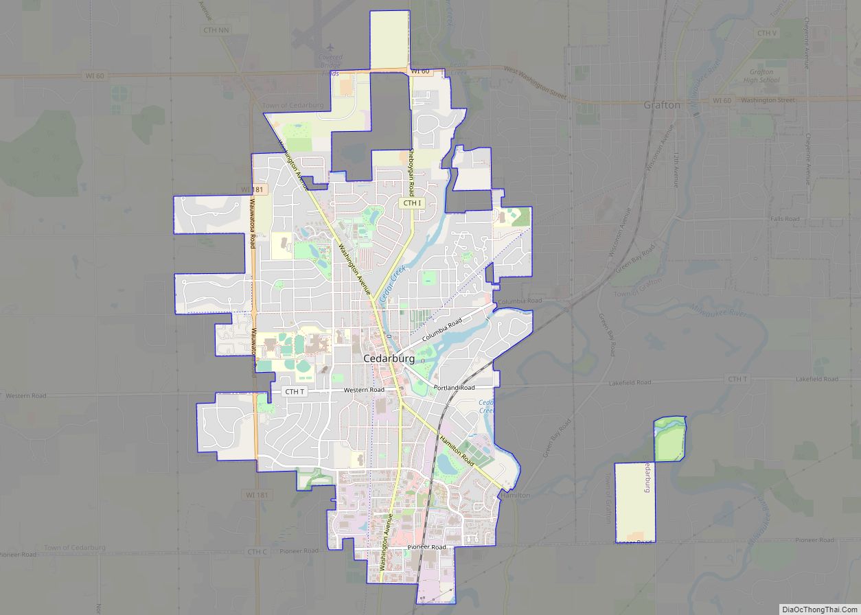
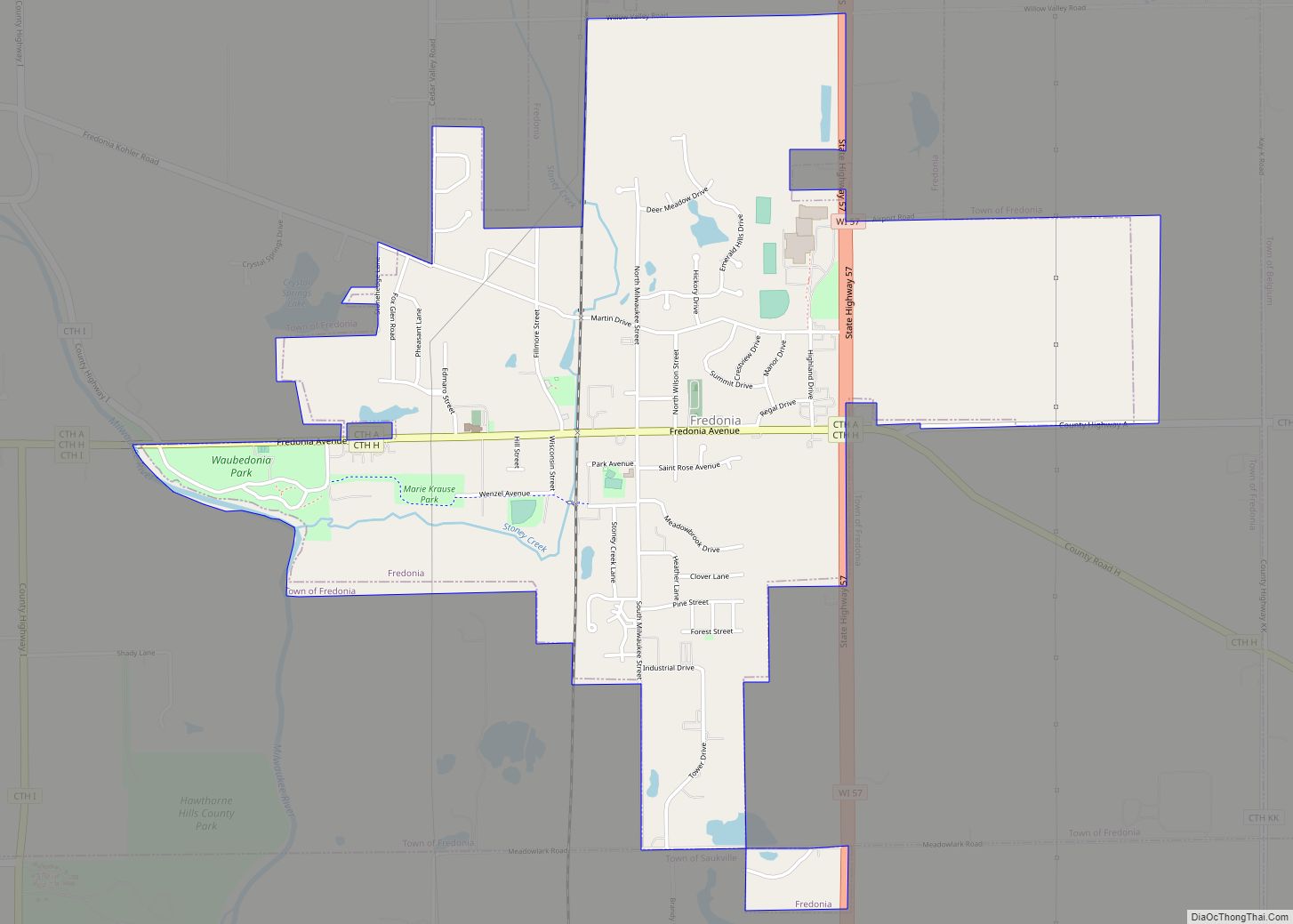
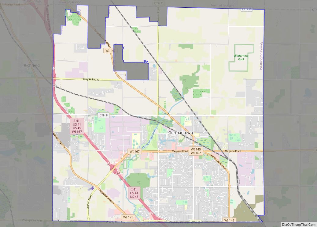
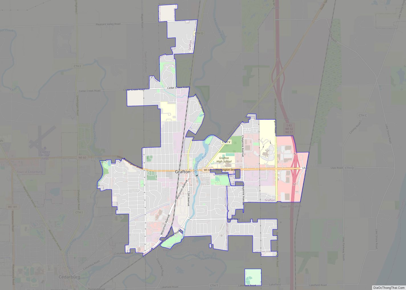
Online Interactive Map
Click on ![]() to view map in "full screen" mode.
to view map in "full screen" mode.
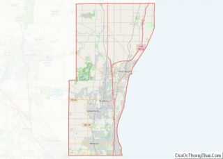
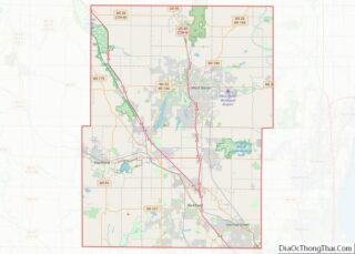
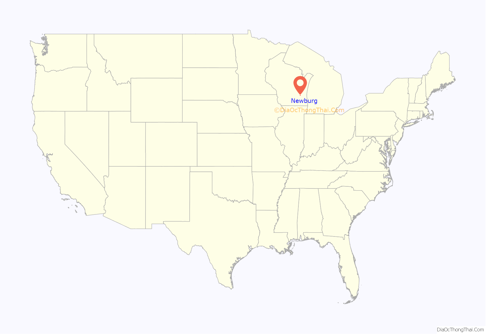
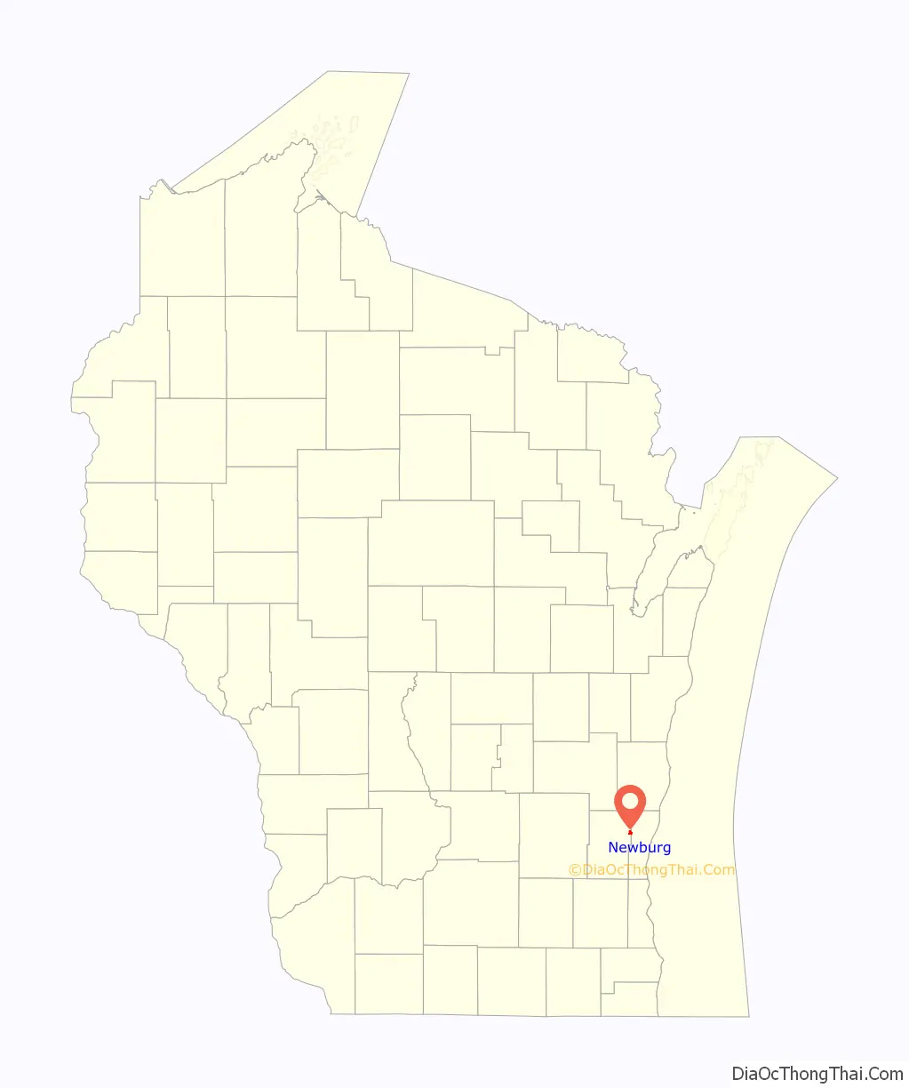
Newburg location map. Where is Newburg village?
History
Like many of the cities and villages on the Milwaukee River, Newburg formed around a hydropowered mill. In 1848, village founder Barton Salisbury built a dam on the river to power his feed and saw mills. While Salisbury died in a construction accident in 1849, one mill operated until 1903; the other closed in 1939. The dam was replaced and repaired several times, before finally being demolished in 2011–12.
The village incorporated in 1973 from land in the towns of Saukville and Trenton. At the time of incorporation, the population was 634.
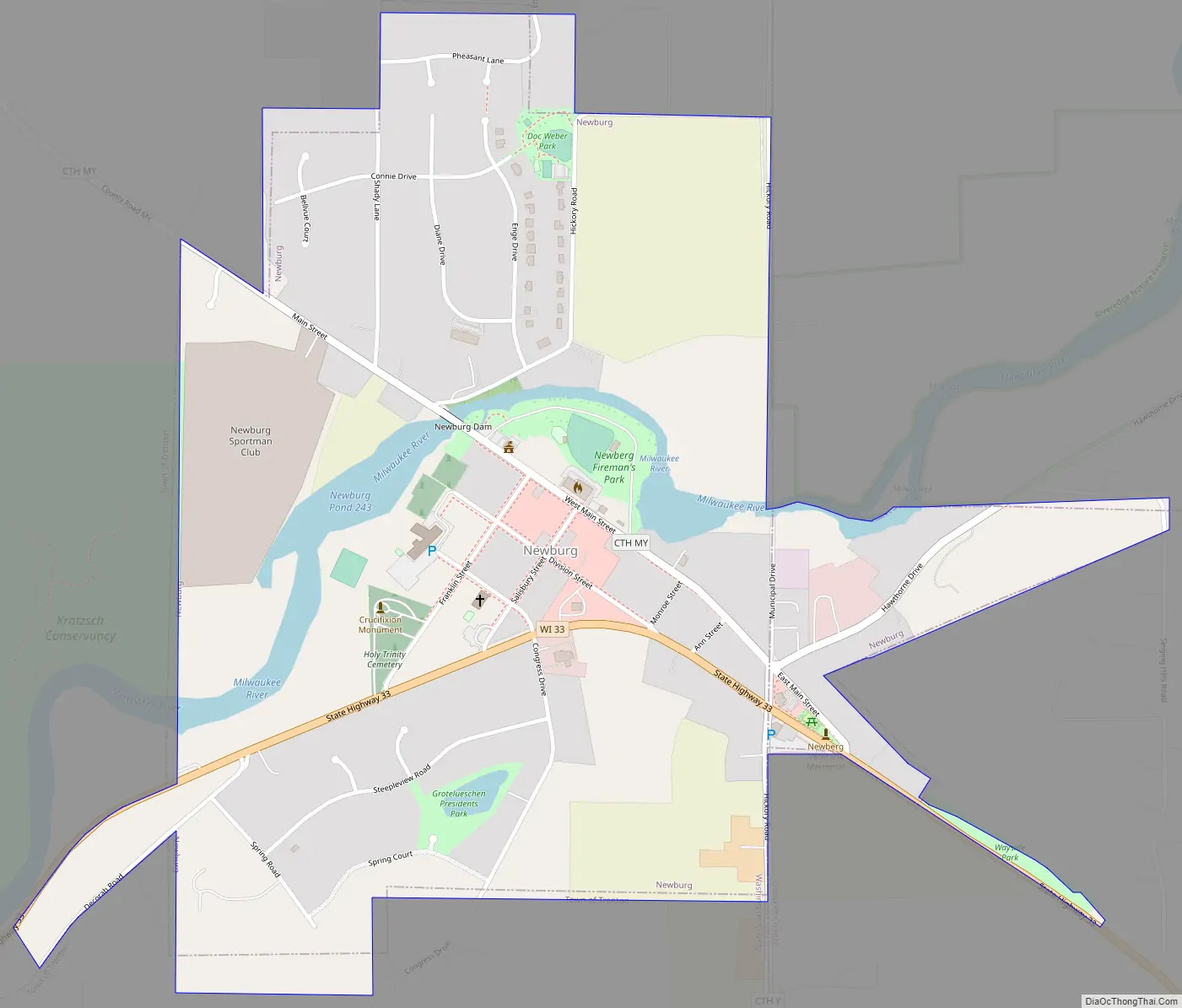
Newburg Road Map
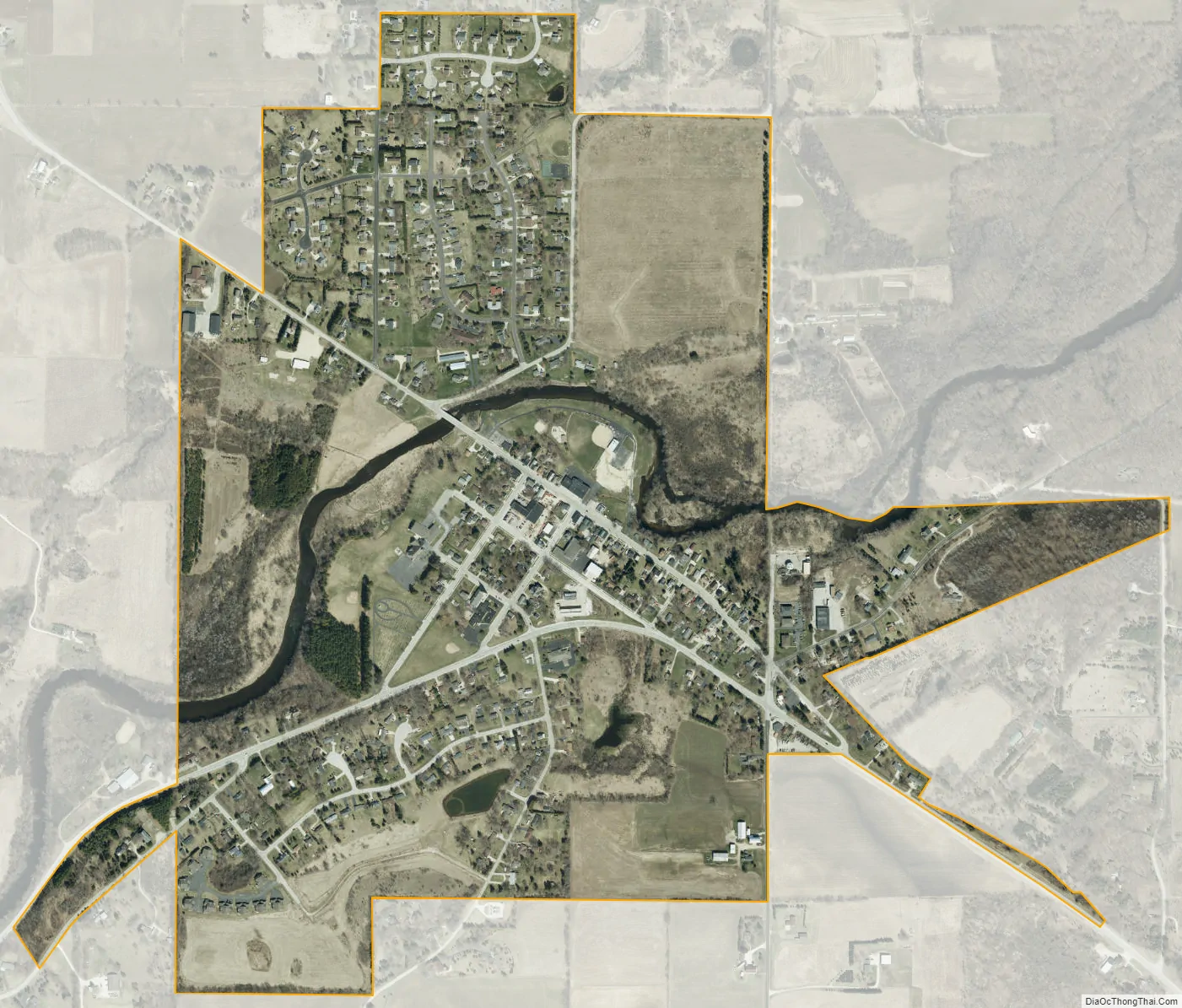
Newburg city Satellite Map
Geography
Newburg is located at 43°25′53″N 88°02′51″W / 43.431440°N 88.047631°W / 43.431440; -88.047631 (43.431440, -88.047631) on the Milwaukee River. According to the United States Census Bureau, the village has a total area of 0.91 square miles (2.36 km), all of it land.
See also
Map of Wisconsin State and its subdivision:- Adams
- Ashland
- Barron
- Bayfield
- Brown
- Buffalo
- Burnett
- Calumet
- Chippewa
- Clark
- Columbia
- Crawford
- Dane
- Dodge
- Door
- Douglas
- Dunn
- Eau Claire
- Florence
- Fond du Lac
- Forest
- Grant
- Green
- Green Lake
- Iowa
- Iron
- Jackson
- Jefferson
- Juneau
- Kenosha
- Kewaunee
- La Crosse
- Lafayette
- Lake Michigan
- Lake Superior
- Langlade
- Lincoln
- Manitowoc
- Marathon
- Marinette
- Marquette
- Menominee
- Milwaukee
- Monroe
- Oconto
- Oneida
- Outagamie
- Ozaukee
- Pepin
- Pierce
- Polk
- Portage
- Price
- Racine
- Richland
- Rock
- Rusk
- Saint Croix
- Sauk
- Sawyer
- Shawano
- Sheboygan
- Taylor
- Trempealeau
- Vernon
- Vilas
- Walworth
- Washburn
- Washington
- Waukesha
- Waupaca
- Waushara
- Winnebago
- Wood
- Alabama
- Alaska
- Arizona
- Arkansas
- California
- Colorado
- Connecticut
- Delaware
- District of Columbia
- Florida
- Georgia
- Hawaii
- Idaho
- Illinois
- Indiana
- Iowa
- Kansas
- Kentucky
- Louisiana
- Maine
- Maryland
- Massachusetts
- Michigan
- Minnesota
- Mississippi
- Missouri
- Montana
- Nebraska
- Nevada
- New Hampshire
- New Jersey
- New Mexico
- New York
- North Carolina
- North Dakota
- Ohio
- Oklahoma
- Oregon
- Pennsylvania
- Rhode Island
- South Carolina
- South Dakota
- Tennessee
- Texas
- Utah
- Vermont
- Virginia
- Washington
- West Virginia
- Wisconsin
- Wyoming