Slinger (formerly Schleisingerville) is a village in Washington County, Wisconsin, United States. The population was 5,992 at the 2020 census.
| Name: | Slinger village |
|---|---|
| LSAD Code: | 47 |
| LSAD Description: | village (suffix) |
| State: | Wisconsin |
| County: | Washington County |
| Incorporated: | 1869; 154 years ago (1869) |
| Elevation: | 1,063 ft (324 m) |
| Total Area: | 5.26 sq mi (13.63 km²) |
| Land Area: | 5.24 sq mi (13.57 km²) |
| Water Area: | 0.02 sq mi (0.06 km²) |
| Total Population: | 5,992 |
| Population Density: | 1,062.02/sq mi (410.07/km²) |
| Area code: | 262 |
| FIPS code: | 5574400 |
| GNISfeature ID: | 1574278 |
| Website: | www.vi.slinger.wi.gov |
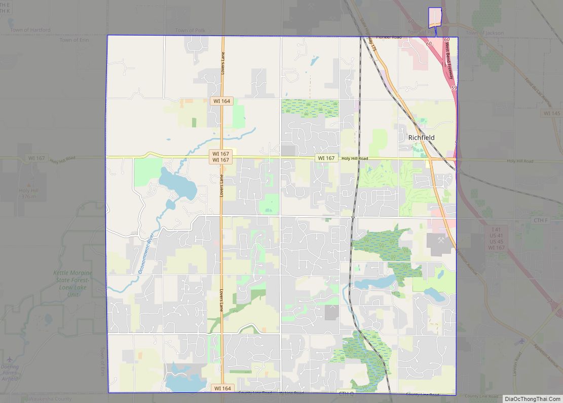
Online Interactive Map
Click on ![]() to view map in "full screen" mode.
to view map in "full screen" mode.
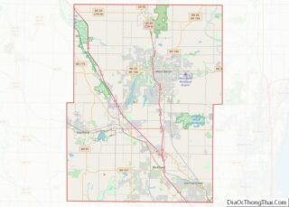
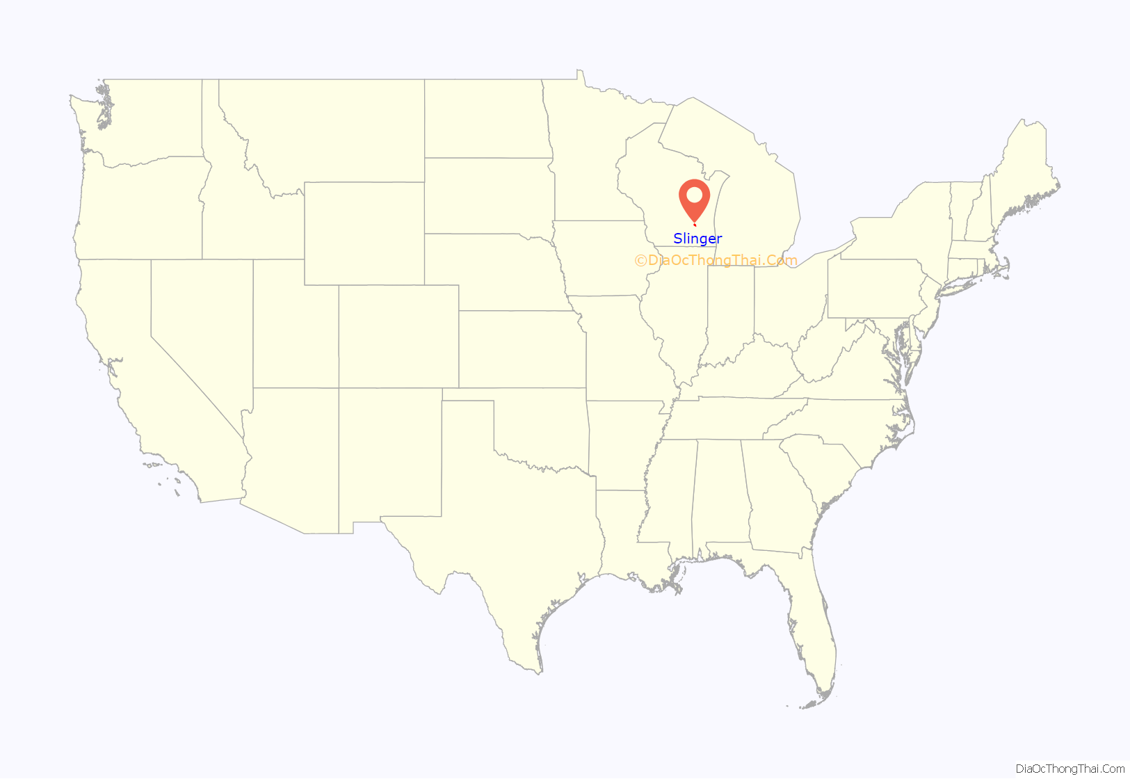
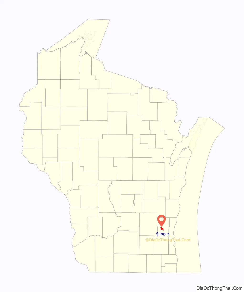
Slinger location map. Where is Slinger village?
History
In the early 19th century, the Slinger area was home to Potawatomi Native Americans, who surrendered the land the United States Federal Government in 1833 through the 1833 Treaty of Chicago, which (after being ratified in 1835) required them to leave Wisconsin by 1838. While many Potawatomis moved west of the Mississippi River to Kansas, some chose to remain, and were referred to as “strolling Potawatomi” in contemporary documents because many of them were migrants who subsisted by squatting on their ancestral lands, which were now owned by white settlers. One band of strolling Potawatomi travelled through Dodge, Jefferson, and Washington counties, and was led by Chief Kewaskum, who had a camp on Pike Lake, west of Slinger. Kewaskum was friendly with the white settlers who began arriving in the 1840s. He died sometime between 1847 and 1850, and the early settlers named the Village of Kewaskum in his honor. Itinerant Potawatomis lived in Washington County into the late 19th century, when many of them gathered in northern Wisconsin to form the Forest County Potawatomi Community.
Baruch Schleisinger Weil, a Jewish-American immigrant from Strasbourg, Alsace, laid the village’s foundation when he bought 2,000 acres of land in Washington County on November 1, 1845. He soon built a general store to serve local farmers, loggers and Native Americans, and later opened a distillery. Other merchants and manufacturers, including blacksmiths, shoemakers, wagon makers and tanners, began settling in the area, which was called “Schleisingerville” in Weil’s honor. For the first two decades of its history, the community was part of the Town of Polk, which was organized on January 21, 1846.
In 1850, Weil opened a post office and in 1855 he worked to have the La Crosse and Milwaukee Railroad pass through the community. The rail line was completed on August 23, 1855. The village grew because of its rail connections and incorporated out of some of the Town of Polk’s land in 1869. From the mid-19th century into the mid-20th century, the community was predominantly rural, and most of the businesses supplied farmers and area residents.
In its first decades, the village had a distinctly German culture. The first Catholic church opened in 1862, and the first Lutheran Church opened in 1863. In the late 19th and early 20th centuries, the village had a Turnverein and a German-language weekly newspaper called Der Botschafter (English: The Messenger).
Following World War II, the village saw the growth of heavy industry, including the Slinger Foundry Company, which manufactures parts for Briggs & Stratton and Harley-Davidson. Between 1970 and 2000, the village experienced rapid population growth and real estate development, and Washington County became increasingly suburbanized.
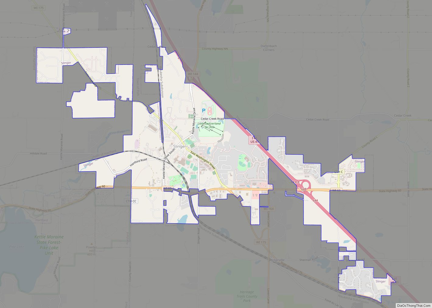
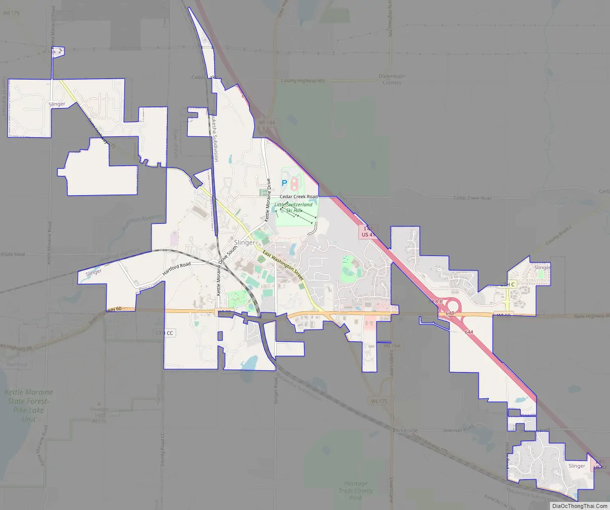
Slinger Road Map
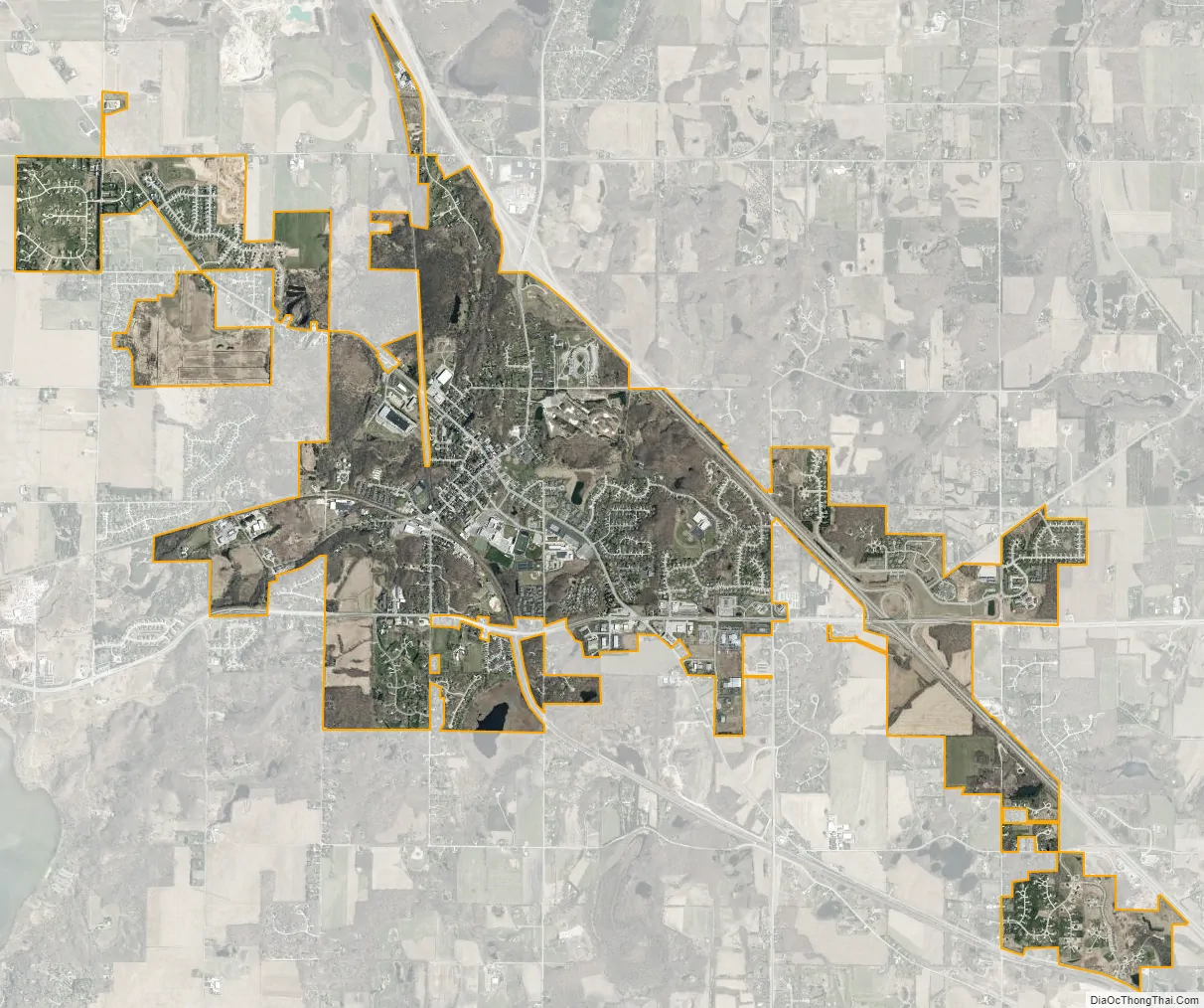
Slinger city Satellite Map
Geography
Slinger is located at 43°19′42″N 88°17′0″W / 43.32833°N 88.28333°W / 43.32833; -88.28333 (43.328466, -88.283461).
According to the United States Census Bureau, the village has a total area of 5.31 square miles (13.75 km), of which, 5.29 square miles (13.70 km) of it is land and 0.02 square miles (0.05 km) is water.
Slinger is known as the “village of seven hills” as it rests in the heart of the Kettle Moraine.
Climate
See also
Map of Wisconsin State and its subdivision:- Adams
- Ashland
- Barron
- Bayfield
- Brown
- Buffalo
- Burnett
- Calumet
- Chippewa
- Clark
- Columbia
- Crawford
- Dane
- Dodge
- Door
- Douglas
- Dunn
- Eau Claire
- Florence
- Fond du Lac
- Forest
- Grant
- Green
- Green Lake
- Iowa
- Iron
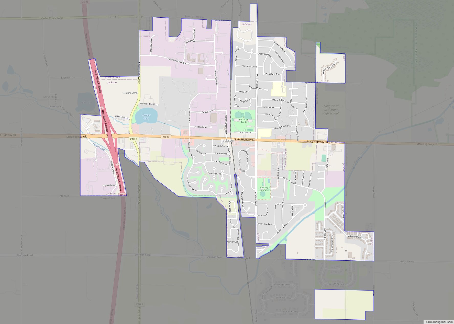
- Jackson
- Jefferson
- Juneau
- Kenosha
- Kewaunee
- La Crosse
- Lafayette
- Lake Michigan
- Lake Superior
- Langlade
- Lincoln
- Manitowoc
- Marathon
- Marinette
- Marquette
- Menominee
- Milwaukee
- Monroe
- Oconto
- Oneida
- Outagamie
- Ozaukee
- Pepin
- Pierce
- Polk
- Portage
- Price
- Racine
- Richland
- Rock
- Rusk
- Saint Croix
- Sauk
- Sawyer
- Shawano
- Sheboygan
- Taylor
- Trempealeau
- Vernon
- Vilas
- Walworth
- Washburn
- Washington
- Waukesha
- Waupaca
- Waushara
- Winnebago
- Wood
- Alabama
- Alaska
- Arizona
- Arkansas
- California
- Colorado
- Connecticut
- Delaware
- District of Columbia
- Florida
- Georgia
- Hawaii
- Idaho
- Illinois
- Indiana
- Iowa
- Kansas
- Kentucky
- Louisiana
- Maine
- Maryland
- Massachusetts
- Michigan
- Minnesota
- Mississippi
- Missouri
- Montana
- Nebraska
- Nevada
- New Hampshire
- New Jersey
- New Mexico
- New York
- North Carolina
- North Dakota
- Ohio
- Oklahoma
- Oregon
- Pennsylvania
- Rhode Island
- South Carolina
- South Dakota
- Tennessee
- Texas
- Utah
- Vermont
- Virginia
- Washington
- West Virginia
- Wisconsin
- Wyoming